Good navigation is about much more than following a line on a screen.
Knowing how to read the terrain, understand a topographic map, use a compass and recognise when your position no longer matches your plan can make a huge difference when tracks become faint, conditions change or visibility disappears.
I’ve brought together a collection of hiking navigation guides covering map and compass skills, GPS devices and watches, navigation apps, bearings, terrain features, poor visibility, night navigation and more.
Whether you’re building your navigation skills from the ground up or looking to become more confident away from well-marked trails, there’s plenty here to explore.
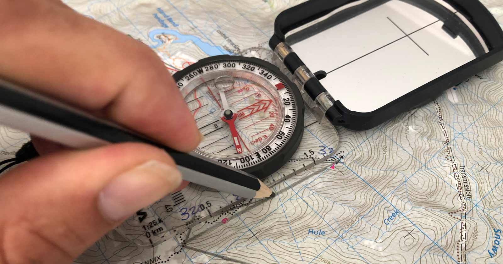
Advanced Hike Navigation Techniques in Australia
Read more →Resection, celestial navigation and dead reckoning explained for hikers heading into remote Australian terrain, and when each one actually helps.
Altimeters and Vertical Awareness for Hiking in Australia
Read more →How altimeters add vertical awareness to hiking navigation in Australia, confirming position and catching errors maps and compasses miss.
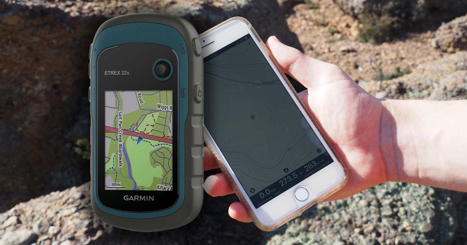
Apps, GPS Devices, and Why Maps Still Matter
Read more →Comparing hiking apps, GPS devices, and map and compass navigation for Australian conditions, and why redundancy matters more than any single tool.
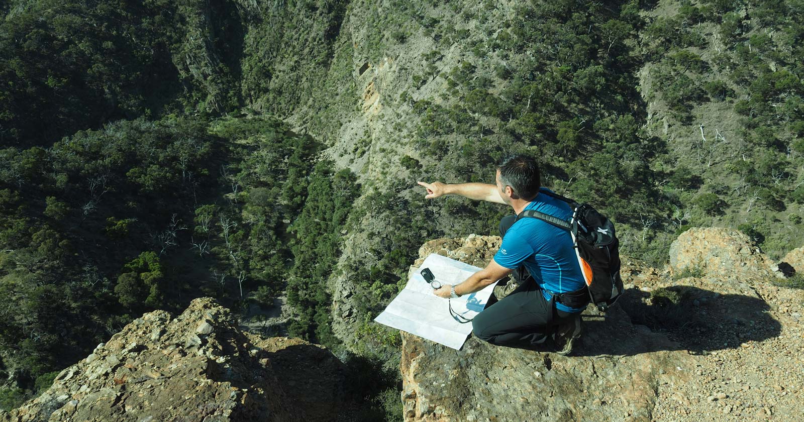
Catching features: using the landscape to confirm your navigation
Read more →How catching features, aiming off and handrails help you confirm your position and catch navigation errors early on Australian hikes.
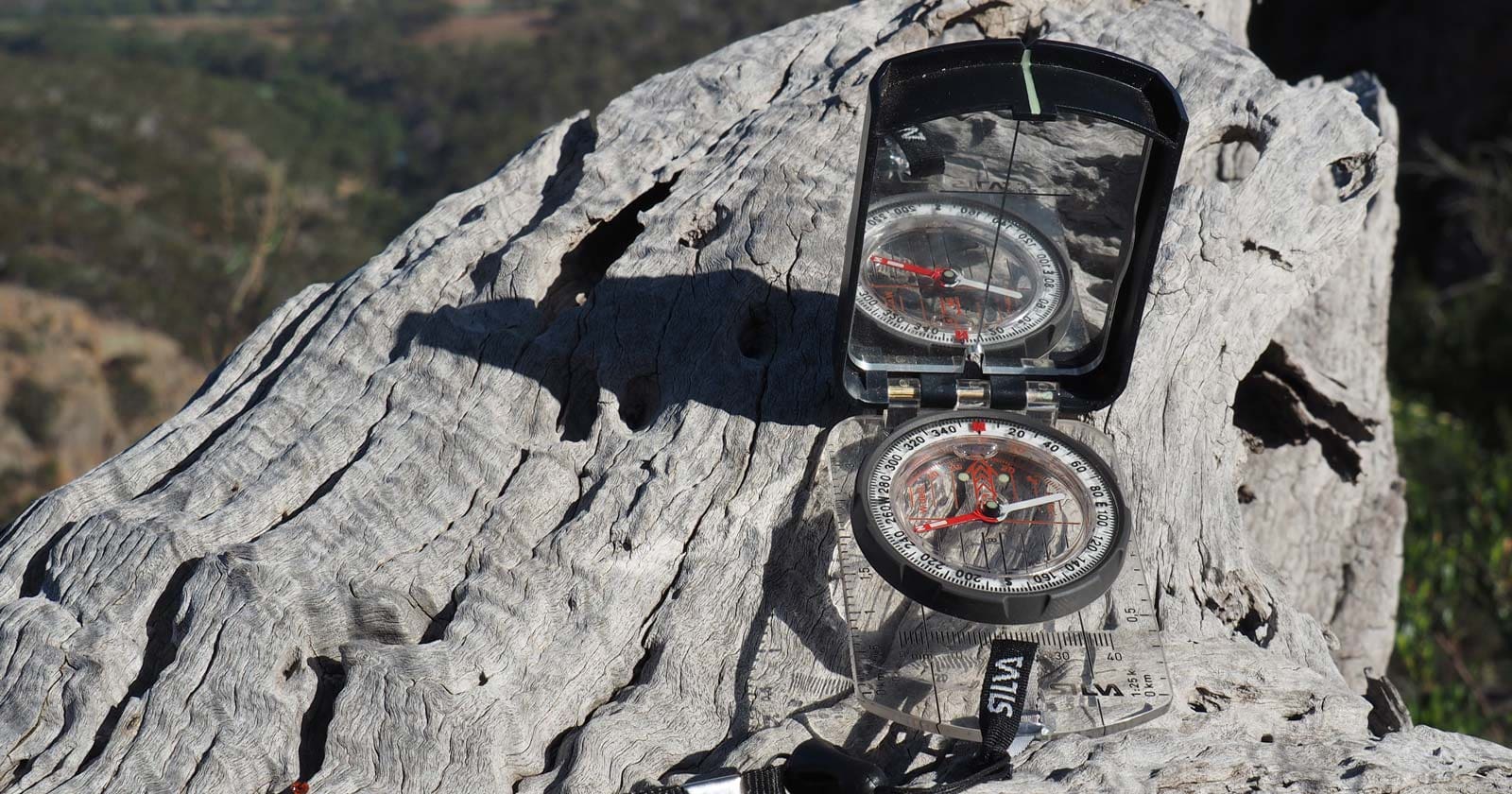
Choosing the Right Compass for Hiking in Australia
Read more →What actually matters when choosing a hiking compass for Australian conditions: needle performance, hemisphere balance, declination and durability.

Essential Navigation Equipment for Hiking in Australia
Read more →The core navigation equipment for hiking in Australia: topographic maps, compass, GPS, and altimeter, how they work together, and where they fail.
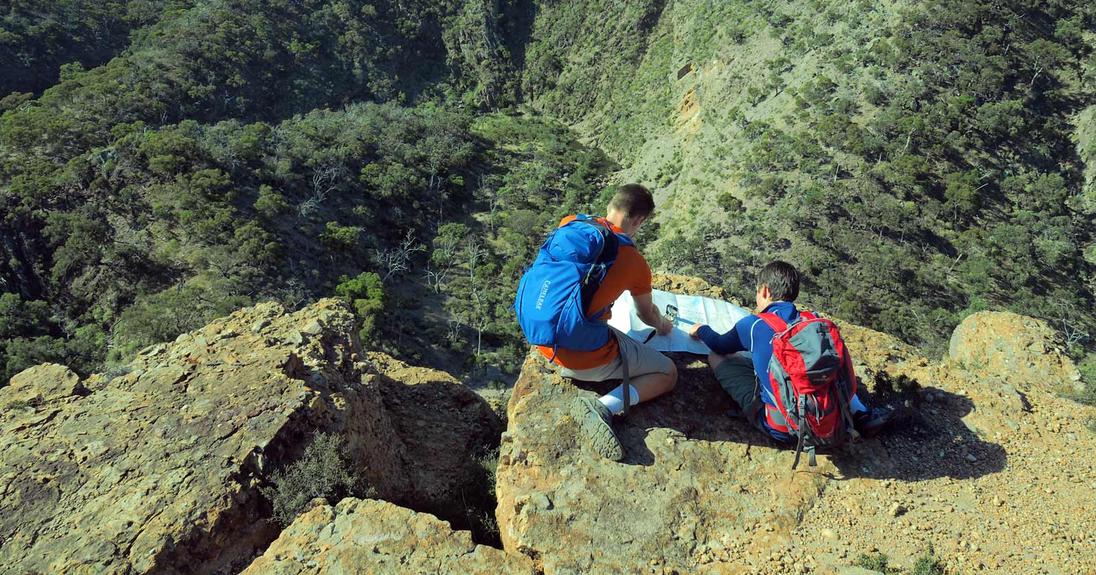
Essential navigation tips for safer hiking
Read more →Practical navigation habits for Australian hikers: planning before you leave, reading terrain, choosing spurs over gullies, and catching mistakes early.
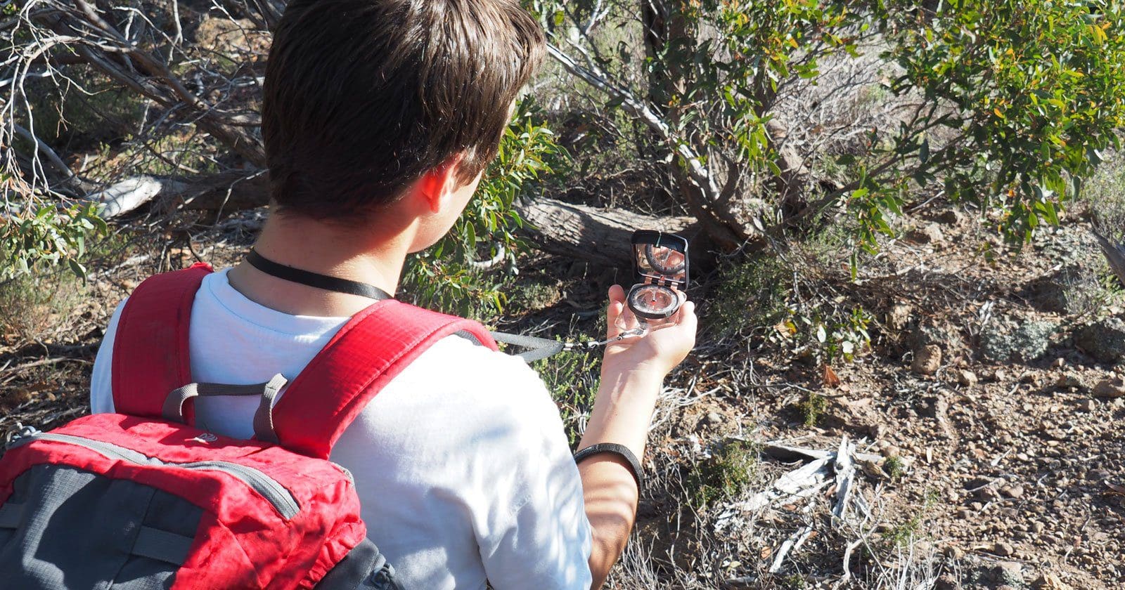
Following a Bearing While Hiking
Read more →How to follow a compass bearing on the trail: using landmarks, sectioning routes, managing drift and obstacles in Australian bush conditions.
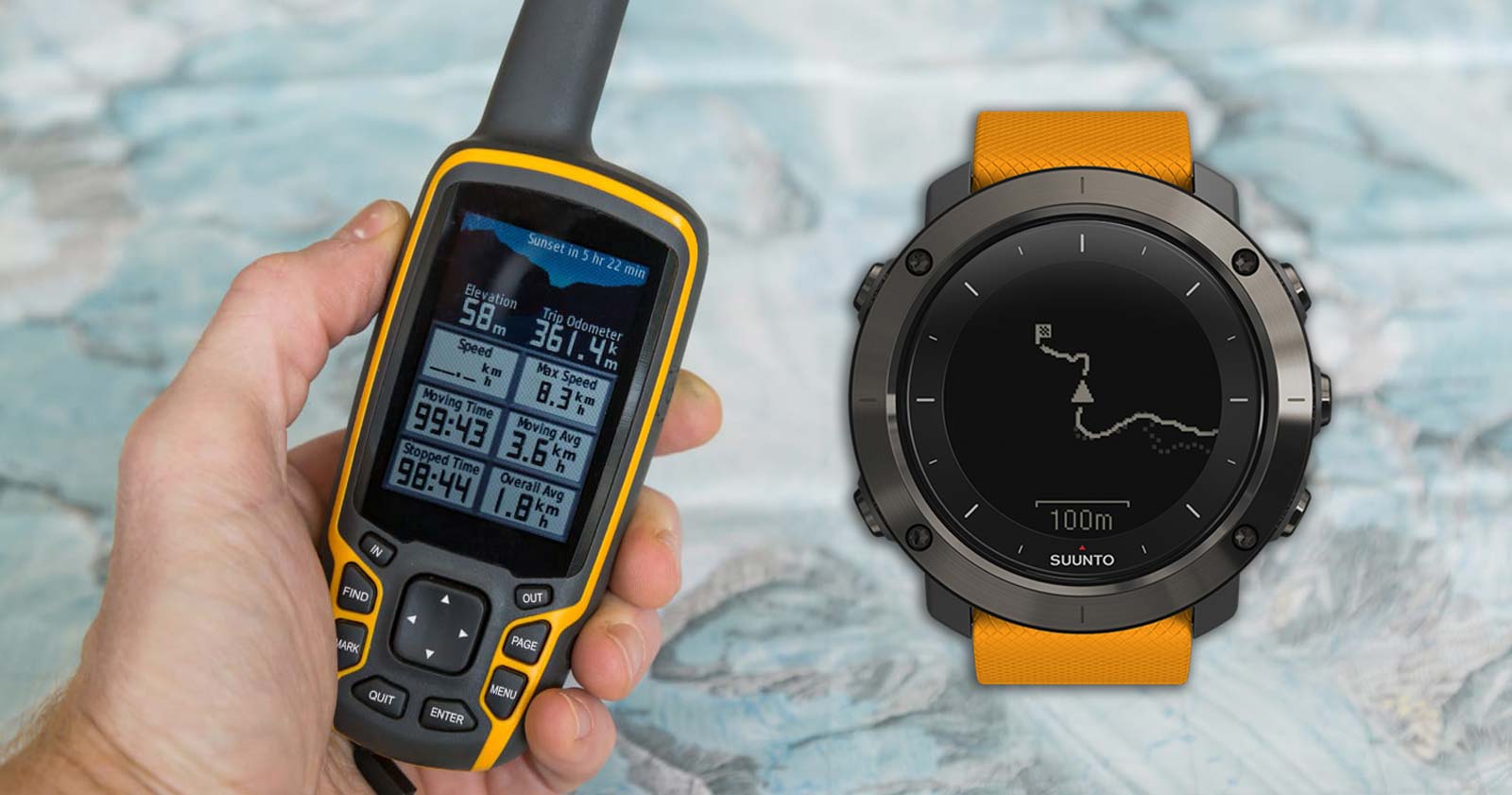
GPS Watches vs Handheld GPS Devices for Hiking
Read more →GPS watches and handheld GPS devices do different jobs on the trail. Here’s how each works, where they fall short, and when to carry which.

Hiking at Night: Planning, Navigation, and Safety
Read more →Planning, navigation and safety for hiking at night in Australia: route choice, lighting, wildlife, fatigue, and what to do if you get lost.
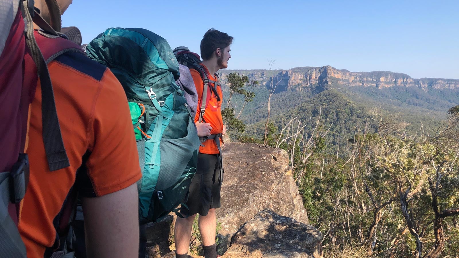
How to Verify Hiking Route Information Before a Hike
Read more →Apps, GPX files, maps and AI tools can all be wrong. How to check where hiking route information came from, and what to do when the terrain doesn’t match.
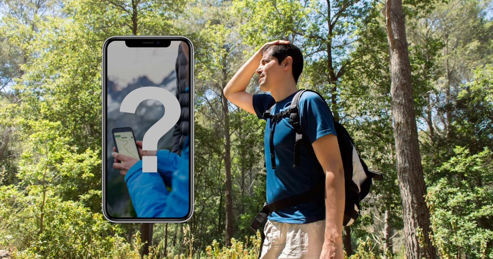
Issues with AllTrails and Crowd-Sourced Navigation Apps
Read more →Why AllTrails and crowd-sourced navigation apps can mislead hikers: inaccurate trails, wrong grades, and real search and rescue incidents in Victoria.
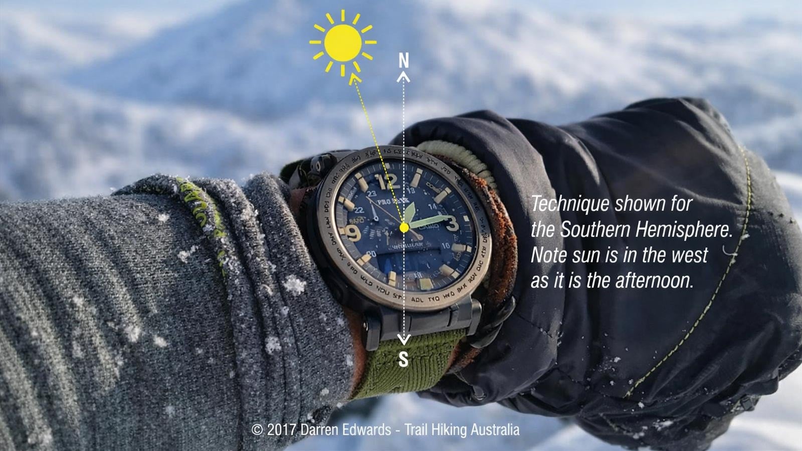
Navigating by the Sun in Australia
Read more →How to navigate by the sun in Australia’s Southern Hemisphere sky, using shadow stick and watch methods, plus where these techniques fall short.
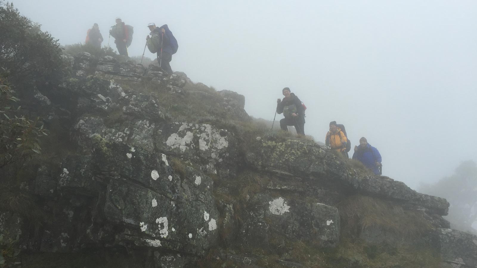
Navigation in Poor Visibility for Hiking in Australia
Read more →Navigating in fog, smoke, dense bush, or darkness in Australia: managing bearings, handrails, contours and decision making when visibility drops.
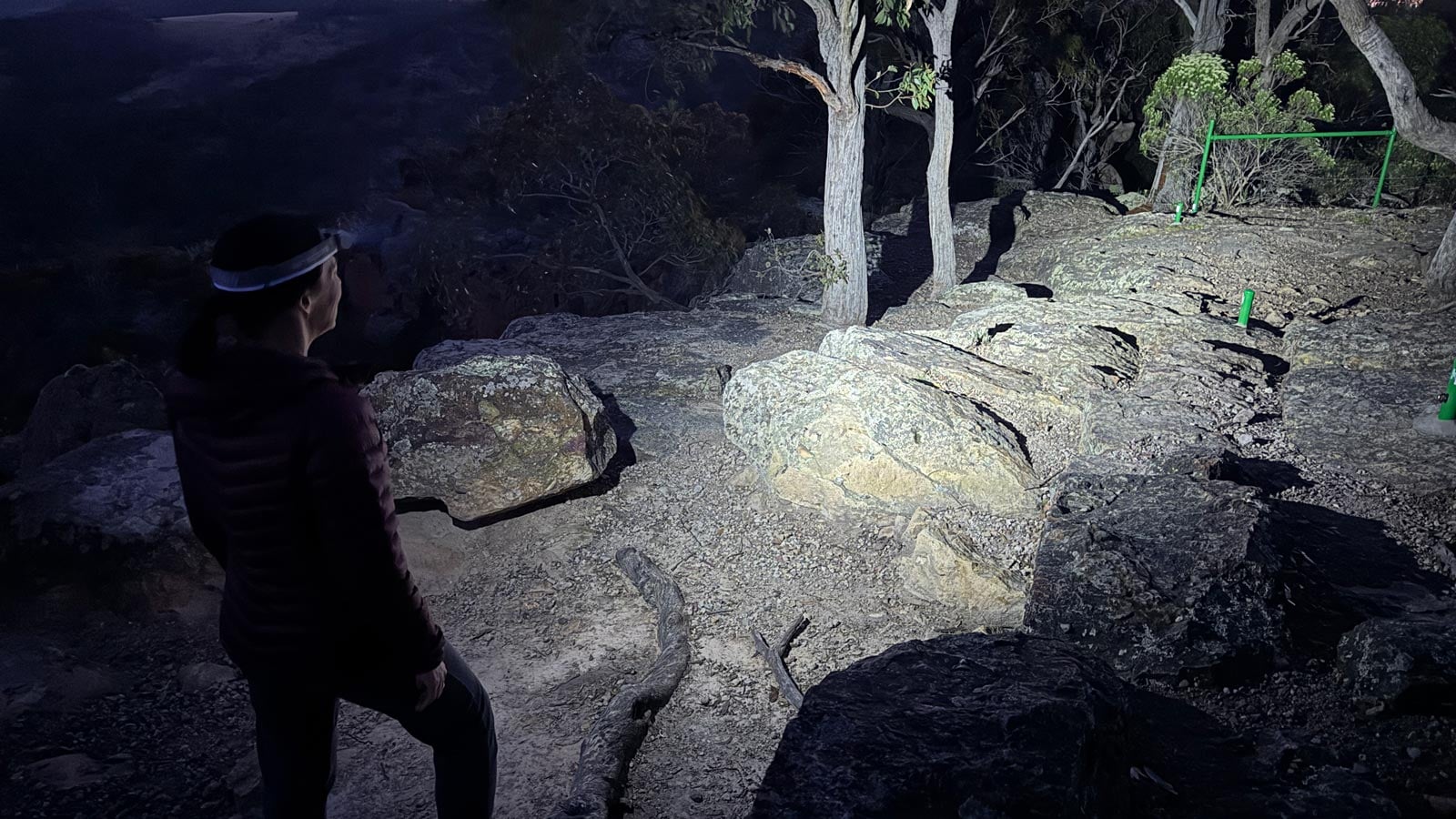
Night Navigation Using the Southern Cross and the Moon
Read more →How to use the Southern Cross and the Moon for night navigation in Australia, plus what to do if you lose your bearings after dark.
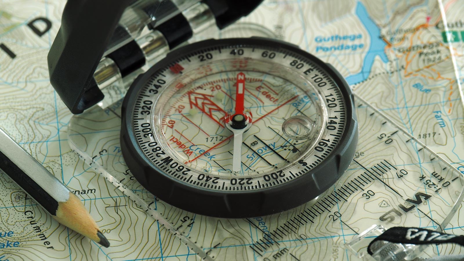
Parts of a Hiking Compass: Labelled Diagram and What Each Part Does
Read more →A labelled diagram of the 10 parts of a baseplate compass, with a plain-English explanation of what each part does and how they work together.
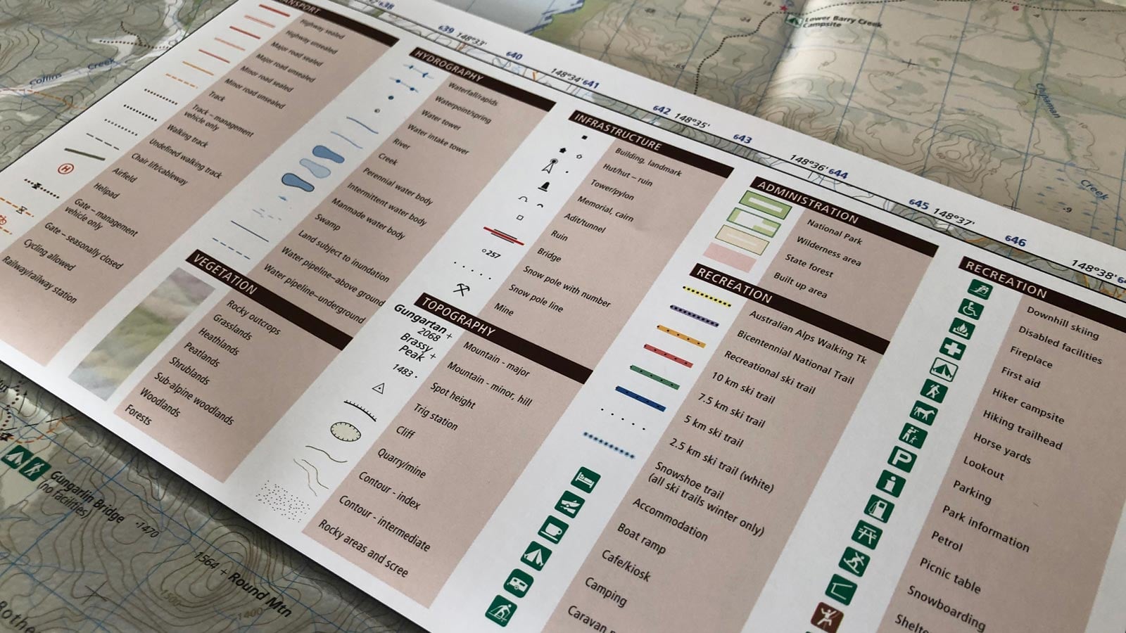
Reading Map Legends on Australian Topographic Maps
Read more →How to read legends on Australian topographic maps: symbol categories, publisher differences, and why a symbol shows existence, not condition.
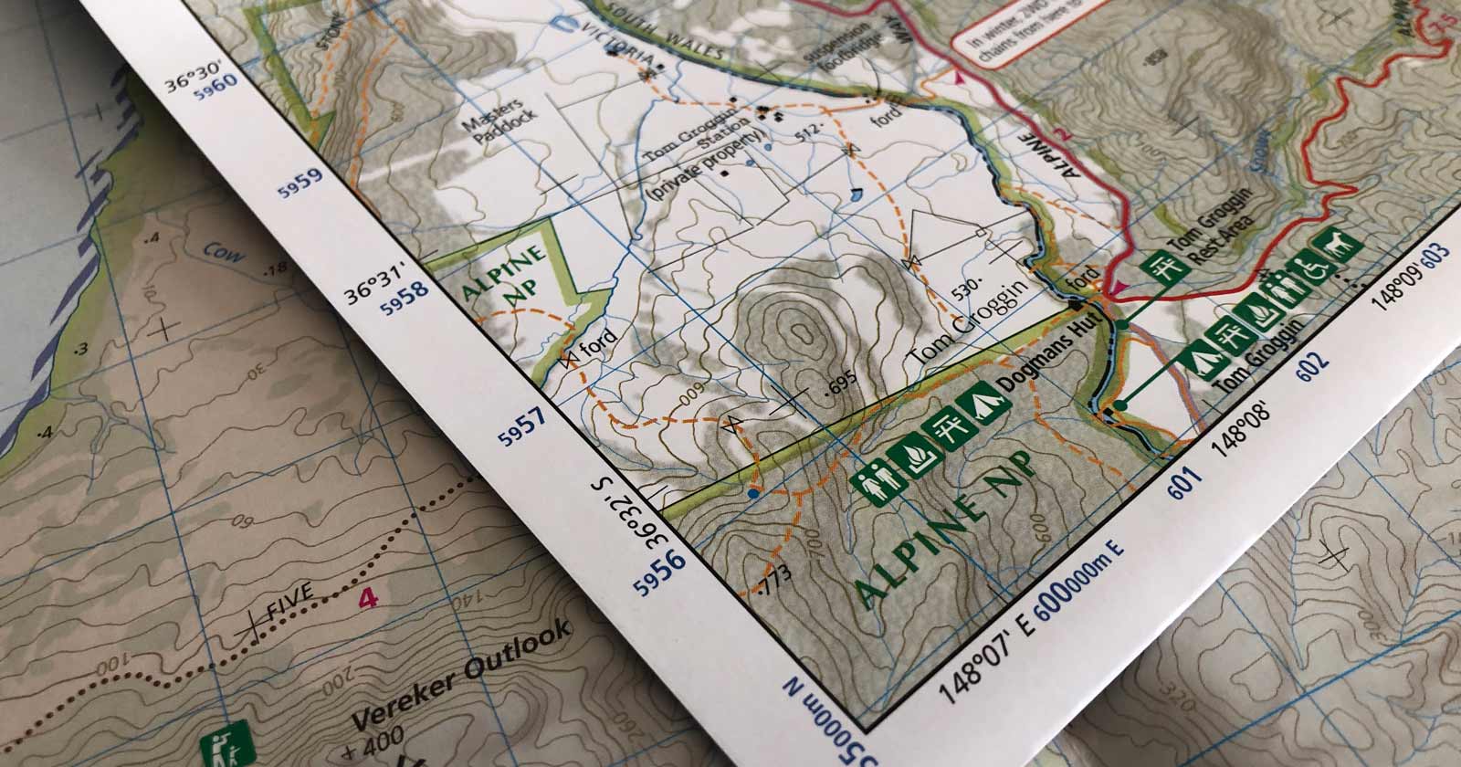
Reading Topographic Maps for Hiking in Australia
Read more →A practical guide to reading Australian topographic maps: scale, contours, elevation, grid systems, and symbols for safer hiking decisions.

Rock Cairns and Navigation Safety in the Australian Bush
Read more →How to tell a legitimate navigation cairn from a decorative stone stack, and why misleading stacks are a real hazard in the Australian bush.

Rogaining and Orienteering for Hikers
Read more →How rogaining and orienteering build real navigation skills for hikers, from map reading and compass bearings to decision making in Australian bush.
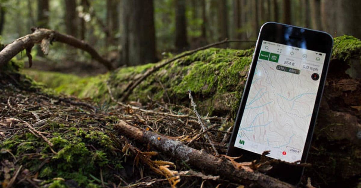
Safety and Navigation Apps for Hiking in Australia
Read more →A curated list of safety and trail navigation apps for hiking in Australia, covering emergency response, weather, first aid, and offline mapping.
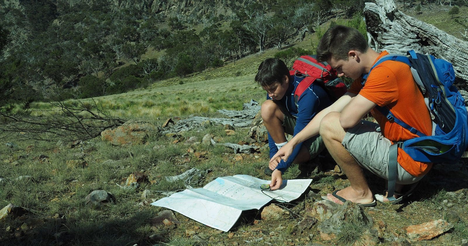
Staying on Route While Hiking
Read more →How to stay on route while hiking in Australia: planning, map and compass use, spotting early signs of drift, and what to do when unsure.
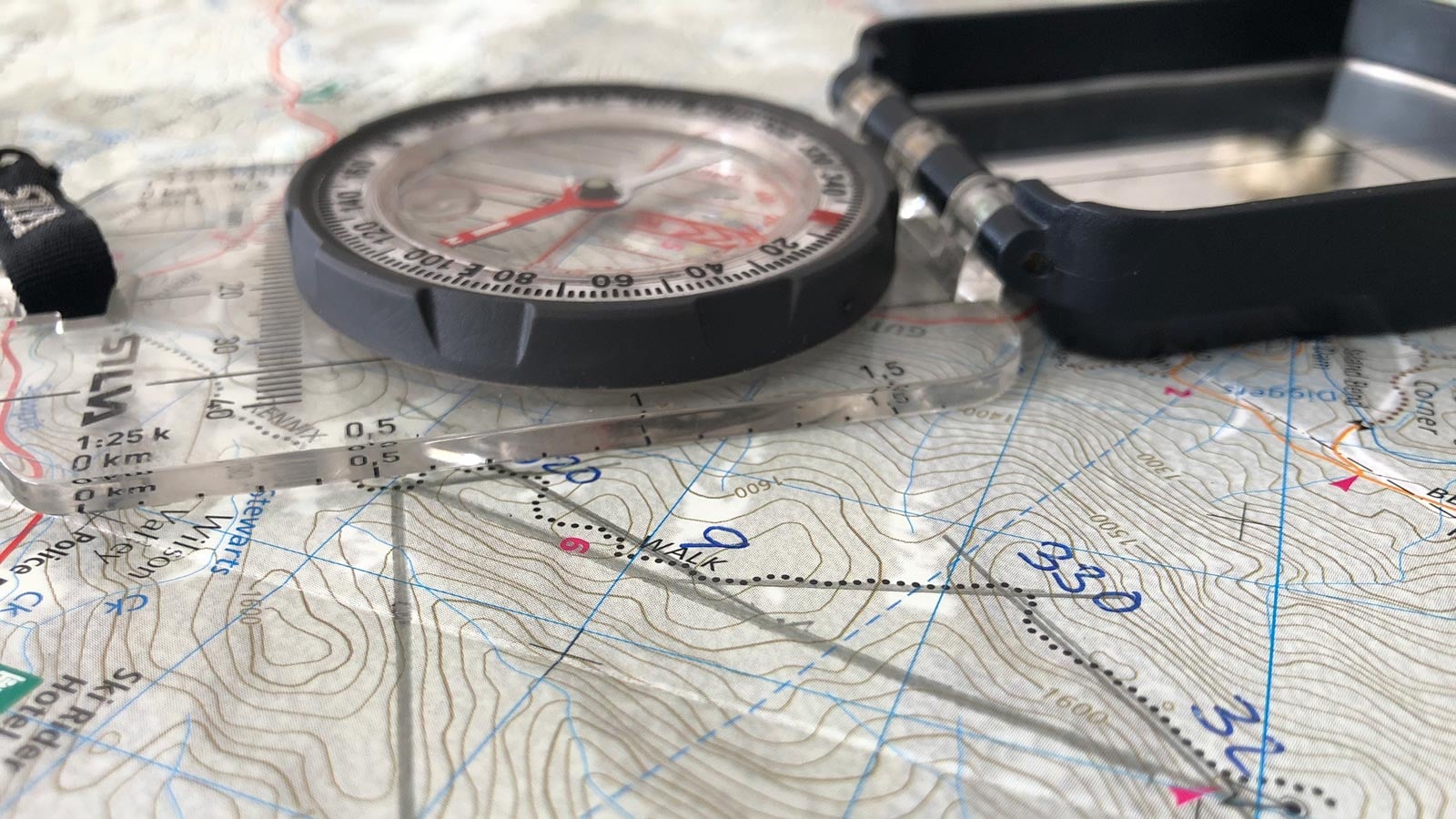
Taking a Bearing from a Map
Read more →How to take a bearing from a map: aligning the compass with the grid, reading the index line, and the common mistakes that throw it off.
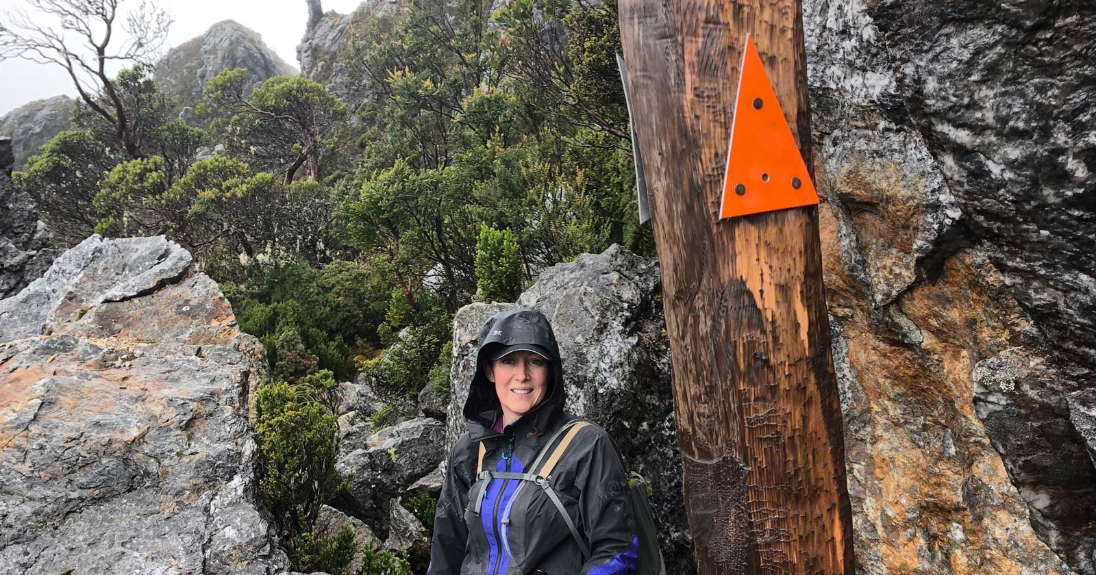
Track markers, pads and false trails: navigating beyond the paint
Read more →How trail markers, cairns and ribbon work in Australian bush navigation, their limits, and what to do when markers disappear or a false trail appears.
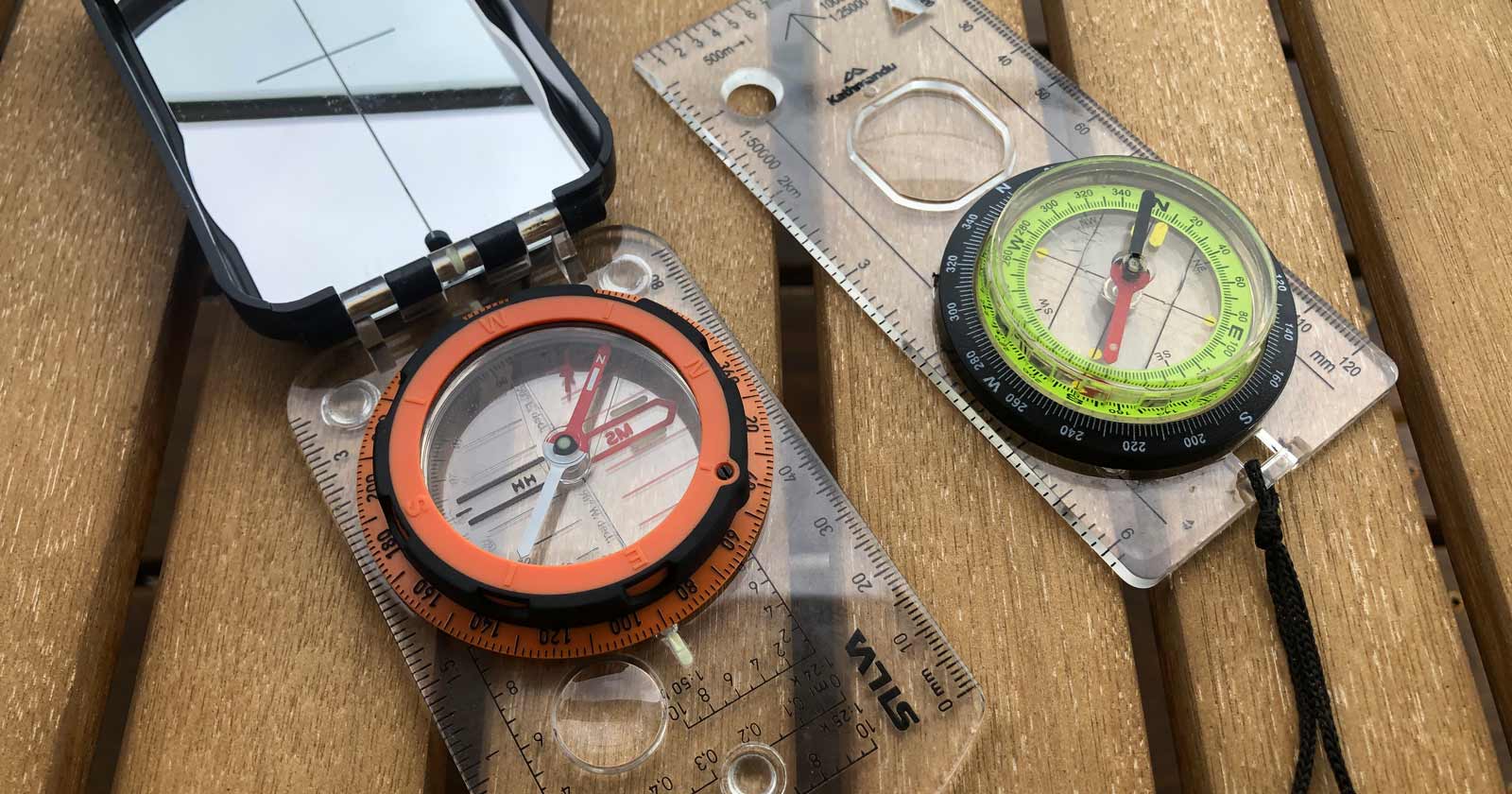
Understanding reverse polarity in a compass
Read more →What causes reverse polarity in a hiking compass, how to spot it early, and why a reversed needle should never be trusted again on the trail.
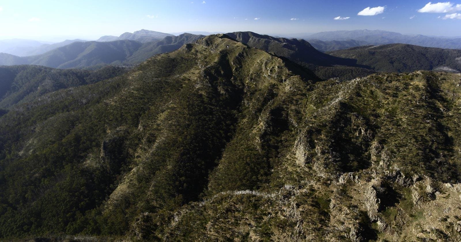
Understanding topographic features on Australian maps
Read more →How to read hills, spurs, ridges, gullies, saddles, and drainage on Australian topographic maps, and use them for safe off-track navigation.
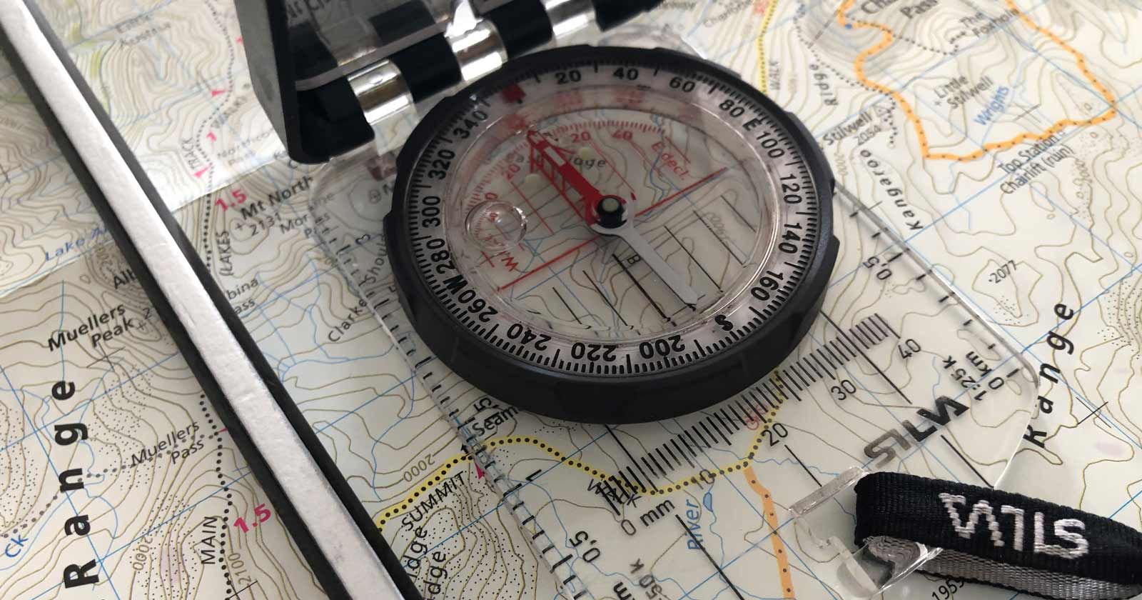
Using a Compass Correctly When Hiking
Read more →How to use a compass correctly for hiking in Australia, covering declination, taking and following bearings, and navigating in poor visibility.
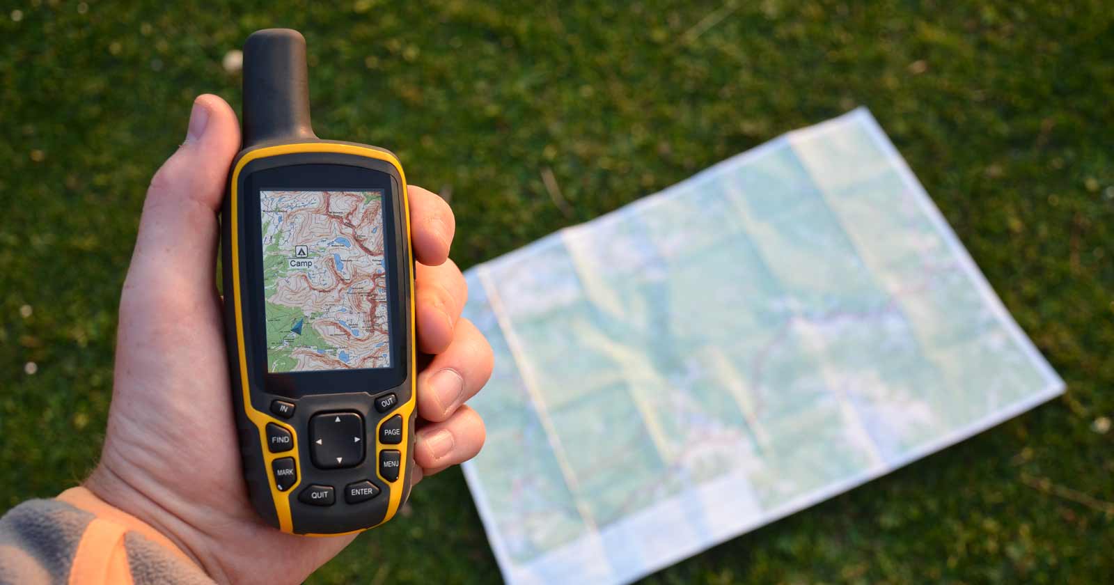
Using a GPS for hiking navigation in Australia
Read more →GPS can strengthen hiking navigation in Australia, but only when you understand what it estimates, where it fails, and why it should never stand alone.
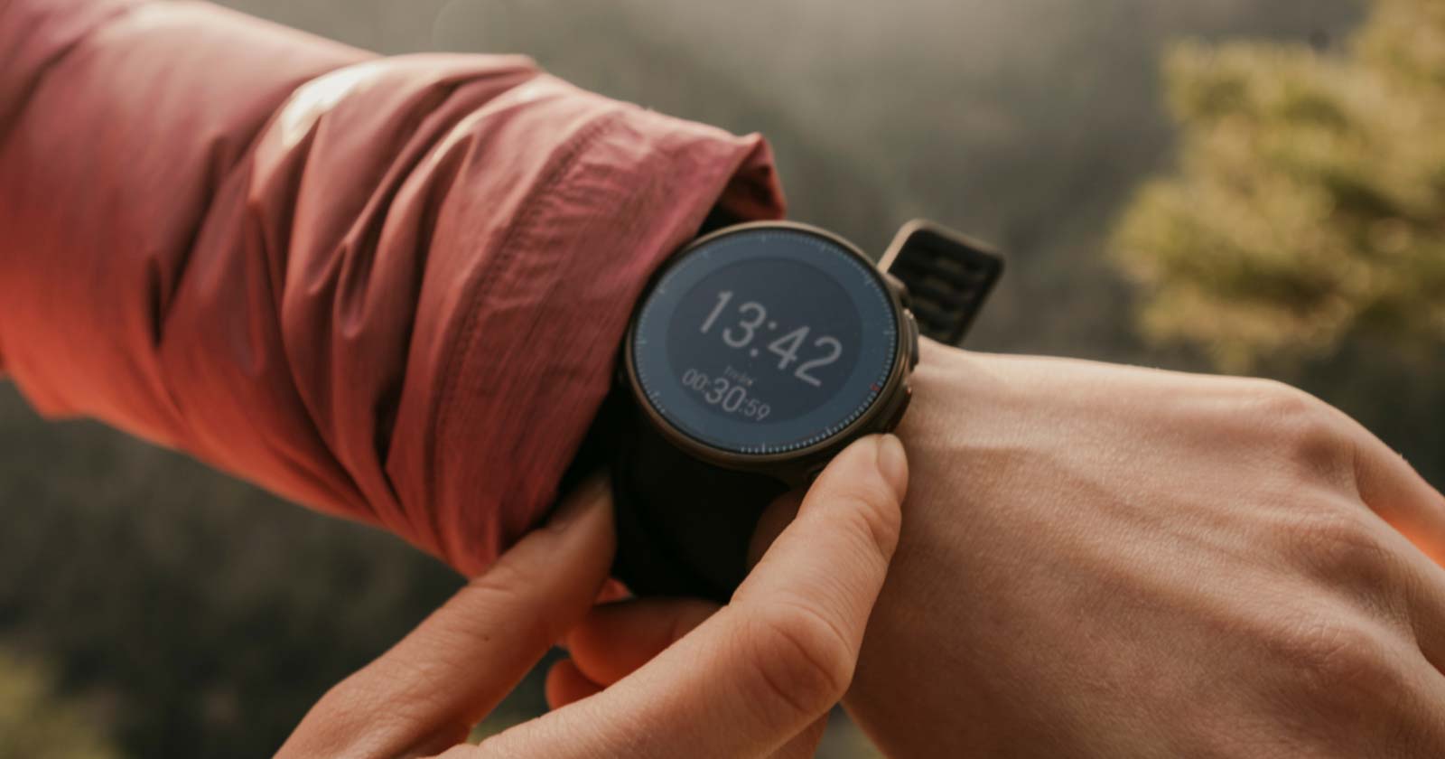
Using a GPS Watch for Hiking
Read more →GPS watches add convenience on the trail, but wrist placement, small screens, and battery limits mean they work best as a check, not a primary navigator.
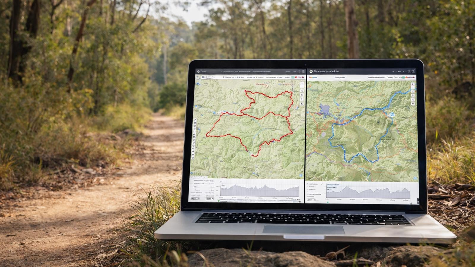
Using Digital Route Planning Tools for Hiking
Read more →How to use digital route planning tools properly for Australian hikes, including elevation profiles, track data limits and paper map backups.
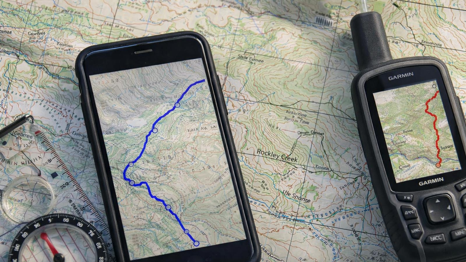
Using GPX and KML files for hiking
Read more →Understanding GPX and KML track files for hiking in Australia, how they differ, and why they should confirm your navigation, not replace it.

Using Trail Navigation Apps Safely
Read more →Trail navigation apps help hikers plan and stay oriented, but GPS drift, battery loss and bad data mean they can’t replace a map and compass.
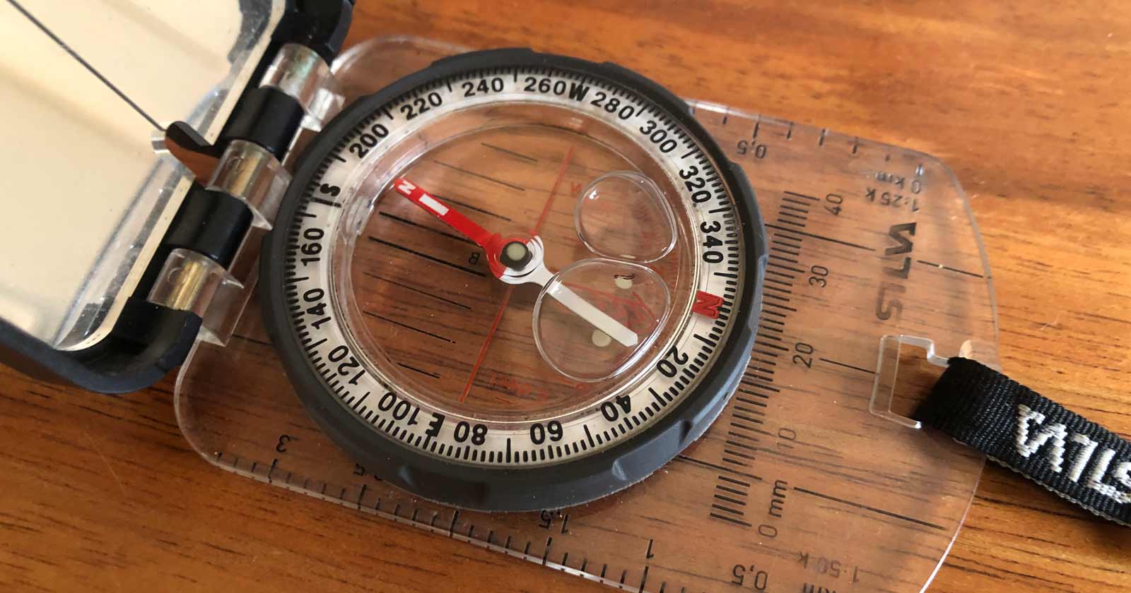
What causes compass bubbles and how they impact navigation
Read more →What causes compass bubbles, when they’re harmless, when they signal a real fault, and simple field checks to tell the difference on the trail.
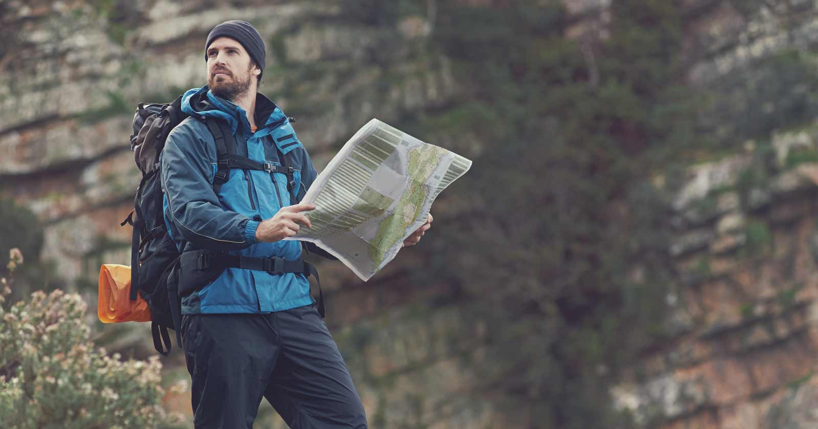
Why navigation matters when hiking in Australia
Read more →Why navigation is a core hiking skill in Australia, not just a way to avoid getting lost, and how it builds safety, control and confidence on the trail.
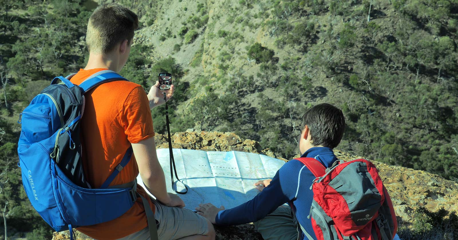
Why use a compass for hiking
Read more →Why a compass still matters for Australian hikers: no batteries, no signal dependence, and a dependable reference when other tools become unreliable.


