Sorry, no records were found. Please adjust your search criteria and try again.
Sorry, unable to load the Maps API.
Explore stunning hiking trails in the Wombat-Lerderderg National Park
Discover the diverse trails of the Wombat-Lerderderg National Park, Victoria, offering hikes and walks for all skill levels and interests. Find your perfect adventure today.
Discover 47 hiking trails in Wombat-Lerderderg National Park



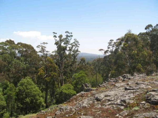
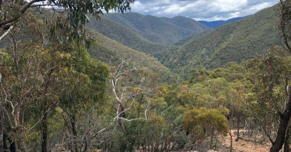
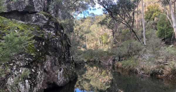
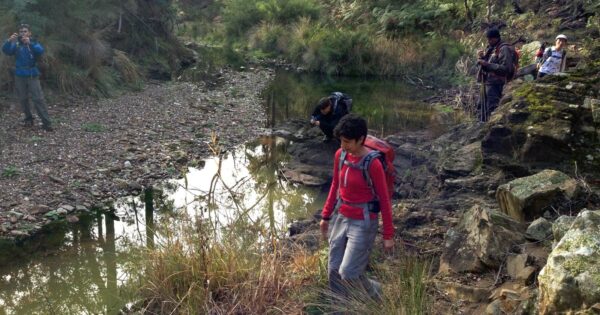


From Lerderderg Gorge to the Wombat Forest Highlands
Overview
Wombat-Lerderderg National Park extends across Victoria’s Central West between Daylesford and Bacchus Marsh, protecting more than 44,000 hectares of forest, river valleys, ridges and upland country west and north-west of Melbourne. Formed from the former Lerderderg State Park and around 24,000 hectares of the former Wombat State Forest, the park brings together two landscapes that were historically managed quite differently but form part of the same connected system of ranges, forests and waterways.
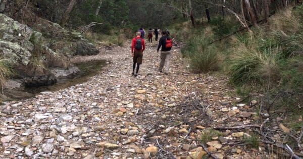
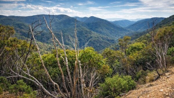
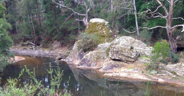
The contrast across the park is considerable. In the south, the Lerderderg River has cut deeply through sandstone and slate to create the steep-sided Lerderderg Gorge, a rugged landscape of rocky slopes, long spurs and enclosed valleys. Further north, much of the country formerly within Wombat State Forest is higher, wetter and more gently undulating, with broader ridges, ferny gullies, creeks and tall eucalypt forests around the Great Dividing Range. These differences in elevation, rainfall, geology and soils produce noticeable changes in the forest as you move through the park.
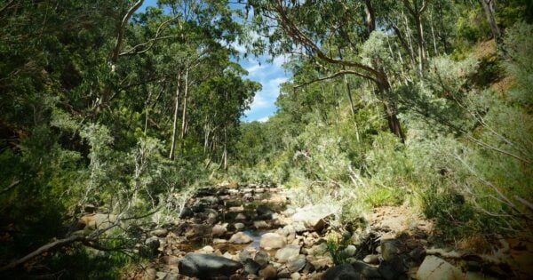
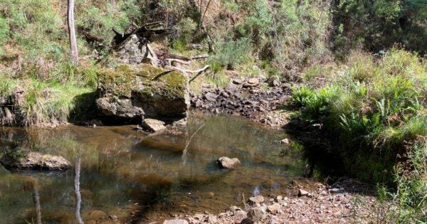
Water is one of the threads connecting these landscapes. The forested highlands form part of an important watershed, with streams draining both north towards the Murray basin and south towards Port Phillip. The Lerderderg River rises in the ranges near Blackwood before flowing south through the national park and eventually joining the Werribee River. A 63-kilometre section of the Lerderderg is protected as a Heritage River, recognised for its natural, scenic, recreational and cultural values. The protected corridor extends from the upper catchment through the gorge towards the Werribee Valley.
Despite its proximity to Melbourne, parts of Wombat-Lerderderg National Park can feel surprisingly remote. The gorge in particular contains steep, broken terrain where travel can be slow and the surrounding ridges quickly obscure roads, towns and other signs of settlement. In the northern forests the terrain is generally less severe, but the extensive network of forest roads, tracks, creeks and densely vegetated gullies creates a very different kind of bush landscape.
Highlights
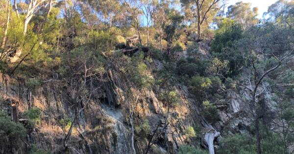
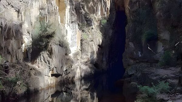
Lerderderg Gorge is the most dramatic landform in the park. The river has cut a gorge up to around 300 metres deep through ancient sedimentary rocks, producing steep forested walls, rocky riverbeds and narrow valleys. O’Briens Crossing and Mackenzies Flat provide some of the better-known access points, but many of the longer walking routes climb onto the surrounding ridges or follow old tracks and water races deeper into the ranges.
The character changes as the park extends north towards Blackwood, Trentham and the higher Wombat country. Here the landscape becomes one of rolling forested uplands cut by creeks and gullies. Much of this country was formerly managed as Wombat State Forest and has a long history of timber harvesting, mining and other forest uses. Messmate and peppermint forests become more prominent, and wetter gullies support vegetation quite different from the drier woodland around the southern gorge.
That transition is one of the most interesting things about Wombat-Lerderderg National Park. It is not a uniform landscape. A walk in the rocky southern ranges can feel completely different from one through the cooler northern forest, even though both now sit within the same national park. Dry ridges, deeply cut rivers, tall regrowth forest, ferny drainage lines, old mining country and working forest history all occur within a relatively compact part of central Victoria.
There are also extensive traces of earlier human use. Old water races contour along hillsides, mining tunnels disappear into slopes and abandoned diggings remain beside creeks and gullies. Elsewhere, former timber tramways, forest roads and mill sites record more than a century of forestry. In some places these old routes now provide access for walkers, making the human history of the landscape particularly visible from the trail.
Walking in Wombat-Lerderderg National Park
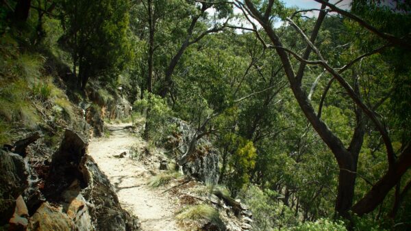
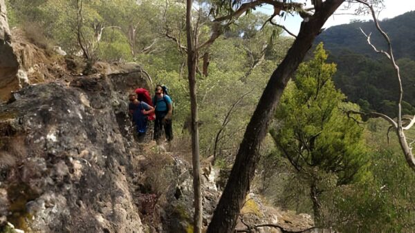
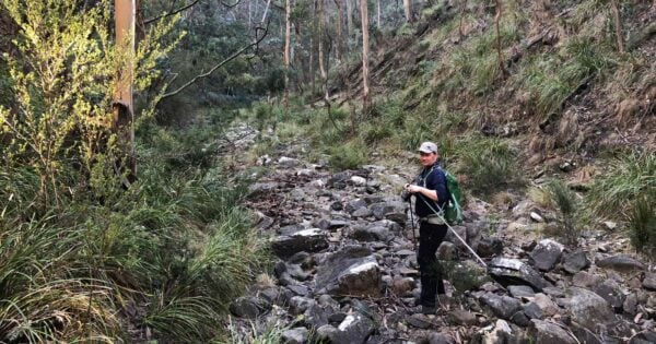
Walking conditions vary enormously across the park. The Lerderderg Gorge contains some of the most demanding bushwalking terrain close to Melbourne, with steep climbs, loose and rocky surfaces, river travel and tracks that can be rough or difficult to follow. Routes climbing between the river and surrounding ridges can involve substantial elevation gain over relatively short distances. Parks Victoria describes some walks beyond the main visitor areas as suitable for experienced and well-prepared hikers.
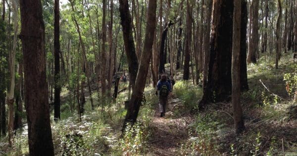
The former Wombat State Forest sections generally offer a different experience. Many walks use combinations of forest roads, old vehicle tracks, historic tramway alignments and narrower bush tracks through rolling upland terrain. Although gradients can be gentler than those in the gorge, distances can still be substantial and the forest road network can make navigation less obvious than the terrain initially suggests.
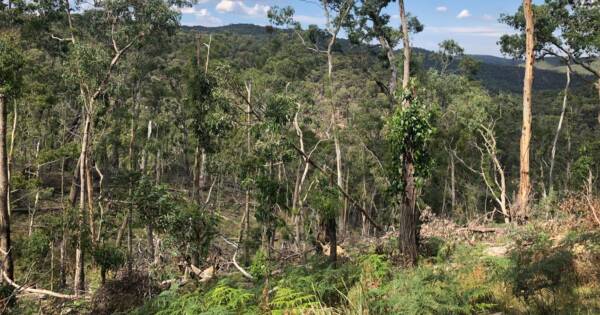
Conditions can also change quickly after heavy rain, storms or fire management works. River levels may make crossings or riverside sections difficult, while fallen trees can affect tracks throughout the forest. The severe storms that struck central Victoria in 2021 caused extensive windthrow in parts of the Wombat Forest, and their effects remain visible in some areas.
Best Time to Visit
Autumn through spring generally provides the most comfortable walking conditions across Wombat-Lerderderg National Park. Cooler temperatures are particularly welcome on the longer routes through Lerderderg Gorge, where steep climbs and exposed slopes can make warm weather considerably more demanding.
Late winter and spring bring wildflowers to the drier forests around Lerderderg, including wattles, peas, heaths and orchids. Parks Victoria identifies September and early October as a particularly good period for displays in the former Lerderderg State Park.
The wetter northern forests have their own seasonal character. Winter can bring cold, damp and muddy conditions, particularly along shaded tracks and creeklines, while spring produces greener gullies and active waterways. After periods of sustained rain, some tracks can become waterlogged or difficult to negotiate.
Summer requires more care. Temperatures in the gorge can become very high, shade can be limited on exposed ridges and reliable drinking water should never be assumed. Bushfire risk is also an important consideration throughout the park. Check current weather, fire danger, park conditions and closures before setting out, particularly during the warmer months.
Plants and Animals
The size and north to south extent of Wombat-Lerderderg National Park protect an unusually broad range of forest types for an area this close to Melbourne. Differences in rainfall, elevation, geology and previous land use have produced a patchwork rather than a single continuous forest community.
Around the Lerderderg Gorge and the drier southern ranges, Red Stringybark and other dry forest species occur across rocky ridges and slopes, with Box and Ironbark communities in parts of the landscape. More than 320 native plant species were recorded within the former Lerderderg State Park, and late winter and spring can bring particularly diverse wildflower displays.
Further north, the former Wombat State Forest contains more productive forests dominated in many areas by Messmate Stringybark, Narrow-leaved Peppermint, Broad-leaved Peppermint and Manna Gum. Wetter gullies, creek corridors and changes in elevation create further local variation. Much of this forest has been harvested at different times since the nineteenth century, so extensive areas consist of regrowth interspersed with older trees.
Those older trees are particularly important because hollows provide habitat for forest wildlife. The Wombat forests support threatened species including the Southern Greater Glider, Brush-tailed Phascogale and Powerful Owl. Research following the destructive 2021 storms found a substantial decline in Greater Glider abundance across surveyed areas of Wombat State Forest, demonstrating the importance of retaining mature and hollow-bearing trees as the forest recovers.
Across the park, walkers may also encounter wallabies, kangaroos, koalas and a wide range of forest birds. Raptors including Wedge-tailed Eagles and Peregrine Falcons occur within the broader landscape, while river corridors, gullies and mature forests provide habitat for species that are less conspicuous during a daytime walk.
Culture and Heritage
Wombat-Lerderderg National Park lies within the Countries of the Dja Dja Wurrung, Wadawurrung and Wurundjeri Woi Wurrung peoples. Waterways and ranges form important parts of the cultural geography of this country, and Traditional Owner connections to these forests extend far beyond the relatively recent history of parks, forestry and mining. The Victorian Government has worked with the three Registered Aboriginal Parties in considering future management of the Wombat forest landscape.
European settlement brought profound change. Gold discoveries around Blackwood in the 1850s led to an intense period of mining, and the upper Lerderderg catchment became part of the wider Victorian gold rush. Blackwood grew rapidly, and mining spread through surrounding gullies and ranges. Water races were cut across steep hillsides to supply workings, tunnels were driven into hills, creeks were altered and large areas were excavated. Many of those features remain visible today, and some walking tracks follow routes originally constructed for mining rather than recreation.
Forestry became another major influence, particularly across the Wombat country. Timber harvesting occurred through much of the former Wombat State Forest from the nineteenth century into the twenty-first, with tramways and later forest roads used to move timber from the ranges. Historical sites include former tramway alignments, mill locations and other remnants of an industry that helped shape both the forest and nearby communities.
The forest visible today therefore carries several overlapping histories. It is living Country, an important conservation landscape, a former mining district, a heavily worked forest in many northern areas and a place that generations of people have used for walking, camping and other forms of recreation. The creation of Wombat-Lerderderg National Park brought the former Lerderderg State Park and substantial parts of Wombat State Forest together under one national park classification, while those earlier histories remain visible throughout the landscape.
A Varied Central Victorian Landscape
What distinguishes Wombat-Lerderderg National Park is not one single feature but the range of landscapes contained within it. The Lerderderg Gorge provides the drama, with its deeply cut river valley, exposed ridges and demanding walking terrain. The Wombat country adds extensive upland forests, creeks, wetter gullies and a landscape shaped by generations of forestry and mining.
Together they form a large connected area of protected bushland extending from the outskirts of Bacchus Marsh towards the Daylesford district. For walkers, that creates an unusually broad range of experiences within one park, from short riverside walks and historic tracks to long ridge circuits, remote gorge routes and full days exploring the quieter northern forests.
Find more places to explore…
Help expand the trail collection!
Know of an official trail not listed on Trail Hiking Australia? I’m focused on showcasing the best tracks managed by land managers, and I’d love your help! Sharing a trail adds to our community and helps others discover safe, new adventures.
Submit your trail here

