Hike at a glance
Length
Duration
Difficulty
Trail type
Trail details
Max elevation: 695m
Min elevation: 466m
Total Ascent: 641m
Check current conditions
Track conditions, access and closures can change quickly due to weather, fire, maintenance or safety concerns. Always check the relevant land manager’s website and conditions before you visit. Trail Hiking Australia does not provide real-time track and closure monitoring, and land managers remain the authoritative source for current alerts, closures and access restrictions.
About this trail
Important information
Route in detail
Walk features
Trail difficulty

Grade 4 (Hard)
For experienced bushwalkers
Grade 4 walks may be long, rough or very steep, and directional signage may be limited. Bushwalking experience is recommended, along with the ability to be self-reliant and manage navigation, weather and emergencies. Walks may exceed 20km.
Good to know: Not every Grade 4 characteristic will apply to every walk, so check the route description for the specific challenges of this hike.
Map and GPX file
Preparation and safety
Trail tips
Plan and prepare
Australian conditions can turn a small oversight into a serious situation faster than most walkers expect. For a day hike, that means the right gear, weather-appropriate layers, enough food and water, and allowing time to finish in daylight. The day hike planning guide walks you through it.
The Hiking Safety Systems and planning calculators help you understand and close the gaps before you leave home. The Interactive Safety Scenarios show how small gaps turn into real incidents. If you’re new to planning hikes, start with the hike preparation guide.
Download the free hiking preparation and safety checklists before leaving home to help you think through your plans. They help ensure important considerations are not overlooked and support safer decision-making on the trail.
Let someone know
Before you go, complete a trip intentions form and share it with a trusted contact. Agree on a Late-Back Time and ask them to call 000 (Police) if you have not checked in. A clear trip plan is one of the simplest and most effective safety steps you can take, and it only takes two minutes.
Heading somewhere remote, off-track or overnight? Use the comprehensive trip intentions form instead, as your emergency contact will need more detail. Register your trip plan here →
Getting there and where to stay
Directions
Access conditions
Accommodation nearby
Search accommodation in nearby towns: Bacchus Marsh, Ballan, Blackwood, Daylesford, Gisborne, Macedon, Trentham, Woodend
Find somewhere to stay near the trailhead. Click the button below to open an interactive map automatically centred on this hike's location.
Travel arrangements
Whether you are travelling from across Australia or exploring closer to home, these options can help you organise your journey to the trail and make the most of your visit.
Find flights →
Compare car hire →
Get travel insurance →
Discover experiences →
Photo gallery
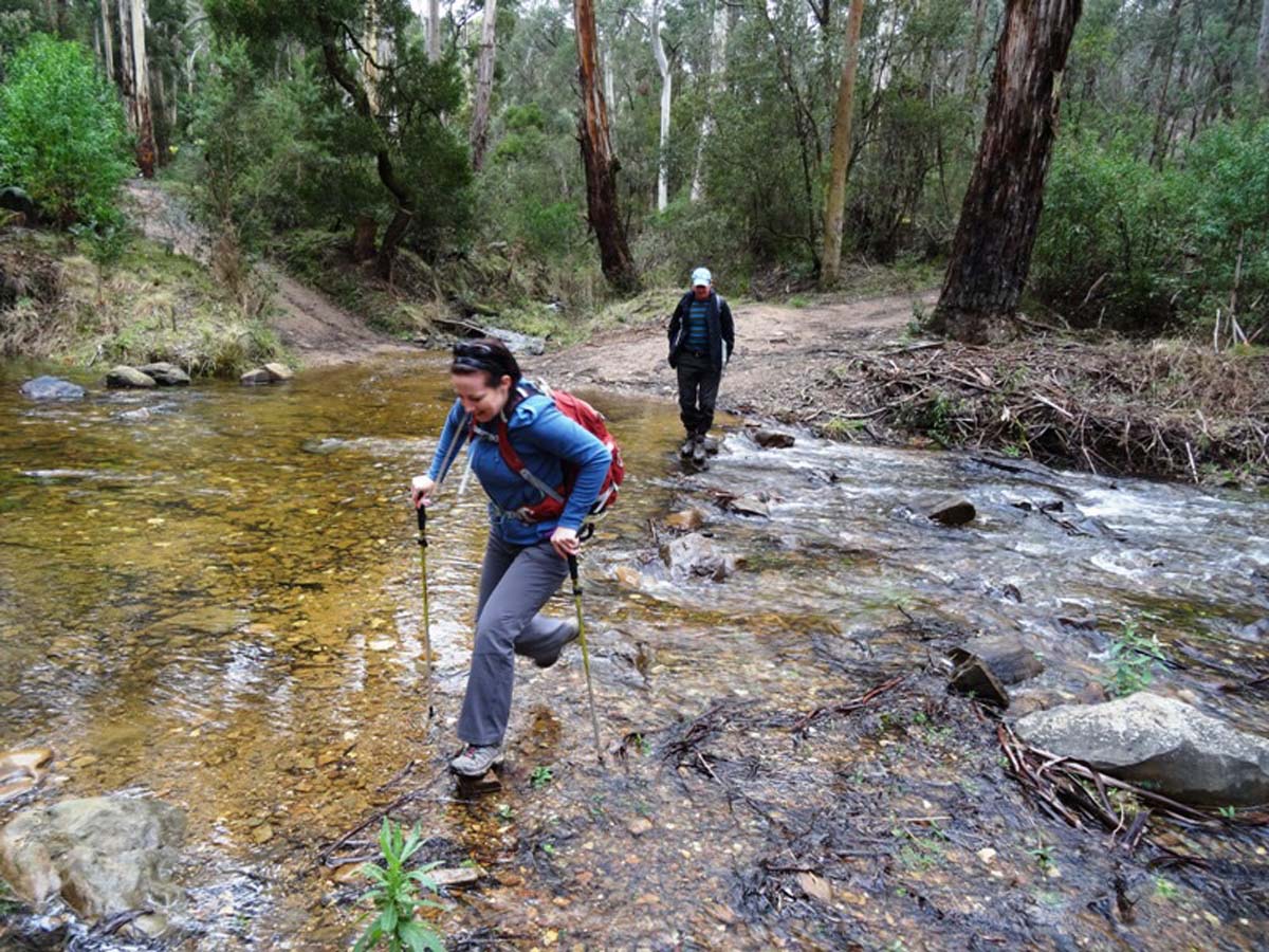
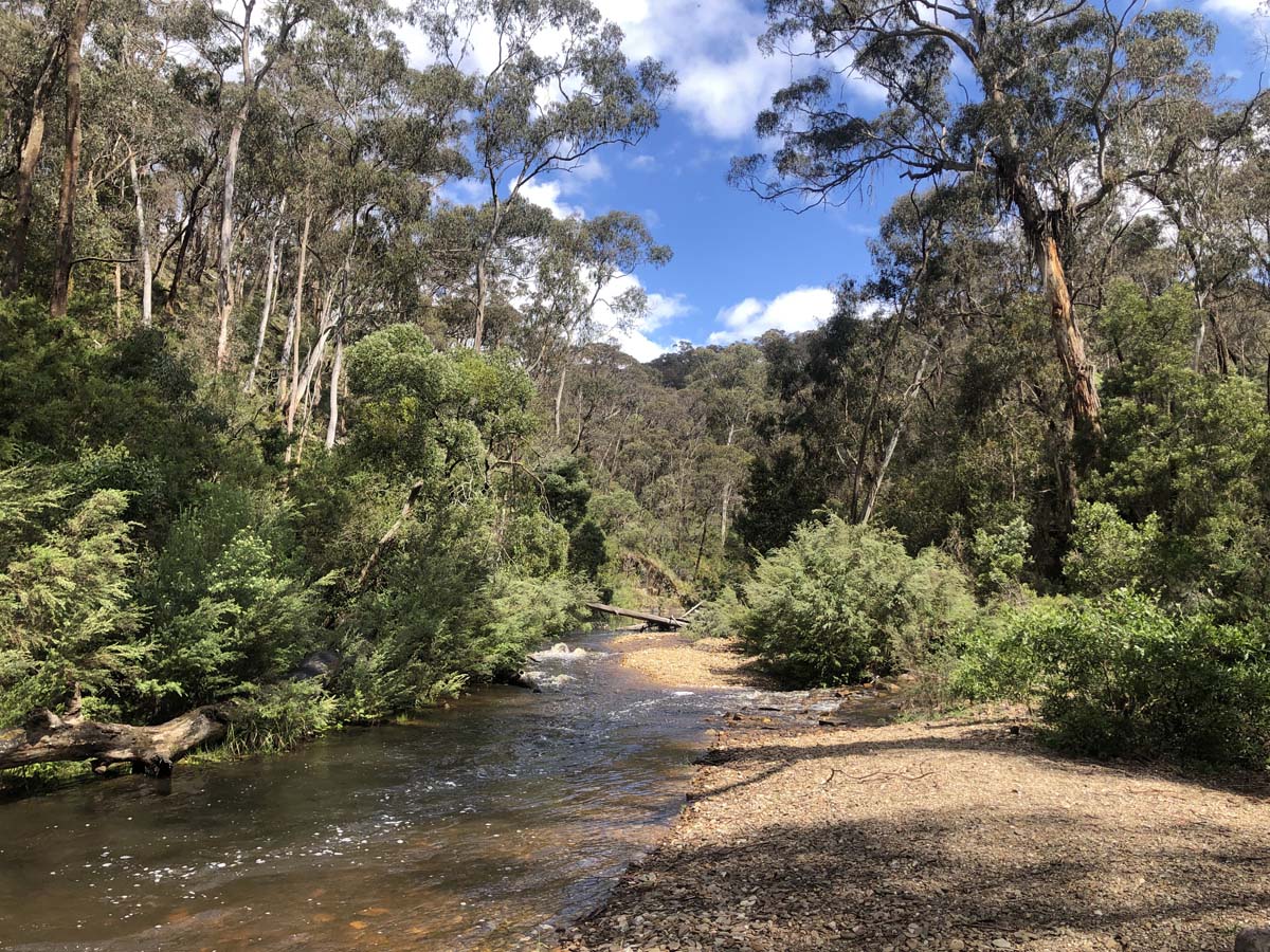
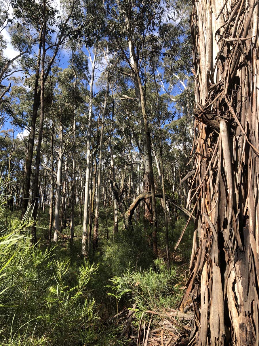
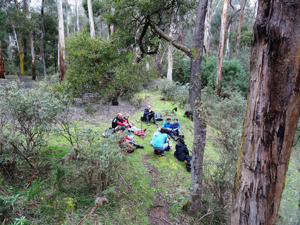
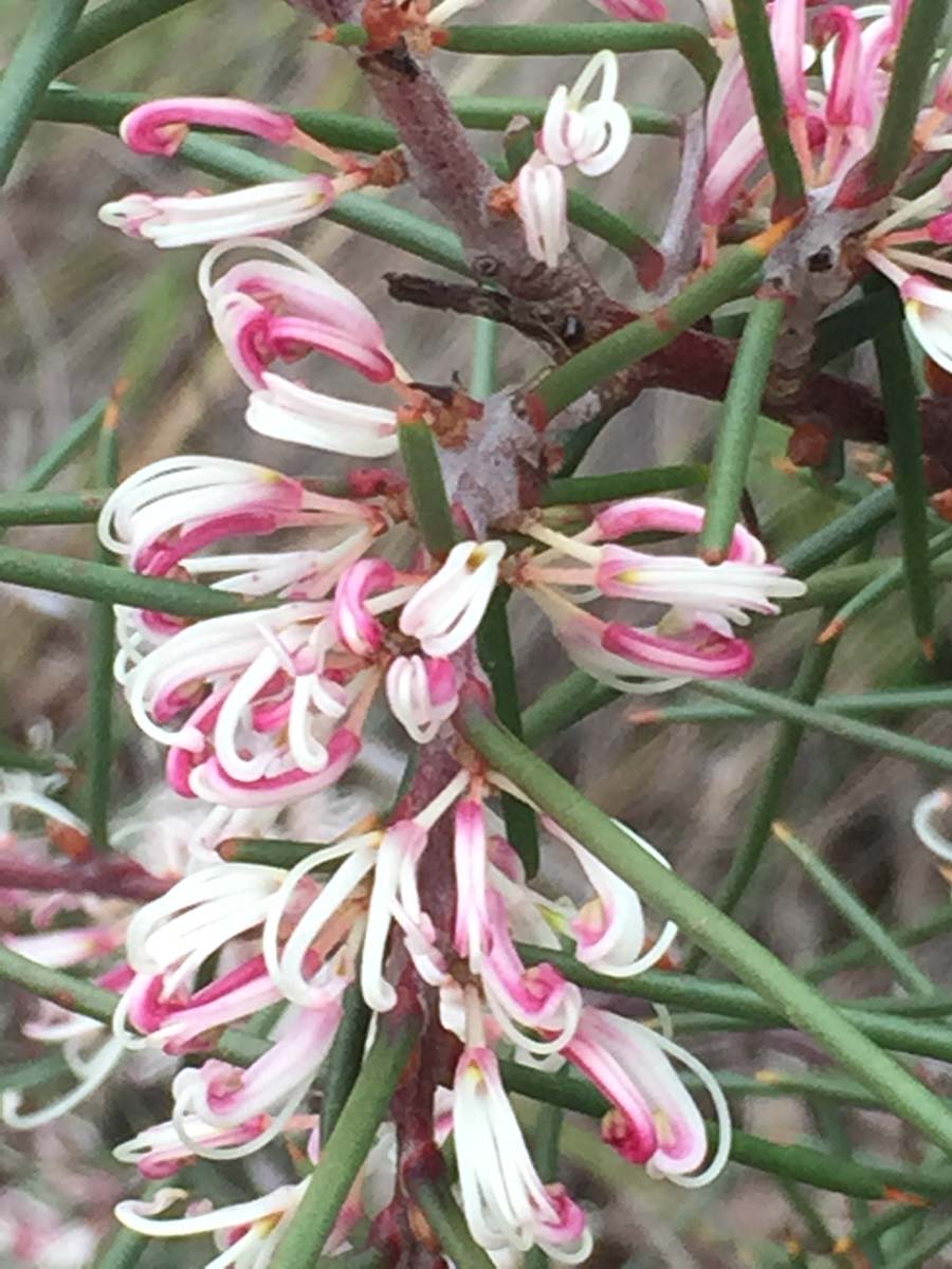
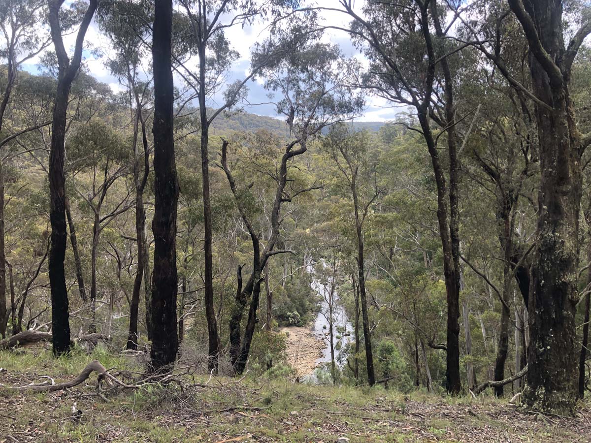
Do you have any photos from this hike?
Your photos can help others plan. Share shots from along the trail so fellow hikers know what to expect.
Explore the region
About the region
Discover activities
More hikes nearby


Explore hikes by town
Weather on the trail
The map shows the rain forecast for the trail area. Use the toggle in the top right corner to switch layers, including wind, temperature, UV index, thunderstorms, fire danger and weather warnings. Windy is a forecast model, not an official warning service. Check the Bureau of Meteorology for current warnings before you go.
Trail reviews
Notice something different about this trail?
Whether it’s a new feature, a route change, or permanent closure, share your update so we can keep our info accurate and helpful for fellow hikers.
Acknowledgement of Country

Trail Hiking Australia acknowledges the Traditional Owners of the lands on which we hike and pay respects to their Elders, past and present, and we acknowledge the First Nations people of other communities who may be here today.



8 Reviews on “Ruths Gully Circuit Hike (17km)”
The GPX track has a different start/finish to the description which might confuse some.
Also, it took us less than 5h, with breaks. Probably 4h walk time.
This is an excellent hike with some steep climbs and descents. It should be noted that a 4WD vehicle is required to access this trail. My mate and i did this hike in pouring rain and it was very enjoyable and challenging but getting back out with the vehicle was just was challenging and required some winching.