Green Island walking track is a 3km, grade 4 hike located in Hat Head National Park, New South Wales. The hike should take around 1.25 hours to complete.
Hike overview
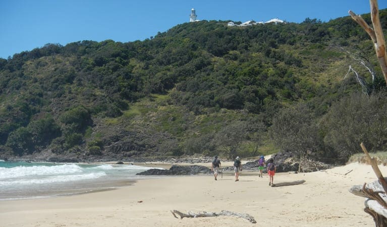
An energising, medium level walk to delight both birdwatchers and wildflower enthusiasts. Green Island walking track leads through woodland and heath to a lookout with brilliant views to Smoky Cape Lighthouse in the northern section of Hat Head National Park.
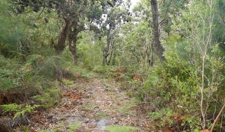
The track leads through groves of paperbarks and grass trees. At the junction with Smoky Cape walking track, turn east, as the path meanders through heathlands dominated by banksias. In spring, the surrounding shrubland erupts with dazzling colour, with exceptional displays of flannel flowers and paper daisies.
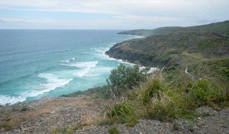
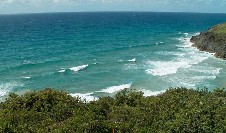
Reaching the lookout, gaze across to Green Island, just 100 metres from the coast. Here, you're most likely to see shore birds such as egrets, spoonbills and pied oystercatchers. Make the most of the fabulous location and enjoy a leisurely picnic, relishing the sweeping coastal views and fresh coastal breezes, before retracing your steps.
Route and GPX file
Help fellow hikers navigate with confidence. Share your GPX or KML file for this trail and help build a more comprehensive resource with precise waypoints and elevation profiles. Your contribution will empower adventurers with details they need for a safer and more enjoyable experience. I meticulously verify every file using official maps and surveys, ensuring the highest level of accuracy and reliability. Submit your file now and become a trailblazer for your fellow outdoor enthusiasts.
Trail location
Sorry, no records were found. Please adjust your search criteria and try again.
Sorry, unable to load the Maps API.
Getting there
To South Gap carpark. Green Island walking track is in the Smoky Cape precinct of Hat Head National Park. To get there:Take Gap Beach Road off Arakoon Road and follow the signs to South Gap carpark Park entry points South Gap carpark See on map Parking Parking is available at South Gap carpark.
Visit NSW National Parks and Wildlife Service for more information on this trail.
The longitude and latitude of the start and end points are approximately only and should not be used for navigation purposes. Please contact me if you know the correct coordinates.
Gallery
If you have any photos from this hike and are happy to share them, please upload your .jpg files here.
Please note: Uploading photos does not transfer ownership of copyright away from you. If requested, you will be credited for any photos you provide and can ask they be deleted at any time.
About the region
Hat Head National Park on the mid-north coast of NSW near South West Rocks is a natural paradise. Explore the lighthouse, camp by the beach and go fishing and swimming. Hat Head is a national park in New South Wales, Australia, 461.7 kilometres via M1 and Pacific Highway/A1, northeast of Sydney. It lies within the Hastings-Macleay Important Bird Area.
Similar trails nearby
Explore Safe
While planning your hike, it’s important to check official government sources for updated information, temporary closures and trail access requirements. Before hitting the trail, check local weather and bushfire advice for planned burns and bushfire warnings and let someone know before you go. Plan ahead and hike safely.
Let someone know
Adventure with peace of mind: Fill out your trip intentions form. Before you hit the trail, fill out an online form to privately send important details about your hike to your family or friends. If you don’t return on time, they can easily alert emergency services, preventing worry and ensuring a swift response. Hike with peace of mind and enjoy your outdoor adventure to the fullest. Be smart, be safe: Register your plans here.
Gear to consider

My free planning, food and packing checklists provide an introduction to things your could consider (as well as the Ten Essentials) on your day, overnight and multi-day adventures. Customise your kit according to your personal needs, always considering safety first.
Suggest an edit
Does this hikes information need updating? Sometimes the route, trail features or access conditions change.
Acknowledgement of Country
Trail Hiking Australia acknowledges the Traditional Owners of the lands on which we hike and pay respects to their Elders, past and present, and we acknowledge the First Nations people of other communities who may be here today.


