From alpine country to mallee plains and a long southern coast
Highlights
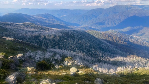
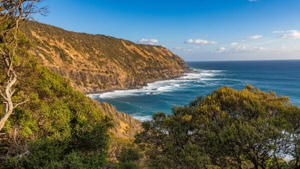
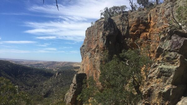
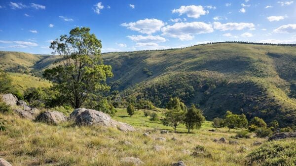
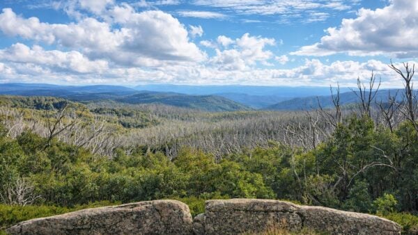
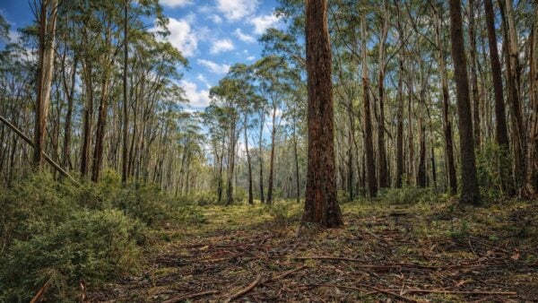
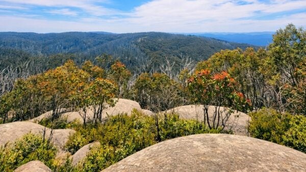
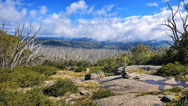
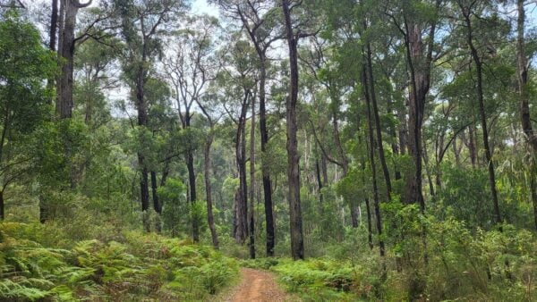
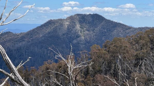
Victoria packs a remarkable amount of landscape variation into a relatively compact state. Its protected areas extend from the Australian Alps and forested uplands of the east to dry mallee country in the north-west, volcanic and sedimentary landscapes across the centre and west, broad river systems, wetlands and a long, exposed coastline. Parks Victoria describes the state as having an unusually diverse collection of landscapes and ecosystems for its size.
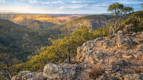
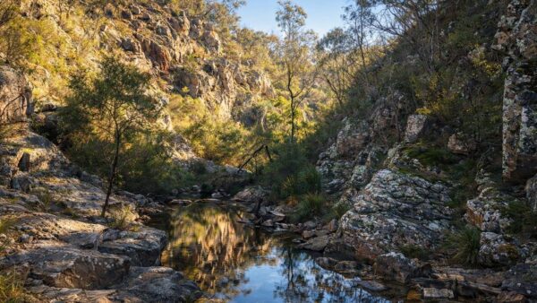
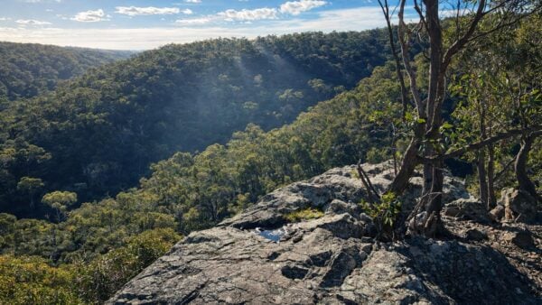
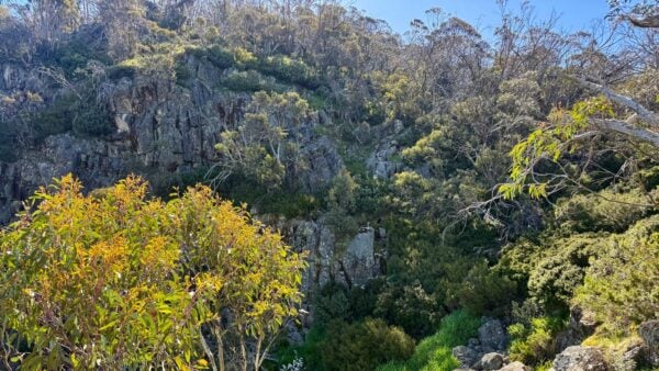
The contrast is particularly striking across Victoria’s bioregions. The Central Victorian Uplands are shaped by dissected hills, granitic and sedimentary terrain and volcanic rocks, while the Northern Inland Slopes combine foothills and ranges with river valleys draining towards the Murray. In the south-west, tablelands, coastal plains, dunes, lagoons and limestone-influenced country create a very different setting again. These changes in geology, elevation, soils and climate are a large part of why walking environments can feel so different from one part of Victoria to another.
Landscape and ecology
Victoria is divided into 28 terrestrial bioregions and five marine bioregions, reflecting major differences in geology, climate, landform and ecological processes. Across these regions are forests, woodlands, grasslands, heathlands, wetlands, inland waters and coastal environments. Victoria’s park network also extends offshore through marine national parks and sanctuaries protecting habitats such as rocky reefs, seagrass meadows, kelp forests and ocean beaches.
Parks Victoria manages more than four million hectares of public land and water. Within that estate are national and state parks, metropolitan and regional parks, marine protected areas and thousands of conservation reserves and natural features. The network supports more than 4,300 native plant species and hundreds of native animal species, while also providing important refuge for threatened flora and fauna.
The landscapes visible today are the product of a long geological history. The Geological Survey of Victoria traces the state’s geological evolution across roughly 500 million years, with ancient sedimentary and metamorphic rocks, granitic intrusions, volcanic activity and much younger coastal and river deposits all contributing to the landforms found across Victoria.
Culture and heritage
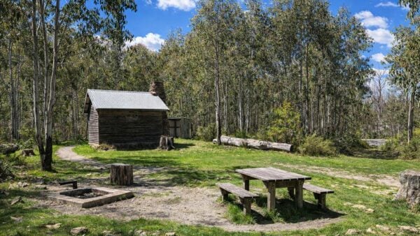
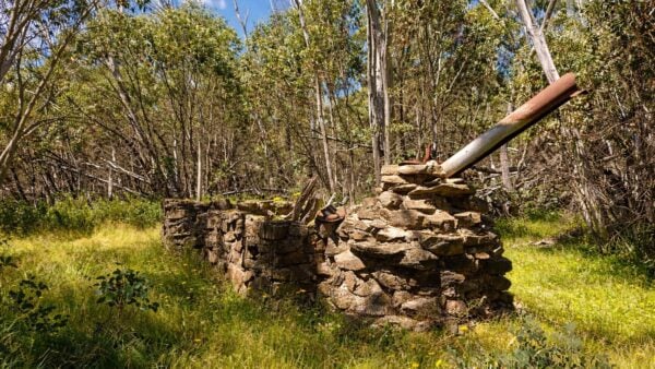
Victoria’s parks and reserves contain extensive evidence of the state’s more recent settlement, industry and land use. Historical places include former mining areas, pastoral and farming sites, townships, sawmills, coastal industries, transport routes and other remains that show how communities developed across the state. Heritage Victoria records thousands of historical archaeological places, with many more sites known or likely to remain unrecorded.
Gold mining left one of the clearest marks on the Victorian landscape. The major rush began in 1851 and rapidly transformed places such as Ballarat, Bendigo and Castlemaine as people arrived from around the world. Mining spread across much of the state, leaving shafts, workings, water races, machinery sites, settlements and altered waterways throughout parts of central, western and north-eastern Victoria. The Victorian Goldfields were added to Australia’s World Heritage Tentative List in 2025, recognising the exceptional survival and extent of this gold-rush landscape.
Conservation
Victoria’s protected-area network is intended to conserve representative examples of the state’s varied ecosystems, from alpine environments and tall forests to grasslands, wetlands, mallee and marine habitats. Ecological Vegetation Classes are used across Victoria to describe vegetation according to its species composition, structure and relationship with environmental conditions, providing a framework for understanding how native vegetation varies between bioregions.
Conservation management increasingly considers parks as parts of larger connected landscapes rather than isolated reserves. They can provide refuges for native species, protect areas of relatively intact vegetation and help ecosystems remain resilient as environmental conditions change. Parks Victoria’s management programs include ecological research and monitoring intended to improve understanding of how species and ecosystems function and respond to threats.