Gorges, Waterfalls and Dry Rainforest on the Edge of the Tablelands
Overview
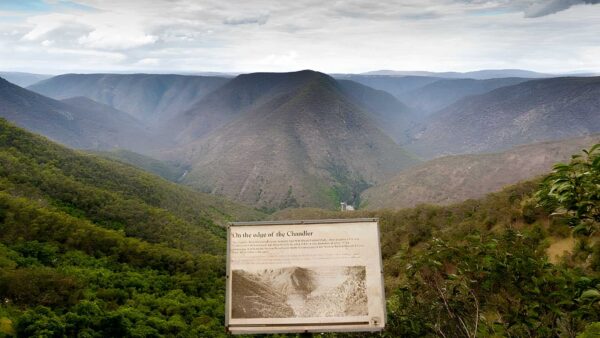
Oxley Wild Rivers National Park sits on the eastern edge of the Northern Tablelands, not far from Armidale and about 350km north of Sydney. It protects a huge sweep of the upper Macleay catchment, where the tablelands suddenly break into deep river valleys, sheer gorge walls and long escarpment views. Much of the park is made up of rugged country cut by the Apsley, Macleay, Chandler and other river systems, giving it a very different feel from the gentler landscapes further west.
This is also a place of major conservation value. Large parts of the park are protected as declared wilderness, and most of it sits within the Gondwana Rainforests of Australia World Heritage Area. The park’s dry rainforest communities are especially important, along with the mix of eucalypt forest, woodland, heath and river country spread across a sharply varied landscape.
Highlights
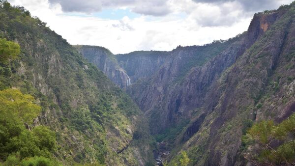
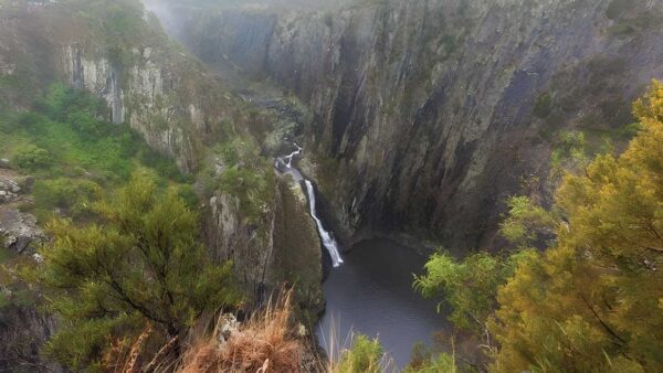
The defining character of Oxley Wild Rivers is its gorge country. The Apsley Macleay system is one of Australia’s largest gorge systems, with rivers dropping away from the tablelands into a maze of steep-sided valleys, cliff lines and rocky escarpment edges. Waterfalls are another big part of the park’s identity, from the famous major falls on the tableland edge to smaller drops and cascades deeper in the valleys.
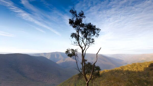
What makes the scenery memorable is the contrast. Around the rim, the country can feel open and elevated, then the land falls away abruptly into densely folded terrain with river flats, forested slopes and dark, sheltered gullies. That constant shift in scale is what gives the park its strong sense of drama.
Best Time to Visit
Spring and autumn are usually the most comfortable times to spend time in the park, when the tablelands are milder and the views are often at their clearest. After decent rain, the waterfalls and rivers are generally at their most impressive, which can make the escarpment look particularly alive.
Summer brings greener country and stronger water flow at times, but it can also be hot in the lower gorge country. Winter suits people who enjoy crisp air and long-distance views, especially around the higher tableland sections near Armidale.
Plants and Animals
Oxley Wild Rivers is known for some of the best examples of dry rainforest in Australia, a key reason it was included in the World Heritage Area. These communities sit alongside wet and dry eucalypt forest, grassy woodland and heath, creating a patchwork of habitats across the escarpment, gorges and tableland margins.
That variety supports rich wildlife, with more than 350 animal species recorded in the park. It is particularly important for the endangered brush-tailed rock-wallaby, and the birdlife is strong too, with more than 173 species recorded, including wedge-tailed eagles, peregrine falcons, square-tailed kites and sea eagles.
Culture and Heritage
Oxley Wild Rivers National Park has strong Aboriginal cultural connections tied to the Macleay River valley and the tablelands above it. Official park management material identifies the planning area as lying primarily within the area of the Dunghutti people, while also noting that the tablelands above the river valleys were occupied by the Anaiwan group. Aboriginal sites recorded here include artefact scatters, and the landscape also holds places with traditional and contemporary cultural value.
The park also carries a layered European history. John Oxley passed near what is now the park in 1818, and in the decades that followed the gorges and river country were entered by cedar-getters, graziers and miners. Historic places within the broader park landscape include Kunderang East homestead and the remains of Australia’s first commercial hydro-electric scheme.