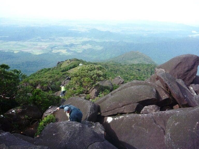
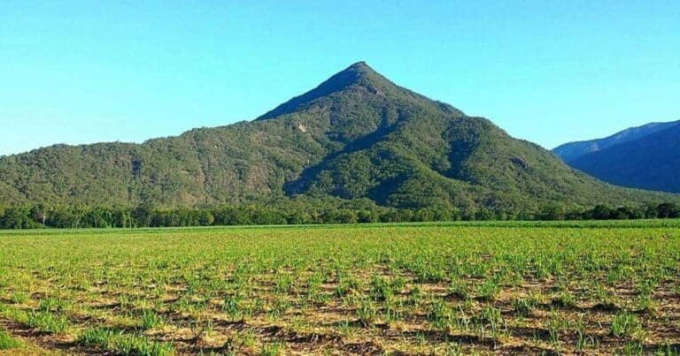
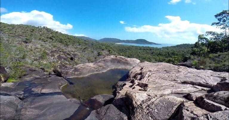
Misty Mountains - Koolmoon Creek Track is a 35.5km, grade 5 hike located in Atherton Tablelands, Queensland. The hike should take around 2 days to complete.
Hike overview
Discover the beauty of high-altitude rainforest on Koolmoon Creek Track, one of the four Misty Mountains Wilderness Walking Trails. Misty Mountains is a 130 kilometre network of short and long wilderness tracks through pristine Wet Tropics rainforest where you can enjoy crystal clear creeks, waterfalls and panoramic views as you explore the World Heritage area.
Route and GPX file
Help fellow hikers navigate with confidence. Share your GPX or KML file for this trail and help build a more comprehensive resource with precise waypoints and elevation profiles. Your contribution will empower adventurers with details they need for a safer and more enjoyable experience. I meticulously verify every file using official maps and surveys, ensuring the highest level of accuracy and reliability. Submit your file now and become a trailblazer for your fellow outdoor enthusiasts.
Trail location
Sorry, no records were found. Please adjust your search criteria and try again.
Sorry, unable to load the Maps API.
Gallery
If you have any photos from this hike and are happy to share them, please upload your .jpg files here.
Please note: Uploading photos does not transfer ownership of copyright away from you. If requested, you will be credited for any photos you provide and can ask they be deleted at any time.
About the region
The Atherton Tableland is a fertile plateau which is part of the Great Dividing Range in Queensland, Australia. It is located west to south-south-west inland from Cairns. Although it is in the tropical latitudes, its elevated position provides a climate suitable for dairy farming. It has an area of around 32,000 km2 with an altitude ranging between 500 and 1,280 m (1,640 and 4,200 ft). The fertility of the soils in the region can be attributed to the volcanic origins of the land.
The principal river flowing across the plateau is the Barron River. It was dammed to form an irrigation reservoir named Lake Tinaroo. Tinaroo Hydro, a small 1.6MW Hydroelectric power station is located near the spillway.
For more information on this hiking trail, please visit Queensland.com
Similar trails nearby
Explore Safe
While planning your hike, it’s important to check official government sources for updated information, temporary closures and trail access requirements. Before hitting the trail, check local weather and bushfire advice for planned burns and bushfire warnings and let someone know before you go. Plan ahead and hike safely.
Let someone know
Adventure with peace of mind: Fill out your trip intentions form. Before you hit the trail, fill out an online form to privately send important details about your hike to your family or friends. If you don’t return on time, they can easily alert emergency services, preventing worry and ensuring a swift response. Hike with peace of mind and enjoy your outdoor adventure to the fullest. Be smart, be safe: Register your plans here.
Gear to consider

My free planning, food and packing checklists provide an introduction to things your could consider (as well as the Ten Essentials) on your day, overnight and multi-day adventures. Customise your kit according to your personal needs, always considering safety first.
Suggest an edit
Does this hikes information need updating? Sometimes the route, trail features or access conditions change.
Acknowledgement of Country
Trail Hiking Australia acknowledges the Traditional Owners of the lands on which we hike and pay respects to their Elders, past and present, and we acknowledge the First Nations people of other communities who may be here today.


