Sorry, no records were found. Please adjust your search criteria and try again.
Sorry, unable to load the Maps API.
Explore stunning hiking trails of Atherton Tablelands
Discover the diverse trails of Atherton Tablelands, Queensland, offering hikes and walks for all skill levels and interests. Find your perfect adventure today.
Discover 3 hiking trails in Atherton Tablelands


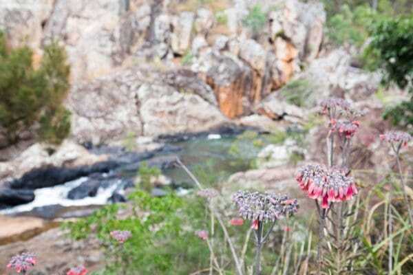


Volcanic Lakes, Rainforest Patches and Open Country on the Atherton Tablelands
Overview
The Atherton Tablelands sit inland from Cairns in Tropical North Queensland, with much of the upland country spread across a broad plateau around 600 to 900 metres above sea level. Across the tablelands, protected areas include volcanic crater lakes, upland rainforest, wetlands, dry forest and open woodland, so the character of the region shifts quickly from one part of the landscape to the next.
Rather than being one single national park, the hiking country of the Atherton Tablelands is a network of parks and forests scattered across the region. Some protect small but distinctive pockets of habitat, while others cover larger stretches of escarpment, lake country and World Heritage rainforest.
Highlights
What makes the Atherton Tablelands stand out is the mix of volcanic landforms and elevated forest. In the east, Crater Lakes National Park is centred on two volcanic maar lakes, Lake Eacham and Lake Barrine. Further south, Mount Hypipamee is built around a dramatic volcanic pipe with sheer rock walls and a deep water-filled crater below the rim. Around Danbulla, the landscape broadens into forested country beside Lake Tinaroo, with rainforest pockets, older woodland and crater features such as Lake Euramoo and Mobo Creek Crater.
Scenically, this is also a place of contrast. Some parts are enclosed by dense upland rainforest, while others open out to basalt tableland, wetland margins or long views across the plateau. Small protected remnants such as Curtain Fig preserve the tablelands’ distinctive mabi forest, giving the region a very different feel from the continuous lowland rainforest closer to the coast.
Best Time to Visit
The tablelands are higher and generally cooler than the coast, which makes walking more comfortable through much of the year. The drier months from about June to September are usually the easiest time for clear views and milder conditions, while the wetter summer months bring greener forest, fuller creeks and a heavier, more humid feel across the plateau.
Because the Atherton Tablelands cover a broad upland region with both wetter and drier pockets, conditions can vary noticeably between rainforest tracks, lake country and more open western country at the same time of year.
Plants and Animals
The range of habitats is one of the region’s strengths. Protected areas on the tablelands support rainforest communities, eucalypt and acacia forest, wetlands and the endangered mabi forest that grows on fertile basalt soils. Mabi forest is especially distinctive for its semi-deciduous canopy and dense shrub layer, a structure that sets it apart from the wetter rainforests elsewhere in the Wet Tropics.
Wildlife changes with the habitat. Upland rainforest around places such as Mount Hypipamee is known for possums and high-altitude birds, while the mabi forest around Curtain Fig supports nocturnal mammals, reptiles and canopy species including Lumholtz’s tree-kangaroo. Wetland areas on the tablelands add another layer again, especially for waterbirds and other birdlife.
Culture and Heritage
The Atherton Tablelands hold deep Aboriginal connections, but those connections are not described in one simple way across the whole region. In the protected areas around the tablelands, official material for specific parks identifies Traditional Owner connections in different places, including Tablelands Yidinji at Lake Barrine and Aboriginal Traditional Owners at Curtain Fig. That layered cultural landscape is part of what gives the region its depth.
The tablelands also carry a strong record of twentieth-century settlement, forestry and farming, particularly in places such as Danbulla where former rural landscapes still shape the feel of the country today.
Find more places to explore…
Help expand the trail collection!
Know of an official trail not listed on Trail Hiking Australia? I’m focused on showcasing the best tracks managed by land managers, and I’d love your help! Sharing a trail adds to our community and helps others discover safe, new adventures.
Submit your trail here

