Ikara-Flinders Ranges National Park sits in the rugged outback of South Australia, an ancient landscape of mountain ranges, gorges and geological formations that stretch back hundreds of millions of years. It’s a park that rewards people who want to hike, but it also carries enough cultural and natural history to make a slower visit worthwhile.
The Heart of the Flinders Ranges
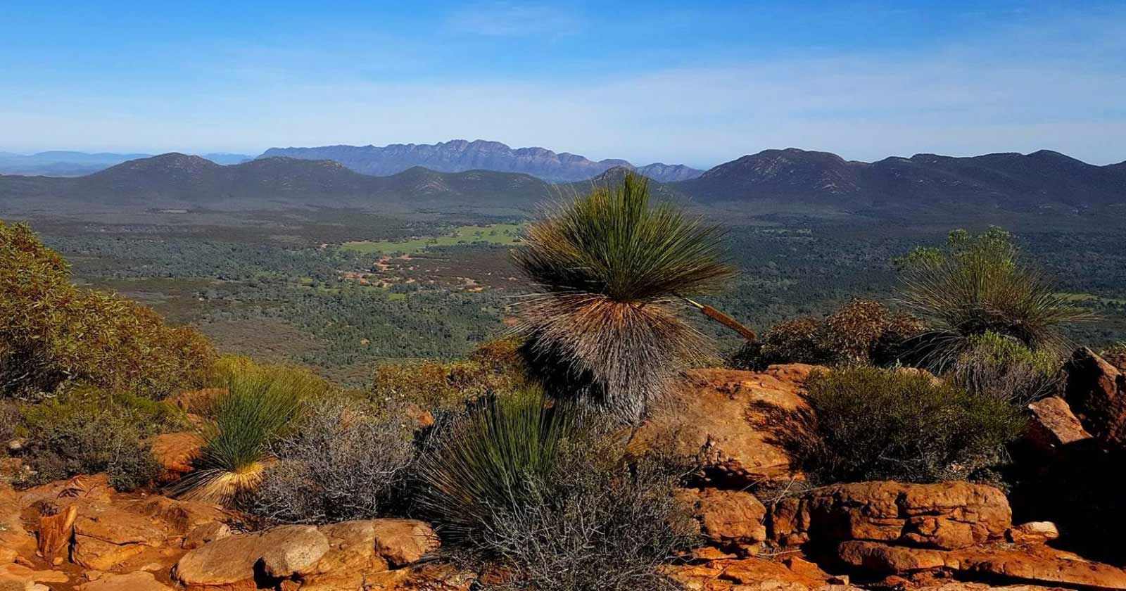
Ikara-Flinders Ranges National Park forms part of the Flinders Ranges, one of Australia’s most rugged landscapes. Located approximately 450 kilometres north of Adelaide, the park covers 95,000 hectares of mountain ranges, deep gorges, and ancient geological formations. Its centrepiece is Wilpena Pound, a vast natural amphitheatre surrounded by towering peaks, which anchors most of the park’s hiking, wildlife watching, and photography.
Natural Wonders and Scenic Views
The land here tells its own story. From the jagged peaks of the Heysen Range to the ancient rock formations in Brachina and Bunyeroo Gorges, the geological history spans millions of years, and the fossil-rich landscape offers a genuine glimpse into Earth’s past.
Wilpena Pound itself, the vast bowl-shaped valley ringed by mountains, is built from rock laid down over 800 million years ago. The bowl shape you see today wasn’t there from the start, though. It was folded into its distinctive form roughly 500 million years ago, during a period of mountain-building that pushed and buckled those older sediment layers. That combination of ancient rock reshaped by a much later geological event is part of what makes the Pound significant, on top of a cultural history that spans both Aboriginal and European settlement.
A Rich Cultural Heritage
Traditional Owners: The Adnyamathanha People
The Adnyamathanha people, whose name means ‘hills’ or ‘rock people,’ are the traditional custodians of the land within Ikara-Flinders Ranges National Park. Their connection to this region goes back thousands of years, and it’s still visible today in the rock art, engravings, and sacred sites scattered through the park.
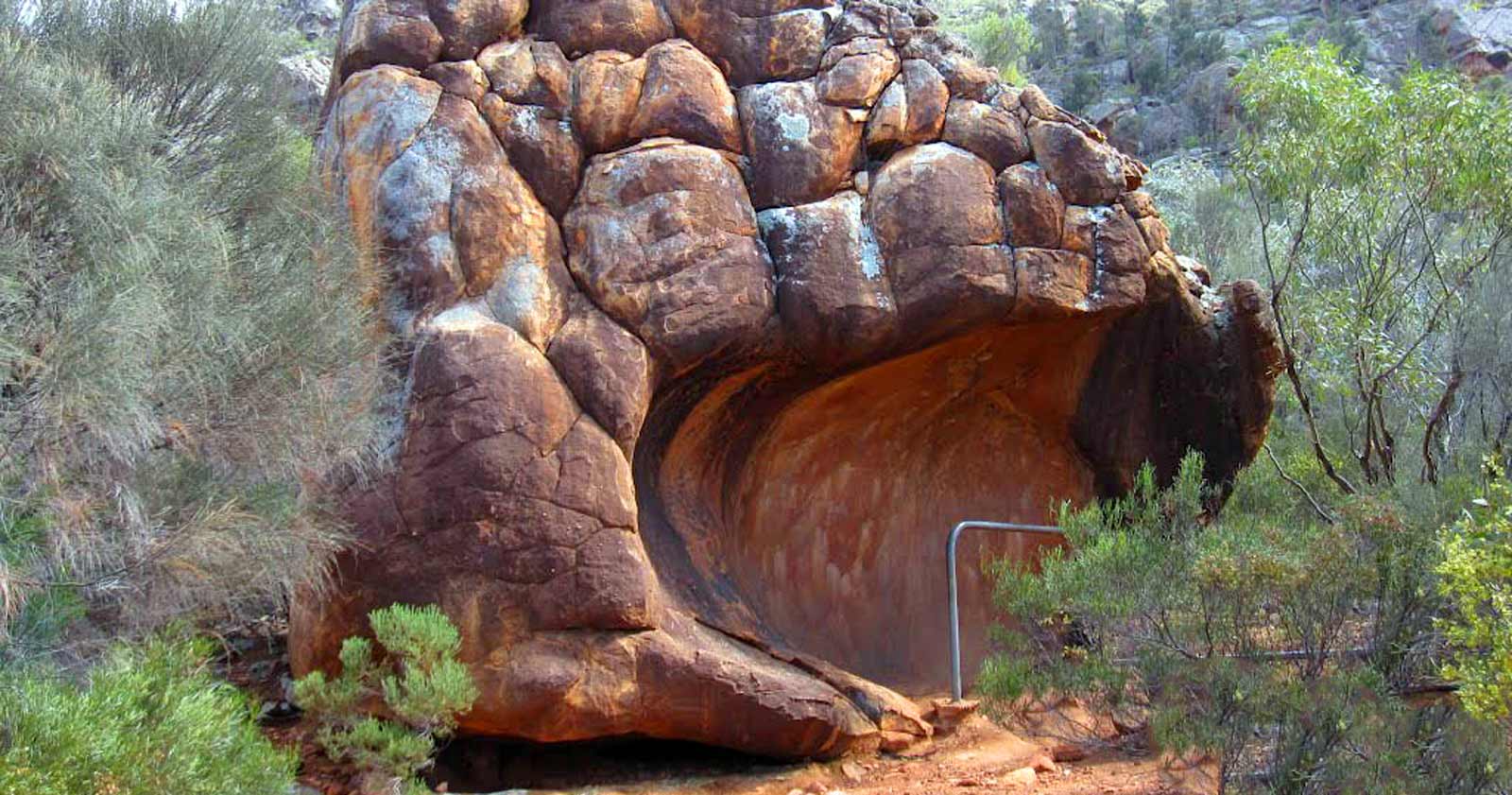
Arkaroo Rock and Sacred Canyon are two of the key sites, home to ancient rock paintings and engravings that depict creation stories and the Adnyamathanha people’s spiritual connection to the land. Visiting them is a chance to reflect on the depth of this area’s history and the relationship between the land and its original custodians that continues today.
European History and Early Settlers
European settlers began arriving in the Flinders Ranges in the 1840s, establishing sheep stations and settlements in the region. That arrival was met with resistance from the Adnyamathanha people, and conflicts over resources such as water and land followed. Despite this difficult history, Aboriginal stockmen and housekeepers later became integral to pastoral life in the region.
Many Adnyamathanha people still live and work in nearby communities today, and their cultural heritage remains a defining part of the Flinders Ranges’ identity. Rock art, burial sites, and stone arrangements across the park stand as reminders of that history.
Hiking in Ikara-Flinders Ranges National Park
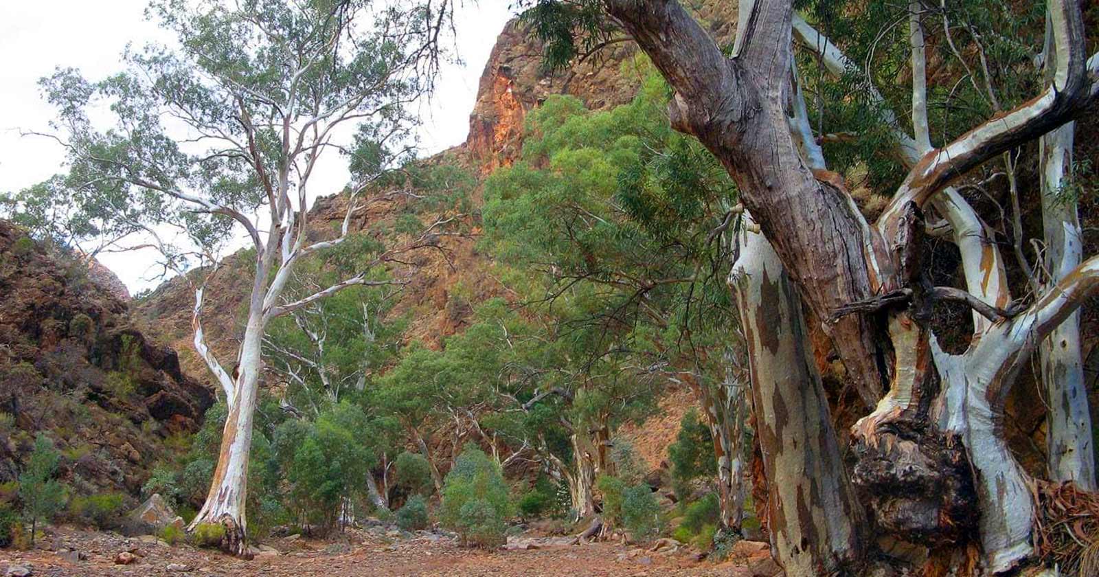
Whether you’re after a short walk or a challenging multi-day trek, the park has trails to suit a range of fitness levels and interests. Each one gives you a different angle on the landscape and a reasonable chance of spotting wildlife, including kangaroos, emus, and a range of bird species.
Trezona Circuit Hike
The Trezona Circuit is a good place to start if you want a genuine taste of the ranges without committing to a full day. This 8.2 km Grade 3 trail runs through the heart of the park, with views of the Heysen Range and a fair chance of spotting kangaroos and emus along the way. It passes Camp Hut and the Trezona geological formation, where the exposed rock gives you a sense of how old this landscape actually is. The moderate grading makes it a solid choice for families, or for anyone after a half-day walk rather than a full commitment. Explore the Trezona Circuit Hike.
Arkaroo Rock Circuit Walk
If you’d rather spend your time on cultural history than distance, the Arkaroo Rock Circuit Walk is a better fit. It’s a 3.1 km loop that takes around 1.5 hours and leads past ancient rock paintings depicting the Adnyamathanha creation story. The paintings show up best in early morning light, which makes it worth timing your walk for if you’re a photographer or an early riser. The Chace Range provides the backdrop, which adds to what is already an easy, low-effort walk. Discover the Arkaroo Rock Circuit Walk.
Mount Ohlssen Bagge Hike
For more of a challenge, the Mount Ohlssen Bagge Trail climbs to one of the highest points in the park. It’s a 6.8 km Grade 4 hike, and the rocky ascent is genuinely tough going, but it opens up panoramic views over Wilpena Pound and the surrounding valleys from the summit. Keep an eye out for local reptiles on the way up. Explore the Mount Ohlssen Bagge Hike.
Bunyeroo & Wilcolo Creeks Circuit Hike
If steep climbs aren’t what you’re after, the Bunyeroo & Wilcolo Creeks Circuit is an easier alternative at 9.2 km through Bunyeroo Valley. The terrain is gentle enough for families, and you still get scenic views of the valley, the creek, and the surrounding peaks, just without the effort the Ohlssen Bagge climb demands. Discover the Bunyeroo & Wilcolo Creeks Circuit Hike.
St Mary Peak Circuit Hike – Wilpena Pound
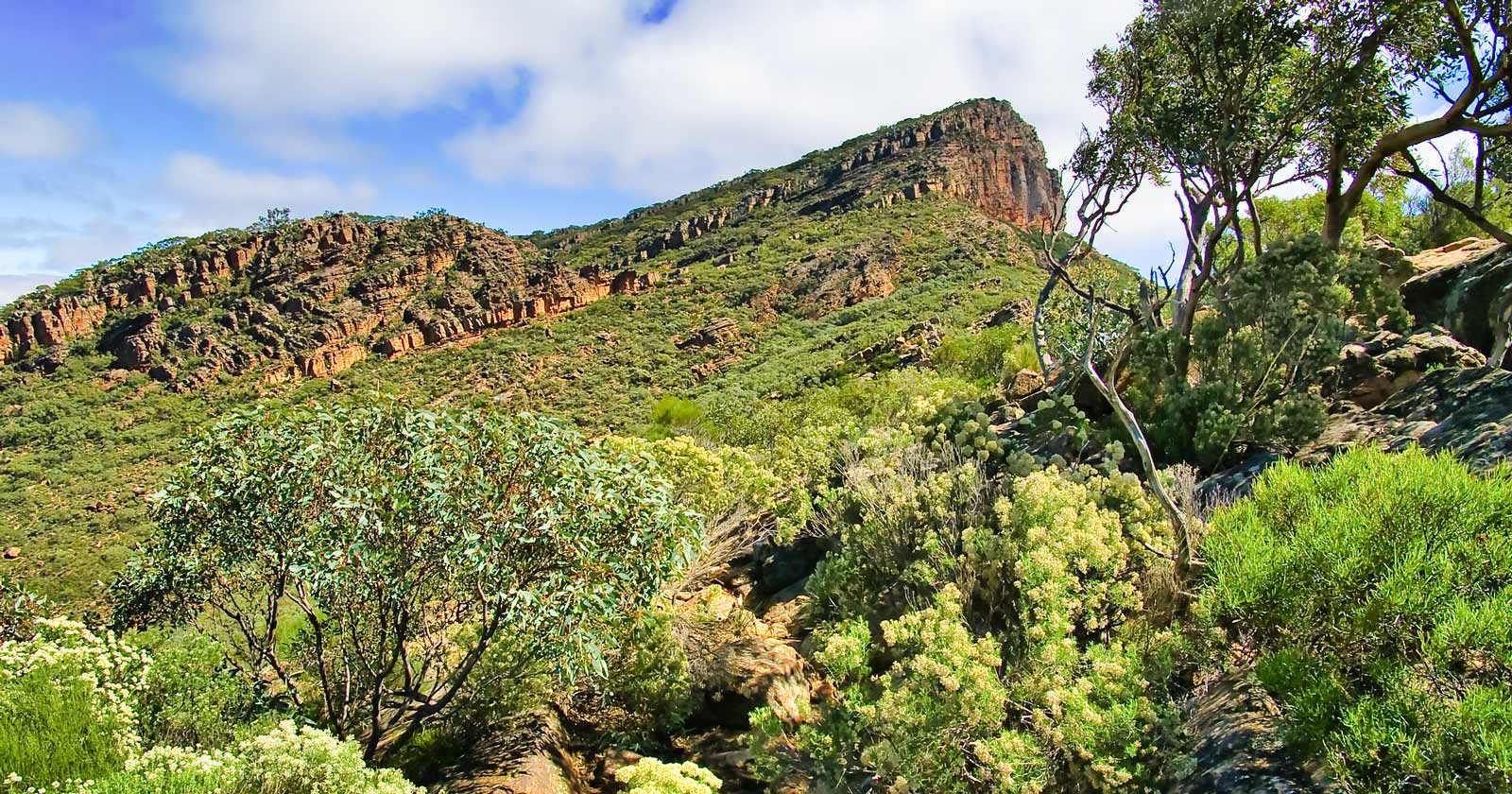
St Mary Peak (1,171m) is the highest peak in the Flinders Ranges, though not the highest point in South Australia overall. That title belongs to Mount Woodroffe, out in the state’s far north-west, at 1,435m. Still, the climb to St Mary Peak’s summit is the toughest hiking challenge the park offers, a strenuous 21 km hike with sweeping views over the Flinders Ranges and the surrounding salt plains. If the full summit is more than you want to take on, the Tanderra Saddle hike gets you similar views for less effort. Either way, this is a hike for experienced, well-prepared hikers rather than a casual outing. Explore the St Mary Peak Circuit Hike.
Wangara Lookout Hike
The Wangara Lookout Hike sits somewhere in the middle: a 7 km walk through Wilpena Pound that climbs past the historic Hills Homestead to two lookout points with panoramic views over the surrounding landscape. Wildlife sightings are common along the way, which makes it a solid choice if you want a proper day out without the demands of the St Mary Peak climb. Discover the Wangara Lookout Hike.
Explore more hikes and walks in Ikara-Flinders Ranges National Park here.

Facilities and Accommodation
Ikara-Flinders Ranges National Park has a good range of facilities for visitors, including picnic areas, campgrounds, toilets, and showers. The Wilpena Pound Resort, located within the park, adds a visitor information centre, fuel, an ATM, internet access, and a swimming pool.
If you’d rather camp, there are numerous camping sites within the park for a closer connection to nature. The Wilpena Pound Resort also offers powered sites and permanent tents if you want something more comfortable.
Directions to Ikara-Flinders Ranges National Park
Getting to Ikara-Flinders Ranges National Park is straightforward. It’s located about 450 kilometres north of Adelaide, and it’s easily reached by car. From Adelaide, take one of several routes to Hawker, then follow the signs to Wilpena Pound.
If you’re travelling from Leigh Creek, head south to Parachilna and enter the park from either the north or the west. Alternatively, you can approach from Broken Hill by turning north at Yunta and following the signs to Blinman.
The main road into the park is sealed, though unsealed roads with changing surfaces may require extra care. The park is accessible to two-wheel drive vehicles, caravans, and trailers, but it’s important to drive slowly and responsibly, especially on unsealed roads.
Best Times to Experience Ikara-Flinders Ranges
The best time to visit Ikara-Flinders Ranges National Park is between April and October, when milder temperatures make hiking and cycling far more comfortable. Summer here is genuinely hot, with temperatures often reaching between 30ºC to 45ºC, so it’s worth planning your visit around the cooler months if you can.
Ikara-Flinders Ranges National Park combines serious hiking terrain with a depth of cultural and geological history that’s hard to find in one place. Whether you’re drawn to the harder trails, the rock art at Arkaroo Rock and Sacred Canyon, or simply the scale of Wilpena Pound itself, it’s one of the more complete outback experiences South Australia has to offer.