Hike Feasibility Planner
Can I realistically complete this hike?
Feasibility Assessment
Main considerations
How this was calculated
| Factor | Value | Risk level | Points |
|---|---|---|---|
| Total score | — | ||
Score: 0–3 = Comfortable | 4–7 = Manageable | 8–12 = Marginal | 13+ = Not Recommended
This planner is a guide only. It does not account for injury, weather deterioration, river crossings, route closures or emergency delays. Always carry navigation equipment, tell someone your plan, and turn back if conditions change.
Hike Feasibility Planner
Why feasibility matters before you start
Most hikers assess a planned walk by distance alone. But distance is only one input. A 20 km hike in cool conditions on a clear track is a very different challenge from the same distance in 35°C heat over rough terrain with a heavy pack and limited daylight. When those factors stack against each other, even moderately, the pressure on multiple safety systems builds quickly. The Hike Feasibility Planner exists to surface that pressure before you leave, not after things have gone wrong.
What the planner assesses
The tool runs three calculations simultaneously. First, it estimates your total hiking time using your distance, total ascent, terrain difficulty, pace, pack weight, and navigation complexity, with a conservative break allowance built in. Second, it calculates your water requirement for the full outing at your selected temperature, adjusted for terrain and pack. Third, it compares your estimated outing time against your available daylight to determine your daylight margin. These three outputs feed into a feasibility score across six factors: daylight margin, water demand, temperature, terrain, pack weight, and navigation. The total score determines your rating, Comfortable, Manageable, Marginal, or Not Recommended.
How to read your result
The feasibility rating is a summary, not a verdict. What matters more is which factors are driving the score. The planner displays your main considerations in order of impact, showing you where system strain is most likely to develop. A Marginal rating driven by a narrow daylight margin is a different problem from one driven by high water demand in extreme heat, and the response to each is different. The score breakdown table shows exactly how each factor contributed, so you can adjust your inputs and explore what would make the plan more viable.
Connecting to the broader Safety Systems Framework
The Hike Feasibility Planner sits at the intersection of four safety systems from the Hiking Safety Systems Framework: Navigation & Positioning (route complexity and time), Hydration & Fuel (water demand under conditions), Environmental Protection (temperature exposure), and Load Carrying & Mobility (pack weight and terrain effort). These systems don’t operate independently. A tight daylight margin increases time pressure, which increases pace, which increases water consumption and fatigue. The planner reflects that interdependence by scoring them together rather than in isolation.
A starting point, not a guarantee
The planner is a decision-support tool, not a substitute for field judgement. It doesn’t account for unexpected weather, route closures, river crossings, injury, or the condition of individual walkers in your group. What it provides is a structured, consistent starting point, a way of asking the right questions before you commit to a plan. If the result is Marginal or Not Recommended, that’s not a reason to abandon the idea. It’s a prompt to look more carefully at which factors are creating the pressure, and whether adjustments to timing, conditions, or route can bring them into a safer range.
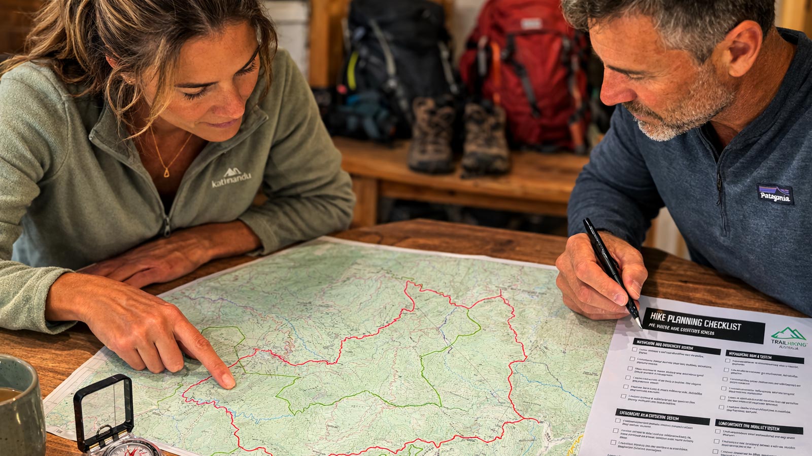
Plan Your Hike in Six Steps
The tools below help you assess whether a hike is achievable, understand terrain difficulty, estimate walking time, plan hydration, identify key risks, and determine what equipment to carry before heading out.
Explore more planning tools
Hiking Calculators collection →
