Australian Walking Track Grade Calculator
Estimate the AWTGS grade for any walk
Estimated Track Grade
This grade was triggered by
Factor breakdown
| Factor | Your input | Grade contribution |
|---|
Estimated grade only. This is an AWTGS-aligned estimate. Official grades are assigned by land managers.
Track grade describes the walk's physical characteristics. It does not describe weather, remoteness, river conditions, heat, exposure, or overall risk.
Australian Walking Track Grade Calculator
What the Australian Walking Track Grading System measures
The Australian Walking Track Grading System (AWTGS) is a nationally recognised framework used by land managers, parks agencies, and walking clubs to classify the physical difficulty of walking tracks. Grades run from 1 to 5, with Grade 1 representing flat, well-formed paths accessible to most users, through to Grade 5 which requires very experienced bushwalkers with navigation and emergency skills. The system is designed to describe the characteristics of the track itself, not the fitness of the person walking it, or broader factors like heat, remoteness, or weather.
How the grade is determined
The AWTGS uses a highest-factor-wins approach: the overall grade is set by whichever single characteristic is most demanding. The five characteristics assessed are distance, gradient, track quality, signage quality, and the presence of steps. If any one of those factors falls into Grade 4 territory – such as a rough track with many obstacles, or minimal signage – the walk is Grade 4 regardless of how the other factors score. This calculator implements that logic directly, scoring each characteristic individually and returning the highest result as the estimated grade. It also shows the full factor breakdown so you can see exactly what is driving the result.
Steps and the Grade 4 and 5 distinction
One specific AWTGS rule is worth understanding: steps only influence grades up to Grade 3. At Grade 4 and above, steps are no longer a determining factor. The calculator applies this correctly – if the primary factors (distance, gradient, track quality, and markings) already produce a Grade 4 or 5 result, the steps input is noted in the breakdown but does not change the final grade. The tool also flags borderline results where a single characteristic sits close to the next grade boundary, prompting a closer review of the inputs.
Track grade and the broader safety picture
Track grade describes the physical characteristics of a walk under normal conditions. It is a useful planning reference, but it does not capture the full safety picture. A Grade 3 walk in January heat presents very different demands from the same walk in June.
Within the Hiking Safety Systems Framework, track characteristics directly influence the Navigation and Positioning system (signage and route complexity), the Load Carrying and Mobility system (gradient and terrain underfoot), and the Hydration and Fuel system (effort level and duration).
Grade is the starting point for planning, not the complete assessment.
Using the result
The grade estimate produced by this tool is AWTGS-aligned but not an official designation, official grades are assigned by the relevant land manager. Use the result to cross-check hike descriptions, set walker expectations, inform gear and fitness recommendations, and understand which characteristics are making a walk more demanding. If the result shows a borderline grade, review the factor breakdown carefully. A walk sitting at the top of Grade 3 on gradient while also showing limited signage may behave more like Grade 4 in practice, particularly for less experienced groups.
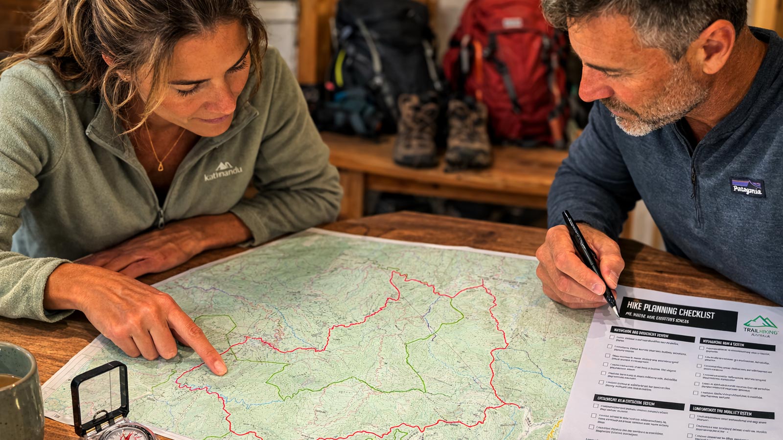
Plan Your Hike in Six Steps
The tools below help you assess whether a hike is achievable, understand terrain difficulty, estimate walking time, plan hydration, identify key risks, and determine what equipment to carry before heading out.
Explore more planning tools
Hiking Calculators collection →
