Hiking Risk Profile Calculator
What are the main risks on this hike?
Answer 12 quick questions about your planned hike. The calculator assesses risk exposure across the 8 Hiking Safety Systems and identifies where your planning attention is most needed.
This tool assesses the hike and its context — not your personal ability.
Hiking Risk Profile
Risk across the 8 Safety Systems
Safety System Breakdown
Main risk drivers
Suggested planning actions
Important: This tool estimates the risk profile of the hike and expected conditions. It does not assess your personal ability and should be used as a planning aid, not a guarantee of safety. Always tell someone your trip plan and carry appropriate emergency equipment.
Hiking Risk Profile Calculator
A different kind of risk assessment
Most hikers think about risk in terms of individual hazards: a steep section, a river crossing, a hot day. These matter, but they do not capture the full picture. Risk on a hike accumulates across multiple systems simultaneously, and the combination often creates more pressure than any single factor would suggest on its own. A long route with limited water availability and no mobile reception in hot conditions does not carry three separate risks. It carries compounded pressure across the Hydration and Fuel, Communication and Rescue, and Environmental Protection systems at the same time. The Hiking Risk Profile Calculator is designed to make that compounding visible before the hike starts.
How the calculator works
The tool asks 12 questions across three groups: route characteristics, conditions, and remoteness and support. Each answer contributes risk points to one or more of the eight Hiking Safety Systems. Those points are normalised against each system’s maximum possible score and expressed as a percentage, which maps to a band: Low, Moderate, High, or Very High. The overall risk profile is then derived from the spread of system scores, with adjustments applied when multiple systems are in a High or Very High band simultaneously, and additional weight given to spikes in the Communication and Rescue, Environmental Protection, and Navigation systems. These three systems are treated as priority systems because failure in any one of them can escalate quickly regardless of how other systems are performing.
What the results show
The results panel displays the overall risk profile (Low, Moderate, Elevated, or High), a radar chart showing all 8 systems at once, a breakdown of each system’s individual band and description, the top risk drivers from your answers, and suggested planning actions for any system scoring 50% or above. The radar chart makes the shape of the risk visible: a flat profile where all systems score similarly is a different planning situation from a spiked profile where two or three systems are very high while others are low. The tool also surfaces the systems requiring most attention so you can direct preparation where it matters.
What this tool does and does not assess
The Risk Profile Calculator assesses the hike and its conditions. It does not assess your personal fitness, experience, or group composition. Two hikers with identical plans will receive the same result. This is intentional: the tool is designed to describe the risk landscape of the route, not to make a judgement about the person walking it. How that risk landscape maps to your capability is a separate, personal assessment. A High risk profile for a very experienced group may be manageable. The same profile for a novice group may warrant a different decision. The tool gives you a structured view of the former so you can apply your own judgement to the latter.
Using the result as part of your planning
The risk profile is a starting point, not a verdict. Use it to identify which systems need active preparation before you leave. If Communication and Rescue is Very High, that is a prompt to confirm your trip intentions, check PLB registration, and identify emergency exit options. If Hydration and Fuel is High, that is a prompt to revisit your water carry and confirm source availability. The planning actions provided for each elevated system give you concrete steps to reduce exposure. Working through them is the point of the exercise.
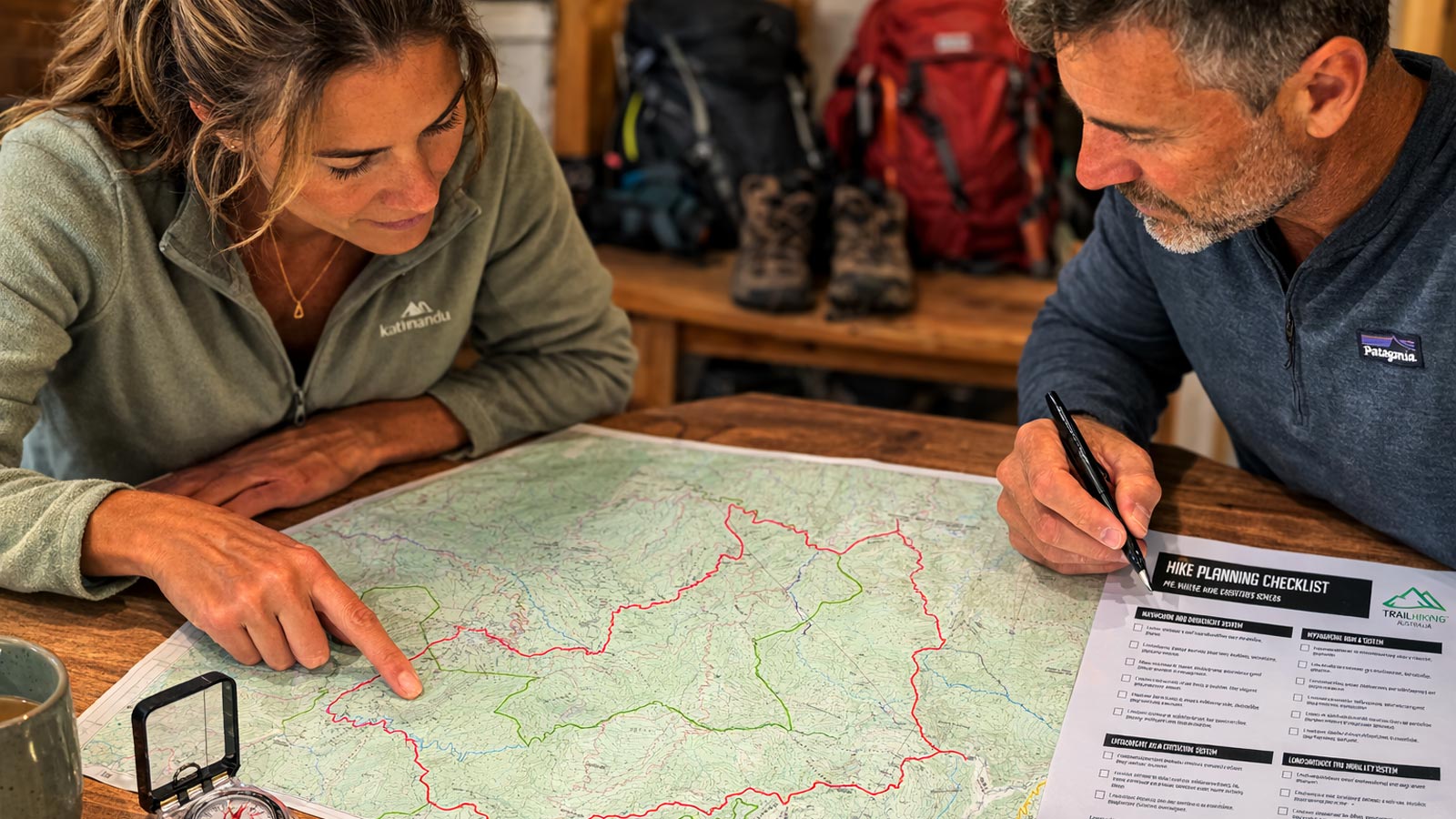
Plan Your Hike in Six Steps
The tools below help you assess whether a hike is achievable, understand terrain difficulty, estimate walking time, plan hydration, identify key risks, and determine what equipment to carry before heading out.
