Peter Murrell Reserves and Coffee Creek Track is a 7.8km, grade 3 hike located in Peter Murrel Conservation Area, Tasmania. The hike should take around 2.5 hours to complete.
Hike overview
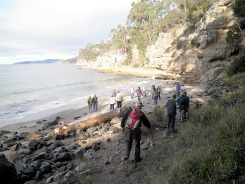
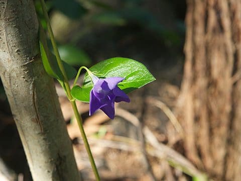
You can walk, ride or cycle for as little or as long as you like through this large reserve. A variety of tracks, catering for different users, criss-cross the sandy terrain, interspersed with small creeks and ponds (see detailed user map). The reserve is well known for its beautiful wildflower display from late winter to summer, including more than 35 orchid species. It's also rich in birdlife (including a breeding colony of the endangered forty-spotted pardalote) and mammals (potaroos, bettongs, eastern barred bandacoots, Bennetts wallabies and bats). Friends of Peter Murrell Reserves actively care for this reserve. The reserves were named after Peter Murrell, who was appointed as the first director of the PWS when it was established in 1971 as a modern organisation to manage Tasmania's National Parks , World Heritage Areas and over 400 reserves like this one.
Route and GPX file
Max elevation: 109 m
Min elevation: 29 m
Total climbing: 168 m
Total descent: -168 m
Trail location
Sorry, no records were found. Please adjust your search criteria and try again.
Sorry, unable to load the Maps API.
Getting there
Peter Murrell Reserves can be accessed from numerous locations. Howden Road and Burwood Drive provide good parking and bases for the track network and other access points includes via Coffee Creek Track in Huntingfield. Coffee Creek Track starts at the Algona Road underpass and links with Peter Murrell Reserves and Huntingfield. See detailed user map.
Gallery
If you have any photos from this hike and are happy to share them, please upload your .jpg files here.
Please note: Uploading photos does not transfer ownership of copyright away from you. If requested, you will be credited for any photos you provide and can ask they be deleted at any time.
About the region
Hobart's suburbs of Kingston, Tinderbox and Blackmans Bay enjoy a wonderful backyard bush playground known collectively as the Peter Murrell Reserves. The reserves conserve a range of forest, buttongrass and heathland communities, and comprise the Peter Murrell State Reserve, the Peter Murrell Conservation Area and a public reserve.
Similar trails nearby
Explore Safe
While planning your hike, it’s important to check official government sources for updated information, temporary closures and trail access requirements. Before hitting the trail, check local weather and bushfire advice for planned burns and bushfire warnings and let someone know before you go. Plan ahead and hike safely.
Let someone know
Adventure with peace of mind: Fill out your trip intentions form. Before you hit the trail, fill out an online form to privately send important details about your hike to your family or friends. If you don’t return on time, they can easily alert emergency services, preventing worry and ensuring a swift response. Hike with peace of mind and enjoy your outdoor adventure to the fullest. Be smart, be safe: Register your plans here.
Gear to consider

My free planning, food and packing checklists provide an introduction to things your could consider (as well as the Ten Essentials) on your day, overnight and multi-day adventures. Customise your kit according to your personal needs, always considering safety first.
Suggest an edit
Does this hikes information need updating? Sometimes the route, trail features or access conditions change.
Acknowledgement of Country
Trail Hiking Australia acknowledges the Traditional Owners of the lands on which we hike and pay respects to their Elders, past and present, and we acknowledge the First Nations people of other communities who may be here today.


