Discover 52 hiking trails near Clarendon
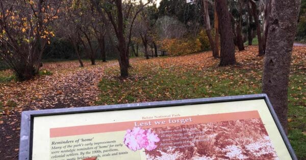
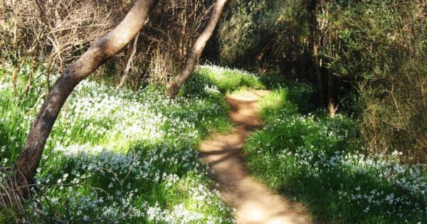
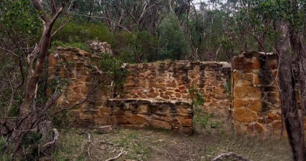
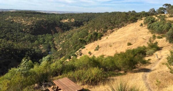
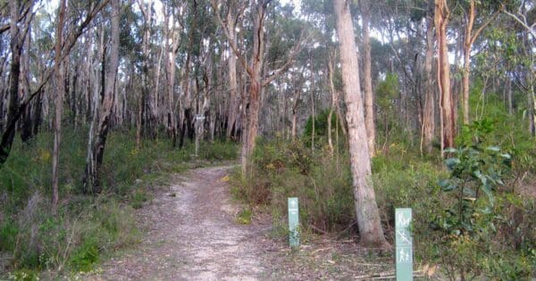
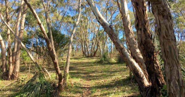
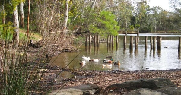
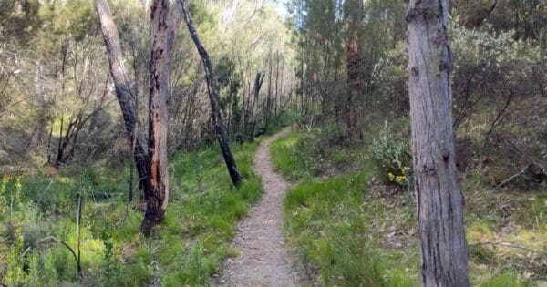
There are 52 hikes listed near Clarendon, spread across Belair National Park and Onkaparinga River National Park and other parks and reserves nearby. They range from the 1km RSL Walk to the 54km Yurrebilla Trail Hike. There is a good mix of easy, moderate and harder walks, so there is something here for most experience levels. 4 of them are overnight or multi-day walks.






Find more places to explore…
Help expand the trail collection!
Know of an official trail not listed on Trail Hiking Australia? I’m focused on showcasing the best tracks managed by land managers, and I’d love your help! Sharing a trail adds to our community and helps others discover safe, new adventures.
Submit your trail here