Treachery Headland walking track is a 2km, grade 4 hike located in Myall Lakes National Park, New South Wales. The hike should take around 1.25 hours to complete.
Hike overview
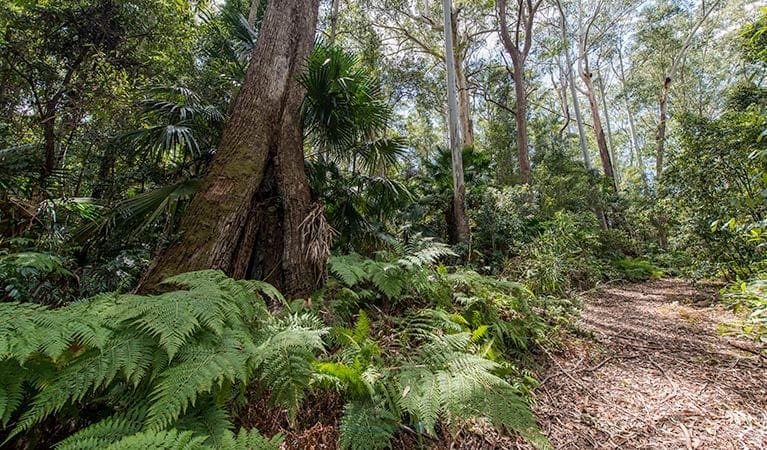
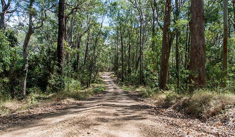
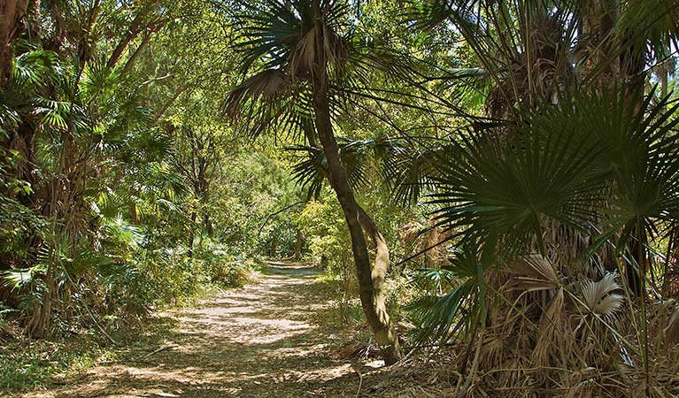
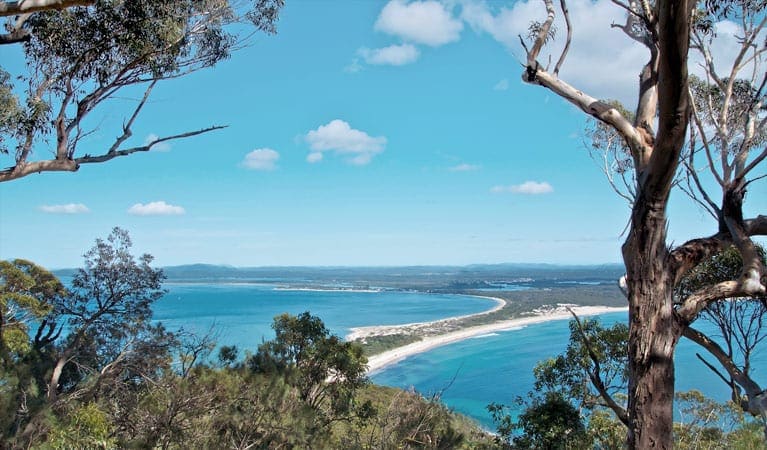
Treachery Headland walking track offers impressive views of Sugarloaf Point Lighthouse, the rocky headland and the coastline. It's a short walk, taking you on a journey through the park's coastal rainforest. You'll pass a giant fig tree with intricate buttress roots before reaching the grassy headland where stunning views await.
A sidetrack off the main one will take you down to the white sands of the secluded Treachery Beach. It's a great spot for fishing and surfing.
Route and GPX file
Help fellow hikers navigate with confidence. Share your GPX or KML file for this trail and help build a more comprehensive resource with precise waypoints and elevation profiles. Your contribution will empower adventurers with details they need for a safer and more enjoyable experience. I meticulously verify every file using official maps and surveys, ensuring the highest level of accuracy and reliability. Submit your file now and become a trailblazer for your fellow outdoor enthusiasts.
Trail location
Sorry, no records were found. Please adjust your search criteria and try again.
Sorry, unable to load the Maps API.
Getting there
To Treachery Head carpark. Treachery Headland walking track is in the Sugarloaf Point to Shelly Beach precinct of the Myall Lakes National Park. The walk starts from the small carpark near the turnoff to Treachery Camp, off Thomas Road near Seal Rocks. To get there from the Pacific Highway:Take the Lakes Way for 25km before turning right on to Seal Rocks RoadTurn right into Thomas Road and look for Treachery Camp Park entry points Treachery Head carpark See on map Parking Parking is available at a small carpark near the start of Treachery Headland walking track.
Visit NSW National Parks and Wildlife Service for more information on this trail.
The longitude and latitude of the start and end points are approximately only and should not be used for navigation purposes. Please contact me if you know the correct coordinates.
Gallery
If you have any photos from this hike and are happy to share them, please upload your .jpg files here.
Please note: Uploading photos does not transfer ownership of copyright away from you. If requested, you will be credited for any photos you provide and can ask they be deleted at any time.
About the region
Myall Lakes National Park, on the north coast not far from Newcastle, features one of the State's largest coastal lake systems that offers countless opportunities for canoeing and kayaking, boating and fishing. The park also boasts more than 40kms of beaches that offer some good swimming and surfing spots. You can visit for a daytrip to enjoy a barbecue or picnic and some walking, but it's better to come for the weekend or longer to enjoy all that the park has to offer. There are lots of great campgrounds, some large and some small, including campsites for tents, trailers, caravans, motorhomes, and even boats, so you're bound to find the perfect site to suit your needs. If camping is not your style, you can book in to the heritage listed accommodation at Sugarloaf Point Lighthouse.
Similar trails nearby
Explore Safe
While planning your hike, it’s important to check official government sources for updated information, temporary closures and trail access requirements. Before hitting the trail, check local weather and bushfire advice for planned burns and bushfire warnings and let someone know before you go. Plan ahead and hike safely.
Let someone know
Adventure with peace of mind: Fill out your trip intentions form. Before you hit the trail, fill out an online form to privately send important details about your hike to your family or friends. If you don’t return on time, they can easily alert emergency services, preventing worry and ensuring a swift response. Hike with peace of mind and enjoy your outdoor adventure to the fullest. Be smart, be safe: Register your plans here.
Gear to consider

My free planning, food and packing checklists provide an introduction to things your could consider (as well as the Ten Essentials) on your day, overnight and multi-day adventures. Customise your kit according to your personal needs, always considering safety first.
Suggest an edit
Does this hikes information need updating? Sometimes the route, trail features or access conditions change.
Acknowledgement of Country
Trail Hiking Australia acknowledges the Traditional Owners of the lands on which we hike and pay respects to their Elders, past and present, and we acknowledge the First Nations people of other communities who may be here today.


