Hike at a Glance
Max elevation: 53m
Min elevation: 1m
Total Ascent: 130m
Hike overview
This scenic loop walk from Bundeena takes in sweeping coastal views, secluded beaches, and ancient Aboriginal engravings, offering a rich and varied experience within Royal National Park. The 7.5-kilometre track, graded as a moderate (grade 3) hike, typically takes around two and a half hours to complete. Following a mix of beach, bushland, and management trails, it provides a blend of natural beauty and cultural significance, making it a rewarding route for hikers keen to explore the diverse landscapes of this coastal region.
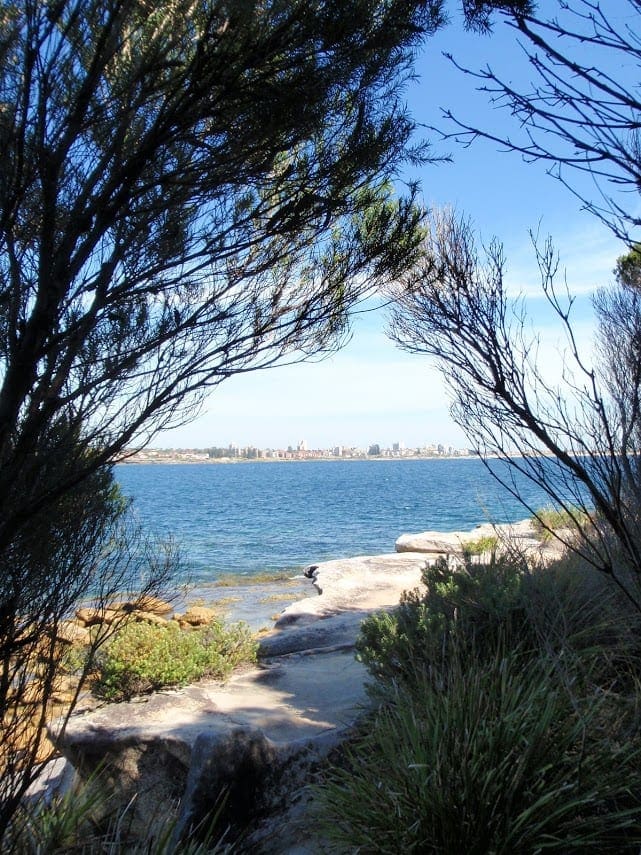
Beginning in the quiet community of Bundeena, the walk follows local roads before reaching Jibbon Beach, a picturesque crescent of golden sand stretching for 800 metres along the shores of Port Hacking. This sheltered bay is popular with sailors, and its rock shelves at either end add to the rugged charm. From here, a well-defined track leads towards Jibbon Head, where a short detour reveals one of the area’s most significant cultural sites—the Jibbon Head Aboriginal engravings. Etched into the expansive rock shelf are detailed carvings of marine and land animals, telling the stories of the Dharawal people who lived in this area for thousands of years. The whale engraving, in particular, is impressive in scale, best appreciated from a distance. Visitors are urged to respect this site by avoiding stepping on the engravings to help preserve them for future generations.
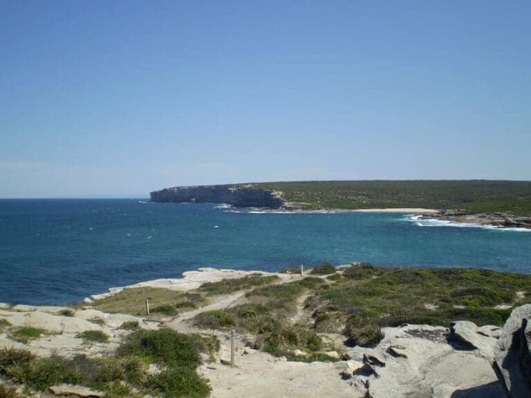
Beyond Jibbon Head, the trail continues to Shelley Beach, a quiet and sheltered cove framed by rocky platforms and pockets of dense heath. Looking out over the South Pacific Ocean, it’s a peaceful spot to pause before the walk turns inland, following a sandy management trail through low coastal scrub. The return leg meanders through the park’s windswept heathland, offering glimpses of the coastline before looping back towards Bundeena.
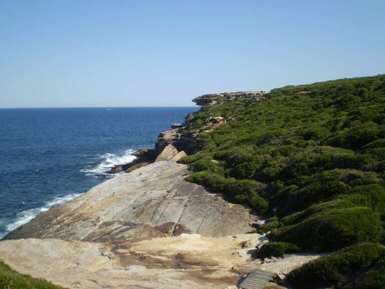
For those wanting to take in an extra viewpoint, an optional side trip to Bundeena Lookout is well worth the effort. Though unmarked and informal, this high clifftop perch provides a stunning vantage point over the ocean, with views extending south along the dramatic escarpment. However, the cliff edges here are fragile and unstable, so care should be taken to keep a safe distance.
This walk combines natural beauty with cultural heritage, making it an ideal day out for those looking to explore a less-travelled corner of Royal National Park. With its mix of sandy beaches, rugged cliffs, and important Indigenous sites, it offers a deep connection to the landscape and history of this remarkable coastal region.
Gallery
Got some great shots from this hike? Upload your photos here to inspire others and show off the beauty of the trail!
Uploading your photos doesn’t mean you lose ownership. You can be credited for your contributions, and you can request removal at any time.
Content use
Please don’t copy GPX files or content from this site to AllTrails or other platforms. Each trail has been personally mapped, documented, and refined to support Australia’s bushwalking and hiking community. While some details come from land managers, every listing reflects significant personal effort. This is a free, community-driven initiative—your respect helps keep it that way.
Walk map and GPX file
Max elevation: 53 m
Min elevation: -4 m
Total climbing: 130 m
Total descent: -123 m
Getting there
Getting to the trailhead: Royal National Park.
Bundeena, a charming coastal village at the northern edge of Royal National Park, serves as the starting point for this walk. It can be reached by car via Audley and Sir Bertram Stevens Drive, or by ferry from Cronulla, which provides a scenic journey across Port Hacking. The town has a relaxed blend of holidaymakers and permanent residents, with a selection of cafés and accommodation options, including B&Bs. From the ferry wharf, it’s a short walk to the trailhead near Jibbon Beach, a sheltered stretch of sand on the eastern side of town. With its mix of seaside charm and access to the rugged beauty of Royal National Park, Bundeena makes an ideal base for exploring the surrounding coastline and bushland.
Closest towns to this walk: Audley, Barden Ridge, Bundeena, Caringbah, Cronulla, Engadine, Heathcote, Helensburgh, Loftus, Maianbar, Menai, Miranda, Otford, Oyster Bay, Stanwell Park, Sutherland, Sylvania, Waterfall, Wattamolla, Wollongong, Woodenbong, Woronora, Woronora Heights
About the region
Located near Cronulla, just an hour’s drive from both Sydney and Wollongong, Royal National Park is a sprawling 16,000-hectare expanse of coastal cliffs, secluded beaches, lush rainforests, and tranquil rivers. Established in 1879, it holds the distinction of being the world’s second-oldest national park and remains a favourite destination for outdoor enthusiasts. Known locally as “the Nasho” or simply “the Royal,” this historic park offers an incredible variety of landscapes, making it a prime spot for walking, hiking, cycling, and countless other outdoor adventures.
From the towering sandstone cliffs along the Coast Track to the serene freshwater swimming holes of Karloo Pool, the park’s diverse terrain caters to all levels of walkers and hikers. Scenic bushwalks wind through dense eucalypt forests, past ancient Aboriginal rock engravings, and along windswept headlands where the ocean stretches endlessly to the horizon. Seasonal wildflowers bring bursts of colour to the landscape, while waterfalls cascade over rock ledges into pristine pools below. Whether you prefer a short family-friendly walk or a challenging full-day hike, Royal National Park offers trails suited to every experience level.
Beyond its network of tracks, the park is a playground for nature lovers. Picnic areas are scattered throughout, perfect for a relaxed lunch after a morning on the trails. Surfers flock to Garie Beach for its consistent waves, while birdwatchers can spot lyrebirds, black cockatoos, and sea eagles soaring overhead. In the cooler months, the clifftops provide one of the best vantage points for watching humpback whales as they migrate along the coast. Those looking to extend their visit can set up camp at North Era or book a stay in one of the historic cottages dotted throughout the park.
With its breathtaking scenery and wealth of outdoor activities, Royal National Park is an unforgettable destination for anyone seeking to explore New South Wales’ natural beauty.
Similar walks nearby
Looking for more walks in or near Royal National Park? Try these trails with a similar difficulty grade.
Track grade
Grade 3 (Moderate) - Walks for Most Fitness Levels: Grade 3 on the AWTGS represents moderate walking tracks. These are ideal for walkers with some fitness who are comfortable with some hills and uneven terrain. While suitable for most ages, some bushwalking experience is recommended to ensure a safe and enjoyable experience. Tracks may have short, steep hill sections, a rough surface, and many steps. The total distance of a Grade 3 walk can be up to 20 kilometers.
Explore safe
Plan ahead and hike safely! Carry enough water, pack layers for changing conditions, and bring safety gear like a torch, PLB, and reliable communication device. Check official sources for trail updates, closures, and access requirements, and review local weather and bushfire advice. Most importantly, share your plans with someone before you go. Being prepared makes for a safer and more enjoyable hike! Stay Safe, Explore More, and Always #ExploreSafe.
Packing checklists
What you carry in your pack depends on factors like weather, terrain, and your adventure type. Not sure what to bring? My free planning, food, and packing checklists are a great starting point, covering day hikes, overnight trips, and multi-day adventures. Use them to customise your kit and always prioritise safety.
Let someone know
Before heading out, take a moment to fill out your trip intentions form. It’s a quick way to share your hike details with family or friends. If something goes wrong, they can notify emergency services, ensuring a faster response and peace of mind. Stay safe and enjoy your adventure
Suggest an edit
Spotted a change on this trail? Maybe there are new features, the route has shifted, or the trail is permanently closed. Whatever the update, I’d love your input. Your feedback helps fellow hikers stay informed and ensures that our trail info stays fresh and reliable.
Acknowledgement of Country
Trail Hiking Australia acknowledges the Traditional Owners of the lands on which we hike and pay respects to their Elders, past and present, and we acknowledge the First Nations people of other communities who may be here today.