System Assessment Tool
Where will pressure build, and how will it spread?
This tool assesses the eight safety systems of your planned hike by comparing route demands against your current readiness. It identifies where pressure is likely to build, how it may transfer between systems, and what conditions increase the rate of escalation.
This is not a checklist. It is a pressure model — built around how hiking incidents actually develop.
Based on the conditions and readiness selected. The assessment is only as accurate as the inputs you provide.
System Assessment
System Pressure Profile
System Breakdown
System Status
Primary System Under Strain
Pressure Pathway
Compound Pressure
Accelerants
Systems Likely to Come Under Pressure Next
Targeted Actions
Important: This assessment is a planning aid based on the inputs provided. It does not replace experience, judgement, or the need to adapt to changing conditions. Always leave a trip plan with a trusted contact.
Hiking Systems Assessment Tool
A pressure model, not a risk score
The eight tools in this suite each address one part of hiking preparation: time, water, grade, risk profile, equipment, clothing, sleep systems. The System Assessment Tool does something different. Rather than scoring a single dimension, it maps the relationship between what your planned hike demands and what you are currently prepared to handle, across all eight of the Hiking Safety Systems simultaneously. It identifies where demand exceeds capacity, how those strained systems are likely to transfer pressure to others, and what conditions in your plan will accelerate that transfer. This is the framework’s core insight expressed as a practical pre-departure tool.
What the assessment measures
The tool asks 18 questions across three sections. The first section covers route and conditions: difficulty, navigation complexity, expected duration, temperature, weather, terrain exposure, water availability, and remoteness. The second section covers your readiness for this specific hike: navigation confidence, physical readiness, environmental preparedness, hydration planning, injury and medical readiness, communication and rescue capability, equipment confidence, load management, and decision-making approach. The third section asks whether you are hiking solo, which promotes the effective remoteness by one level if answered yes. For each of the seven non-decision systems, a load score and a capacity score are calculated. The difference between them produces the strain value for that system. Decision-making strain is then calculated separately, as a weighted function of strain across the other seven systems, with additional loading when accelerants are present.
Accelerants and the rate of escalation
Three accelerants are detected from the inputs rather than directly asked about: time pressure, weather acceleration, and fatigue. Time pressure fires when navigation or mobility is strained alongside a long or full-day duration. Weather acceleration fires when the combination of weather severity and terrain exposure creates conditions that amplify whatever pressure already exists. Fatigue fires when hydration or mobility is strained, when the hike is full-day, or when physical readiness is limited and duration is long. Each accelerant that is present increases the rate at which marginal systems become strained. When two or more accelerants are present, decision-making strain increases further. The output labels the accelerant state as normal, elevated, or high, and the radar chart and system breakdown reflect the pressure landscape that results.
The benign start pattern
One of the more important outputs of this tool is the benign start flag. This fires when conditions appear manageable on the surface but multiple systems are marginal and accelerants are present, creating the conditions for cascading failure even though no single system is yet under strain. The benign start pattern reflects one of the most consistent themes in the framework: incidents rarely begin with obvious problems. They begin with a hike that looks achievable, proceeds into mild difficulty across several systems at once, and escalates faster than expected when time pressure, fatigue, or weather begin to interact. Recognising this pattern before departure is the purpose of the flag.
How to use the result
The output shows a radar chart of system pressure across all eight systems, a system breakdown with individual strain status, the primary system under strain, a pressure pathway showing how strain is likely to transfer, compound pressure information when two or more systems are under strain simultaneously, the accelerant state, systems likely to come under pressure next if current conditions persist, and targeted actions for each strained system. The value of the assessment is in the early intervention it enables: acting on a marginal result before departure is far more effective than managing cascading failure on the track. If the result identifies a high accelerant state or a benign start pattern alongside marginal systems, that is a prompt to revisit the plan, not to proceed with added caution.
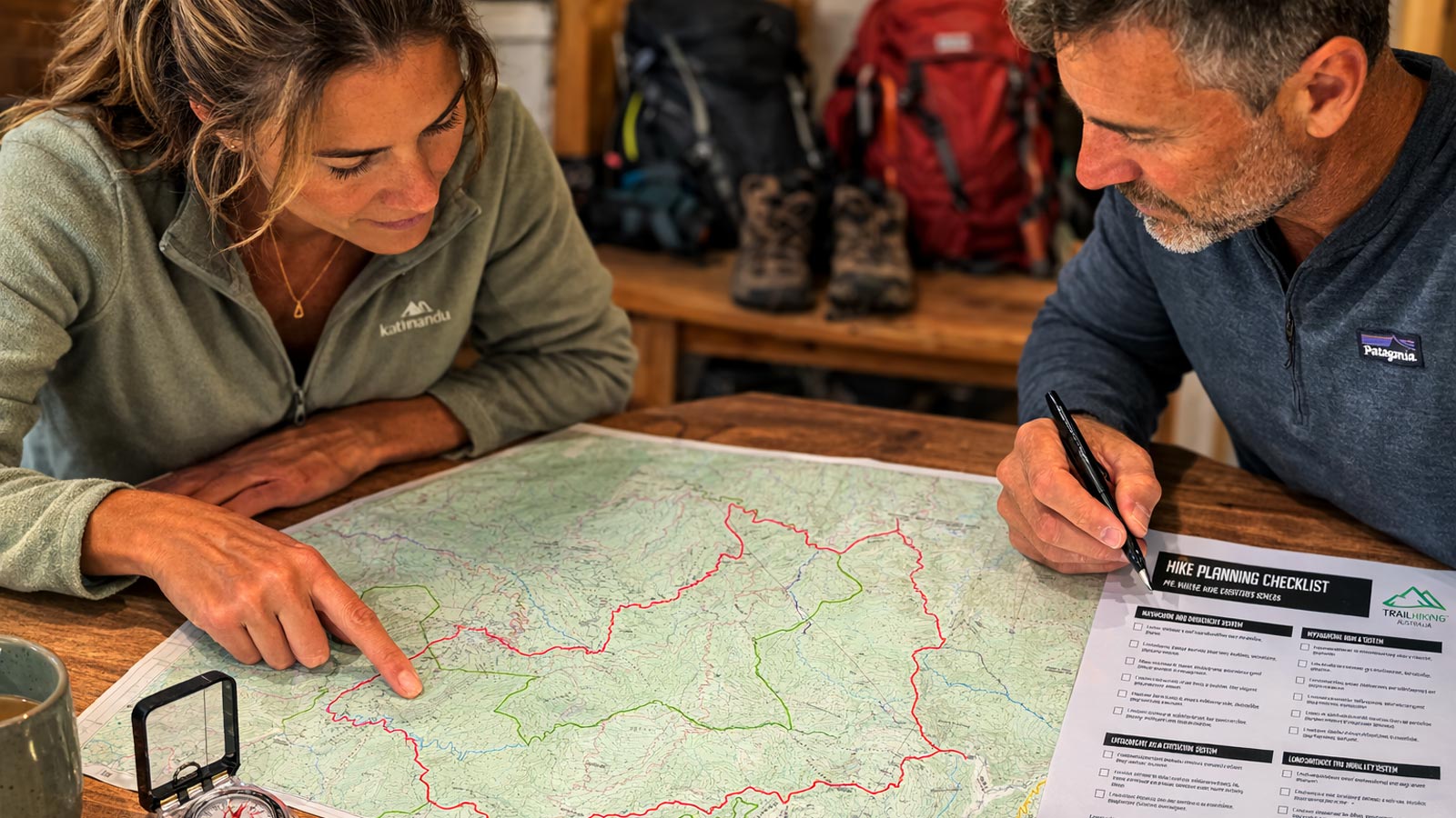
Plan Your Hike in Six Steps
The tools below help you assess whether a hike is achievable, understand terrain difficulty, estimate walking time, plan hydration, identify key risks, and determine what equipment to carry before heading out.
Explore more planning tools
Hiking Calculators collection →
