Sorry, no records were found. Please adjust your search criteria and try again.
Sorry, unable to load the Maps API.
Explore stunning hiking trails of West Wallsend
Discover the diverse trails of West Wallsend, New South Wales, offering hikes and walks for all skill levels and interests. Find your perfect adventure today.
Discover 4 hiking trails in West Wallsend

Where Bushland and Mining Country Meet at West Wallsend
Overview
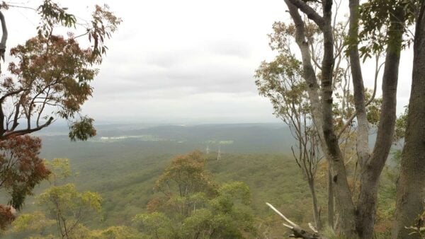
West Wallsend sits on the western side of Lake Macquarie, not far from Newcastle, where old coal country meets a broad belt of remnant bushland. The area is shaped by gentle rises, creek flats and open forest, with surviving colliery land and former rail corridors still influencing the landscape today. It is also part of a much larger tract of government-managed land in the district, covering more than 1,500 hectares.
Highlights
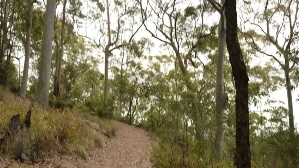
The natural character here is quieter and more understated than the big escarpments or coastal headlands found elsewhere in New South Wales. What stands out is the mix of rolling bushland, creek lines and long, connected stretches of forest around the edge of the township. This setting links West Wallsend into the wider Sugarloaf Range landscape, giving the area a strong sense of space despite its proximity to Newcastle.
There is also real scenic interest in the way natural groundforms and older disturbed land now sit side by side. Around the former colliery land, open grassy areas, reeds and creek junctions soften what was once an industrial site, so the landscape feels layered rather than purely urban or purely bush.
Best Time to Visit
Autumn and spring are usually the most comfortable times to be out around West Wallsend, when temperatures are milder and the bush is often at its most pleasant after seasonal rain. Winter can also be a good time for clear air and gentler walking conditions, especially in more open country. Summer is better suited to earlier starts, as the inland edges of the Newcastle region can heat up quickly.
Plants and Animals
West Wallsend lies beside important native bushland that forms part of a larger habitat corridor running toward the Watagan Mountains. In nearby protected forest on the Sugarloaf Range, spotted gum is a characteristic tree, and the broader landscape supports a high diversity of native vertebrate fauna. That connected bushland is one of the area’s real strengths, helping wildlife move through a part of the lower Hunter that has long been shaped by mining and settlement.
Vegetation mapping for the district also points to a locally distinctive forest community named West Wallsend Stringybark Forest, which hints at how specific the plant communities are in this pocket of Lake Macquarie.
Culture and Heritage
West Wallsend has a strong cultural landscape as well as a deep industrial history. Butterfly Cave at West Wallsend is recognised as a sacred Aboriginal site, and the surrounding landscape includes aquifers, traditional journey paths, creeks, stone arrangements and food source areas.
The district’s other defining heritage layer is coal mining. The former West Wallsend No. 1 Colliery established the town, and its surviving site still includes substantial nineteenth-century remains such as railway earthworks, coal box piers, an engine pond, fencing made from old winding cable and the base of the headframe. Those relics give West Wallsend an unusually direct connection to the region’s mining past.
Find more places to explore…
Help expand the trail collection!
Know of an official trail not listed on Trail Hiking Australia? I’m focused on showcasing the best tracks managed by land managers, and I’d love your help! Sharing a trail adds to our community and helps others discover safe, new adventures.
Submit your trail here

