Sorry, no records were found. Please adjust your search criteria and try again.
Sorry, unable to load the Maps API.
Explore stunning hiking trails of Torrington State Conservation Area
Discover the diverse trails of Torrington State Conservation Area, New South Wales, offering hikes and walks for all skill levels and interests. Find your perfect adventure today.
Discover 3 hiking trails in Torrington State Conservation Area


Granite Country and Wildflower Seasons at Torrington
Overview
Torrington State Conservation Area sits on the western fall of the New England Tablelands in northern New South Wales, about 65km north-west of Glen Innes. It covers 30,030 hectares across the rugged Mole Tableland, where dry forests and woodlands spread over granite country marked by rocky outcrops, creeks and broad areas of open bush.
What makes this place feel different from many other parks in the region is its combination of large-scale granite landforms and a relatively undeveloped, remote character. The conservation area also forms an important link between the northern forests of the tablelands and the open woodlands further west.
Highlights
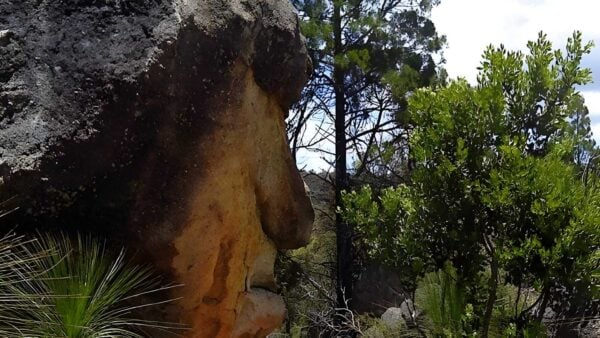
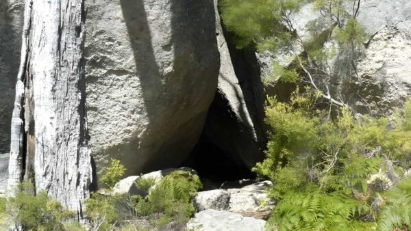
The defining feature here is granite. Torrington lies across the Mole granite batholith, with parallel ridges, exposed rock shelves, monolithic outcrops and extensive boulder fields shaping the landscape. In places the terrain is unusually rough for New South Wales, which gives the area its strong sense of scale and isolation.
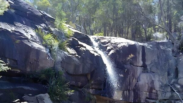
There is more variety than the rock country first suggests. Alongside the ridges and outcrops are low-relief valley floors, small creeks and poorly drained flats on the central sedimentary country. That mix creates a landscape that shifts from stark stone country to softer woodland and swampy ground, especially noticeable when seasonal colour runs through the bush from spring into summer.
Best Time to Visit
From September to March, wildflowers are one of the big seasonal drawcards, adding colour to the dry forests and woodlands. This is the most rewarding time if you want to see the conservation area at its most vivid.
Outside the warmer months, the higher tableland setting can feel quieter and more austere, which suits the granite scenery well. Cooler conditions also tend to make longer days out in the open country more comfortable.
Plants and Animals
Torrington protects an unusually rich mix of plant communities for a sub-humid part of inland New South Wales. Seven major vegetation groups have been identified across the Mole Tableland, including granite outcrop communities and sedge-heath swamps that are reserved here and not in any other protected area. Riparian woodlands and forested sections are especially rich in species, and several vegetation types support rare or threatened plants.
The animal life is varied as well, with records from the wider Mole Tableland including large numbers of birds, reptiles, frogs and mammals. Open woodland on the granite country supports species such as the glossy black-cockatoo, while the broader mix of forest, creeklines, outcrops and swampy ground helps explain why the area carries such strong biodiversity value.
Culture and Heritage
Torrington State Conservation Area includes Aboriginal cultural values and sites, and its management recognises the importance of working with the local Aboriginal community to protect them. The area is also noted for European and Chinese heritage, reflecting the long mining history associated with the granite and mineral-bearing country.
That mining history is part of the place itself rather than a separate layer added later. Mineral deposits occur throughout the Mole granite batholith, and both historic and more recent mining interests have shaped parts of the landscape alongside its natural features.
Find more places to explore…
Help expand the trail collection!
Know of an official trail not listed on Trail Hiking Australia? I’m focused on showcasing the best tracks managed by land managers, and I’d love your help! Sharing a trail adds to our community and helps others discover safe, new adventures.
Submit your trail here

