Sorry, no records were found. Please adjust your search criteria and try again.
Sorry, unable to load the Maps API.
Explore stunning hiking trails of Pyengana
Discover the diverse trails of Pyengana, Tasmania, offering hikes and walks for all skill levels and interests. Find your perfect adventure today.
Discover 2 hiking trails in Pyengana
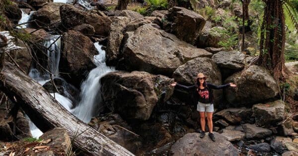

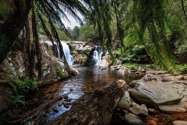

Where Rainforest and Farmland Meet at Pyengana
Overview
Pyengana is a lush inland pocket in north-east Tasmania, east of Launceston and close to the George River catchment. The district is known for its green farming country, steep wooded hills and the way settled river valleys quickly give way to wetter forested country around nearby reserves. That contrast is a big part of its character. You can move from open pasture into cool, shaded forest in a very short distance, and the landscape feels shaped as much by rainfall and watercourses as by the roads that pass through it.
The best-known protected place in the area is St Columba Falls State Reserve, which covers 450.69 hectares. Nearby, the Blue Tier rises above Pyengana’s valleys and adds a more elevated, rugged backdrop of mountain forest and boulder country.
Highlights
The scenery around Pyengana is all about strong contrasts. The South George River cuts through heavily timbered country, and in the nearby foothills St Columba Falls drops almost 90 metres down a steep granite cliff face. Around it, densely wooded hills and a year-round water catchment give the area a damp, deeply green feel that is quite different from drier parts of Tasmania.
Looking up from Pyengana, the Blue Tier adds another layer to the landscape. Its mountain forests, sub-alpine boulder country and wide views across the farming and forested valleys of Pyengana give the district a real sense of scale.
Best Time to Visit
Pyengana suits visitors in any season, but the area is at its most vivid when the country is green and the creeks are running well. Because the district sits in a moderately high rainfall area and the nearby reserves have large catchments with continuous flow, the forested parts of Pyengana usually feel freshest in the cooler months and after rain. Summer can still be a good time for clear views across the valleys, especially toward the Blue Tier.
Plants and Animals
The wetter forest around Pyengana supports a classic north-east Tasmanian mix of tree ferns, sassafras, myrtle and beech. In the more sheltered gullies and along creeks, those species create cool, shaded conditions that feel almost rainforest-like, while the surrounding hills show the transition back toward more open forest and farming country.
Waterways in the area provide suitable habitat for platypus, particularly along quieter creek banks. The broader district was also once prime habitat for the thylacine, a reminder of how extensive and well-watered these forests were before widespread clearing elsewhere.
Find more places to explore…
Help expand the trail collection!
Know of an official trail not listed on Trail Hiking Australia? I’m focused on showcasing the best tracks managed by land managers, and I’d love your help! Sharing a trail adds to our community and helps others discover safe, new adventures.
Submit your trail here

