Volcanic Peaks, Coastal Cliffs and Palm Forests on Lord Howe Island
Overview
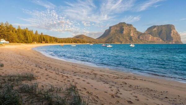
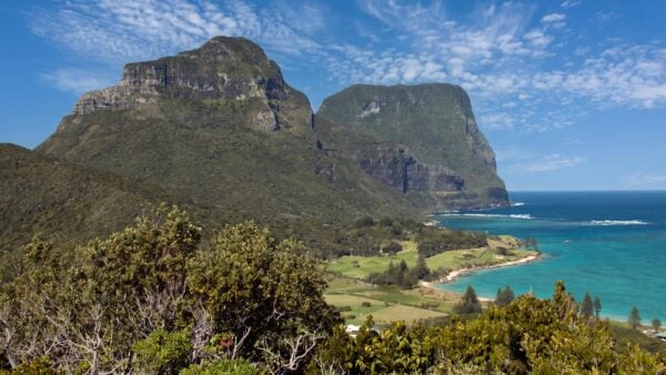
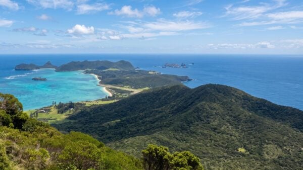
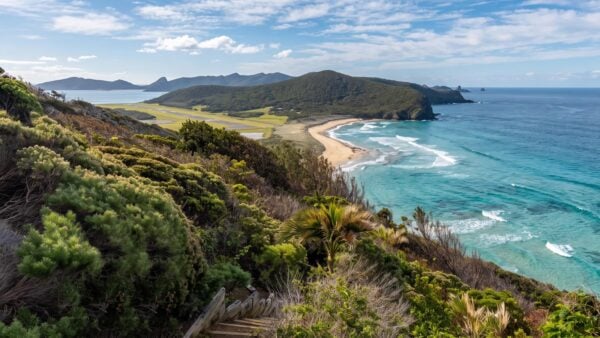
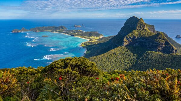
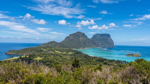
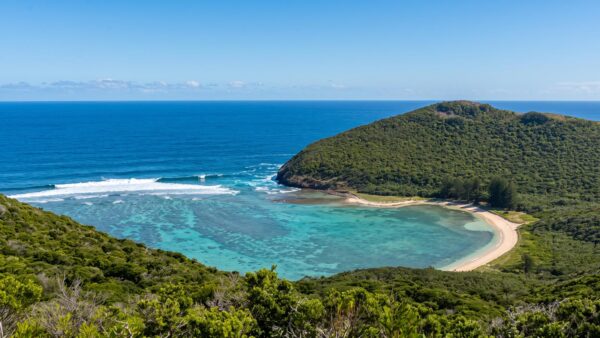
Lord Howe Island lies in the Tasman Sea about 570 km east of Port Macquarie, New South Wales. At around 11 km long and 2 km wide, it packs a surprising variety of walking country into a small area. A reef shelters the lagoon on the western side, while cliffs rise above the open ocean to the east. At the southern end, the basalt peaks of Mount Lidgbird and Mount Gower are remnants of the volcanic activity that formed the island.
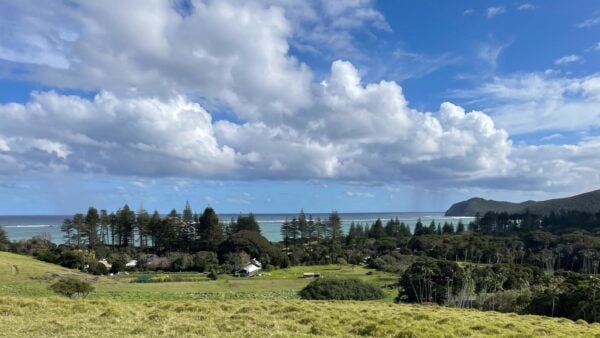
The island is part of the Lord Howe Island Group, which was added to the UNESCO World Heritage List in 1982. Around three quarters of the main island is protected within the Permanent Park Preserve. Walking tracks reach into both the northern hills and the southern mountains, with quieter roads around the settlement making it easy to cycle between some trailheads.
Highlights
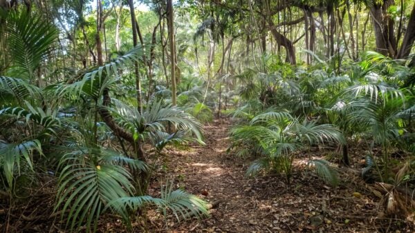
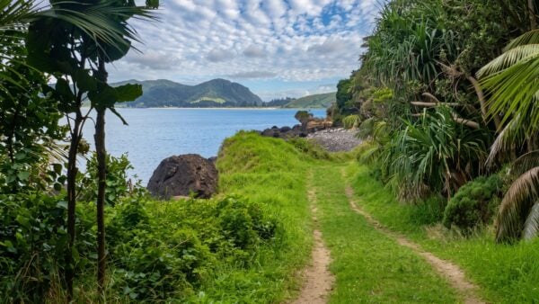
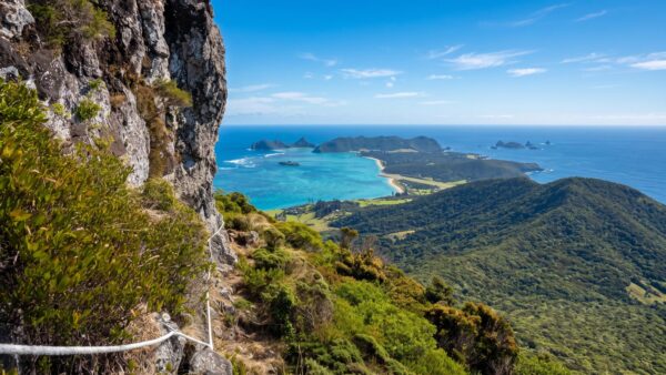
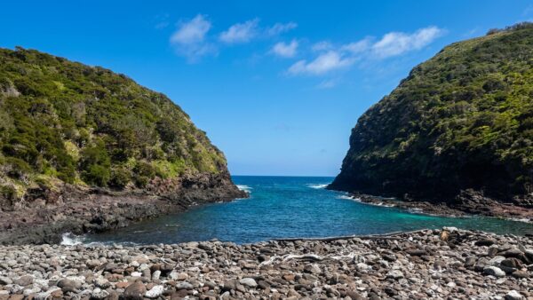
In the north, the tracks around Malabar and Kim’s Lookout climb to clifftops with views along the island towards Mount Lidgbird and Mount Gower. The route from Old Settlement Beach to North Bay shows how quickly the terrain can change. It climbs steeply over a ridge before dropping back to the shore. Around the centre of the island, shorter walks take you through kentia palms and banyans to beaches and coastal lookouts.
At 875 m, Mount Gower is the island’s highest peak and its most demanding walk. The route traverses exposed terrain and includes steep, rope-assisted sections before reaching the summit cloud forest. Walkers can only access Mount Gower with a guide licensed by the Lord Howe Island Board. Elsewhere, even relatively short tracks can be steep, with exposed roots and rocks that become slippery after rain.
Best Time to Visit
Lord Howe Island has a mild subtropical climate, and walking is possible throughout the year. Autumn is a good choice for a trip built around hiking, with cooler days than summer. Winter is cooler again and generally wetter, while summer is warmer and more humid. For the higher walks, the forecast matters as much as the season. Conditions on exposed ridges and summits can differ considerably from those beside the lagoon.
Some tracks also have seasonal access restrictions. The Mount Eliza track is closed from September through to the end of March to protect nesting sooty terns. Check the Lord Howe Island Board’s track information before setting out, especially if you are planning to link several walks.
Plants and Animals
Kentia palms and broad-spreading banyans are among the most distinctive plants you’ll see on the lower tracks. Higher up, the vegetation changes with elevation and exposure. Mount Gower’s summit supports a cool, damp cloud forest where mosses and ferns grow among plants found only on Lord Howe Island.
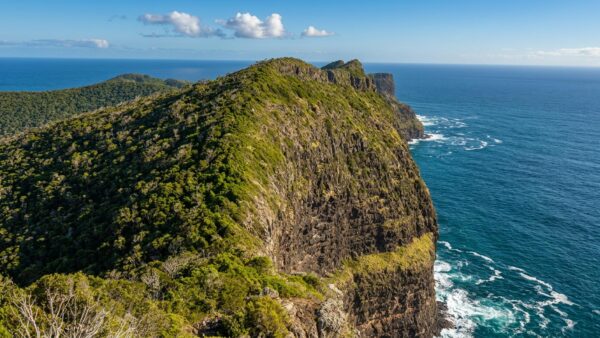
The island group is an important breeding area for seabirds, and on the coastal tracks you can often watch them from above as they ride the air currents along the cliffs. The island is also home to the Lord Howe woodhen, a flightless bird found nowhere else. The walking tracks bring you close to these habitats, and the boot-cleaning stations at the southern mountain trailheads help keep soil-borne plant disease out of the preserve.
Culture and Heritage
Permanent settlement began in 1834. Early residents supplied fresh produce to visiting whaling ships and other vessels, and the export of kentia palms later became an important local industry. The palms that line some of the island’s walking tracks are part of that history as well as a distinctive feature of the native forest.
Lord Howe Island is part of New South Wales and is administered by the Lord Howe Island Board, which manages the Permanent Park Preserve and helps protect the island group’s World Heritage values. Local guides are part of how visitors get to know the island, particularly on Mount Gower, where the climb takes walkers through coastal forest and into a summit environment few other tracks reach.