Trail Fast Facts
Old Beechy Rail Trail is a 50km, grade 3 hike in Western Victoria, Victoria. This hike typically takes 2 days to complete.
Hike Overview
The Old Beechy Rail Trail winds through scenic pine forests and bushland, rich farmland and rolling hills as it travels from Colac up to Beech Forest.
It was originally a narrow gauge railway that played a key role in opening the western Otways to settlement.
Magnificent eucalypts and blackwoods provide homes for abundant bird life.
This trail features outstanding and innovative interpretative signs along the route.
When planning for this trail, you should note that the trail is almost continually down hill from Beech Forest to Gellibrand and it is best suited for hybrids and mountain bikes.
Barongarook - turn east on Barongarook Rd from the Colac-Lavers Hill Rd. Parking is available at the local hall.
Birnam - turn east on Cashins Rd from the Colac - Lavers Hill Rd and follow it 1km to the picnic ground (old Birnam staion). The trail is signposted here.
Track Grade
Grade 3 (Moderate) - Walks for Most Fitness Levels: Grade 3 on the AWTGS represents moderate walking tracks. These are ideal for walkers with some fitness who are comfortable with some hills and uneven terrain. While suitable for most ages, some bushwalking experience is recommended to ensure a safe and enjoyable experience. Tracks may have short, steep hill sections, a rough surface, and many steps. The total distance of a Grade 3 walk can be up to 20 kilometers.
Tips
Colac to Beech Forest in Western Victoria
Otway Ranges, 152km south west of Melbourne
Compacted earth
Undulating with a couple of steep sections
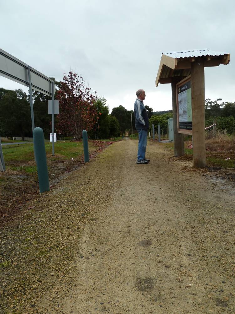
Photo credit: Rail Trails Australia. For more information and a location map please visit RailTrails Australia.
Map and GPX file
Help fellow hikers navigate with confidence. Share your GPX or KML file for this trail and help build a more comprehensive resource with precise waypoints and elevation profiles. Your contribution will empower adventurers with details they need for a safer and more enjoyable experience. I meticulously verify every file using official maps and surveys, ensuring the highest level of accuracy and reliability. Submit your file now and become a trailblazer for your fellow outdoor enthusiasts.
Trail Location (trailhead)
Sorry, no records were found. Please adjust your search criteria and try again.
Sorry, unable to load the Maps API.
Photo gallery
If you have any photos from this hike and are happy to share them, please upload your .jpg files here.
Please note: Uploading photos does not transfer ownership of copyright away from you. If requested, you will be credited for any photos you provide and can ask they be deleted at any time.
Similar trails nearby
Explore Safe
While planning your hike, it’s important to check official government sources for updated information, temporary closures and trail access requirements. Before hitting the trail, check local weather and bushfire advice for planned burns and bushfire warnings and let someone know before you go. Plan ahead and hike safely.
Let someone know
Adventure with peace of mind: Fill out your trip intentions form. Before you hit the trail, fill out an online form to privately send important details about your hike to your family or friends. If you don’t return on time, they can easily alert emergency services, preventing worry and ensuring a swift response. Hike with peace of mind and enjoy your outdoor adventure to the fullest. Be smart, be safe: Register your plans here.
Gear to consider
What you carry in your pack will depend on the weather, terrain, time of year, type of adventure, and personal preferences. Having trouble deciding what gear’s right for you? My free planning, food and packing checklists provide an introduction to things your could consider (as well as the Ten Essentials) on your day, overnight and multi-day adventures. Customise your kit according to your personal needs, always considering safety first.
Suggest an edit
Trail changed? New features discovered? Has the route changed? Trail permanently closed? Help fellow hikers by suggesting edits! Click above to update route descriptions, GPX file, trail features (like boardwalks), or access conditions (like parking availability). Help me keep the trails info fresh!
Weather
Acknowledgement of Country
Trail Hiking Australia acknowledges the Traditional Owners of the lands on which we hike and pay respects to their Elders, past and present, and we acknowledge the First Nations people of other communities who may be here today.


3 Reviews on “Old Beechy Rail Trail Walk (50km)”
Tania. 50K in a day, what do ya reckon?
Tanya Marshall-Disher
Well I’ve done it before ? and it’s prob flat so yeah def in a day.