Hike at a Glance
Max elevation: 0m
Min elevation: 0m
Total Ascent: 0m
Hike overview
If you're an adventurous walker, you'll love the Little Bay to Smoky Cape walk.
This 10km coastal track begins near Little Bay picnic area in Arakoon National Park, near Kempsey on the north coast of NSW. Start at historic Overshot Dam, where you can feed the ducks before setting off. Then simply follow the ridge to The Gap Beach and Smoky Cape tracks.
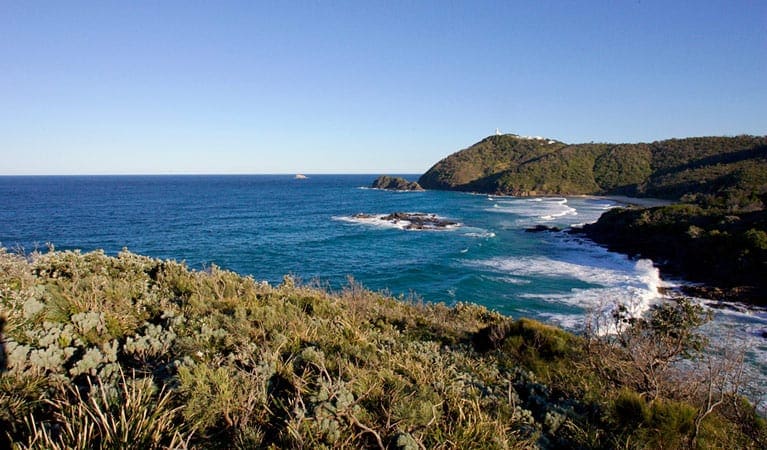
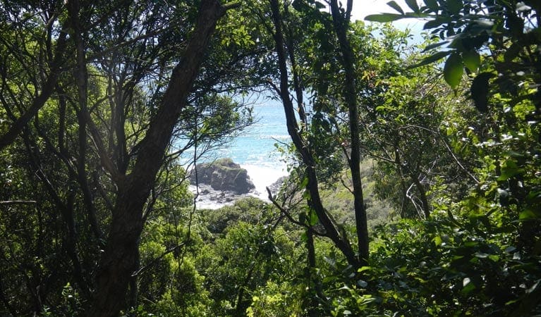
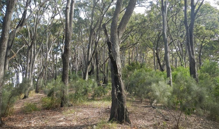
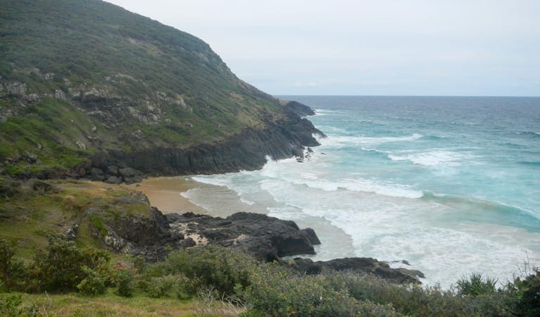
As you walk you'll come across beautiful, diverse scenery including heathland, rainforest and grassy woodland. Depending on the season, you might see wildflower displays or spot whales from the cliffs.
When you arrive at Smoky Cape, head to Captain Cook's lookout for a picnic lunch and a tour of the lighthouse. Or you can always do the walk in reverse and finish at the picnic area at Little Bay.
Tips
Starting at Overshot Dam at Little Bay, follow the ridge to The Gap Beach and Smoky Cape tracks. A one-way journey can take up to four hours.
You may wish to bring your camera and keep an eye out for whales and birds as you go
Visit NSW National Parks and Wildlife Service for more information on this trail.
The longitude and latitude of the start and end points are approximately only and should not be used for navigation purposes. Please contact me if you know the correct coordinates.
Gallery
Got some great shots from this hike? Upload your photos here to inspire others and show off the beauty of the trail!
Click to view form >>
Submitting your photos doesn’t mean you lose ownership. You can be credited for your contributions, and you can request removal at any time.
Content use
Please don’t copy GPX files or content from this site to AllTrails or other platforms. Each trail has been personally mapped, documented, and refined to support Australia’s bushwalking and hiking community. While some details come from land managers, every listing reflects significant personal effort. This is a free, community-driven initiative—your respect helps keep it that way.
Walk map and GPX file
It looks like I don’t have a GPX file for this trail yet. If you have one to share, please email it to me! I’ll verify it against official maps before adding it to help other hikers have a safer, easier experience. Thanks for contributing to a better hiking resource.
Getting there
Getting to the trailhead: Hat Head National Park.
To Captain Cook carpark. Little Bay to Smoky Cape starts at Little Bay picnic area in the Trial Bay Gaol precinct of the adjoining Arakoon National Park. To get there:From South West Rocks:Follow Phillip Drive (it becomes Wilson Street)Turn right onto Gladstone Street which becomes Carri StreetContinue along Carri Street until you reach Little Bay picnic areaFollow the signs to Overshot Dam where the track beginsAlternatively, if starting from Smoky CapeOn entering Hat Head National Park:Take the South West Rocks RoadFollow the signs to Smoky Cape lighthouseThe walk begins near Captain Cook’s lookout Park entry points Captain Cook carpark See on map Parking Parking is available at Overshot Dam, the nearby Little Bay picnic area or near Captain Cook’s lookout at Smoky Cape.
Closest towns to this walk: Crescent Head, Frederickton, Gladstone, Hat Head, Kempsey, Port Macquarie, South West Rocks
About the region
Hat Head National Park on the mid-north coast of NSW near South West Rocks is a natural paradise. Explore the lighthouse, camp by the beach and go fishing and swimming. Hat Head is a national park in New South Wales, Australia, 461.7 kilometres via M1 and Pacific Highway/A1, northeast of Sydney. It lies within the Hastings-Macleay Important Bird Area.
Similar walks nearby
Looking for more walks in or near Hat Head National Park? Try these trails with a similar difficulty grade.
Track grade
Grade 5 (Difficult) - Walks for the Most Experienced: Grade 5 represents the most challenging walking tracks on the AWTGS. These are only recommended for very experienced and fit walkers with specialised skills, including navigation and emergency first aid. Tracks are likely to be very rough, very steep, and unmarked. Walks may be more than 20 kilometers. These challenging walks demand a high level of fitness and experience to navigate difficult terrain, significant elevation changes, and potentially unformed paths.
Explore safe
Plan ahead and hike safely! Carry enough water, pack layers for changing conditions, and bring safety gear like a torch, PLB, and reliable communication device. Check official sources for trail updates, closures, and access requirements, and review local weather and bushfire advice. Most importantly, share your plans with someone before you go. Being prepared makes for a safer and more enjoyable hike! Stay Safe, Explore More, and Always #ExploreSafe.
Packing checklists
What you carry in your pack depends on factors like weather, terrain, and your adventure type. Not sure what to bring? My free planning, food, and packing checklists are a great starting point, covering day hikes, overnight trips, and multi-day adventures. Use them to customise your kit and always prioritise safety.
Let someone know
Before heading out, take a moment to fill out your trip intentions form. It’s a quick way to share your hike details with family or friends. If something goes wrong, they can notify emergency services, ensuring a faster response and peace of mind. Stay safe and enjoy your adventure
Suggest an edit
Spotted a change on this trail? Maybe there are new features, the route has shifted, or the trail is permanently closed. Whatever the update, I’d love your input. Your feedback helps fellow hikers stay informed and ensures that our trail info stays fresh and reliable.
Acknowledgement of Country
Trail Hiking Australia acknowledges the Traditional Owners of the lands on which we hike and pay respects to their Elders, past and present, and we acknowledge the First Nations people of other communities who may be here today.


