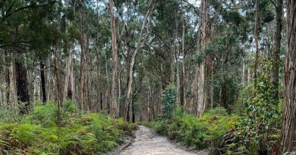
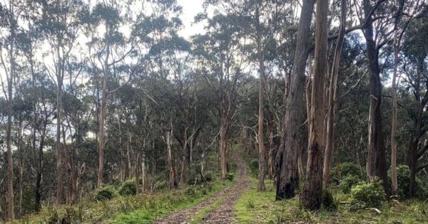
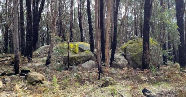
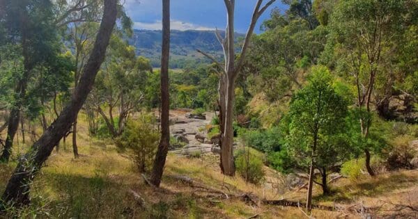
Granite ridges and forested hills above the Goulburn Valley
Overview
Tallarook State Forest lies in central Victoria near Tallarook, a little over an hour north of Melbourne, where the southern edge of the Goulburn Valley rises into dry forest and rocky hill country. It covers about 4,900 hectares and is known for a compact but varied landscape of ridgelines, steep gullies, small creeks and granite outcrops.
The forest sits close to farming country and the Hume corridor, but once you are in among the hills it feels far more rugged than its position on the map suggests. Much of its character comes from the change between open, sunlit slopes and more sheltered creek lines, giving the area a mix of broad views and enclosed bushland.
Highlights
The most distinctive parts of Tallarook State Forest are its rocky high points and broken hill country. Granite features around the forest give it a tougher, more sculpted feel than many nearby bush areas, and the higher ground looks out across the Goulburn Valley and surrounding ranges.
Mount Hickey is the best known summit in the forest, and the broader Tallarook plateau adds to the sense of elevation. Around the western side, features such as Falls Creek Reservoir and Horseshoe Lagoon add contrast to the otherwise dry ridges and forested slopes, giving the landscape a bit more variety than a quick glance at the name might suggest.
Best Time to Visit
Autumn through spring generally suits this forest best. Cooler weather makes the climbs and exposed ridgelines more pleasant, and the bush tends to feel greener and fresher after seasonal rain. Winter can also be a good time for clear views and softer light across the hills.
Summer can be harsher here, especially on open tracks and rocky ground where heat builds quickly. After wetter periods, the gullies and creek lines show a different side of the forest and the contrast between dry slopes and sheltered pockets becomes more noticeable.
Plants and Animals
Tallarook State Forest is part of Victoria’s dry forest country, with eucalypt forest and woodland spread across its slopes and ridges. The landscape shifts with aspect and moisture, from drier, more open hillsides to greener creek flats and sheltered drainage lines.
These forests support native birds, mammals and reptiles typical of central Victorian bushland, especially species that rely on a patchwork of mature trees, understorey and rocky ground. The mix of ridges, gullies, waterbodies and forest cover creates a more varied habitat than its modest size might suggest.
Culture and Heritage
Tallarook State Forest sits on Taungurung Country and forms part of the Stone Country Cultural Landscape, which extends through the rocky ridges and foothill forests of this part of Victoria. The name Tallarook is also linked with Taungurung language.