Sorry, no records were found. Please adjust your search criteria and try again.
Sorry, unable to load the Maps API.
Explore stunning hiking trails of Newry Islands National Park
Discover the diverse trails of Newry Islands National Park, Queensland, offering hikes and walks for all skill levels and interests. Find your perfect adventure today.
Discover 1 hiking trail in Newry Islands National Park
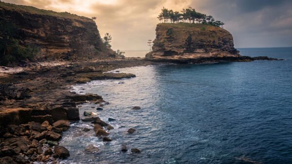

Low-lying islands on the edge of the Great Barrier Reef
Overview
Newry Islands National Park is a small island group off the Mackay coast in central Queensland, near Seaforth and roughly 35km north of Mackay. It sits within the Great Barrier Reef World Heritage Area and feels quite different from the larger, more mountainous islands farther offshore. The park covers about 485ha and is made up of low-lying coastal country shaped by the meeting of sea, mudflats and sheltered inshore waters.
Because the islands are so close to the mainland, the landscape has a strong coastal character. Mangroves, tidal flats and other wetland areas are a noticeable part of the park, giving it a softer, more estuarine feel than the rocky island profiles many people picture elsewhere along this coast.
Highlights
The main appeal here is the contrast between quiet island beaches, broad tidal edges and the sheltered channels between the islands. These are inshore islands rather than high peaks, so the scenery is more about coastline, sea passage views and the close mix of land and tide than dramatic headlands.
That low-lying setting also gives the park a distinct sense of place within the Mackay island group. The Newry Islands sit almost on the mainland’s doorstep, with mangrove-fringed shorelines and wetland margins that make the whole area feel tied to the rhythms of the coast.
Best Time to Visit
Conditions are generally pleasant through the year, but the drier months are usually the most comfortable time to be on these islands. The wetter period runs from January to April, while cyclones are more likely between November and March, so the middle months of the year tend to bring more settled weather for appreciating the coastline and island setting.
Plants and Animals
Wetlands are a real part of the park’s identity. Around 31ha of the park is mapped as wetland, including intertidal areas such as mangroves, saltflats and saltmarsh, along with palustrine wetlands. Those habitats add another layer to the islands beyond the beach fringe and help explain why the place feels so bound up with tides and shallow coastal water.
The park also supports a surprisingly rich spread of recorded wildlife for a relatively small area, with more than 100 bird species noted as well as reptiles and a smaller number of mammals. Wetland-dependent species are a notable part of that mix, and the mapped shorebird zone for this stretch of coast points to the value of these intertidal habitats for birdlife.
Find more places to explore…
Help expand the trail collection!
Know of an official trail not listed on Trail Hiking Australia? I’m focused on showcasing the best tracks managed by land managers, and I’d love your help! Sharing a trail adds to our community and helps others discover safe, new adventures.
Submit your trail here

