The Grampians, or Gariwerd
Nestled in the heart of Victoria, the Grampians National Park, traditionally known as Gariwerd, draws bushwalkers and nature lovers from across the country and beyond. It’s known for its mountain ranges, waterfalls and wildflower displays, and for good reason, but the park’s appeal goes well past its trails. It carries a deep Aboriginal heritage, a wide range of wildlife, and enough else going on that it’s worth more than a single day trip, whether you’re after a challenging peak or a quieter walk through Grampians National Park.
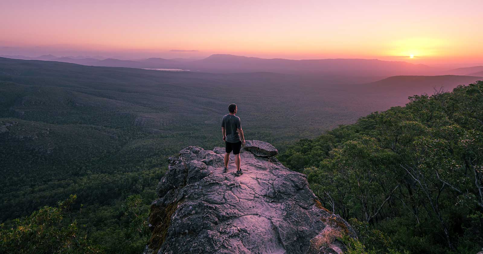
Gariwerd: A Landscape Rich in Aboriginal Heritage
Gariwerd is deeply intertwined with Aboriginal culture. The Jadawadjali and Djab Wurrung Peoples have called this region home for over 22,000 years, and it holds the largest collection of Aboriginal rock art in southern Australia, with paintings and carvings across the park’s rock shelters and caves. These artworks are a window into the spiritual and cultural lives of the people who have lived here for millennia.
A visit to Brambuk – The National Park & Cultural Centre in Halls Gap is worth building time for if you want to understand that cultural significance properly. The centre has interactive exhibits and knowledgeable guides who can connect you with traditions that continue in this landscape today.
Exploring the Grampians: Trails and Hikes
The park has trails for every level, from an easy lookout walk to multi-day treks, and it helps to know the differences between the three main regions before you plan a trip.
Central Grampians: Iconic Walks and Views
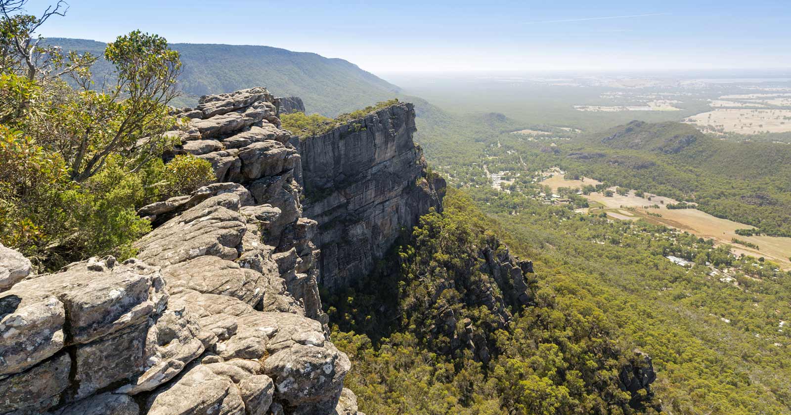
The central region is the most popular part of the park, thanks to its accessible trails. The Pinnacle walk, one of the park’s most famous hikes, takes you through the Wonderland Range to panoramic views over Halls Gap and the surrounding valleys. The trail is steep and demanding, but the summit view is the payoff.
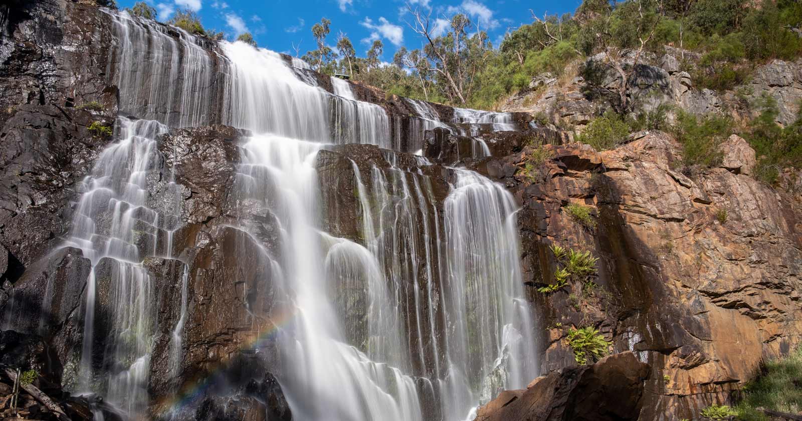
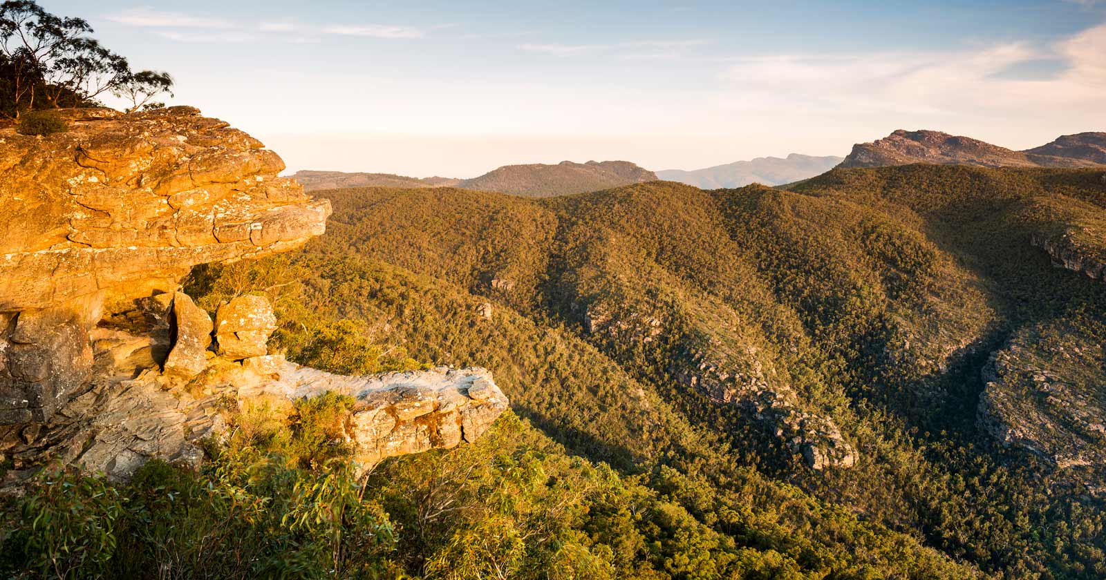
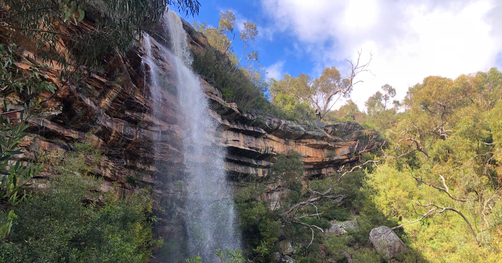
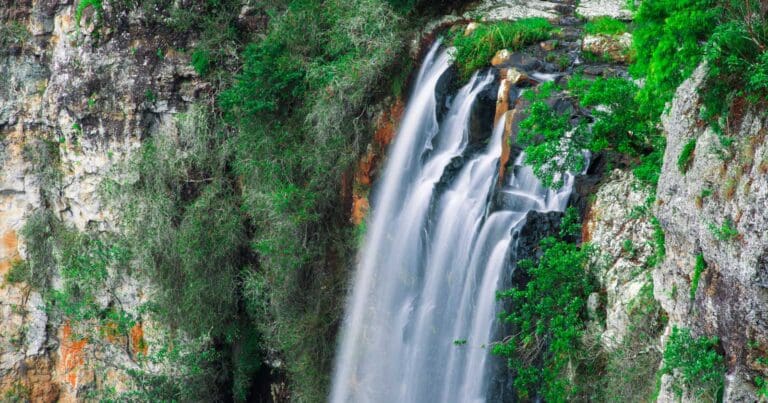
Another highlight is the walk to Mackenzie Falls, one of Victoria’s largest waterfalls, especially dramatic after heavy rain. For shorter, easier walks, Boroka Lookout and Reed Lookout are accessible by car with minimal walking required.
Boronia Peak is a tougher climb, with a rocky ascent leading to a summit that looks out over Lake Fyans and the surrounding countryside.
Northern Grampians: Rugged Beauty and Aboriginal Rock Art
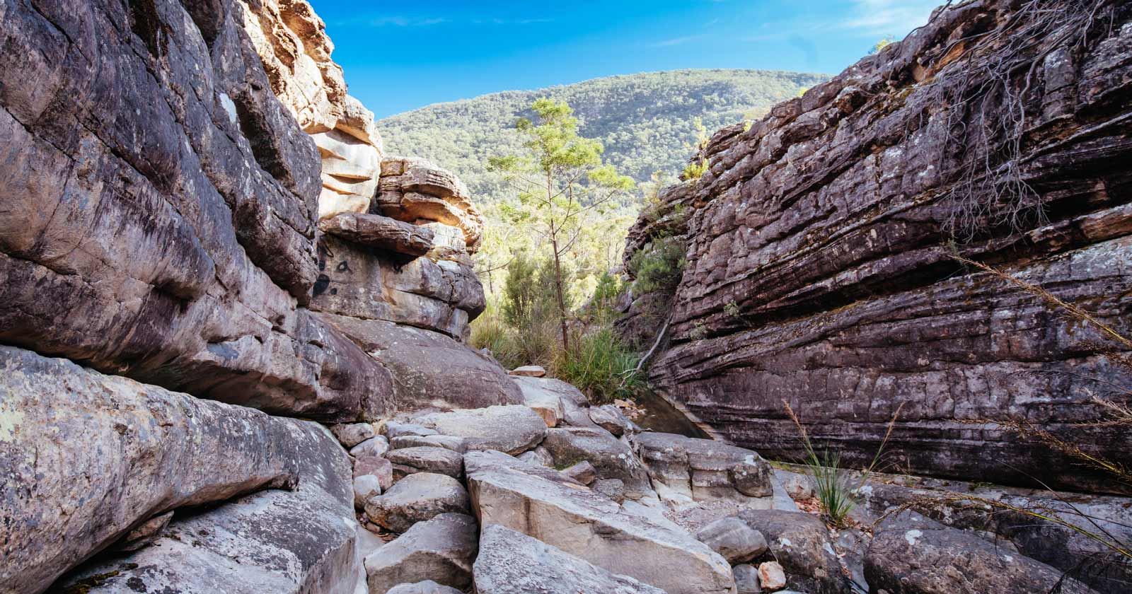
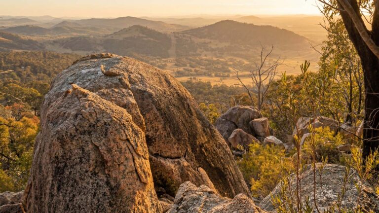
The northern Grampians are known for their rugged landscapes and challenging hikes. The trail to the summit of Mount Stapylton is a steep climb with views over the surrounding plains. The Hollow Mountain (Wudjub-guyun) trail is another favourite, with rock formations shaped by wind and time.
This area is also rich in Aboriginal heritage, with several rock art shelters that are easily accessible via short walks. The Gulgurn Manja Shelter, for example, offers a glimpse into the past with its ancient handprints and motifs, set against the backdrop of the Wimmera Plains.
Southern Grampians: Remote Wilderness and Epic Hikes
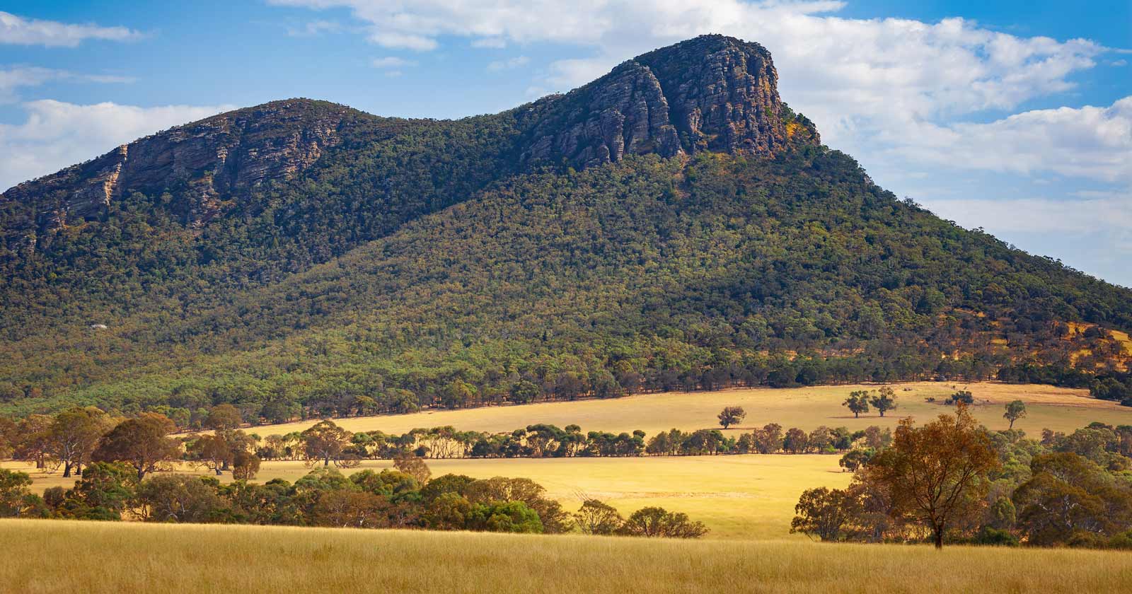
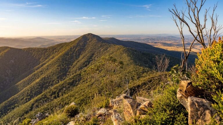
The southern Grampians suit those after solitude and untouched wilderness. This region holds some of the park’s most remote and challenging trails, including the Major Mitchell Plateau, a 41-kilometre trek across high peaks and through dense forest. Another standout is the hike to the summit of Mount William, the highest point in the Grampians, with views that stretch a long way on a clear day.
Closer to the town of Dunkeld, the climbs up Mount Abrupt (Mud-dadjug), Mount Sturgeon (Wurgarri), and The Piccaninny (Bainggug) are more accessible but still rewarding, with a mix of open grasslands and rocky outcrops, and a decent chance of native wildlife along the way.
The Grampians Peaks Trail: 13 Days Through Gariwerd
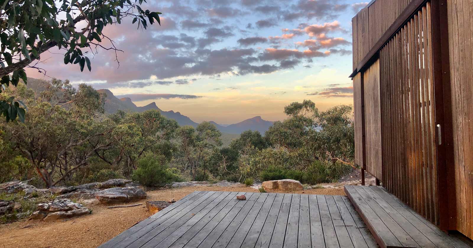
For the biggest undertaking in the park, the Grampians Peaks Trail is a 164-kilometre, 13-day, 12-night journey through some of the most varied country Gariwerd has to offer. It begins at Mt Zero in the northern Grampians and winds south through rugged terrain, forests and mountain peaks, finishing in the town of Dunkeld.
It’s a genuine test of endurance as much as anything else, passing over the summit of Gar (Mt Difficult), through the heart of the Grampians near Halls Gap, and over peaks including Redman Bluff, Mount William, Major Mitchell Plateau, Signal Peak, Mt Abrupt and Mt Sturgeon. Each day brings a different kind of terrain, from ridgeline views to quiet valleys.
The trail uses hike-in campgrounds built with minimal impact on the landscape, giving you somewhere to rest without leaving much of a footprint. Along the way you’ll pass through a good range of flora and fauna, including species unique to the Grampians, and the spring wildflower displays add real colour to the rocky terrain.
Beyond the scenery, the trail also takes in significant Aboriginal cultural sites, with plenty of opportunity to learn about the traditions and stories that have shaped this land for thousands of years.
The trail suits different styles of hiking, self-guided, as part of a group, or fully facilitated through a Licensed Tour Operator, which makes it accessible to seasoned hikers and those who’d rather have a more structured trip.
Whether you complete the whole trail or just a section of it, it’s one of the more significant multi-day walks in the country, both for the landscape and for what it takes in of Gariwerd’s culture.
Beyond Hiking: Other Activities in the Grampians
The Grampians aren’t just about hiking trails. Scenic drives are worth doing if you want the landscapes without the walking; the drive from Halls Gap to Mackenzie Falls is a favourite, winding through mountain passes with plenty of lookout points along the way.
You’ll likely see kangaroos, wallabies, emus and a range of native birds in their natural habitat. The park is home to at least 230 bird species, which makes it a solid destination for birdwatchers. Early morning or late afternoon are the best times to spot them going about their day.
If you’d rather be on the water, Lake Wartook, Lake Bellfield and Moora Moora Reservoir are popular for fishing, canoeing and kayaking. Check fishing permits and local guidelines before you cast a line.
Practical Information for Visitors
Getting to the Grampians National Park is a straightforward journey from major cities like Melbourne and Adelaide. The park is located about 260 kilometres (a three-hour drive) from Melbourne and 460 kilometres (a five-hour drive) from Adelaide. The villages of Halls Gap and Dunkeld serve as convenient bases for exploring the park, offering a range of accommodation and dining options.
When planning your visit, it’s worth considering the season and weather conditions. Spring and autumn are the best times to visit, with mild temperatures and wildflowers in bloom. Be sure to pack appropriate clothing, plenty of water, and a map, and always let someone know your plans before heading out on a long hike. Safety matters here, so have a bushfire plan and be ready to adjust your activities to the weather.
Places to Stay
Accommodation in the Grampians ranges from a tent or campervan through to self-contained cottages, and most of it puts you close enough to a trailhead to start walking from where you’re staying.
Caravan and camping parks in the region are set up for it, with powered sites, camp kitchens, showers and laundry facilities, and some of the bigger holiday parks add extras aimed at families. It’s worth booking ahead if you’re travelling during school holidays, since sites fill quickly.
For something more comfortable, the Grampians has become a glamping destination, particularly around the vineyards of Great Western and in the Halls Gap area, where bell tents, safari tents and renovated caravans give you a proper bed without losing the sound of the bush at night. Self-contained cottages, cabins and chalets are also widely available through the region’s holiday parks, generally with kitchens, heating and cooling, and full-sized beds, which suits longer stays better than a tent does.
For a more basic experience, bush camping within the park itself can be booked through Parks Victoria. Brambuk – The National Park and Cultural Centre in Halls Gap is worth a visit regardless of where you’re staying, with displays on the area’s natural attractions, Aboriginal history and wildlife. The Halls Gap Information Centre is a good source for maps and help planning the rest of your trip.
Environmental and Cultural Stewardship
The Grampians is a protected area as much as a destination for recreation, and the park’s management works with Traditional Owners to preserve its biodiversity and cultural heritage. The Greater Gariwerd Landscape Management Plan, developed in 2021, sets out strategies to keep the park intact for future generations. Sticking to designated trails and minimising your impact matters here, whether you’re hiking, camping or climbing, so it’s worth treating leave no trace as the standard rather than the exception.
Between the rugged peaks, the lakes, and the depth of Aboriginal history and rock art here, the Grampians rewards more than a single day trip. Whether you’re after a serious multi-day trek on the Peaks Trail or an easier family walk near Halls Gap, you can find the walking tracks and trails page for Grampians National Park to plan your own route.




Love the Grampians. So many options from short walks to long distance treks.