You don’t need to travel far from Melbourne to get well away from the city. Within a few hours you can trade traffic noise for creek sound, streetlights for open sky, and footpaths for proper track. Here are ten of the day hikes near Melbourne I’d point people toward.
Whether you’re an experienced hiker or after a casual stroll, there’s something here for you. The terrain varies a lot for a group of walks this close together: temperate rainforest, exposed ridgelines, and coastline that doesn’t feel like it should be this close to a capital city. I’ve picked out ten popular hikes near Melbourne worth exploring.
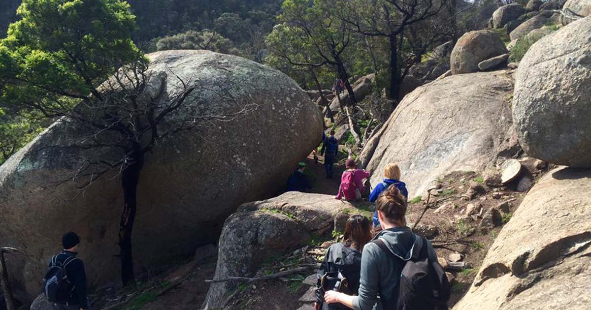
1. You Yangs Regional Park
East West Walk
You Yangs Regional Park, near Melbourne and Geelong, is dog-friendly and well used for it. There’s a good range of trails to explore with your dog, including the scenic 4.2km East West Walk. The park also caters to bikers, rock climbers, and birdwatchers, with over 50km of mountain bike track running alongside the walking trails. For more of a challenge, the 3km Flinders Peak Walk climbs to the park’s highest point and rewards you with wide views over the surrounding plains. If you’re bringing a dog, keep it leashed and leave no trace.
- Length: 4.2km
- Duration: 1.5 hours
- Grade: 3 (Moderate)
- Style: Circuit
> Start your adventure here: East West Walk and Flinders Peak Walk
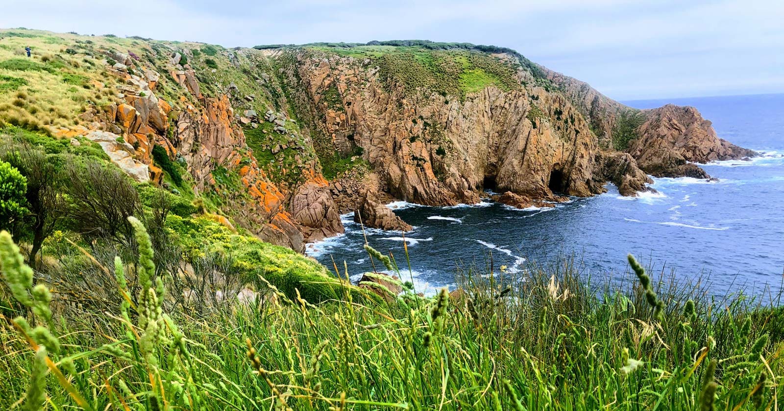
2. Cape Woolamai Faunal Reserve
Cape Woolamai Circuit Walk
Cape Woolamai, on Phillip Island’s southern tip, has clifftop views over the ocean and a good chance to watch surfers working Woolamai Beach below. It’s also home to the island’s largest shearwater colony, migratory birds you’ll see here between October and April. You can walk the full Cape Woolamai Circuit or one of the shorter options; all of them start near the car park and run along the beach before climbing to the island’s highest point.
- Length: 8.5km
- Duration: 3.5 hours
- Grade: 3 (Moderate)
- Style: Circuit
> Start your adventure here: Cape Woolamai Circuit Walk
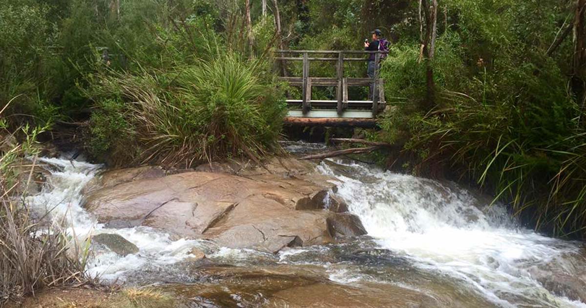
3. Marysville State Forest
Keppell Lookout & Steavenson Falls
This walk starts at the Steavenson Falls car park, home to Victoria’s tallest waterfall, then follows the Keppel Lookout signs along dirt tracks through the hills. Tracks can get muddy after rain, so pack water, snacks, and sturdy shoes. The climb passes the De La Rue lookout on the way up, and Keppel Lookout at the halfway point gives wide views over the surrounding country, with the Cathedral Ranges visible on a clear day.
The return leg heads down towards Falls Road, and if you’ve still got energy, a detour through the fern gully is worth the extra time. It’s a moderate walk overall, with enough scenery and enough climbing to make it worthwhile either way.
- Length: 15.5km
- Duration: 5 hours
- Grade: 3 (Moderate)
- Style: Circuit
> Start your adventure here: Keppell Lookout & Steavenson Falls
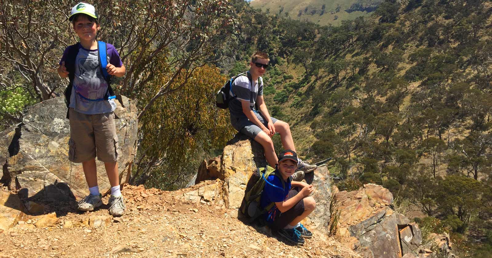
4. Werribee Gorge State Park
Werribee Gorge Circuit Walk
The Werribee Gorge Circuit Walk is one of the most rugged hikes close to Melbourne. Beginning at Meikles Point Picnic Area, it follows the historic water channel to Needles Beach, a good spot for a break, then tracks the river to Blackwood Pool before climbing a rocky ridge to the Western Viewpoint for wide river views. From there it continues east past Picture Point to the Eastern Viewpoint, looking out over the island in the gorge. You can turn back on the short circuit or extend the walk to the Quarry Car Park, returning via Myers Road across a few shallow gullies and down Pattersons Spur to Meikles Point. It’s a moderately challenging walk with genuinely good scenery, so wear sturdy shoes and long pants, and bring water and snacks.
- Length: 8.5km
- Duration: 3.5 hours
- Grade: 3 (Moderate)
- Style: Circuit
> Start your adventure here: Werribee Gorge Circuit Walk
5. Hanging Rock Reserve
Hanging Rock Summit Walk
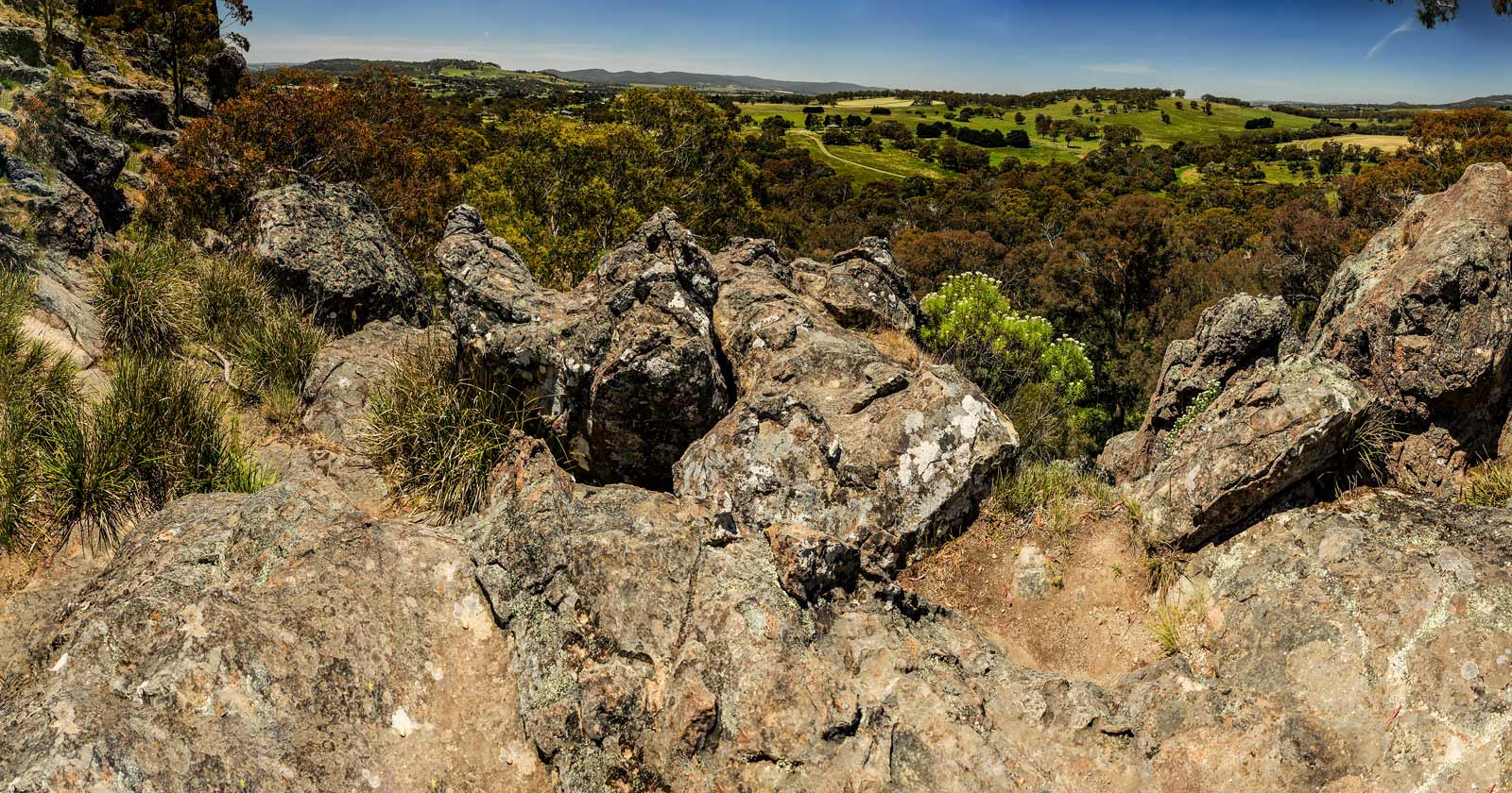
Hanging Rock is a small volcanic outcrop formed by ancient lava upheaval, and it carries more folklore than its size suggests. It’s linked to the bushranger ‘Mad Dog’ Morgan as a possible refuge, and it’s the setting for the novel and film “Picnic at Hanging Rock,” built around the mysterious 1901 disappearance of schoolgirls and their teacher on Valentine’s Day. The granite tors, caves, and overhanging boulders give the place a genuinely eerie feel even before you know the stories.
The walk climbs to the 105-metre summit for a view over the flat plain, farmland, and the Macedon and Cobaw ranges beyond. The Hanging Rock Discovery Centre at the base has exhibits on the area’s history and geology worth a look before or after the walk.
- Length: 2km
- Duration: 1 hour
- Grade: 3 (Moderate)
- Style: Circuit
> Start your adventure here: Hanging Rock Summit Walk
6. Brisbane Ranges National Park
Ted Errey Nature Circuit
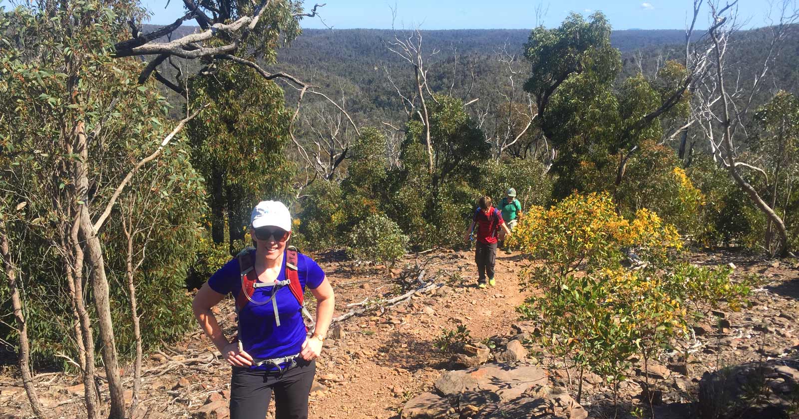
The Ted Errey Nature Circuit in the Brisbane Ranges is an easy walk with more variety than you’d expect. It follows sections of the Anakie Gorge walk on well-maintained track, crossing small creeks and boardwalks and the odd rocky section, through bush that’s been regenerating since the 2006 bushfires. The circuit starts and ends at the Anakie Gorge Picnic Area and is marked with blue triangles, with side trails branching off to views over the ranges and surrounding farmland. Spring brings wildflowers and more birdsong, and there’s a chance of spotting an echidna if you’re moving quietly.
- Length: 12.6km
- Duration: 3 hours
- Grade: 3 (Moderate)
- Style: Circuit
> Start your adventure here: Ted Errey Nature Circuit
7. Lerderderg State Park
Lerderderg Gorge Circuit Walk
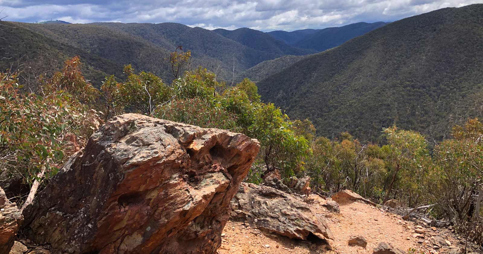
The Lerderderg, or “the Lerdy” as it’s known locally, is one of the most rugged and remote parks this close to Melbourne. The Lerderderg Gorge Circuit starts at Mackenzies Flat Picnic Area and follows the river to Graham’s Dam, a good spot for a swim, on a well-maintained path. For more of a challenge, cross the river at Graham’s Dam and take Link Track No. 2, a steep spur with rock scrambles marked by orange markers. From there the route crosses the Blackwood Ranges on the vehicle-friendly Blackwood Ranges Track, then drops back into the gorge on Link Track No. 1 before retracing the river track from Graham’s Dam back to Mackenzies Flat Picnic Area.
- Length: 8.2km
- Duration: 3-4 hours
- Grade: 4 (Hard)
- Style: Circuit
> Start your adventure here: Lerderderg Gorge Circuit Walk
8. Mornington Peninsula National Park
Bushrangers Bay & Gunnamatta
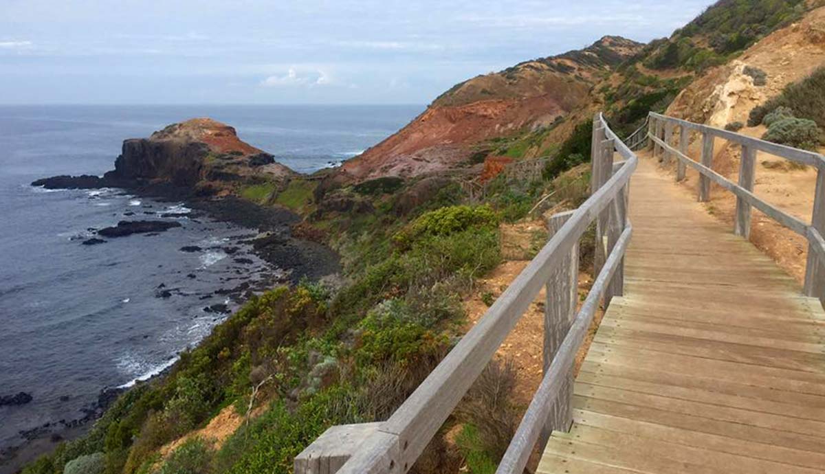
This walk combines clifftop views with secluded beaches and coastal vegetation. It follows the Two Bays Walking Track from Boneo Road, past Banksia groves, to the sheltered cove of Bushrangers Bay. From there the Bushrangers Bay Track continues towards Cape Schanck, where waves break hard against jagged rocks below wide ocean views. Past Cape Schanck, the track runs through Moonah woodland on a dirt track towards Gunnamatta Beach. You can detour at the Fingal Picnic Area for a break, or take the steep stairway down to the more secluded Fingal Beach. The final stretch runs through dense coastal vegetation with three lookout points along the way, before opening onto the sand at Gunnamatta Beach, a good spot to swim or just sit for a while.
- Length: 16km
- Duration: 5 hours
- Grade: 3 (Moderate)
- Style: One Way
> Start your adventure here: Bushrangers Bay & Gunnamatta
9. Macedon Ranges
Macedon Ranges Walking Trail
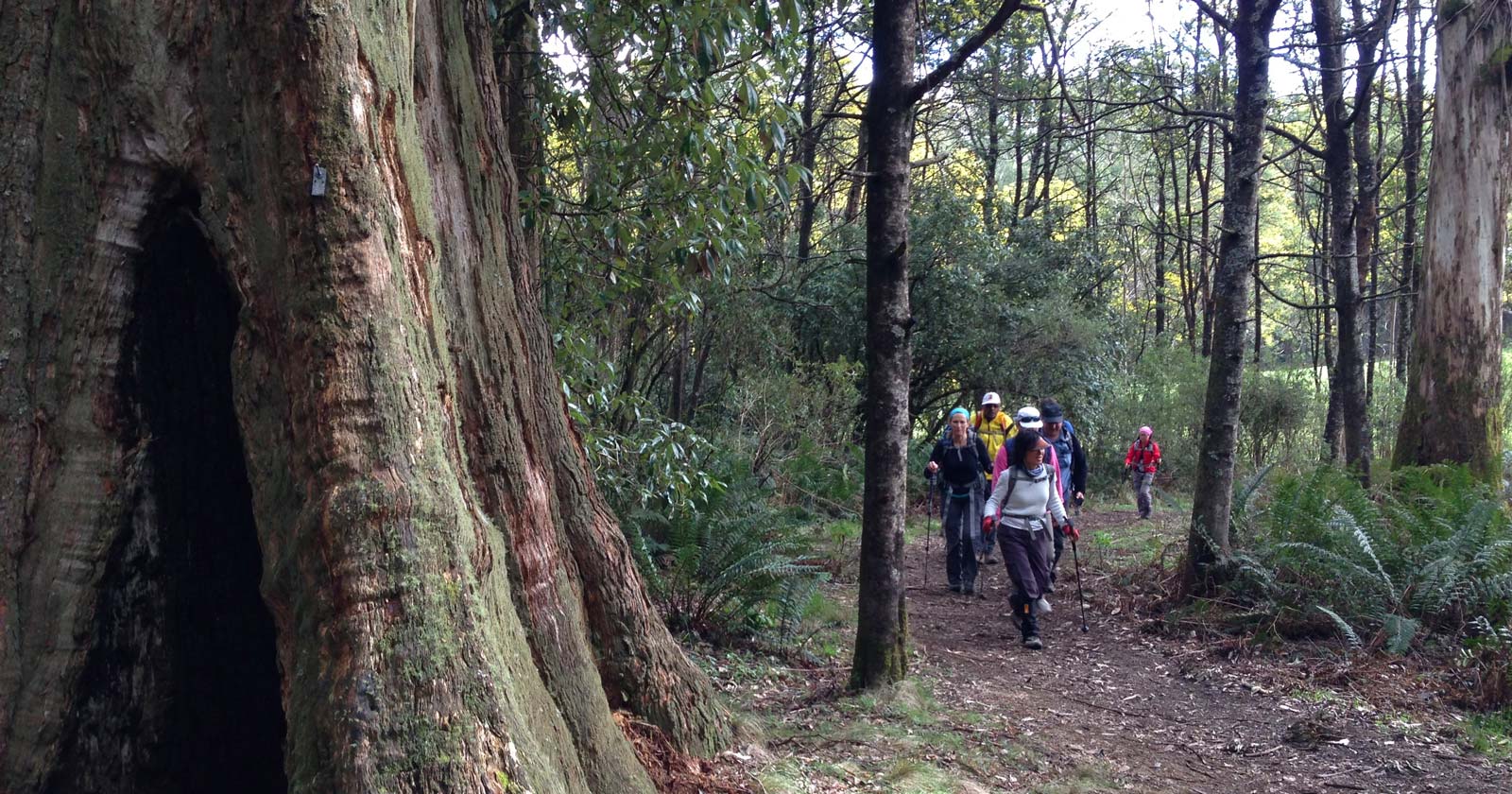
This route starts at the Mount Macedon Hotel, following a paved road onto a gravel trail before the climb properly begins, zig-zagging steeply up through the trees. The summit has the Memorial Cross and views over the surrounding country. From there the trail crosses the Western Face on flat ground through messmate forest, past fire trails, to McGregors Picnic Ground, a decent spot for lunch.
A side trip up Camels Hump adds more climbing and rocky outcrops with wide views, and Sanatorium Lake, a man-made lake with plenty of wildlife around it, sits along a well-formed track through dense forest further on. Mount Towrong is a short, sharp climb with its own views, followed by a steep, rocky descent back down to the valley. From there it’s rocky trail, then gravel road, then residential streets back to the Mount Macedon Hotel.
- Length: 19km
- Duration: 6-7 hours
- Grade: 3 (Moderate)
- Style: Circuit
> Start your adventure here: Macedon Ranges Walking Trail
10. Cathedral Range State Park
Cathedral & Jawbones Hike
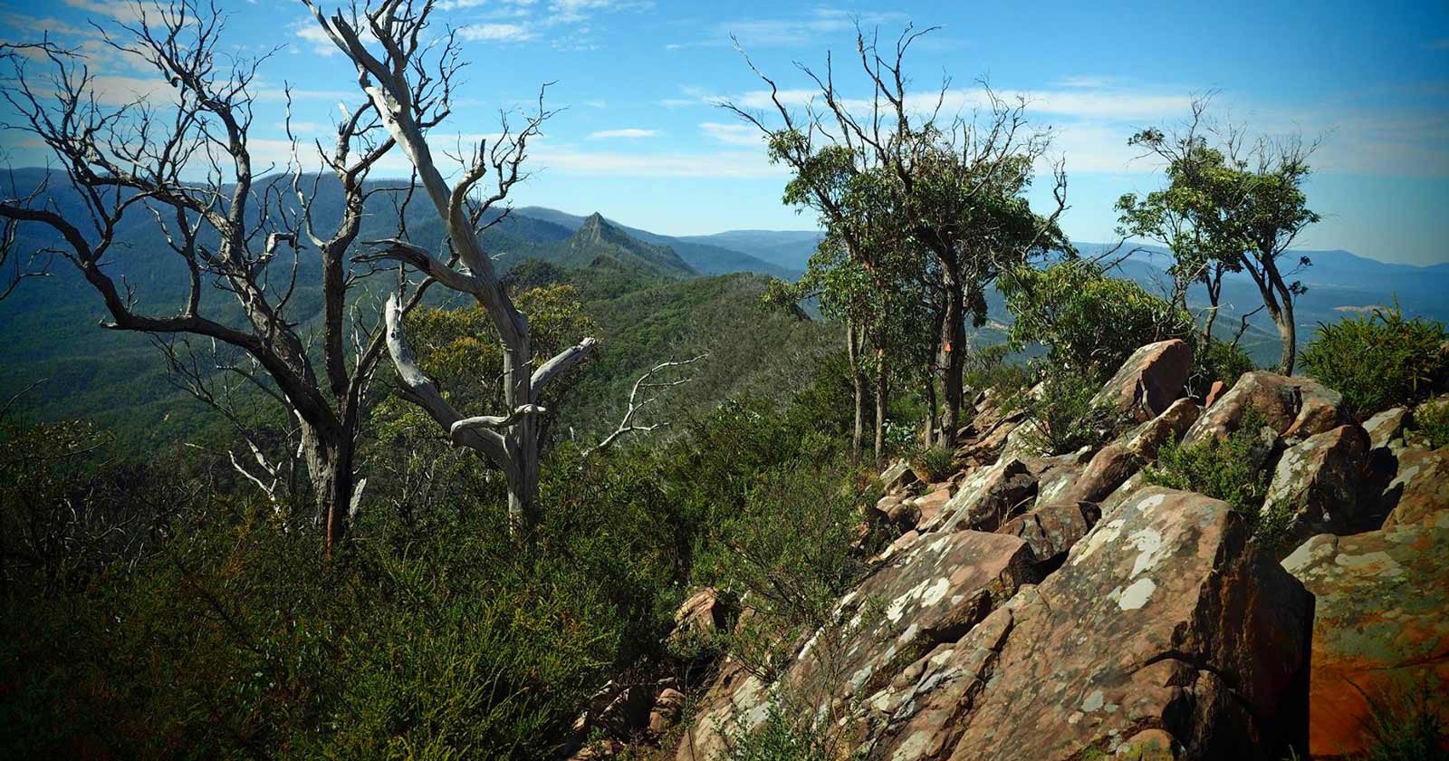
Cathedral Range is a genuinely challenging walk and worth the effort for it. It starts at the Neds Gully Campground car park, crossing the road onto the marked Neds Gully Track, which starts gently before steepening towards Neds Saddle and its sweeping views. A side trip to Neds Peak adds a bit more elevation and a wider outlook. From the saddle, the Cathedral Track is short but steep, leading to a ridge saddle, with an optional side trip out to Cathedral Peak if you want the extra views. South of there, the Ridge Track gets harder again, with rock scrambling and track markers to follow, but the views along the ridge are worth it.
At the 2-kilometre mark you’ll hit the North Jawbone Track junction. It’s a gentle descent then a climb to the peak and back, then left at the junction and right towards The Farmyard. South Jawbone Peak is a further climb with its own views, then it’s back to The Farmyard and right at the junction, down a steep but clear trail into the valley. After a kilometre you’ll reach the Jawbone Carpark, where the Saint Bernards Track heads off on the left for about a kilometre to Cooks Mill. From there the Little River Track runs near the campsite, first through trees then along a dirt road for about three-quarters of a kilometre, before re-entering the bush for the walk back to the Neds Gully Carpark.
- Length: 13km
- Duration: 5 hours
- Grade: 4 (Hard)
- Style: Circuit
> Start your adventure here: Cathedral & Jawbones Hike
That’s ten day hikes within a reasonable drive of Melbourne, covering coastline, gorges, alpine forest, and everything in between. From the clifftops of Mornington Peninsula to the ridgelines of the Cathedral Ranges, each one offers something different, so pick based on the distance and difficulty that suits you.
Whichever one you choose, check current conditions and the weather and bushfire alerts beforehand, stay on marked trails, and leave no trace. Most importantly, let someone know before you go.




Anita L Stuart, we can add these to our list.
Beautiful walks for many abilities.
There are so many beautiful walks. It was hard to choose 10 so I tried to suggest some of the lesser known ones.
Are you drumming up some work for us Darren? 😃
Russel Wells yeah things seem to have been quiet of late.
What’s your favourite hiking spot near Melbourne, and what makes it special for you?
Probably Mt Macedon. Up to the Cross from Bawden Rd, then circumnavigate the summit, following the MRWT, ultimately descending down Zig Zag Track, past Orde Reservoir, and hence back to the car. Love the varied flora, almost European in places. Much of the track is under canopy, so can be done comfortably on most summer days. Other favourites include: Four Brothers Rocks, Andrews Hill Circuit, Wilhelmina Falls, and Bells / Ironbark Basin / beach return.
Al Morkans I like all your suggestions. Bells Ironbark is a nice change of pace.