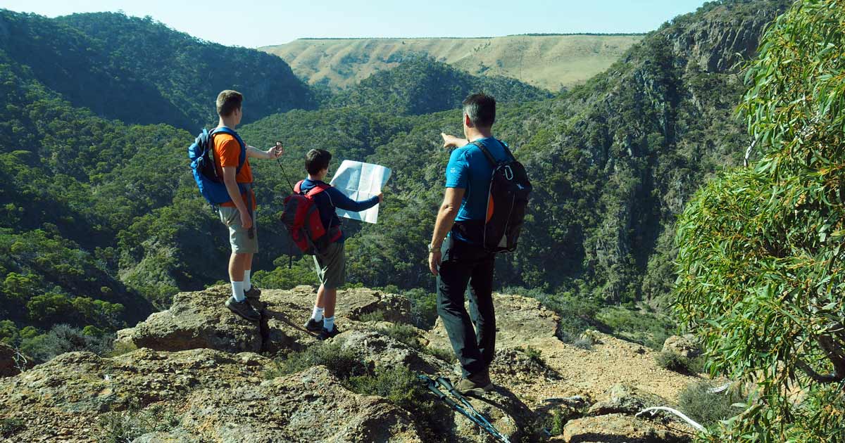
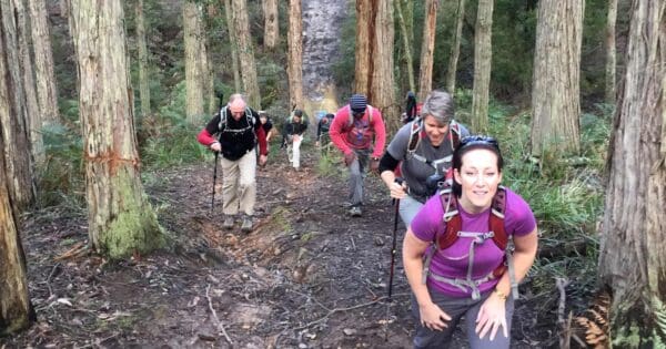
Australia’s vast and diverse landscapes, from sun-kissed coastal trails to rugged mountain ranges, offer a wealth of hiking opportunities for outdoor enthusiasts. However, venturing into the Australian wilderness requires more than just basic navigation skills. Experienced hikers and those seeking to explore more remote areas should consider incorporating advanced navigation techniques into their repertoire. Here’s a quick rundown on some advanced navigation techniques.

1. Triangulation: Locating your position by landmarks
Triangulation is a fundamental navigation technique that utilises prominent landmarks to determine your position. This method involves identifying three non-collinear landmarks visible from your current location. By measuring the angles between each landmark and your position, you can calculate the distances to each landmark using trigonometry.
To effectively employ triangulation, choose landmarks that are clearly recognisable, well-defined, and located at a reasonable distance from each other. A map and compass are essential tools for measuring angles and distances accurately. Once you have calculated the distances, plot them on your map to determine your position.
Triangulation is particularly useful in areas with limited visibility or when electronic devices are unreliable. It is a versatile technique applicable to a variety of terrains and conditions, making it a valuable tool for experienced hikers.

2. Celestial navigation: Guiding by the stars
Celestial navigation, the art of using celestial bodies to determine your position, has been employed by seafarers for centuries. While GPS devices have largely replaced celestial navigation at sea, the technique remains a fascinating and practical skill for experienced hikers.
Celestial navigation is the practice of finding one’s position on Earth by measuring the altitude of celestial bodies above the horizon. This can be done using specialized instruments such as a sextant, or by using manual techniques. Celestial navigation requires a deep understanding of astronomy, including the celestial sphere, coordinate systems, and the movement of celestial bodies. It also demands proficiency in using specialised instruments or performing mathematical calculations.
While specialised instruments can make celestial navigation more accurate, they are not strictly necessary, especially for hikers. In fact, there are a number of manual techniques that can be used to estimate one’s position. For example, by observing the rising and setting of the sun, one can determine their approximate latitude. Additionally, by observing the stars at night, one can determine their approximate longitude.
Manual techniques for celestial navigation are not as accurate as those that use specialised instruments. However, they can be a valuable tool for hikers and and outdoor enthusiasts who are not likely to have access to or be carrying sophisticated equipment.
While celestial navigation is not as widely used among hikers as other techniques, it offers a unique and traditional approach to navigation. It is a valuable skill for those seeking to venture into remote areas where electronic devices are unreliable or for those who appreciate the historical significance of this ancient technique. Find out more about navigating using the stars and moon here.

3. Dead reckoning: Maintaining your course
Dead reckoning is a navigation technique that involves estimating your position based on your starting point, direction, and speed. This method is particularly useful for maintaining a consistent course over a known distance, especially in open terrain.
To use dead reckoning effectively, you must have a reliable compass to maintain direction and a means to measure your speed, such as a GPS device or a pacing chart. Regularly check your progress against a map to ensure you are on track. Dead reckoning is a simple and straightforward technique, but it relies on accurate estimations of direction and speed. It is important to account for factors that can affect your direction, such as wind drift or magnetic variation, and to adjust your speed accordingly.
While dead reckoning may not be the most precise navigation technique, it is a valuable tool for hikers who need to maintain a general direction and estimate their position when other methods are unavailable. It is a practical technique for traversing open terrain, such as deserts or grasslands.
Expanding your navigation expertise: Embracing advanced techniques
Triangulation, celestial navigation, and dead reckoning represent a range of advanced navigation techniques that can enhance your skills and expand your hiking experience. These techniques require practice, patience, and a willingness to learn new concepts. As you master these techniques, you will gain confidence in your ability to navigate in challenging environments and remote areas.
Remember, even with advanced navigation skills, it is crucial to remain prepared for unexpected circumstances. Carry essential gear, practice Leave No Trace principles, and be mindful of weather conditions. With thorough preparation, advanced navigation techniques can transform your hiking experiences, allowing you to explore the wilderness with confidence and a deeper appreciation for the natural world.


