Follow the ancient wandering trails of Australia's coastal emus on the multi-day Yuraygir coastal walk.
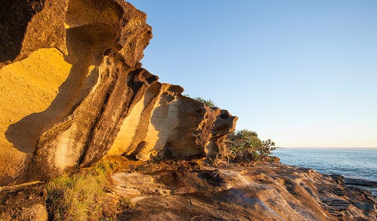
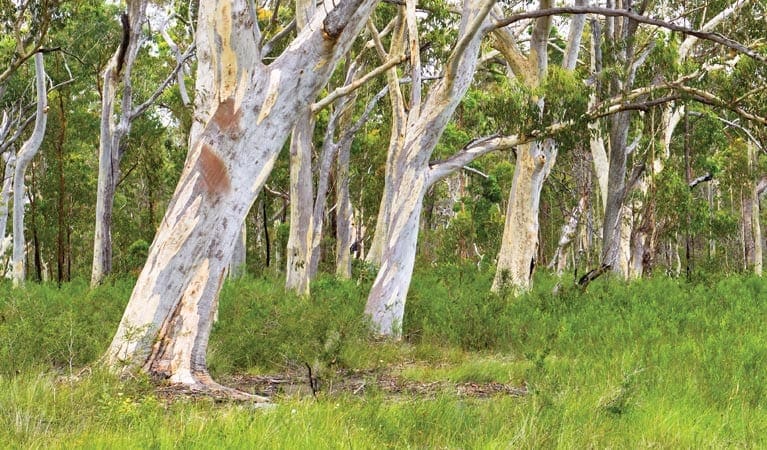
This colossal signposted track traverses the coastline from Angourie to Red Rock. The scenery and views along the way are diverse and astounding. You'll encounter wildlife and wildflowers as you walk past heathland plains, long sandy beaches, tranquil creeks, lagoons, rocky headlands and even a marine park.
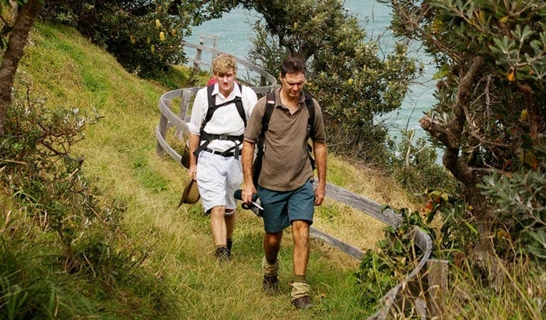
Tackle the full 65km with overnight camping stops along the way or break the track up into shorter segments. It's best walked north to south with the sun at your back.
However you choose to undertake this journey through the traditional homelands of the Gumbaynggirr and Yaegl nations, it's unlikely you'll ever forget it.
Take a virtual tour of Yuraygir coastal walk captured with Google Street View Trekker.
The walk involves a series of tracks, trails, beaches and rock platforms that are linked by following the 'coastal emu footprint' marker
Check a to ensure you're only crossing rock platforms at low tide
Rough seas mean you may need to carry extra food as some sections of beach are unpassable, even at low tide.
Visit NSW National Parks and Wildlife Service for more information on this trail.
The longitude and latitude of the start and end points are approximately only and should not be used for navigation purposes. Please contact me if you know the correct coordinates.
Got some great shots from this hike? Upload your photos here to inspire others and show off the beauty of the trail!
Submitting your photos doesn’t mean you lose ownership. You can be credited for your contributions, and you can request removal at any time.
Please don’t copy GPX files or content from this site to AllTrails or other platforms. Each trail has been personally mapped, documented, and refined to support Australia’s bushwalking and hiking community. While some details come from land managers, every listing reflects significant personal effort. This is a free, community-driven initiative—your respect helps keep it that way.
It looks like I don’t have a GPX file for this trail yet. If you have one to share, please email it to me! I’ll verify it against official maps before adding it to help other hikers have a safer, easier experience. Thanks for contributing to a better hiking resource.
Getting there
Getting to the trailhead: Yuraygir National Park.
To Poinsetia Crescent access. The Yuraygir coastal walk commences from the Angourie Surfing Reserve at the northern end of Yuraygir National Park.To get there from Yamba, turn right onto River Street, then, at the roundabout, take the first exit onto Wooli Street. At the next roundabout, take the first exit to Angourie Street, then turn left onto The Crescent and follow the signs to the beach. Park entry points Poinsetia Crescent access See on map Red Rock boat ramp access See on map Wooli access See on map Parking Parking is available at Angourie Surfing Reserve
Closest towns to this walk: Brooms Head, Grafton, Gulmarrad, Iluka, Maclean, Wooloweyah, Yamba
Similar walks nearby
Looking for more walks in or near Yuraygir National Park? Try these trails with a similar difficulty grade.
Favourite

Favourite

Favourite

Favourite

Track grade
Grade 4 (Hard) -
Challenging Walks for Experienced Walkers: Grade 4 on the
AWTGS signifies challenging walking tracks. Bushwalking experience is recommended for these tracks, which may be long, rough, and very steep. Directional signage may be limited, requiring a good sense of navigation. These walks are suited for experienced walkers who are comfortable with steeper inclines, rougher terrain, and potentially longer distances.
Explore safe
Plan ahead and hike safely! Carry enough water, pack layers for changing conditions, and bring safety gear like a torch, PLB, and reliable communication device. Check official sources for trail updates, closures, and access requirements, and review local weather and bushfire advice. Most importantly, share your plans with someone before you go. Being prepared makes for a safer and more enjoyable hike! Stay Safe, Explore More, and Always #ExploreSafe.
Packing checklists
What you carry in your pack depends on factors like weather, terrain, and your adventure type. Not sure what to bring? My free planning, food, and packing checklists are a great starting point, covering day hikes, overnight trips, and multi-day adventures. Use them to customise your kit and always prioritise safety.
Let someone know
Before heading out, take a moment to fill out your trip intentions form. It’s a quick way to share your hike details with family or friends. If something goes wrong, they can notify emergency services, ensuring a faster response and peace of mind. Stay safe and enjoy your adventure
Suggest an edit
Spotted a change on this trail? Maybe there are new features, the route has shifted, or the trail is permanently closed. Whatever the update, I’d love your input. Your feedback helps fellow hikers stay informed and ensures that our trail info stays fresh and reliable.


