Hike at a Glance
Max elevation: 0m
Min elevation: 0m
Total Ascent: 0m
Hike overview
This is a 4 day multi grade coastal trail. Difficult in sections because of the terrain.
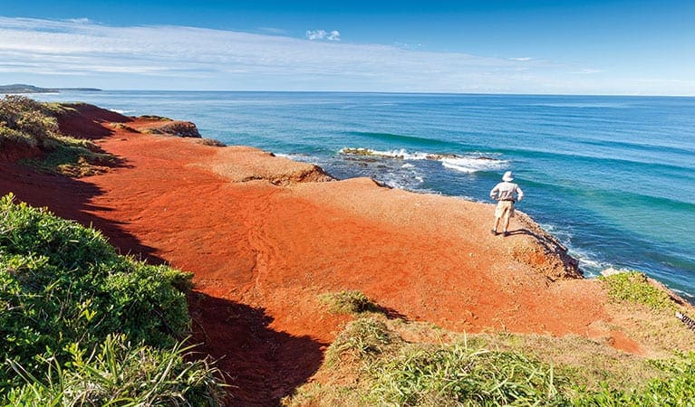
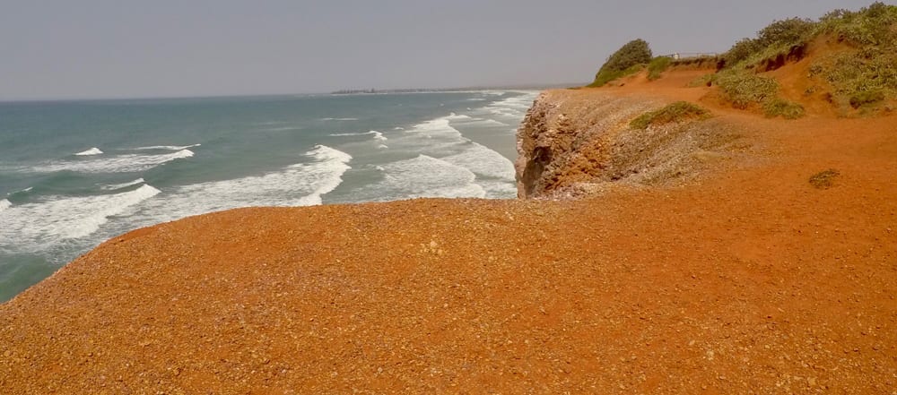
Day 1 the trail begins at Angourie NSW, a small coastal village. We dropped a car here. The first leg is approx 18km to Brooms Head, some of it over headland but predominately on the beach. You can bush camp at Lake Aragon, 5kms out of Brooms Head or continue to Brooms Head to camp at the local c'van Park. Brooms Head is a beautiful small village with a shop, club where you buy dinner etc.
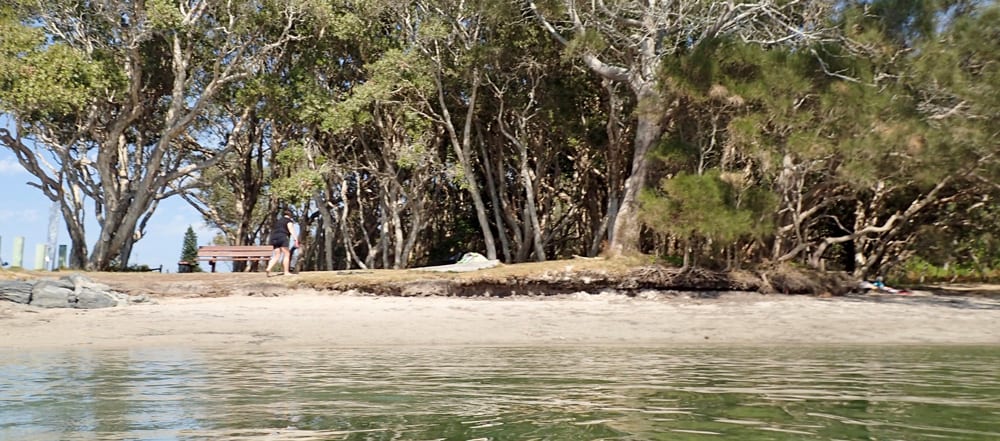
Day 2 is Brooms Head to Minnie Waters, all coastal beach walking. Can be a tough 18kms in soft sand & headwind. You must get a River crossing ($10) across the Sandon River 5km from Brooms Head. Finish at Minnie Waters, a fantastic little coastal town with a great shop that serves food & coffee. We stayed at the Minnie Waters c'van Park, very clean & lovely helpful people. You can get a courtesy bus from there to Wooli pub & back for dinner.
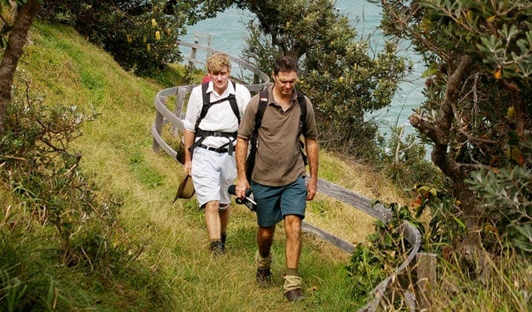
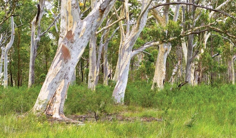
Day 3 Minnie Waters to Wooli, very pretty, around 15kms. Up over the headland & through the bush, yellow tailed Black Cockatoos in the trees above you eating & chatting. The last 5kms back on the beach through Diggers Camp. Wooli has a c'van Park right next to the pub and another one next to the local primary school. Nice cafe near the primary school, serves great coffee & fresh muffins as well as lunch goods.
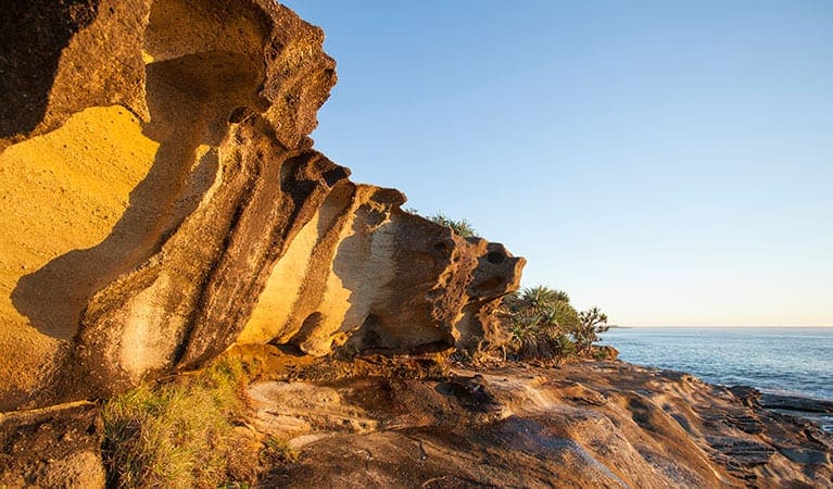
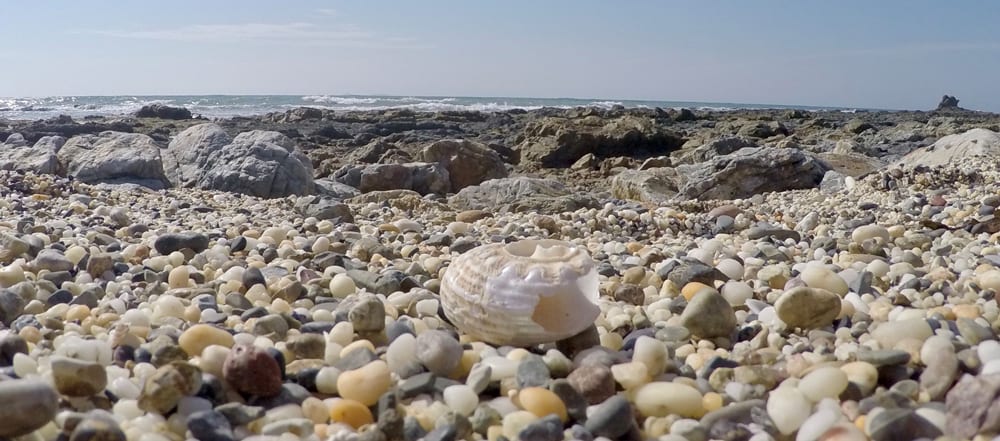
Day 4 Wooli to Red Rock about 15kms. This is the most remote section of the trail. You must get a boat crossing across the Wooli Wooli River at the start & another across at Red Rock. The trail itself is rock scrambling for about half of it, then beach walking on Pebbly Beach the other half. Both are tough & sturdy boots are recommended. The scenery here is stunning. You must do the rocky section at low tide or you will have to go up over the headland numerous times (no fun) you can stay at the Pebbly Beach (Nat'l Park) which is beautiful & right on the beach) but over priced $12 pp, for nothing more than a dirt patch & a pit toilet. 5 kms on is Red Rock, a stunning little spot with a beautiful caravan park that has great food & service. You need a boat transfer here. All boat transfers can be organised by getting on the National Parks website where phone numbers are provided. There is no cost to walk this trail.
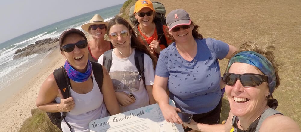
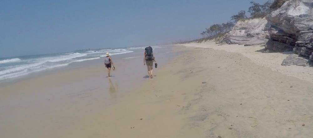
Hike and images contributed by Cheryl Morton
Tips
- Very little fresh water available in the trail, recommended you fill up at least 2 litres for drinking (more if you are cooking) at each overnight stop.
- Sturdy walking shoes, not sandals are preferable especially the last day
- The walk involves a series of tracks, trails, beaches and rock platforms that are linked by following the 'coastal emu footprint' marker
- Check a to ensure you're only crossing rock platforms at low tide
- Rough seas mean you may need to carry extra food as some sections of beach are unpassable, even at low tide.
Gallery
Got some great shots from this hike? Upload your photos here to inspire others and show off the beauty of the trail!
Click to view form >>
Submitting your photos doesn’t mean you lose ownership. You can be credited for your contributions, and you can request removal at any time.
Content use
Please don’t copy GPX files or content from this site to AllTrails or other platforms. Each trail has been personally mapped, documented, and refined to support Australia’s bushwalking and hiking community. While some details come from land managers, every listing reflects significant personal effort. This is a free, community-driven initiative—your respect helps keep it that way.
Walk map and GPX file
It looks like I don’t have a GPX file for this trail yet. If you have one to share, please email it to me! I’ll verify it against official maps before adding it to help other hikers have a safer, easier experience. Thanks for contributing to a better hiking resource.
Getting there
Getting to the trailhead: Yuraygir National Park.
Fly into Ballina, then drive to Angourie (about 1.5 hours) Trail is well marked but maps are available on the National parks website
Closest towns to this walk: Brooms Head, Grafton, Gulmarrad, Iluka, Maclean, Wooloweyah, Yamba
Similar walks nearby
Looking for more walks in or near Yuraygir National Park? Try these trails with a similar difficulty grade.
Track grade
Grade 4 (Hard) - Challenging Walks for Experienced Walkers: Grade 4 on the AWTGS signifies challenging walking tracks. Bushwalking experience is recommended for these tracks, which may be long, rough, and very steep. Directional signage may be limited, requiring a good sense of navigation. These walks are suited for experienced walkers who are comfortable with steeper inclines, rougher terrain, and potentially longer distances.
Explore safe
Plan ahead and hike safely! Carry enough water, pack layers for changing conditions, and bring safety gear like a torch, PLB, and reliable communication device. Check official sources for trail updates, closures, and access requirements, and review local weather and bushfire advice. Most importantly, share your plans with someone before you go. Being prepared makes for a safer and more enjoyable hike! Stay Safe, Explore More, and Always #ExploreSafe.
Packing checklists
What you carry in your pack depends on factors like weather, terrain, and your adventure type. Not sure what to bring? My free planning, food, and packing checklists are a great starting point, covering day hikes, overnight trips, and multi-day adventures. Use them to customise your kit and always prioritise safety.
Let someone know
Before heading out, take a moment to fill out your trip intentions form. It’s a quick way to share your hike details with family or friends. If something goes wrong, they can notify emergency services, ensuring a faster response and peace of mind. Stay safe and enjoy your adventure
Suggest an edit
Spotted a change on this trail? Maybe there are new features, the route has shifted, or the trail is permanently closed. Whatever the update, I’d love your input. Your feedback helps fellow hikers stay informed and ensures that our trail info stays fresh and reliable.
Acknowledgement of Country
Trail Hiking Australia acknowledges the Traditional Owners of the lands on which we hike and pay respects to their Elders, past and present, and we acknowledge the First Nations people of other communities who may be here today.
