Red Sandstone Gorges and River Country at Nitmiluk
Overview
Nitmiluk National Park sits in sandstone country on the southern part of the Arnhem Land Plateau, a short drive from Katherine and about 310 km south of Darwin. It covers about 295,000 hectares and includes sections of the Katherine, Ferguson, Edith and King rivers, with broad valleys, deep gullies and escarpments shaping much of the landscape.
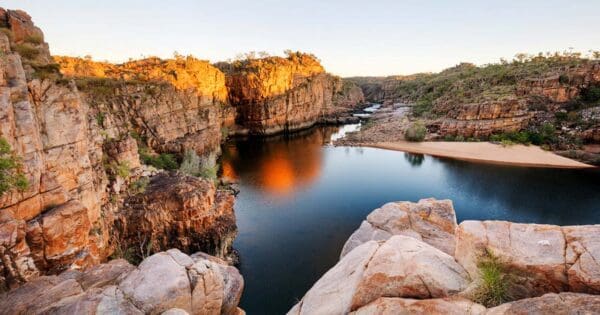
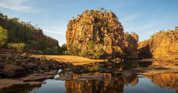
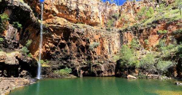
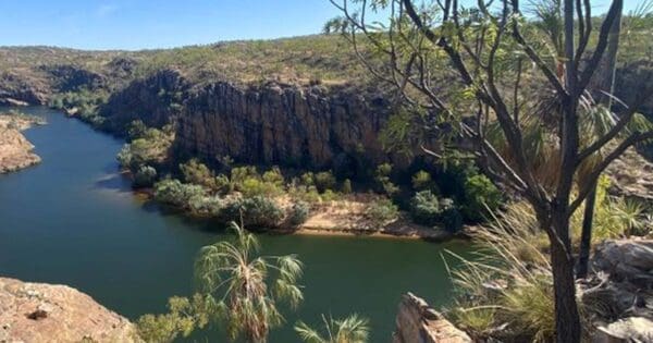
The best-known part of the park is Nitmiluk Gorge, a 13 kilometre gorge system carved through red sandstone cliffs that rise to around 100 metres above the river in places. On the western side of the park, Leliyn adds a different feel, with permanent water and a more open river setting.
Highlights
The scenery here is defined by water cutting through ancient sandstone. Nitmiluk Gorge is the centrepiece, with sheer cliffs, narrow river bends and long stretches where the rock walls press in close above the Katherine River. From the escarpment and plateau country, the park opens out into broad views over broken stone country and winding river corridors.
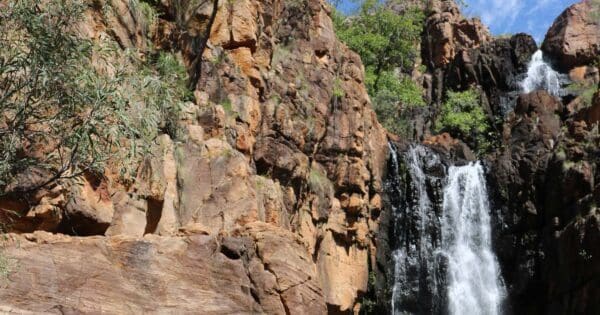
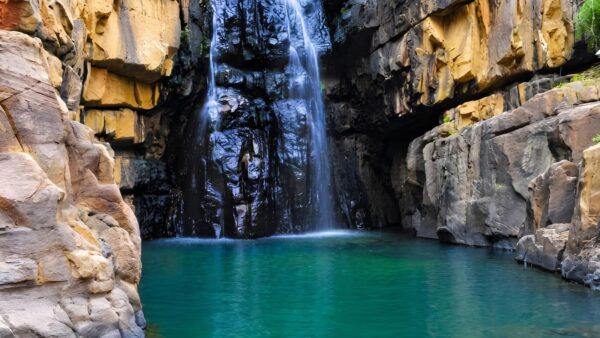
Beyond the main gorge, the park’s character changes from one area to the next. There are sheltered gullies, creek lines and spring-fed pockets tucked into the sandstone, while places such as Leliyn show the softer side of the landscape, where cascades and pools sit against the same rugged backdrop.
Best Time to Visit
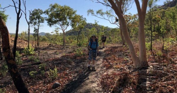
The drier months are generally when the park is at its easiest to appreciate on foot, with more reliable access to the gorge and plateau country and cooler conditions than the build-up and Wet. Early in the dry can be especially appealing when water is still lingering in side gorges and creek lines after the rains.
The Wet season brings a very different look, with swollen rivers and flowing water reshaping the park’s main features. If you are choosing a time purely for landscape and walking conditions, the dry season is usually the better fit, while the months after the Wet can be the most dramatic for water in the system.
Plants and Animals
Nitmiluk protects an important mix of habitats. Its sandstone shrubland country supports many plants that are endemic to the western Arnhem Land plateau, along with rare and poorly known species. Some of the shrubland communities in this stone country are nationally threatened.
In the gorges, small patches of monsoon rainforest survive where sandstone walls, springs and soaks create sheltered, moister conditions. These pockets act as refuges for wildlife in an otherwise strongly seasonal landscape. The park also supports threatened fauna, including the Gouldian finch, and its river systems and plateau drainage lines are a big part of what keeps those habitats connected.
Culture and Heritage
Nitmiluk National Park is Jawoyn country, and the park is jointly managed through the Nitmiluk Board. Jawoyn Traditional Owners remain closely connected to this place through law, story, language and responsibility for country.
That connection is visible across the landscape. Ancient songlines run through the park, sacred sites are part of the country itself, and rock art sites are present within the gorge and sandstone landscape. Leliyn is also identified as a sacred site.