Granite Domes, Balancing Boulders and Spring Wildflowers at Girraween
Overview
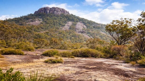
Girraween National Park sits on Queensland’s Granite Belt near the New South Wales border, about 260km south-west of Brisbane and 26km south of Stanthorpe. Covering 11,800ha, it protects a striking section of the northern New England Tableland where granite shapes almost everything you see, from broad domes and broken tors to clear creeks, ridges and sheltered valleys.
The park’s character comes from the contrast between hard stone and surprisingly varied plant communities. Eucalypt forest, sedgelands and heathlands spread across the granite country, giving Girraween a feel that shifts with the season, from crisp winter light to the colour of the wildflower months.
Highlights
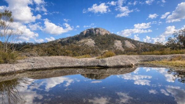
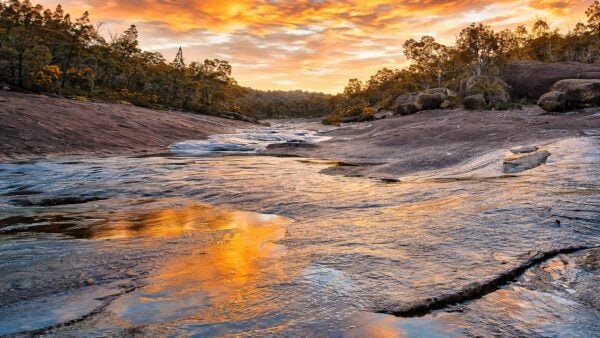
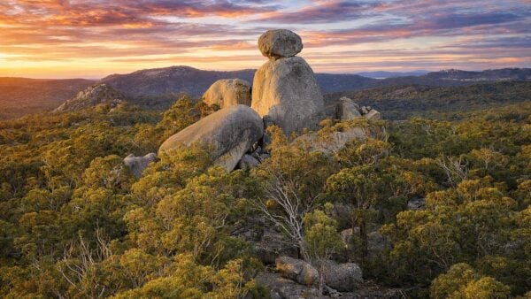
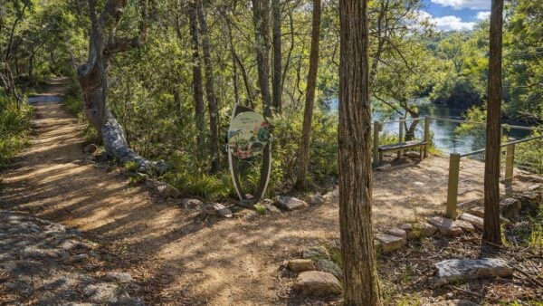
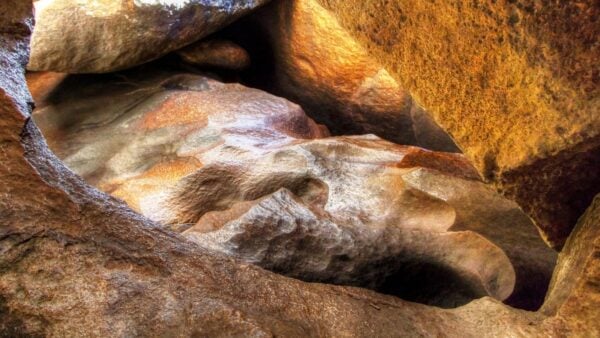
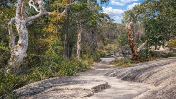
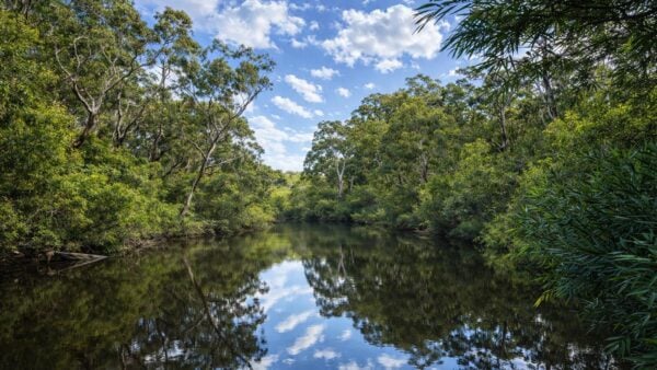
What stays with most people here is the granite. Massive outcrops, balancing boulders, ridgelines and water-worn creek lines give the park a rugged, open look that is quite different from the heavier forests found elsewhere in south-east Queensland. The escarpments and higher ridges add to that sense of space, while cascades and clear streams soften the landscape between the rock formations.
Spring is especially memorable, when wildflowers appear across the granite country and heath. It is a park known as much for seasonal colour as for its rock scenery, and the two often sit side by side in the same view.
Best Time to Visit
The most popular time to be here is spring, when the wildflower display builds from late July and is usually at its richest through September and October. That is when delicate heath bells, pea flowers, trigger plants, billy-buttons and daisies bring extra colour to the granite slopes and open ground.
Outside spring, Girraween is still a rewarding place simply because the seasons show clearly in the landscape. Cooler months tend to suit longer days out, while the changing light across the granite gives the park a different mood at different times of year.
Plants and Animals
Girraween supports eucalypt forest along with sedgelands and heathlands, including heath and shrubland communities on exposed granite outcrops. Those plant communities help explain why the park feels so varied from one area to the next, even within a relatively compact part of the Granite Belt.
The park also supports a notable mix of wildlife, including species listed as near threatened, vulnerable or endangered. Among the better known animals recorded here are the superb lyrebird, common wombat, turquoise parrot, border thick-tailed gecko and Bell’s turtle.
Culture and Heritage
First Nations people have lived, hunted and gathered in the Girraween area for countless generations, and the park and surrounding country retain significant cultural values. Recorded traces include camping places, rock markings, tools and marked trees. The Granite Belt also lay on a pathway used by Traditional Owners travelling between northern New South Wales and the Bunya Mountains for bunya gatherings.
The park’s more recent history is tied to conservation as well as settlement. Earlier protected areas at Bald Rock Creek and Castle Rock were brought together in 1966 to form today’s Girraween National Park, building on local efforts to protect habitat for species such as the superb lyrebird and common wombat.