Hike at a Glance
Max elevation: 382m
Min elevation: 80m
Total Ascent: 422m
Hike overview
Honeyeater lookout is a short walk from the Airlie Beach main street. The Honeyeater Lookout starts at Kara Crescent which is a 15-20 minute walk from Airlie Beach and can be accessed by foot or car. It's best to start the walk from the main street, as the parking near the start of the walk is limited and suggested for local traffic only.
The main track has been upgraded as of September 2021 for use in all weather. Although the track is in very good condition, closed footwear is advised. Most parts of the track is loose gravel, and in some spots are large rocks which can be easily walked over.
Honeyeater Lookout trail is quite steep at the start of the trail, so make sure to keep hydrated and bring enough water for a 3 hour return hike. The first 30 minutes of the trail is the steepest with the rest of the uphill walk relatively easy, and allows for a much needed recovery from the start of the trail.
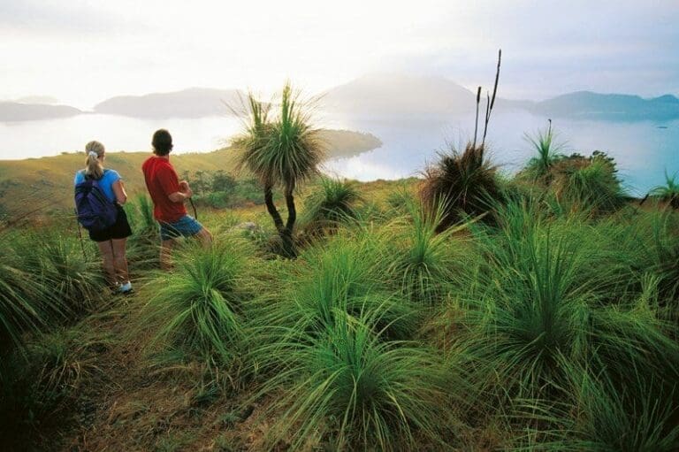
When you reach the lookout, you are greeted with an expansive view over Cannonvale and Airlie Beach and the Coral Sea Marina. Return to Kara Crescent the way you came.
Tips
Be prepared from some steep uphill sections, a high level of fitness is required. If you are looking at walking the Honeyeater Lookout trail in the morning, be sure to bring a head torch.
Content use
Please don’t copy GPX files or content from this site to AllTrails or other platforms. Each trail has been personally mapped, documented, and refined to support Australia’s bushwalking and hiking community. While some details come from land managers, every listing reflects significant personal effort. This is a free, community-driven initiative—your respect helps keep it that way.
Walk map and GPX file
Max elevation: 382 m
Min elevation: 80 m
Total climbing: 422 m
Total descent: -422 m
Getting there
Getting to the trailhead: Conway National Park.
Kara Crescent track entrance, Airlie Beach. Approximately 550m from Airlie Beach town centre.
Closest towns to this walk: Airlie Beach, Bowen, Cannonvale, Hamilton Island, Jubilee Pocket, Proserpine, Shute Harbour
About the region
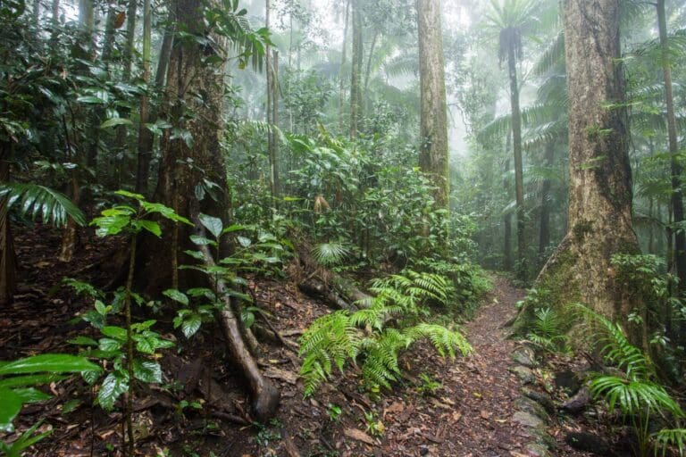
Conway National Park spans approximately 75km of coastline, taking in the entire Cape Conway peninsula. The park includes the rainforest-clad Conway Range, which protects the largest area of lowland tropical rainforest in Queensland outside Tropical North Queensland. Hoop pines grow on coastal ridges and in damp gullies, emerging above the rainforest canopy. Rugged, steep, rocky cliffs provide a spectacular 35km-long backdrop to the Whitsunday Passage and islands.
Dry vine thicket, mangroves, open forests with a grasstree understorey, paperbark and pandanus woodlands, and patches of lowland rainforest with twisted vines grow in the park. It is home to 2 of Australia's mound-building birds, the Australian brush-turkey and the orange-footed scrubfowl.
Rising steeply behind busy coastal settlements, the Conway Range appears impenetrable. Through climate fluctuations over tens of thousands of years, the rainforest has persisted here, providing a continuous refuge for wildlife.
The park's vegetation is very similar to that on the Whitsunday islands because thousands of years ago the sea level rose, drowning coastal valleys and creating the islands. For thousands of years, the Ngaro and Gia people roamed these forests, harvesting riches of the land and the adjoining sea country. Today the adjacent waters are protected in the Great Barrier Reef Marine Park
Similar walks nearby
Looking for more walks in or near Conway National Park? Try these trails with a similar difficulty grade.
Track grade
Grade 4 (Hard) - Challenging Walks for Experienced Walkers: Grade 4 on the AWTGS signifies challenging walking tracks. Bushwalking experience is recommended for these tracks, which may be long, rough, and very steep. Directional signage may be limited, requiring a good sense of navigation. These walks are suited for experienced walkers who are comfortable with steeper inclines, rougher terrain, and potentially longer distances.
Explore safe
Plan ahead and hike safely! Carry enough water, pack layers for changing conditions, and bring safety gear like a torch, PLB, and reliable communication device. Check official sources for trail updates, closures, and access requirements, and review local weather and bushfire advice. Most importantly, share your plans with someone before you go. Being prepared makes for a safer and more enjoyable hike! Stay Safe, Explore More, and Always #ExploreSafe.
Packing checklists
What you carry in your pack depends on factors like weather, terrain, and your adventure type. Not sure what to bring? My free planning, food, and packing checklists are a great starting point, covering day hikes, overnight trips, and multi-day adventures. Use them to customise your kit and always prioritise safety.
Let someone know
Before heading out, take a moment to fill out your trip intentions form. It’s a quick way to share your hike details with family or friends. If something goes wrong, they can notify emergency services, ensuring a faster response and peace of mind. Stay safe and enjoy your adventure
Suggest an edit
Spotted a change on this trail? Maybe there are new features, the route has shifted, or the trail is permanently closed. Whatever the update, I’d love your input. Your feedback helps fellow hikers stay informed and ensures that our trail info stays fresh and reliable.
Acknowledgement of Country
Trail Hiking Australia acknowledges the Traditional Owners of the lands on which we hike and pay respects to their Elders, past and present, and we acknowledge the First Nations people of other communities who may be here today.
/Honeyeater-Lookout-Walk%20(3).jpg)
/Honeyeater-Lookout-Walk%20(2).jpg)
/Honeyeater-Lookout-Walk%20(4).jpg)
/Honeyeater-Lookout-Walk%20(6).jpg)
/Honeyeater-Lookout-Walk%20(5).jpg)
/Honeyeater-Lookout-Walk%20(7).jpg)
/Honeyeater-Lookout-Walk%20(1).jpg)
/Honeyeater-Lookout-Walk%20(13).jpg)
/Honeyeater-Lookout-Walk%20(11).jpg)
/Honeyeater-Lookout-Walk%20(12).jpg)
/Honeyeater-Lookout-Walk%20(9).jpg)
/Honeyeater-Lookout-Walk%20(10).jpg)
/Honeyeater-Lookout-Walk%20(8).jpg)


9 Reviews on “Honeyeater Lookout Walk (7.5km)”
The walk from Kara Crescent is a solid mid-range hike, starting off a bit tougher with the first 2.3 km, which is mostly uphill but broken up by flatter sections to catch your breath. It’s a steady climb without being too relentless. Once you hit the top, the view is stunning and definitely makes the effort worthwhile. The last 1.8 km is much easier, a nice way to cool down. Overall, it’s a well-maintained track with clear signs, and you’ll get a good mix of challenging terrain and beautiful bushland along the way. Highly recommend if you’re up for a rewarding hike.