Trail Fast Facts
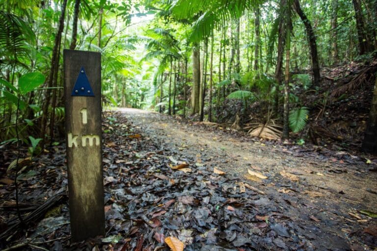
Cedar Grove Track is a 2.8km, grade 4 hike in Eungella National Park, Queensland. This hike typically takes 1.45 hours to complete.
Hike Overview
With more than 20 kilometres of walking tracks to explore, Eungella National Park is the perfect location to experience sub-tropical rainforest. It's one of Queensland's most ecologically diverse parks.
Track Grade
Grade 4 (Hard) - Challenging Walks for Experienced Walkers: Grade 4 on the AWTGS signifies challenging walking tracks. Bushwalking experience is recommended for these tracks, which may be long, rough, and very steep. Directional signage may be limited, requiring a good sense of navigation. These walks are suited for experienced walkers who are comfortable with steeper inclines, rougher terrain, and potentially longer distances.
Map and GPX file
Help fellow hikers navigate with confidence. Share your GPX or KML file for this trail and help build a more comprehensive resource with precise waypoints and elevation profiles. Your contribution will empower adventurers with details they need for a safer and more enjoyable experience. I meticulously verify every file using official maps and surveys, ensuring the highest level of accuracy and reliability. Submit your file now and become a trailblazer for your fellow outdoor enthusiasts.
Trailhead
Sorry, no records were found. Please adjust your search criteria and try again.
Sorry, unable to load the Maps API.
Photo gallery
If you have any photos from this hike and are happy to share them, please upload your .jpg files here.
Please note: Uploading photos does not transfer ownership of copyright away from you. If requested, you will be credited for any photos you provide and can ask they be deleted at any time.
About the region
Eungella (/?j????l?/ YUNG-gel-?; meaning "Land of the clouds") is an Australian township nestled on the edge of the Clarke Range at the end of the Pioneer Valley 80 km west of Mackay, and 858 km northwest of Brisbane. Eungella is noted for the national park which surrounds it. It is considered to be the longest continual stretch of sub-tropical rainforest in Australia. The original inhabitants are the Wirri people. The park is covered by dense rainforest and is known for its platypuses. Also, it has a dam that supplies water for Collinsville, Mackay and Moranbah.
For more information on this hiking trail, please visit Queensland.com
Similar trails nearby
Looking for things to do in Eungella National Park? Try these hikes or bushwalks.
Explore Safe
While planning your hike, it’s important to check official government sources for updated information, temporary closures and trail access requirements. Before hitting the trail, check local weather and bushfire advice for planned burns and bushfire warnings and let someone know before you go. Plan ahead and hike safely.
Let someone know
Adventure with peace of mind: Fill out your trip intentions form. Before you hit the trail, fill out an online form to privately send important details about your hike to your family or friends. If you don’t return on time, they can easily alert emergency services, preventing worry and ensuring a swift response. Hike with peace of mind and enjoy your outdoor adventure to the fullest. Be smart, be safe: Register your plans here.
Gear to consider
What you carry in your pack will depend on the weather, terrain, time of year, type of adventure, and personal preferences. Having trouble deciding what gear’s right for you? My free planning, food and packing checklists provide an introduction to things your could consider (as well as the Ten Essentials) on your day, overnight and multi-day adventures. Customise your kit according to your personal needs, always considering safety first.
Suggest an edit
Trail changed? New features discovered? Has the route changed? Trail permanently closed? Help fellow hikers by suggesting edits! Click above to update route descriptions, GPX file, trail features (like boardwalks), or access conditions (like parking availability). Help me keep the trails info fresh!
Weather
Acknowledgement of Country
Trail Hiking Australia acknowledges the Traditional Owners of the lands on which we hike and pay respects to their Elders, past and present, and we acknowledge the First Nations people of other communities who may be here today.


