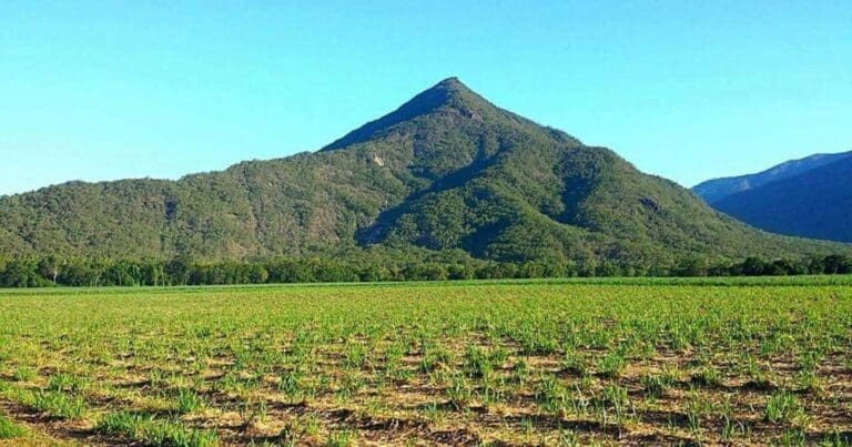
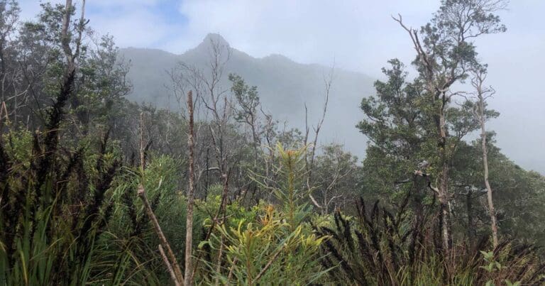
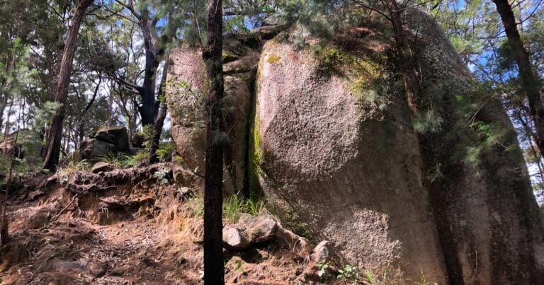
Discover the beauty of high-altitude rainforest on Koolmoon Creek Track, one of the four Misty Mountains Wilderness Walking Trails. Misty Mountains is a 130 kilometre network of short and long wilderness tracks through pristine Wet Tropics rainforest where you can enjoy crystal clear creeks, waterfalls and panoramic views as you explore the World Heritage area.
Got some great shots from this hike? Upload your photos here to inspire others and show off the beauty of the trail!
Submitting your photos doesn’t mean you lose ownership. You can be credited for your contributions, and you can request removal at any time.
Please don’t copy GPX files or content from this site to AllTrails or other platforms. Each trail has been personally mapped, documented, and refined to support Australia’s bushwalking and hiking community. While some details come from land managers, every listing reflects significant personal effort. This is a free, community-driven initiative—your respect helps keep it that way.
It looks like I don’t have a GPX file for this trail yet. If you have one to share, please email it to me! I’ll verify it against official maps before adding it to help other hikers have a safer, easier experience. Thanks for contributing to a better hiking resource.
Getting there
Getting to the trailhead: Atherton Tablelands.
Closest towns to this walk: Atherton, Malanda, Mareeba, Tolga, Yungaburra
About the region
The Atherton Tableland is a fertile plateau which is part of the Great Dividing Range in Queensland, Australia. It is located west to south-south-west inland from Cairns. Although it is in the tropical latitudes, its elevated position provides a climate suitable for dairy farming. It has an area of around 32,000 km2 with an altitude ranging between 500 and 1,280 m (1,640 and 4,200 ft). The fertility of the soils in the region can be attributed to the volcanic origins of the land.
The principal river flowing across the plateau is the Barron River. It was dammed to form an irrigation reservoir named Lake Tinaroo. Tinaroo Hydro, a small 1.6MW Hydroelectric power station is located near the spillway.
For more information on this hiking trail, please visit Queensland.com
Similar walks nearby
Looking for more walks in or near Atherton Tablelands? Try these trails with a similar difficulty grade.
Favourite

Wooroonooran National Park
Favourite

Wooroonooran National Park
Favourite

Favourite

Track grade
Grade 5 (Difficult) - Walks for the Most Experienced: Grade 5 represents the most challenging walking tracks on the
AWTGS. These are only recommended for very experienced and fit walkers with specialised skills, including navigation and emergency first aid. Tracks are likely to be very rough, very steep, and unmarked. Walks may be more than 20 kilometers. These challenging walks demand a high level of fitness and experience to navigate difficult terrain, significant elevation changes, and potentially unformed paths.
Explore safe
Plan ahead and hike safely! Carry enough water, pack layers for changing conditions, and bring safety gear like a torch, PLB, and reliable communication device. Check official sources for trail updates, closures, and access requirements, and review local weather and bushfire advice. Most importantly, share your plans with someone before you go. Being prepared makes for a safer and more enjoyable hike! Stay Safe, Explore More, and Always #ExploreSafe.
Packing checklists
What you carry in your pack depends on factors like weather, terrain, and your adventure type. Not sure what to bring? My free planning, food, and packing checklists are a great starting point, covering day hikes, overnight trips, and multi-day adventures. Use them to customise your kit and always prioritise safety.
Let someone know
Before heading out, take a moment to fill out your trip intentions form. It’s a quick way to share your hike details with family or friends. If something goes wrong, they can notify emergency services, ensuring a faster response and peace of mind. Stay safe and enjoy your adventure
Suggest an edit
Spotted a change on this trail? Maybe there are new features, the route has shifted, or the trail is permanently closed. Whatever the update, I’d love your input. Your feedback helps fellow hikers stay informed and ensures that our trail info stays fresh and reliable.


