Hike at a Glance
Max elevation: 883m
Min elevation: 31m
Total Ascent: 858m
Hike overview
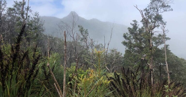
Walshs Pyramid is an independent peak, rising 922m, with a distinct pyramid appearance. There is a steep 6km return walking track to the summit. Walkers are rewarded with stunning views of the surrounding ranges and local landscape.
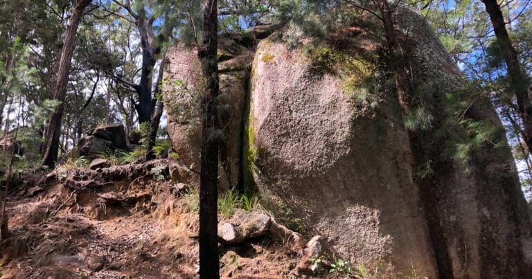
Situated at the northern end of Wooroonooran National Park, within the Wet Tropics World Heritage Area, Walshs Pyramid is a granite core left standing in the form of a pointed hill after older, less resistant metamorphic rocks were eroded away.
The track up Walshs Pyramid is steep and rocky, with stunted vegetation that offers no shade. Although a difficult track, walkers who make it to the summit are rewarded with stunning views of the surrounding ranges and local landscape. Return to the start of the walk via the same track. Walkers should take plenty of water, wear sunscreen and a hat, and start the walk in the morning to be sure of returning before it gets dark.
Wooroonooran National Park is open 24 hours a day. Walkers planning to climb Walshs Pyramid are urged to leave in the morning and allow plenty of time to return before dark. There are no wheelchair-accessible facilities.
During the wetter months, from December to April, there are frequent, heavy downpours. Maximum temperatures through the wet season generally range from 27–33°C, with high humidity.
The cooler, drier months from May to September are the best times for walking. The weather is pleasantly warm during this time, with reduced humidity and maximum temperatures averaging 26°C.
Tips
This is a strenuous walk suitable for fit walkers only. Consider your ability and track conditions before setting out.
Start walking in the morning and allow plenty of time to return before it gets dark.
Stay clear of cliff edges—serious injury or death may result from a fall.
Wear sunscreen, a hat and sunglasses to protect yourself from the sun.
Carry adequate drinking water—water is not available along the track.
Gallery
Got some great shots from this hike? Upload your photos here to inspire others and show off the beauty of the trail!
Click to view form >>
Submitting your photos doesn’t mean you lose ownership. You can be credited for your contributions, and you can request removal at any time.
Content use
Please don’t copy GPX files or content from this site to AllTrails or other platforms. Each trail has been personally mapped, documented, and refined to support Australia’s bushwalking and hiking community. While some details come from land managers, every listing reflects significant personal effort. This is a free, community-driven initiative—your respect helps keep it that way.
Walk map and GPX file
Max elevation: 883 m
Min elevation: 31 m
Total climbing: 858 m
Total descent: -858 m
Getting there
Getting to the trailhead: Wooroonooran National Park.
From Cairns travel 25km south along the Bruce Highway, past Gordonvale. About 800m south of the Mulgrave River bridge (Desmond Trannore bridge), turn right onto Moss Road. Follow the signs along this gravel road to the car park where the walking track begins.
Closest towns to this walk: Atherton, Bartle Frere, Innisfail, Malanda, Malbon, Mena Creek, Millaa Millaa, Ravenshoe, Tully
About the region
Wooroonooran National Park offers visitors a variety of recreational opportunities. Walshs Pyramid provides a challenging hiking trail not far from Cairns, while Goldsborough Valley offers opportunities for canoeing, mountain biking, walking and camping. Josephine Falls features a cascading waterfall and the beginning of the trail up Queensland’s highest peak—Bartle Frere, while Palmerston (Doongan) is renowned for beautiful rainforest, wild rivers, steep gorges, cascading waterfalls and the Mamu Tropical Skywalk
Similar walks nearby
Looking for more walks in or near Wooroonooran National Park? Try these trails with a similar difficulty grade.
Track grade
Grade 5 (Difficult) - Walks for the Most Experienced: Grade 5 represents the most challenging walking tracks on the AWTGS. These are only recommended for very experienced and fit walkers with specialised skills, including navigation and emergency first aid. Tracks are likely to be very rough, very steep, and unmarked. Walks may be more than 20 kilometers. These challenging walks demand a high level of fitness and experience to navigate difficult terrain, significant elevation changes, and potentially unformed paths.
Explore safe
Plan ahead and hike safely! Carry enough water, pack layers for changing conditions, and bring safety gear like a torch, PLB, and reliable communication device. Check official sources for trail updates, closures, and access requirements, and review local weather and bushfire advice. Most importantly, share your plans with someone before you go. Being prepared makes for a safer and more enjoyable hike! Stay Safe, Explore More, and Always #ExploreSafe.
Packing checklists
What you carry in your pack depends on factors like weather, terrain, and your adventure type. Not sure what to bring? My free planning, food, and packing checklists are a great starting point, covering day hikes, overnight trips, and multi-day adventures. Use them to customise your kit and always prioritise safety.
Let someone know
Before heading out, take a moment to fill out your trip intentions form. It’s a quick way to share your hike details with family or friends. If something goes wrong, they can notify emergency services, ensuring a faster response and peace of mind. Stay safe and enjoy your adventure
Suggest an edit
Spotted a change on this trail? Maybe there are new features, the route has shifted, or the trail is permanently closed. Whatever the update, I’d love your input. Your feedback helps fellow hikers stay informed and ensures that our trail info stays fresh and reliable.
Acknowledgement of Country
Trail Hiking Australia acknowledges the Traditional Owners of the lands on which we hike and pay respects to their Elders, past and present, and we acknowledge the First Nations people of other communities who may be here today.


