Hike at a Glance
Max elevation: 236m
Min elevation: 17m
Total Ascent: 117m
Hike overview
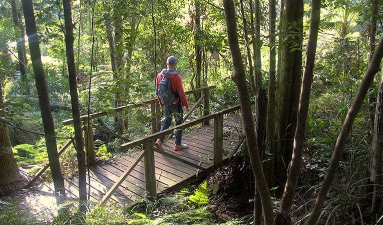
Uloola walking track is an 11km, grade 3 hike in Royal National Park, New South Wales, ideal for a day trip from Sydney. This picturesque trail, typically completed in around 5 hours, offers a serene escape just an hour from the city centre. The track weaves through the rugged highlands of the park, moving away from the bustle of civilisation and immersing hikers in nature. Uloola walking track is shared with mountain bikers, so visitors should remain mindful of cyclists along the way.
As the path continues past Couranga walking track, it opens into heathlands adorned with wildflowers in spring. The iconic gymea lily, with its tall stalks and striking red flowers, is especially prominent in warmer months. Following the ridge line, hikers are treated to expansive scenic views, with fascinating sandstone features, including a ‘whaleback’ formation, enhancing the landscape.
For those interested in extending their journey, the Uloola Falls campground provides a peaceful overnight stop near the cascading falls. From the campground, hikers can return to Heathcote along the Karloo walking track or continue toward Audley. Birdwatchers will appreciate the area’s diverse avian life, with the unique, hanging nest of the rock warbler often spotted beneath sandstone ledges.
Tips
- Park entry fees apply.
- Bring drinking water, a hat, and sunscreen.
- Check the weather before setting out, as the Uloola walking track can become boggy after rain.
- Pack binoculars if you plan to birdwatch along the trail.
Gallery
Got some great shots from this hike? Upload your photos here to inspire others and show off the beauty of the trail!
Click to view form >>
Submitting your photos doesn’t mean you lose ownership. You can be credited for your contributions, and you can request removal at any time.
Content use
Please don’t copy GPX files or content from this site to AllTrails or other platforms. Each trail has been personally mapped, documented, and refined to support Australia’s bushwalking and hiking community. While some details come from land managers, every listing reflects significant personal effort. This is a free, community-driven initiative—your respect helps keep it that way.
Walk map and GPX file
Max elevation: 236 m
Min elevation: 17 m
Total climbing: 117 m
Total descent: -330 m
Getting there
Getting to the trailhead: Royal National Park.
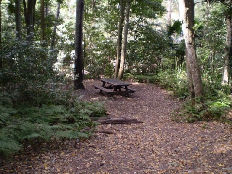
Uloola walking track is located in the western precinct of Royal National Park. To reach the trailhead from Waterfall, turn off the Princes Highway at Waterfall train station, where the trail begins at the rear of the station’s car park. Alternatively, for those starting from Audley, drive across Audley Weir, take a right turn after the Weir Café, and follow signs over Varneys Bridge to the Currawong Flat or Wattle Forest picnic areas, where the track also begins. Parking is available at both Waterfall train station and Audley, but spaces can be limited, especially on weekends.
Closest towns to this walk: Audley, Barden Ridge, Bundeena, Caringbah, Cronulla, Engadine, Heathcote, Helensburgh, Loftus, Maianbar, Menai, Miranda, Otford, Oyster Bay, Stanwell Park, Sutherland, Sylvania, Waterfall, Wattamolla, Wollongong, Woodenbong, Woronora, Woronora Heights
About the region
Located near Cronulla, just an hour’s drive from both Sydney and Wollongong, Royal National Park is a sprawling 16,000-hectare expanse of coastal cliffs, secluded beaches, lush rainforests, and tranquil rivers. Established in 1879, it holds the distinction of being the world’s second-oldest national park and remains a favourite destination for outdoor enthusiasts. Known locally as “the Nasho” or simply “the Royal,” this historic park offers an incredible variety of landscapes, making it a prime spot for walking, hiking, cycling, and countless other outdoor adventures.
From the towering sandstone cliffs along the Coast Track to the serene freshwater swimming holes of Karloo Pool, the park’s diverse terrain caters to all levels of walkers and hikers. Scenic bushwalks wind through dense eucalypt forests, past ancient Aboriginal rock engravings, and along windswept headlands where the ocean stretches endlessly to the horizon. Seasonal wildflowers bring bursts of colour to the landscape, while waterfalls cascade over rock ledges into pristine pools below. Whether you prefer a short family-friendly walk or a challenging full-day hike, Royal National Park offers trails suited to every experience level.
Beyond its network of tracks, the park is a playground for nature lovers. Picnic areas are scattered throughout, perfect for a relaxed lunch after a morning on the trails. Surfers flock to Garie Beach for its consistent waves, while birdwatchers can spot lyrebirds, black cockatoos, and sea eagles soaring overhead. In the cooler months, the clifftops provide one of the best vantage points for watching humpback whales as they migrate along the coast. Those looking to extend their visit can set up camp at North Era or book a stay in one of the historic cottages dotted throughout the park.
With its breathtaking scenery and wealth of outdoor activities, Royal National Park is an unforgettable destination for anyone seeking to explore New South Wales’ natural beauty.
Similar walks nearby
Looking for more walks in or near Royal National Park? Try these trails with a similar difficulty grade.
Track grade
Grade 3 (Moderate) - Walks for Most Fitness Levels: Grade 3 on the AWTGS represents moderate walking tracks. These are ideal for walkers with some fitness who are comfortable with some hills and uneven terrain. While suitable for most ages, some bushwalking experience is recommended to ensure a safe and enjoyable experience. Tracks may have short, steep hill sections, a rough surface, and many steps. The total distance of a Grade 3 walk can be up to 20 kilometers.
Explore safe
Plan ahead and hike safely! Carry enough water, pack layers for changing conditions, and bring safety gear like a torch, PLB, and reliable communication device. Check official sources for trail updates, closures, and access requirements, and review local weather and bushfire advice. Most importantly, share your plans with someone before you go. Being prepared makes for a safer and more enjoyable hike! Stay Safe, Explore More, and Always #ExploreSafe.
Packing checklists
What you carry in your pack depends on factors like weather, terrain, and your adventure type. Not sure what to bring? My free planning, food, and packing checklists are a great starting point, covering day hikes, overnight trips, and multi-day adventures. Use them to customise your kit and always prioritise safety.
Let someone know
Before heading out, take a moment to fill out your trip intentions form. It’s a quick way to share your hike details with family or friends. If something goes wrong, they can notify emergency services, ensuring a faster response and peace of mind. Stay safe and enjoy your adventure
Suggest an edit
Spotted a change on this trail? Maybe there are new features, the route has shifted, or the trail is permanently closed. Whatever the update, I’d love your input. Your feedback helps fellow hikers stay informed and ensures that our trail info stays fresh and reliable.
Acknowledgement of Country
Trail Hiking Australia acknowledges the Traditional Owners of the lands on which we hike and pay respects to their Elders, past and present, and we acknowledge the First Nations people of other communities who may be here today.


3 Reviews on “Uloola Walking Track (11km)”
This trail offers a variety of highlights, from stunning rock formations to peaceful sections surrounded by nature, with a few more challenging stretches along the way. The walk begins on a fire trail, which can feel a bit monotonous, especially with limited natural shade, but it soon rewards hikers with beautiful scenery. The section near Engadine is particularly striking, with lush bromeliads adding to the charm. The path from Audley can be tough on the knees due to its steepness, but it’s still manageable for most. Some parts of the trail can be muddy, so sturdy footwear is a must. The views, especially near the rock outcrops and Karloo Pool, make the occasional less-exciting sections worthwhile. Overall, it’s an enjoyable, moderately easy hike that showcases a diverse range of landscapes.