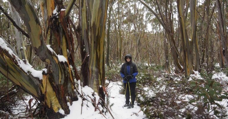
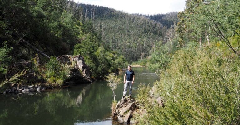
The hike to the summit of Mount St Gwinear in the Baw Baw National Park winds through heathland and snow gum forest from the Mount St Gwinear car park to the 1509m summit. The magnificent views, stretching across the valleys of the Thomson and Aberfeldy Rivers and into the Victorian Alps, are a perfect reward. This hike extends 1km beyond the summit, through Gwinear Flat to a natural granite rock shelter at the junction of the Australian Alpine Walking Trail. This is a great spot to relax for lunch before returning via the same route.
Snow camping
Dispersed camping is permitted on the Baw Baw Plateau except in the Reference Area Zone and within 20 metres of streams and alpine bogs.
- Parks facilities
- Heated shelter room
- Toilets with disabled facilities
- Two toboggan runs
- 12km of cross country trails
- Professional ski patrol
- Hot and cold drinks and snacks are available on weekends and school holidays from a food van.
- No charge to enter the park
- No charge for car parking
Please don’t copy GPX files or content from this site to AllTrails or other platforms. Each trail has been personally mapped, documented, and refined to support Australia’s bushwalking and hiking community. While some details come from land managers, every listing reflects significant personal effort. This is a free, community-driven initiative—your respect helps keep it that way.
Total distance: 7924 m
Max elevation: 1500 m
Min elevation: 1290 m
Total climbing: 320 m
Total descent: -327 m
Getting there
Getting to the trailhead: Baw Baw National Park.
Mount St Gwinear is located on Mount St Gwinear Road in the Baw Baw National Park in West Gippsland. The carpark is signposted from the Thomson Valley Road, north of Erica. It is easily accessible from the Latrobe Valley, only 45 minutes from Moe or Traralgon.
Closest towns to this walk: Drouin, Erica, Mount Baw Baw, Neerim South, Noojee, Rawson, Tanjil Bren, Tanjil South, Thorpdale, Tyers, Walhalla, Warragul, Willow Grove, Yarragon
About the region
Mount St Gwinear is a mountain in Victoria, Australia, located at the north-east end of the Baw Baw National Park in the Gippsland high country. It is popular with families looking for a cheap and accessible snow-play/tobogganing destination and cross-country skiers. The Baw Baw Plateau provides an abundance of easy touring terrain. Mount Baw Baw downhill ski village is approximately 9 km away across the Baw Baw plateau to the south-west and trails link the resorts.
Mount St Gwinear is a family friendly snow attraction with free entry which offers toboggan runs, cross country trails, a snowplay area and a heated shelter room. Hot and cold drinks and snacks are available from a food van on weekends and school holidays.
Similar walks nearby
Looking for more walks in or near Baw Baw National Park? Try these trails with a similar difficulty grade.
Favourite

Favourite

Favourite

Favourite

Track grade
Grade 4 (Hard) -
Challenging Walks for Experienced Walkers: Grade 4 on the
AWTGS signifies challenging walking tracks. Bushwalking experience is recommended for these tracks, which may be long, rough, and very steep. Directional signage may be limited, requiring a good sense of navigation. These walks are suited for experienced walkers who are comfortable with steeper inclines, rougher terrain, and potentially longer distances.
Explore safe
Plan ahead and hike safely! Carry enough water, pack layers for changing conditions, and bring safety gear like a torch, PLB, and reliable communication device. Check official sources for trail updates, closures, and access requirements, and review local weather and bushfire advice. Most importantly, share your plans with someone before you go. Being prepared makes for a safer and more enjoyable hike! Stay Safe, Explore More, and Always #ExploreSafe.
Packing checklists
What you carry in your pack depends on factors like weather, terrain, and your adventure type. Not sure what to bring? My free planning, food, and packing checklists are a great starting point, covering day hikes, overnight trips, and multi-day adventures. Use them to customise your kit and always prioritise safety.
Let someone know
Before heading out, take a moment to fill out your trip intentions form. It’s a quick way to share your hike details with family or friends. If something goes wrong, they can notify emergency services, ensuring a faster response and peace of mind. Stay safe and enjoy your adventure
Suggest an edit
Spotted a change on this trail? Maybe there are new features, the route has shifted, or the trail is permanently closed. Whatever the update, I’d love your input. Your feedback helps fellow hikers stay informed and ensures that our trail info stays fresh and reliable.
/Mount-St-Gwinear-Hike_15.jpg)
/Mount-St-Gwinear-Hike_12.jpg)
/Mount-St-Gwinear-Hike_13.jpg)
/Mount-St-Gwinear-Hike_11.jpg)
/Mount-St-Gwinear-Hike_37.jpg)
/Mount-St-Gwinear-Hike_23.jpg)
/Mount-St-Gwinear-Hike_14.jpg)
/Mount-St-Gwinear-Hike_10.jpg)
/Mount-St-Gwinear-Hike_22.jpg)
/Mount-St-Gwinear-Hike_30.jpg)
/Mount-St-Gwinear-Hike_26.jpg)
/Mount-St-Gwinear-Hike_8.jpg)
/Mount-St-Gwinear-Hike_32.jpg)
/Mount-St-Gwinear-Hike_31.jpg)
/Mount-St-Gwinear-Hike_25.jpg)


10 Reviews on “Mount St Gwinear Hike (8km)”
This is a great fantastic hike. Especially in winter.