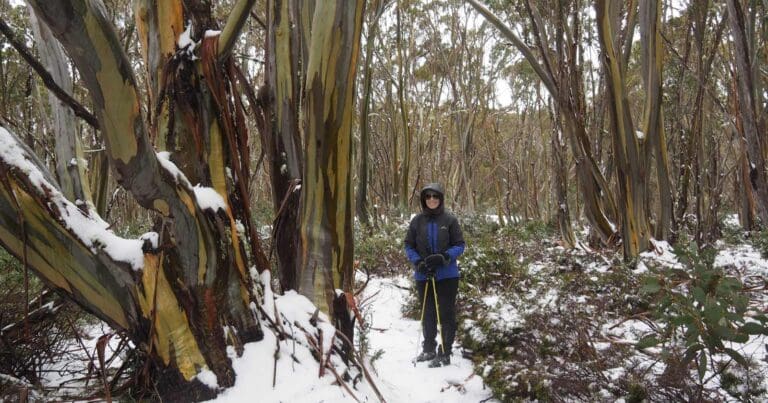
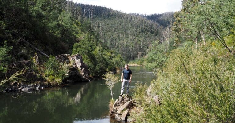
Mount St Gwinear is a mountain in Victoria, Australia, located at the north-east end of the Baw Baw National Park in the Gippsland high country. The walk via the summit of Mount St Gwinear to Mount Whitelaw winds through heathland and Snow Gum forest. The magnificent views, stretching across the valleys of the Thomson and Aberfeldy Rivers and into the Victorian Alps, are a perfect reward. From Mount St Gwinear follow the trail west until intersecting the Australian Alps Walking Trail. Follow the trail North West across the plateau until you reach Mount Whitelaw near the start of the Thomson River.
Overnight hike for kids
This makes an excellent overnight hike for kids and a good introduction to the Victorian Alps. Each day is not too long and while the terrain is undulating there are not a lot of big climbs. Camping is staggered along the plateau and at the Whitelaw Hut Ruins where there is only a chimney remaining. There were plenty of nice spots for tents and the nearby creek for fresh water.
Got some great shots from this hike? Upload your photos here to inspire others and show off the beauty of the trail!
Submitting your photos doesn’t mean you lose ownership. You can be credited for your contributions, and you can request removal at any time.
Please don’t copy GPX files or content from this site to AllTrails or other platforms. Each trail has been personally mapped, documented, and refined to support Australia’s bushwalking and hiking community. While some details come from land managers, every listing reflects significant personal effort. This is a free, community-driven initiative—your respect helps keep it that way.
Total distance: 25224 m
Max elevation: 1567 m
Min elevation: 1300 m
Total climbing: 878 m
Total descent: -879 m
Getting there
Getting to the trailhead: Baw Baw National Park.
The main access to the plateau is from the Mount Erica and St Gwinear carparks along signposted roads off the Thomson Valley Road, north of Erica. The Baw Baw Alpine Resort which adjoins the park can be reached from the Princes Highway at Drouin by following the Mount Baw Baw Tourist Road.
The St Gwinear car park is just over one hour’s drive from the Latrobe Valley or three hours from Melbourne via Erica. Roads are sealed apart from the last section of thirteen kilometres along the Thomson Valley and Mount St Gwinear roads. The road is regularly cleared of snow but is often icy or slushy.
Closest towns to this walk: Drouin, Erica, Mount Baw Baw, Neerim South, Noojee, Rawson, Tanjil Bren, Tanjil South, Thorpdale, Tyers, Walhalla, Warragul, Willow Grove, Yarragon
About the region
Spectacular year round, Baw Baw National Park covers a substantial part of the Baw Baw Plateau. As the snow melts see the hills come alive with vivid wildflower displays. Explore the wonderland of geological formations and walk or snowshoe one of the many trails that criss-cross through tangled snowgum forests.
Walk a section of the Australian Alps Walking Track and discover Mushroom Rocks, a maze of giant granite tors rising from the forest. Head to Mount St Gwinear. Snowshoe, toboggan or cross-country ski one of the many trails that criss-cross the twisted snowgum forests.
Walk the same trails in spring and see the Baw Baw Plateau come alive with a vivid display of wildflowers.
Similar walks nearby
Looking for more walks in or near Baw Baw National Park? Try these trails with a similar difficulty grade.
Favourite

Favourite

Favourite

Favourite

Track grade
Grade 4 (Hard) -
Challenging Walks for Experienced Walkers: Grade 4 on the
AWTGS signifies challenging walking tracks. Bushwalking experience is recommended for these tracks, which may be long, rough, and very steep. Directional signage may be limited, requiring a good sense of navigation. These walks are suited for experienced walkers who are comfortable with steeper inclines, rougher terrain, and potentially longer distances.
Explore safe
Plan ahead and hike safely! Carry enough water, pack layers for changing conditions, and bring safety gear like a torch, PLB, and reliable communication device. Check official sources for trail updates, closures, and access requirements, and review local weather and bushfire advice. Most importantly, share your plans with someone before you go. Being prepared makes for a safer and more enjoyable hike! Stay Safe, Explore More, and Always #ExploreSafe.
Packing checklists
What you carry in your pack depends on factors like weather, terrain, and your adventure type. Not sure what to bring? My free planning, food, and packing checklists are a great starting point, covering day hikes, overnight trips, and multi-day adventures. Use them to customise your kit and always prioritise safety.
Let someone know
Before heading out, take a moment to fill out your trip intentions form. It’s a quick way to share your hike details with family or friends. If something goes wrong, they can notify emergency services, ensuring a faster response and peace of mind. Stay safe and enjoy your adventure
Suggest an edit
Spotted a change on this trail? Maybe there are new features, the route has shifted, or the trail is permanently closed. Whatever the update, I’d love your input. Your feedback helps fellow hikers stay informed and ensures that our trail info stays fresh and reliable.


7 Reviews on “Mount St Gwinear to Mount Whitelaw Hike (25.2km)”
Awesome hike