Hike at a Glance
Max elevation: 1097m
Min elevation: 1049m
Total Ascent: 56m
Hike overview
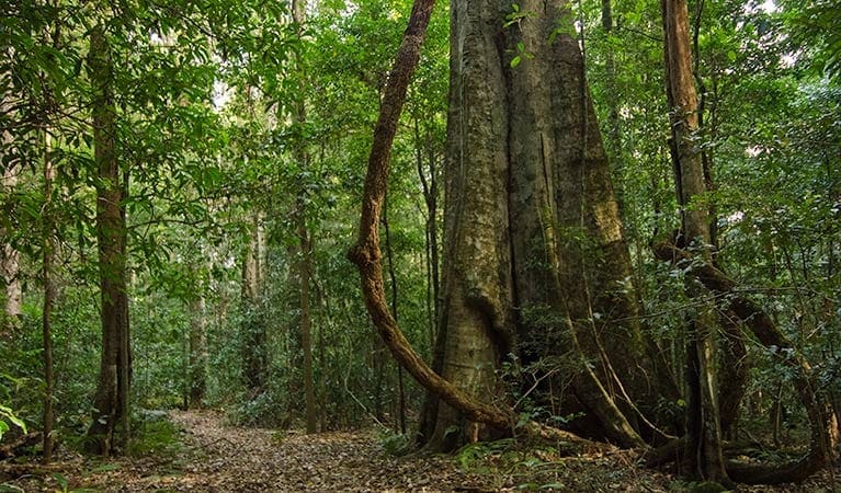
Discover World Heritage Gondwana Rainforest on Carabeen walk, in Werrikimbe National Park. This short, family-friendly walk loops past majestic yellow carabeen trees, near Walcha. Starting from Cobcroft picnic area, this loop walk is a beautiful self-guided tour of Werrikimbe National Park's ancient rainforest diversity, suitable for all ages.
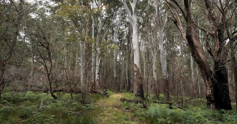
Listen for lyrebirds' mimicking calls as you stroll through tall open groves of New England blackbutt and eucalypts. Then dip into cool gullies where blue gums tower over an understorey of tree ferns. Scattered throughout are yellow carabeen trees, that give this track its name. Slow growing, yet often the forest's highest trees, their large, wide root buttresses straddle the forest floor and can extend 2-5m up the trunk.
Come in spring to see carabeen trees burst into flower with creamy white blossoms. It's also a great time to see wildflowers throughout the park, and spot the birds they attract. After your walk enjoy lunch at the picnic area. If you're feeling adventurous, Carabeen walk is easily combined with the longer Mesa trail, an ambitious 8hr hike for fit hikers.
Keen to explore more? Pitch your tent at Mooraback campground, among snow gum woodland. You'll wake refreshed and ready to discover more of the Mid North Coast hinterland, including neighbouring Oxley Wild Rivers National Park.
Camping
Escape the crowds at Mooraback campground, near Walcha, tucked among the snow gums. Explore nearby walking tracks and enjoy the tranquility of this isolated spot. There are 5 campsites that allow you to camp with a tent, camper trailer, or beside your vehicle in a swag.
All campgrounds in NSW national parks require a booking. Check availability and restrictions here.
Gallery
Got some great shots from this hike? Upload your photos here to inspire others and show off the beauty of the trail!
Click to view form >>
Submitting your photos doesn’t mean you lose ownership. You can be credited for your contributions, and you can request removal at any time.
Content use
Please don’t copy GPX files or content from this site to AllTrails or other platforms. Each trail has been personally mapped, documented, and refined to support Australia’s bushwalking and hiking community. While some details come from land managers, every listing reflects significant personal effort. This is a free, community-driven initiative—your respect helps keep it that way.
Walk map and GPX file
Max elevation: 1097 m
Min elevation: 1049 m
Total climbing: 56 m
Total descent: -56 m
Getting there
Getting to the trailhead: Werrikimbe National Park.
From Wauchope: Drive towards Beechwood on Beechwood Road. After approximately 6.5km, turn onto Bellangry Road and follow for approximately 18km to Bellangry. After Bellangry, the road is unsealed and becomes known as Hastings Forest Way. Follow Hastings Forest Way for about 30km through the forest to the park boundary, then continue on another 8km to the junction with Cockerawombeeba Road in the eastern precinct of the park. For more information, visit the NSW National Parks and Wildlife Service website.
Closest towns to this walk: Armidale, Bellbrook, Clybucca, Coonabarabran, Ellenborough, Eungai Creek, Gloucester, Kempsey, Nambucca Heads, Port Macquarie, Walcha
About the region
Werrikimbe National Park, near Port Macquarie and Walcha, offers walks through World Heritage-listed Gondwana rainforest, camping, picnicking, scenic drives and 4WD trails. If you're looking to get away from the crowds and explore pristine wilderness, then Werrikimbe National Park is the place for you.
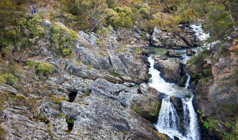
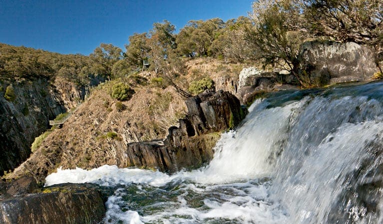
Part of the Gondwana Rainforests of Australia World Heritage Area, it's a unique natural landscape with ancient rainforest, tall eucalypt forests, pristine rivers, cascading waterfalls, rugged escarpment and deep gullies. In spring, the forests and heathland burst with colourful wildflowers. Visit for the day, or spend a few more enjoying the tranquility of secluded campgrounds, walking tracks, and picnic areas. With over 120 bird species, birdwatching is a fantastic activity to enjoy here. As you spy lyrebirds in the rainforest, you'll find a range of other forest birds such as eastern yellow robins and rufous fantails. If you're lucky, you might spot rare bird species like olive whistlers, rufous scrub-birds and sooty owls.
Similar walks nearby
Looking for more walks in or near Werrikimbe National Park? Try these trails with a similar difficulty grade.
Track grade
Grade 3 (Moderate) - Walks for Most Fitness Levels: Grade 3 on the AWTGS represents moderate walking tracks. These are ideal for walkers with some fitness who are comfortable with some hills and uneven terrain. While suitable for most ages, some bushwalking experience is recommended to ensure a safe and enjoyable experience. Tracks may have short, steep hill sections, a rough surface, and many steps. The total distance of a Grade 3 walk can be up to 20 kilometers.
Explore safe
Plan ahead and hike safely! Carry enough water, pack layers for changing conditions, and bring safety gear like a torch, PLB, and reliable communication device. Check official sources for trail updates, closures, and access requirements, and review local weather and bushfire advice. Most importantly, share your plans with someone before you go. Being prepared makes for a safer and more enjoyable hike! Stay Safe, Explore More, and Always #ExploreSafe.
Packing checklists
What you carry in your pack depends on factors like weather, terrain, and your adventure type. Not sure what to bring? My free planning, food, and packing checklists are a great starting point, covering day hikes, overnight trips, and multi-day adventures. Use them to customise your kit and always prioritise safety.
Let someone know
Before heading out, take a moment to fill out your trip intentions form. It’s a quick way to share your hike details with family or friends. If something goes wrong, they can notify emergency services, ensuring a faster response and peace of mind. Stay safe and enjoy your adventure
Suggest an edit
Spotted a change on this trail? Maybe there are new features, the route has shifted, or the trail is permanently closed. Whatever the update, I’d love your input. Your feedback helps fellow hikers stay informed and ensures that our trail info stays fresh and reliable.
Acknowledgement of Country
Trail Hiking Australia acknowledges the Traditional Owners of the lands on which we hike and pay respects to their Elders, past and present, and we acknowledge the First Nations people of other communities who may be here today.


