Hike at a Glance
Max elevation: 0m
Min elevation: 0m
Total Ascent: 0m
Hike overview
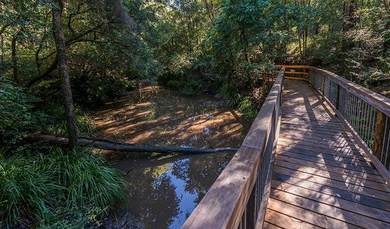
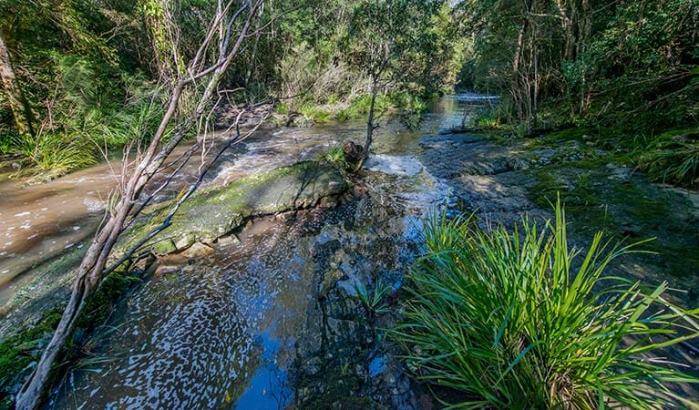
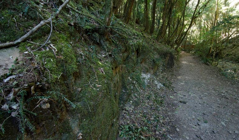
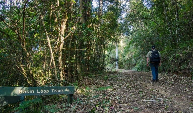
While you're in Tapin Tops, be sure to make the time to head out along the easy, but rewarding, Mountain Brush circuit. This short, 15-minute stroll through the rainforest will more than reward your efforts with its diverse range of rainforest species, plant and birdlife galore.
Along the way, you may spot brush turkeys pecking on the path for food, as well as regent bowerbirds and green catbirds hovering in the treetops. Not to mention the diverse botanical habitats here, which encompass red cedars and coachwoods, brushbox, corkwood and yellow carabeen.
Tips
The weather in this area can be extreme and unpredictable, so please ensure you're well-prepared for your visit.
Remember to take your binoculars if you want to birdwatch.
Visit NSW National Parks and Wildlife Service for more information on this trail.
The longitude and latitude of the start and end points are approximately only and should not be used for navigation purposes. Please contact me if you know the correct coordinates.
Gallery
Got some great shots from this hike? Upload your photos here to inspire others and show off the beauty of the trail!
Click to view form >>
Submitting your photos doesn’t mean you lose ownership. You can be credited for your contributions, and you can request removal at any time.
Content use
Please don’t copy GPX files or content from this site to AllTrails or other platforms. Each trail has been personally mapped, documented, and refined to support Australia’s bushwalking and hiking community. While some details come from land managers, every listing reflects significant personal effort. This is a free, community-driven initiative—your respect helps keep it that way.
Walk map and GPX file
It looks like I don’t have a GPX file for this trail yet. If you have one to share, please email it to me! I’ll verify it against official maps before adding it to help other hikers have a safer, easier experience. Thanks for contributing to a better hiking resource.
Getting there
Getting to the trailhead: Tapin Tops National Park.
Mountain Brush circuit is accessed from Dingo Tops campground. To get there:From Wingham:Take Elands Road and Wherrol Flat Road to Wherrol FlatAt Wherrol Flat, turn left onto Dingo Tops Road. Follow Dingo Tops Road to Tapin Tops National Park Parking Parking is available.
Closest towns to this walk: Comboyne, Gloucester, Krambach, Nabiac, Taree, Wingham
About the region
A few hours drive north of Sydney, Tapin Tops National Park lies on a spectacular section of the Great Eastern Escarpment, high up in the mountains just northwest of Wingham. Scenic lookouts such as Rowleys Rock lookout provide astounding panoramic views out across Taree and the ocean beyond. Wander through the park's subtropical rainforest and old growth eucalypt trees with its richly diverse plant and animal habitat, which dingoes and other interesting native species call home.
Mountain Brush circuit offers an easy, yet rewarding, stroll through the rainforest. Potoroo Falls walk is a fun, easy walk that involves a bit of rock jumping along a creek down to the falls and their swimming waterhole. If you're in the mood for something a little more strenuous, hike up to the top of Rowleys Rock for incredible mountain views. Dingo Tops campground is the perfect place to base yourself if you're exploring the park for more than a day-trip.
Similar walks nearby
Looking for more walks in or near Tapin Tops National Park? Try these trails with a similar difficulty grade.
Track grade
Grade 3 (Moderate) - Walks for Most Fitness Levels: Grade 3 on the AWTGS represents moderate walking tracks. These are ideal for walkers with some fitness who are comfortable with some hills and uneven terrain. While suitable for most ages, some bushwalking experience is recommended to ensure a safe and enjoyable experience. Tracks may have short, steep hill sections, a rough surface, and many steps. The total distance of a Grade 3 walk can be up to 20 kilometers.
Explore safe
Plan ahead and hike safely! Carry enough water, pack layers for changing conditions, and bring safety gear like a torch, PLB, and reliable communication device. Check official sources for trail updates, closures, and access requirements, and review local weather and bushfire advice. Most importantly, share your plans with someone before you go. Being prepared makes for a safer and more enjoyable hike! Stay Safe, Explore More, and Always #ExploreSafe.
Packing checklists
What you carry in your pack depends on factors like weather, terrain, and your adventure type. Not sure what to bring? My free planning, food, and packing checklists are a great starting point, covering day hikes, overnight trips, and multi-day adventures. Use them to customise your kit and always prioritise safety.
Let someone know
Before heading out, take a moment to fill out your trip intentions form. It’s a quick way to share your hike details with family or friends. If something goes wrong, they can notify emergency services, ensuring a faster response and peace of mind. Stay safe and enjoy your adventure
Suggest an edit
Spotted a change on this trail? Maybe there are new features, the route has shifted, or the trail is permanently closed. Whatever the update, I’d love your input. Your feedback helps fellow hikers stay informed and ensures that our trail info stays fresh and reliable.
Acknowledgement of Country
Trail Hiking Australia acknowledges the Traditional Owners of the lands on which we hike and pay respects to their Elders, past and present, and we acknowledge the First Nations people of other communities who may be here today.


