Hike at a Glance
Max elevation: 514m
Min elevation: 446m
Total Ascent: 241m
Hike overview
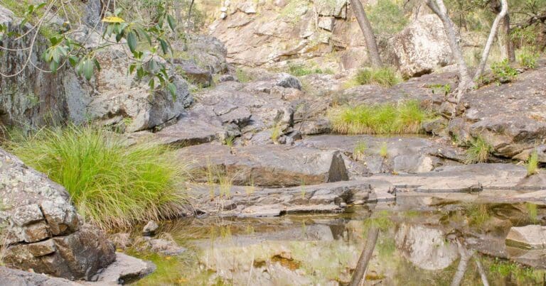
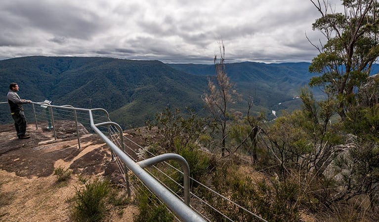
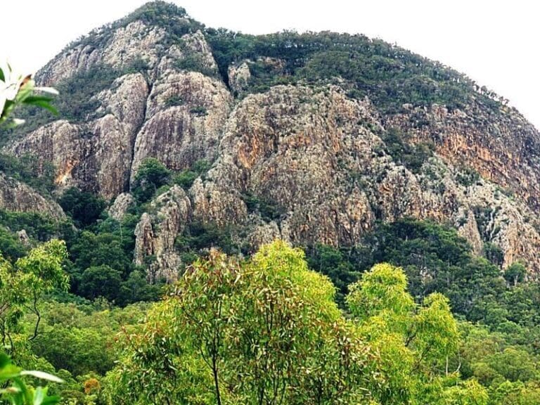
Enjoy a memorable riverside walk, through beautiful woodlands to magnificent valley views from the rocky outcrop of Rats Castle. Venture through stands of silver-leaved ironbark and white cypress pine on this scenic walk starting at Burrows Waterhole camping area. Meander downstream along the Severn River to Sundown Creek then climb the steep, rocky track up the distinctive granite outcrop known as Rats Castle. Marvel at spectacular views of the river valley from this vantage point. Don't rushtake some time at the picturesque Severn River and its creeks. Bring your bathers and take a refreshing dip in some of the waterholes. If you've brought your rod along, why not have a go at catching yourself some dinner!
Gallery
Got some great shots from this hike? Upload your photos here to inspire others and show off the beauty of the trail!
Click to view form >>
Submitting your photos doesn’t mean you lose ownership. You can be credited for your contributions, and you can request removal at any time.
Content use
Please don’t copy GPX files or content from this site to AllTrails or other platforms. Each trail has been personally mapped, documented, and refined to support Australia’s bushwalking and hiking community. While some details come from land managers, every listing reflects significant personal effort. This is a free, community-driven initiative—your respect helps keep it that way.
Walk map and GPX file
Max elevation: 514 m
Min elevation: 446 m
Total climbing: 241 m
Total descent: -241 m
Getting there
Getting to the trailhead: Sundown National Park.
Burrows Waterhole to Rats Castle track is in Sundown National Park, 250km (34hrs drive) south-west of Brisbane via Stanthorpe, and 70km north-west of Tenterfield. The track is in the remote north-eastern section of the park, accessible via rough unsealed roads from Ballandean. A high-clearance 4WD is required. Travel 16km from Ballandean, via unsealed Curr Road and Sundown Road to the park’s north-eastern entrance. Drive 20km west along the narrow, rough 4WD track through the hills to Burrows Waterhole camping area and the start of the track.
Closest towns to this walk: Applethorpe, Ballandean, Goondiwindi, Inglewood, Pozieres, Stanthorpe, Tenterfield, Texas, Thulimbah, Wallangarra, Warwick
About the region
Sundown National Park, is a rugged wilderness area with spectacular steep-sided gorges, sharp ridges and peaks of over 1,000m that rise above the Severn River. The vegetation is mainly woodland consisting of box, ironbark and cypress trees, river red gums and river oaks along the river, stringybark and yellow box trees dominate forest in some high eastern areas and pockets of dry vine scrub are found in sheltered gorges. More than 150 species of birds have been recorded in the park, making it the perfect location for birdwatching enthusiasts.
The Sundown area has a history of early selection and subdivision in the late 1800s, followed by extensive clearing for grazing and fine wool production. Tin, copper and arsenic were also mined in the area from the 1870s. Pastoral relics and old surface diggings remain.
Sundown is a great place to get away from it all. Visitors must be self-sufficient as few facilities are provided.
Find out more here.
Similar walks nearby
Looking for more walks in or near Sundown National Park? Try these trails with a similar difficulty grade.
Track grade
Grade 5 (Difficult) - Walks for the Most Experienced: Grade 5 represents the most challenging walking tracks on the AWTGS. These are only recommended for very experienced and fit walkers with specialised skills, including navigation and emergency first aid. Tracks are likely to be very rough, very steep, and unmarked. Walks may be more than 20 kilometers. These challenging walks demand a high level of fitness and experience to navigate difficult terrain, significant elevation changes, and potentially unformed paths.
Explore safe
Plan ahead and hike safely! Carry enough water, pack layers for changing conditions, and bring safety gear like a torch, PLB, and reliable communication device. Check official sources for trail updates, closures, and access requirements, and review local weather and bushfire advice. Most importantly, share your plans with someone before you go. Being prepared makes for a safer and more enjoyable hike! Stay Safe, Explore More, and Always #ExploreSafe.
Packing checklists
What you carry in your pack depends on factors like weather, terrain, and your adventure type. Not sure what to bring? My free planning, food, and packing checklists are a great starting point, covering day hikes, overnight trips, and multi-day adventures. Use them to customise your kit and always prioritise safety.
Let someone know
Before heading out, take a moment to fill out your trip intentions form. It’s a quick way to share your hike details with family or friends. If something goes wrong, they can notify emergency services, ensuring a faster response and peace of mind. Stay safe and enjoy your adventure
Suggest an edit
Spotted a change on this trail? Maybe there are new features, the route has shifted, or the trail is permanently closed. Whatever the update, I’d love your input. Your feedback helps fellow hikers stay informed and ensures that our trail info stays fresh and reliable.
Acknowledgement of Country
Trail Hiking Australia acknowledges the Traditional Owners of the lands on which we hike and pay respects to their Elders, past and present, and we acknowledge the First Nations people of other communities who may be here today.


