Hike at a Glance
Max elevation: 0m
Min elevation: 0m
Total Ascent: 0m
Important info
This hike is classified as Grade 4 (Hard) primarily due to its distance exceeding 20km. The terrain itself is relatively easy and suitable for most abilities. However, the long distance requires a good level of fitness and preparation. Feel free to turn back at any point for a shorter adventure.
Hike overview
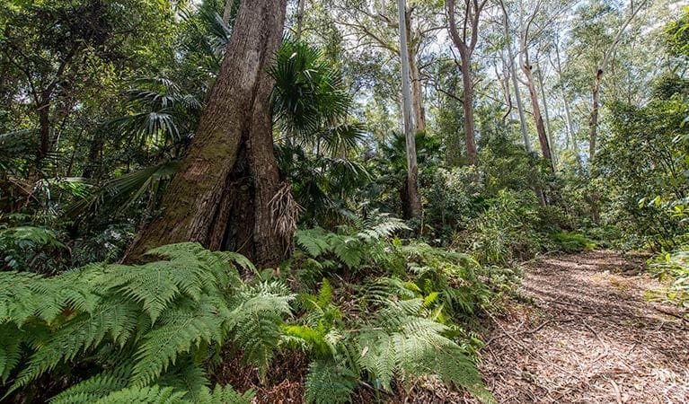
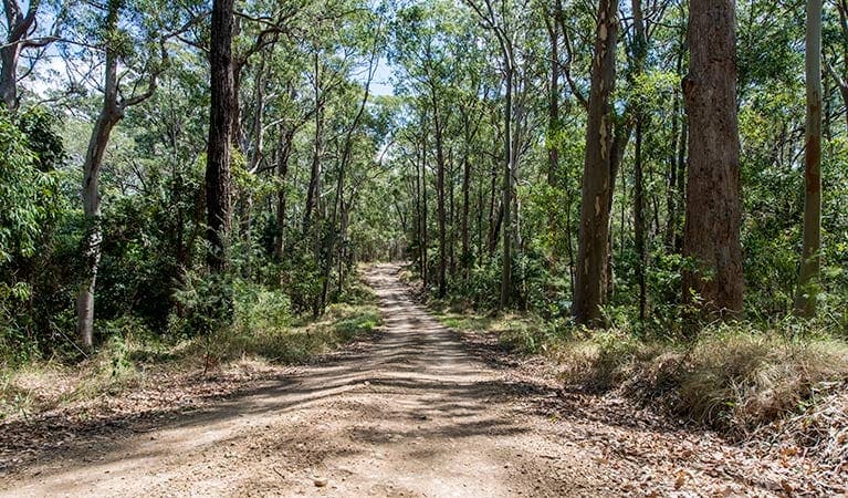
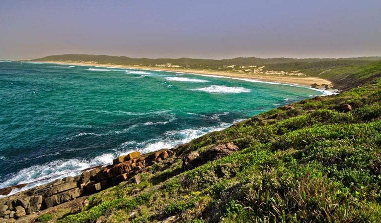
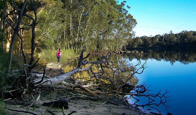
Prepare to see all Wallingat National Park has to offer in one easy drive. The 25km loop that is Wallingat Forest drive takes you through the thick forest, the snow-white trunks of gum trees towering over you, and underneath the vast leaves of the cabbage palm shading the road. The route takes in all the major sites of the park, including Wallingat River picnic area, where you can stop for a swim. Be sure to bring an esky full of sandwiches and barbecue essentials so you can relax at Sugar Creek picnic area.
You'll see birds swooping low throughout the drive, wallabies bounding across your path, and maybe even a goanna basking in the sun - so be sure to drive with care. This is an unsealed road, so plan your trip well - wet weather makes it unsuitable for 2WD vehicles. If you're feeling energetic, you can go mountain biking or horse riding along the circuit. Any way you enjoy this route, take your time, relax and enjoy.
Tips
This is a narrow road, two-way, and shared by cars, bikes, hikers and horse-riders, so caution is urged on this route.
The road network contains a number of timber bridges, some of which have limited load carrying capacity. The main bridge over Boggy Creek on Sugar Creek Road has a load limit of 3 tonnes.
Remember to take your binoculars if you want to bird watch
Visit NSW National Parks and Wildlife Service for more information on this trail.
The longitude and latitude of the start and end points are approximately only and should not be used for navigation purposes. Please contact me if you know the correct coordinates.
Gallery
Got some great shots from this hike? Upload your photos here to inspire others and show off the beauty of the trail!
Click to view form >>
Submitting your photos doesn’t mean you lose ownership. You can be credited for your contributions, and you can request removal at any time.
Content use
Please don’t copy GPX files or content from this site to AllTrails or other platforms. Each trail has been personally mapped, documented, and refined to support Australia’s bushwalking and hiking community. While some details come from land managers, every listing reflects significant personal effort. This is a free, community-driven initiative—your respect helps keep it that way.
Walk map and GPX file
It looks like I don’t have a GPX file for this trail yet. If you have one to share, please email it to me! I’ll verify it against official maps before adding it to help other hikers have a safer, easier experience. Thanks for contributing to a better hiking resource.
Getting there
Getting to the trailhead: Wallingat National Park.
To Sugar Creek Road. On entering Wallingat National Park, start at either Sugar Creek Road or Thomas Road. Park entry points Sugar Creek Road See on map Thomas Road See on map Parking Parking is available at the picnic areas and campgrounds on the drive. Parking on campgrounds is for campers only.
Closest towns to this walk: Forster, Gloucester, Hallidays Point, Nabiac, Old Bar, Pacific Palms, Seal Rocks, Smiths Lake, Taree, Tuncurry, Wingham
Similar walks nearby
Looking for more walks in or near Wallingat National Park? Try these trails with a similar difficulty grade.
Track grade
Grade 4 (Hard) - Challenging Walks for Experienced Walkers: Grade 4 on the AWTGS signifies challenging walking tracks. Bushwalking experience is recommended for these tracks, which may be long, rough, and very steep. Directional signage may be limited, requiring a good sense of navigation. These walks are suited for experienced walkers who are comfortable with steeper inclines, rougher terrain, and potentially longer distances.
Explore safe
Plan ahead and hike safely! Carry enough water, pack layers for changing conditions, and bring safety gear like a torch, PLB, and reliable communication device. Check official sources for trail updates, closures, and access requirements, and review local weather and bushfire advice. Most importantly, share your plans with someone before you go. Being prepared makes for a safer and more enjoyable hike! Stay Safe, Explore More, and Always #ExploreSafe.
Packing checklists
What you carry in your pack depends on factors like weather, terrain, and your adventure type. Not sure what to bring? My free planning, food, and packing checklists are a great starting point, covering day hikes, overnight trips, and multi-day adventures. Use them to customise your kit and always prioritise safety.
Let someone know
Before heading out, take a moment to fill out your trip intentions form. It’s a quick way to share your hike details with family or friends. If something goes wrong, they can notify emergency services, ensuring a faster response and peace of mind. Stay safe and enjoy your adventure
Suggest an edit
Spotted a change on this trail? Maybe there are new features, the route has shifted, or the trail is permanently closed. Whatever the update, I’d love your input. Your feedback helps fellow hikers stay informed and ensures that our trail info stays fresh and reliable.
Acknowledgement of Country
Trail Hiking Australia acknowledges the Traditional Owners of the lands on which we hike and pay respects to their Elders, past and present, and we acknowledge the First Nations people of other communities who may be here today.


