Hike at a Glance
Max elevation: 0m
Min elevation: 0m
Total Ascent: 0m
Hike overview
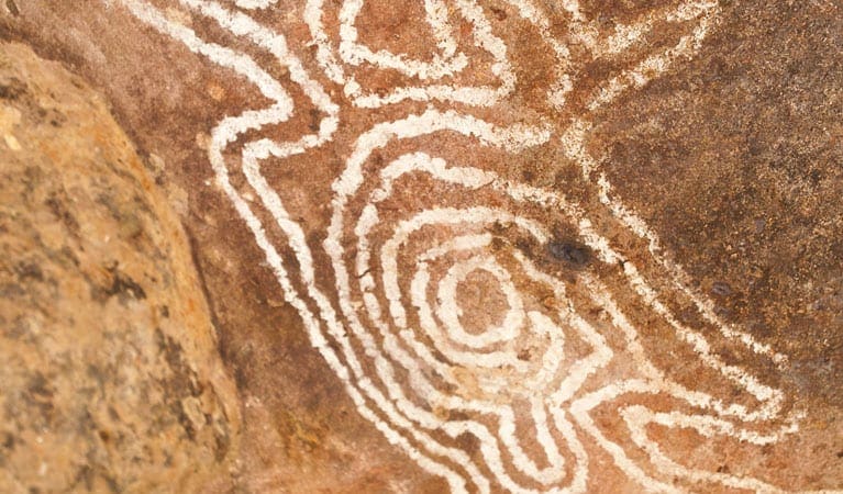
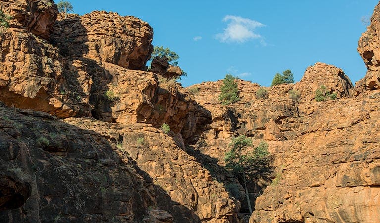
If you're heading to Gundabooka National Park, put on your walking shoes and explore Valley of the Eagles walk. You'll be rewarded with breath taking views of the rugged Mount Gunderbooka, which rises 500m above park.
Pleasure walkers might like to start with the easy path to the base of the mountain, where you'll find a viewing platform perfect for taking pictures in the golden afternoon light. This short stroll is 1km return, and should take you no more than an hour.
From the viewing platform, the track to the summit is sure to get your heart pumping, but you'll be rewarded with sweeping 360 degree views of Gundabooka National Park. This is a difficult 5.7km return walk over rocky and very steep terrain, and should only be taken by fit walkers.
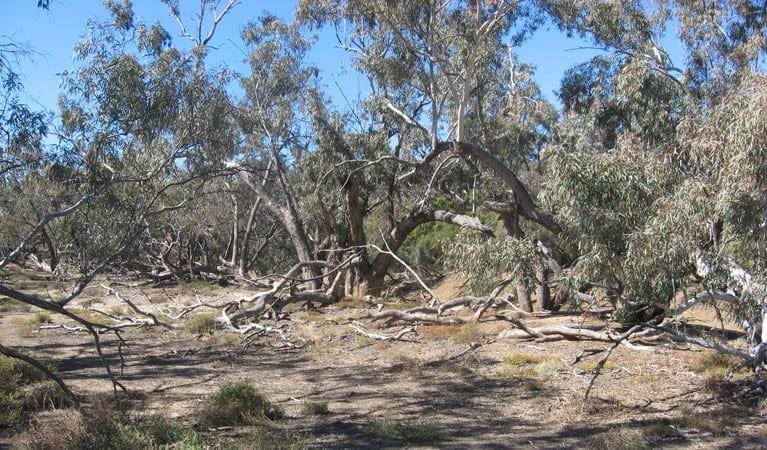
Tread quietly while you walk - you're likely to see and hear a range of birdlife on this lovely walk. And if you're lucky you might even see a pink cockatoo, so keep your eyes peeled.
Take a virtual tour of Valley of the Eagles walk captured with Google Street View Trekker.
Tips
Check the weather and road conditions before you set out, as the roads to Gundabooka National Park may be closed
Remember to take your binoculars if you want to go birdwatching
Visit NSW National Parks and Wildlife Service for more information on this trail.
The longitude and latitude of the start and end points are approximately only and should not be used for navigation purposes. Please contact me if you know the correct coordinates.
Content use
Please don’t copy GPX files or content from this site to AllTrails or other platforms. Each trail has been personally mapped, documented, and refined to support Australia’s bushwalking and hiking community. While some details come from land managers, every listing reflects significant personal effort. This is a free, community-driven initiative—your respect helps keep it that way.
Walk map and GPX file
It looks like I don’t have a GPX file for this trail yet. If you have one to share, please email it to me! I’ll verify it against official maps before adding it to help other hikers have a safer, easier experience. Thanks for contributing to a better hiking resource.
Getting there
Getting to the trailhead: Gundabooka National Park.
Bennetts Gorge picnic area walk starts from the picnic area. It is about 2km in from Corella Tank Road in the western part of Gundabooka National Park. Take the Kidman Highway from Bourke and turn right into the park. Look for the signs to Bennetts Gorge picnic area. Parking Parking is available at Bennetts Gorge picnic area.
Closest towns to this walk: Bourke, Byrock, Enngonia, Louth, Nyngan, Tilpa, Wanaaring
About the region
Gundabooka National Park in the Outback NSW region
Gundabooka National Park is always open but may have to close at times due to poor weather or fire danger.
Similar walks nearby
Looking for more walks in or near Gundabooka National Park? Try these trails with a similar difficulty grade.
Track grade
Grade 5 (Difficult) - Walks for the Most Experienced: Grade 5 represents the most challenging walking tracks on the AWTGS. These are only recommended for very experienced and fit walkers with specialised skills, including navigation and emergency first aid. Tracks are likely to be very rough, very steep, and unmarked. Walks may be more than 20 kilometers. These challenging walks demand a high level of fitness and experience to navigate difficult terrain, significant elevation changes, and potentially unformed paths.
Explore safe
Plan ahead and hike safely! Carry enough water, pack layers for changing conditions, and bring safety gear like a torch, PLB, and reliable communication device. Check official sources for trail updates, closures, and access requirements, and review local weather and bushfire advice. Most importantly, share your plans with someone before you go. Being prepared makes for a safer and more enjoyable hike! Stay Safe, Explore More, and Always #ExploreSafe.
Packing checklists
What you carry in your pack depends on factors like weather, terrain, and your adventure type. Not sure what to bring? My free planning, food, and packing checklists are a great starting point, covering day hikes, overnight trips, and multi-day adventures. Use them to customise your kit and always prioritise safety.
Let someone know
Before heading out, take a moment to fill out your trip intentions form. It’s a quick way to share your hike details with family or friends. If something goes wrong, they can notify emergency services, ensuring a faster response and peace of mind. Stay safe and enjoy your adventure
Suggest an edit
Spotted a change on this trail? Maybe there are new features, the route has shifted, or the trail is permanently closed. Whatever the update, I’d love your input. Your feedback helps fellow hikers stay informed and ensures that our trail info stays fresh and reliable.
Acknowledgement of Country
Trail Hiking Australia acknowledges the Traditional Owners of the lands on which we hike and pay respects to their Elders, past and present, and we acknowledge the First Nations people of other communities who may be here today.
/Valley-of-the-Eagles-Walk_3.jpg)
/Valley-of-the-Eagles-Walk_1.jpg)
/Valley-of-the-Eagles-Walk_2.jpg)
/Valley-of-the-Eagles-Walk_5.jpg)
/Valley-of-the-Eagles-Walk_4.jpg)


