Trip report and images by Mark JayPen – March 2024
One of the best hikes I’ve done in Australia
We just completed the Hannels Spur Track to the top of Mount Kosciusko over the weekend of 23/24 March 2024. Our luck with the weather couldn’t have been better, and we had perfect clear blue days with a gentle breeze to cool us down as we climbed up the mountain. Overall, this was quite a challenging hike. The incline is relentless, and the thick bush and downed trees we had to climb over or under added to the difficulty. Slow and steady won the weekend, and we had ample time to complete the hike.
Day 1 – The challenging climb to Moiras Flat
Starting on Friday, we both packed our 65L Osprey packs with the Mont Dragonfly tent, 5L water (per person), warm clothes and plenty of food. Long pants are an absolute must on this track and will protect your legs from the thick shrubs and sneaky blackberry bushes. I would also recommend hiking poles to assist with the climb as well as to push bushes out of the way. Having a map, compass, EPIRB and Garmin GPS are non-negotiables when going into the mountains; however, this track is extremely well signposted. Under the tree line, there are ample orange/red triangle markers to assist with navigation, and the track is distinct. Once you make it above the tree line, the distribution of rock cairns made it simple to navigate to the top. In the end, we didn’t need to pull out the GPS at all.
We departed Canberra at about 6:30am on the Saturday and headed off for the Geehi Campground via Jindabyne. The Snowy Mountain Classic just so happened to be on the same day, and we were stopped at a roadblock as we watched the hundreds of cyclists pass. This added an extra hour to the trip, but it was cool to see such an event take place. After dropping one car in the overnight car park at Thredbo, we loaded up the other car and enjoyed the drive around to the Geehi Campground. After one last kit check, we headed off at about 11am.
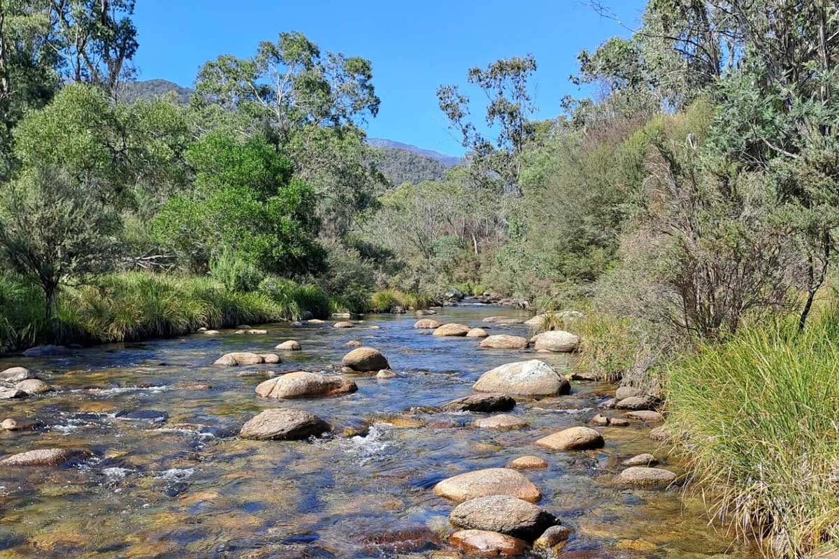
The initial river crossing is very soon into the hike. The week before the trip had brought beautiful warm weather, so the river was mellow when we arrived. At its deepest point, the water was just below knee-high and easy to cross. The rocks were slippery, but the hiking poles helped to balance us across.
We soon passed the Hannels Spur Track sign and took our mandatory tourist photos. I had assumed this was the last place we would get reception and decided to send one last text to my partner before we headed into the guts of the hike. This part of the hike is the easiest and it quickly gets difficult from there.
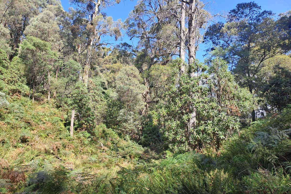
With heads down and legs moving, we got through the next 2kms and dropped our packs for a drink and some chocolate. Our lungs were burning, and we both had a good sweat going. The track is steep, and the incline is constant. The views during the climb are awesome and you can easily notice how high you are getting in comparison to the surrounding mountains. At about 4pm, we were greeted by a group of 4 hikers who were coming the other way. They informed us that Moiras Flat campground is about an hour away and we were getting close. This reignited us and we continued to push through the last hour. The last hour was the toughest of the day, and the vegetation got extremely thick. Arriving at the Moiras Flat campground, we high-fived and dropped the packs. I checked my Garmin and it had taken us 5.5 hours to get from the Geehi Campground to Moiras Flat. The elevation on my Garmin was 1118m of gain in the hike, and I had consumed about 3L of water.
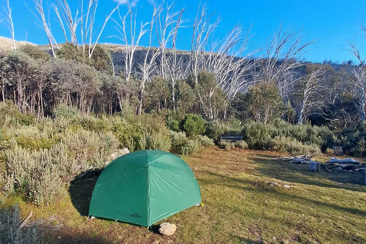
Moiras Flat campground is beautiful, and you are perfectly protected by gum trees and thick bush. It was nice and flat, and we were able to set up our tent and start a fire in the designated fire pit. Luckily, there was plenty of dry wood around; however, the nearby creek, which is clearly signposted, was a small trickle. With the use of my coffee cup, I was able to get enough water to fill up the water bottles and put some water purification tablets into them. My phone with Telstra had reception at this point, and I managed to let my partner know we were safe and sound in the Moiras Flat campground. My mate was with Optus, and he had no reception.
When we went to bed that night, I was a little concerned that the creek would completely dry out overnight. Luckily enough, it was still providing enough to top up the bottles in the morning.
Day 2 – The summit of Mount Kosciusko
On Sunday morning, we were gently woken by the delayed sunrise as the mountain protected us from the sun beaming into the tent. After a good breakfast and morning coffee, we repacked the bags and cleaned the campsite. We were pumped to get to the top of the mountain.
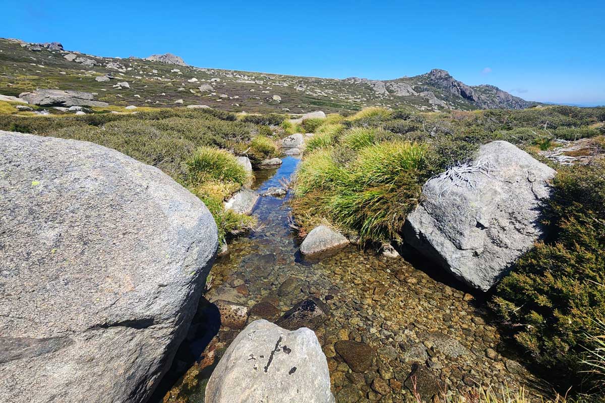
The first hour of the day was tough and the hike picked up right where it left off the previous day. Steep inclines, thick bush, and downed trees. We knew we were in for another hard day. After the first 2kms, we started to emerge from the tree line and into the open mountain range. At this stage, we started to cross multiple larger rivers and small dams, and I was reassured that if needed, we could have got more water from them.
The next 7kms to the top of Mount Kosciusko are the best. I honestly felt like I was in Iceland or Norway as we crossed the rocky hills with all the rivers and massive rocks. The water was so clear, and the little dams were picturesque. The air is the best in Australia, and it was so refreshing.
About 1km from the top, we joined the main trail, and it turns into a nice open fire trail. At this point, I reflected on the hike and how hard it must have been in 1840, when Edmund Strzelecki had completed the ascent. Even with the water purification tablets, boots, pack, sunscreen, and all the comforts we had with us, we still found it hard.
Reaching the top was unreal. We could see out for kilometres across the mountain range and took a good break to have some food and enjoy the view. A few more photos from the top and we headed down the metal grated path to the top of the chair lift. To much relief, the chair lift was still running, and we managed to get the VIP experience down to the bottom of Thredbo resort.
We got back to the car and headed back to Geehi campground to pick up the other car. This drive was so much better after completing the hike. After narrowly missing the biggest deer I’ve ever seen, we pulled into the Banjo Patterson Inn and parked up the cars.
After some quick showers, we headed to the pub for dinner and a well-earned beer. The Kosciusko beers tasted crisp and refreshing, and we had some Brumby’s Schnapps for dessert. At $180 a night, the accommodation far exceeded my expectations for this area.
After a well-earned rest and a great complimentary breakfast, we loaded up the cars and headed back to Canberra.
Celebrating the achievement
This had been a great hike, and I was so glad we did it. This was the first time both of us had summited Mount Kosciusko, and it was far better to get up there the hard way. I would do this hike again and will use it for Kokoda preparation.
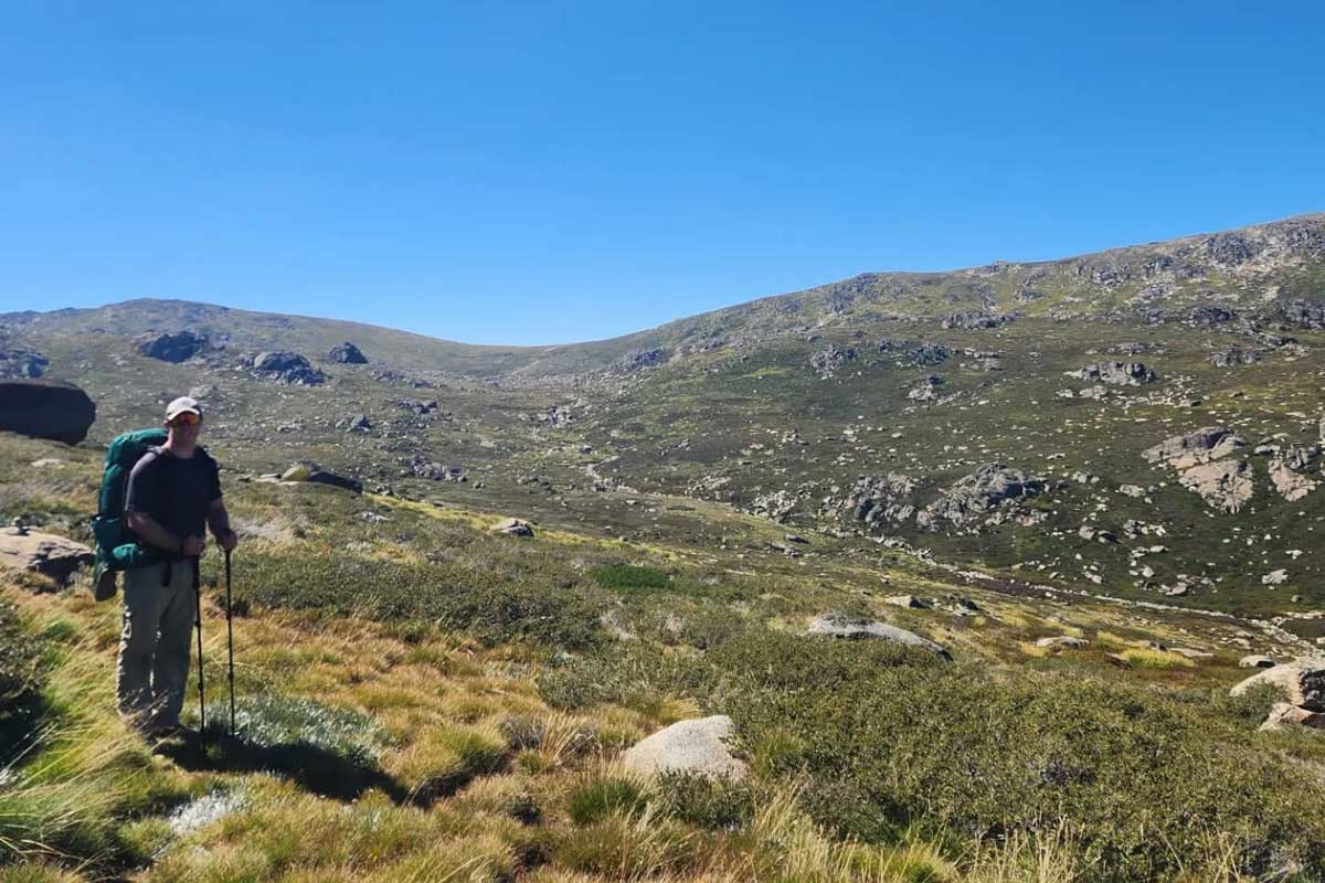
The fitter you are, the more you will enjoy this hike; however, you don’t need to be superhuman to do this. There are plenty of spots to stop and have a break, and this made us take in the views and enjoy the surroundings more.
In terms of gear, I recommend long pants, GPS, sunscreen, and plenty of water.
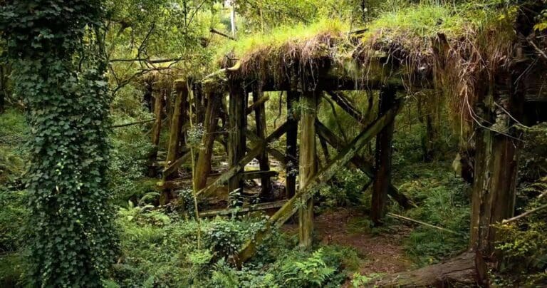
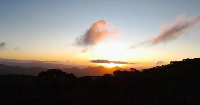
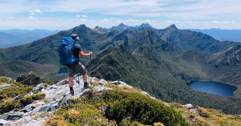



I once did this the other way and it was a pleasant experience with a swim in the Geehi River at the end
Hi Mark, Great report.
It would be nice if you can share the GPS recording. The GPX file in https://www.trailhiking.com.au/hikes/hannels-spur-track/ is from 2016.
Hey Eitan. I will check with Mark if he has a GPX file to share. I don’t believe it would be much different from the 2016 one though.
Hi Eitan,
Thank you. The GPX file on this site was still accurate.
Thanks for confirming Mark
Thanks Mark