Clouds and Weather: What Every Hiker Should Know
Clouds are among the most captivating weather phenomena, showcasing an endless array of forms and textures. From the delicate wisps of cirrus clouds high above to the imposing, storm-filled cumulonimbus clouds, their diversity mirrors the complexities of weather itself. Beyond their aesthetic appeal, clouds are powerful indicators of weather conditions.
Understanding how to predict weather from the clouds is an invaluable skill for hikers. By observing the sky, you can anticipate changing conditions and stay prepared. This guide covers how to identify different cloud types and what they mean for your hike. Whether it’s cirrus clouds signaling fair weather or cumulonimbus clouds warning of a storm, knowing what to look for can help you make better decisions and stay safe on the trail.
Understanding the Ten Main Cloud Types
Clouds are classified into ten main types and further divided into 27 sub-types based on factors such as height, shape, colour, and the weather they indicate. These types are grouped into three levels:
High-level clouds (above 6 km)
Mid-level clouds (2.5 to 6 km)
Low-level clouds (surface to 2.5 km)
Their Latin names reflect their defining characteristics: cirrus (hair), cumulus (heap), stratus (layer), and nimbus (rain-bearing).While all clouds are naturally white, their appearance from the ground can vary due to depth, shadowing from higher clouds, or the angle of sunlight.
High-Level Clouds (Above 6 km)

Cirrus clouds are high-altitude clouds that form above 6 km, where the air is cold and ice crystals dominate. Their thin, wispy strands are often shaped by strong winds, creating long streamers across the sky. While these clouds usually indicate fair weather, they often signal a change in conditions within 24 hours, such as an approaching front or storm system. Keep an eye on the movement of cirrus clouds to better understand the direction of incoming weather. For hikers, this is a useful tool when planning routes or preparing for changes in conditions.
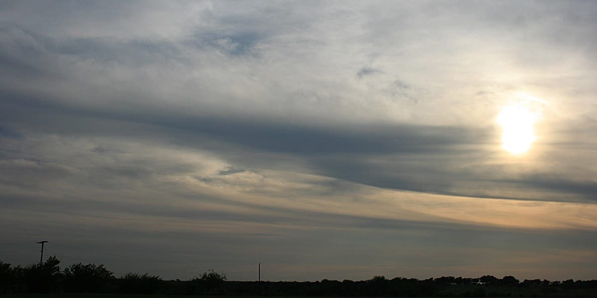
Cirrostratus clouds appear as delicate, translucent sheets that spread across the sky, sometimes giving it a milky appearance. They are so thin that the sun or moon can shine through, often producing a halo effect due to the refraction of light by the ice crystals within the cloud. These clouds are a reliable sign of an approaching rain or snowstorm, typically appearing 12–24 hours in advance. Their subtle presence might not seem threatening at first, but hikers should take note, as they often signal the beginning of a significant weather change.
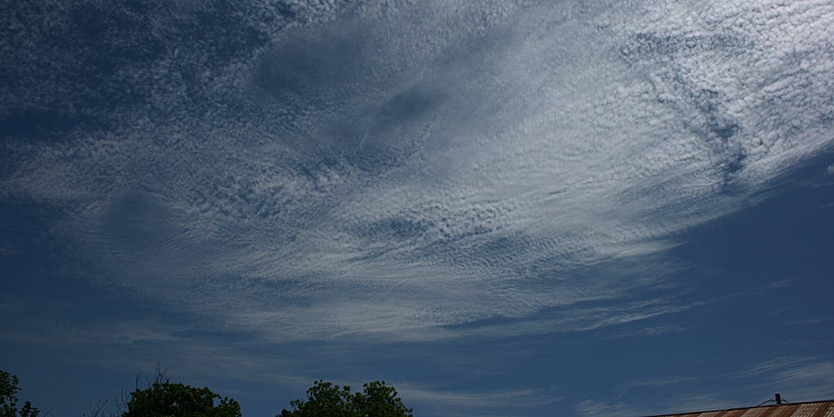
Cirrocumulus clouds are less common but striking in appearance, resembling small, rounded white puffs scattered across the sky in a pattern that can resemble fish scales—hence the nickname “mackerel sky.” Composed of ice crystals, they are usually seen in colder weather conditions or tropical regions. While they often indicate fair weather, their appearance in tropical areas can warn of an approaching cyclone or hurricane. For hikers, these clouds might suggest keeping an eye on other atmospheric changes that could indicate more severe conditions ahead.
Mid-Level Clouds (2.5 to 6 km)
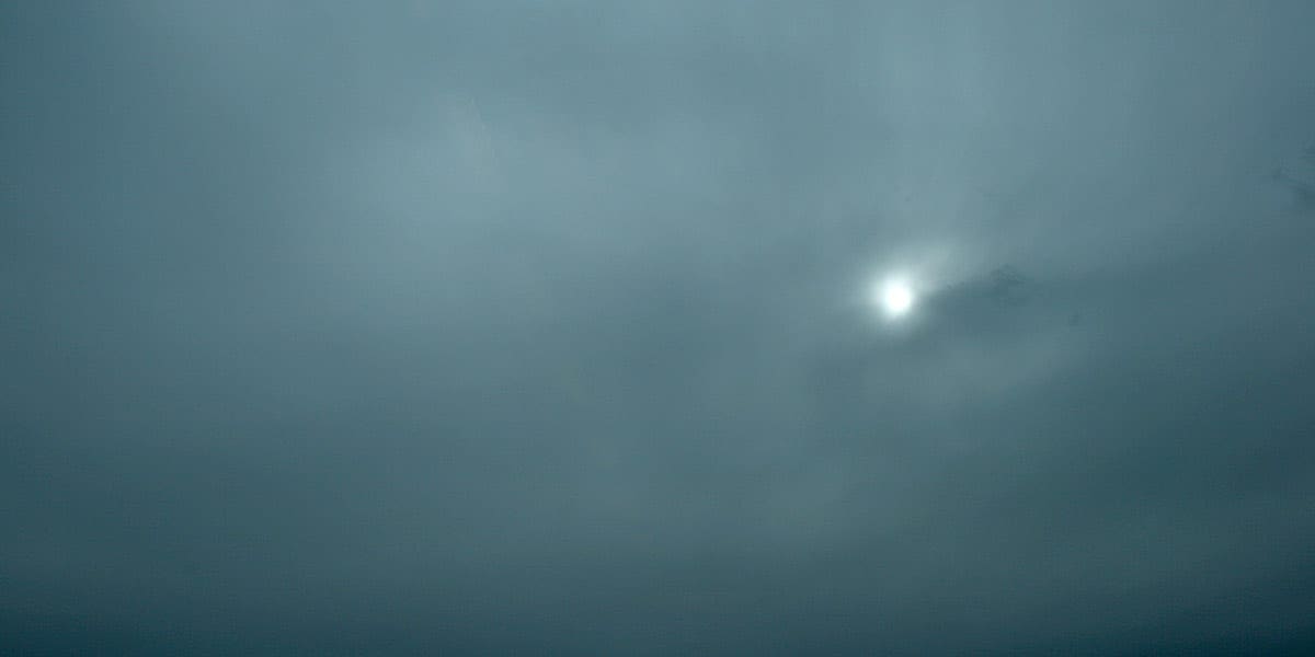
Altostratus clouds form a dense, grey or blue-grey layer that stretches across the sky, sometimes blocking out the sun or making it appear as a dim, blurry disc. These clouds are composed of both water droplets and ice crystals, depending on their altitude. They usually precede long-lasting rain or snow and often act as a warning of an incoming storm system. While they don’t produce heavy precipitation themselves, they often mark the transition to more active weather. Hikers encountering altostratus clouds should prepare for deteriorating conditions and ensure their rain gear is easily accessible.
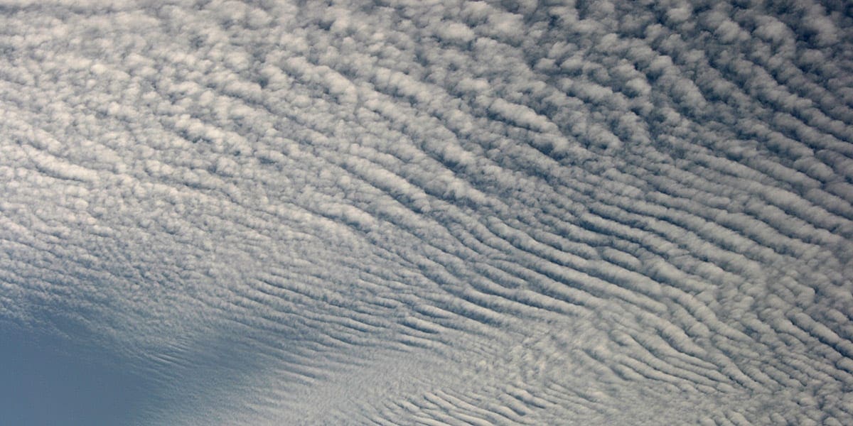
Altocumulus clouds are patchy grey or white masses that appear at mid-level altitudes, often forming in groups or rows. They are typically made up of water droplets and are a common sight in the morning on warm, humid days. Their presence is particularly significant in summer, as they often signal the likelihood of thunderstorms forming later in the day. For hikers, spotting altocumulus clouds in the morning can serve as an early warning to complete outdoor activities before the weather worsens.
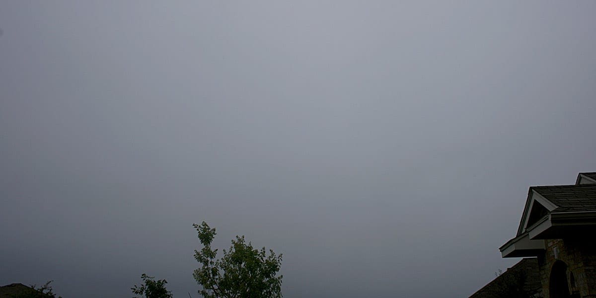
Nimbostratus clouds are thick, dark grey clouds that stretch across the sky like a blanket. These clouds are typically associated with continuous, steady precipitation, ranging from light drizzle to moderate rain or snow. Unlike cumulonimbus clouds, which produce intense but short-lived downpours, nimbostratus clouds create sustained wet conditions. Their presence often means an extended period of gloomy weather, and for hikers, they can turn a pleasant walk into a soggy experience. Be prepared with waterproof gear if nimbostratus clouds dominate the sky.
Low-Level Clouds (Surface to 2.5 km)
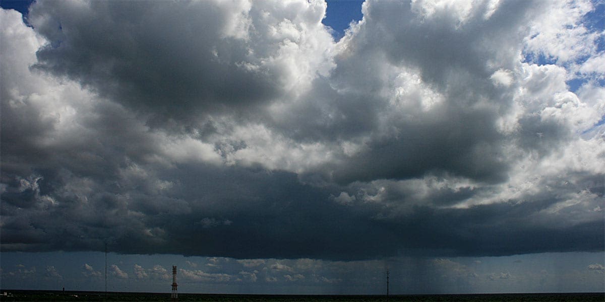
Cumulus clouds are classic, fluffy white clouds that resemble cotton balls scattered across a blue sky. They often form on sunny days when warm air rises, cools, and condenses. These clouds are usually harmless, earning them the nickname “fair-weather clouds.” However, as they grow vertically, they can evolve into towering cumulus or cumulus congestus clouds, which may later develop into cumulonimbus clouds, bringing thunderstorms. For hikers, the sight of towering cumulus clouds is a signal to monitor the sky closely, as they can rapidly grow into storm-bearing clouds.
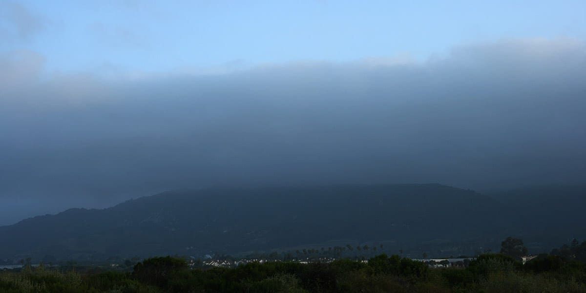
Stratus clouds are low, grey clouds that blanket the sky in a uniform layer, resembling fog that doesn’t reach the ground. They often bring light mist or drizzle and can linger for long periods, creating a dreary, overcast day. These clouds typically form in stable weather conditions, so while they’re not a sign of severe weather, they can limit visibility and dampen the mood of a hike. For hikers, stratus clouds might mean adjusting plans if visibility on the trail is a concern.
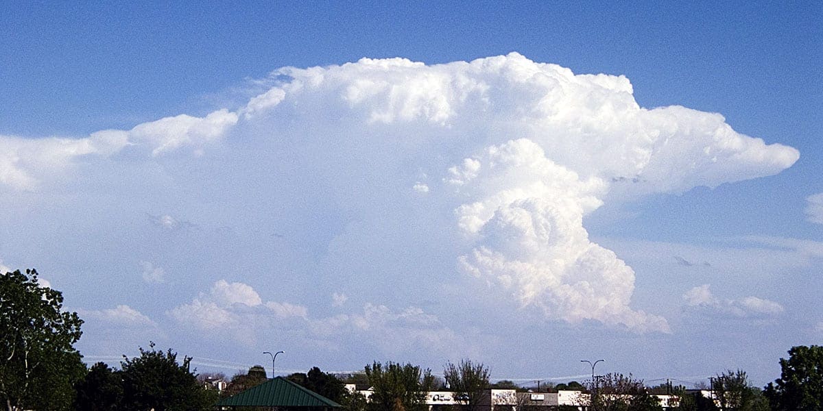
Cumulonimbus clouds are towering giants that reach as high as 12 km. These clouds produce heavy rain, hail, lightning, and even tornadoes. When you spot cumulonimbus clouds, it’s time to take action and seek shelter immediately. They often bring fast-changing and dangerous weather conditions, so it’s critical to be prepared for a sudden shift. Hikers should monitor the sky closely and adjust plans accordingly when these clouds appear.
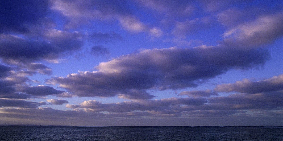
Stratocumulus clouds are low, puffy grey clouds that often form in rows with gaps of blue sky visible between them. While they rarely produce rain, their presence can signal a change in weather, especially if they begin to thicken and merge into nimbostratus clouds. Stratocumulus clouds are common during cooler seasons and often create dramatic, textured skies. Hikers might encounter these clouds on transitional weather days, and their presence can provide an opportunity for beautiful photos while remaining mindful of changing conditions.
Other Clouds to Watch For
There are other cloud formations such as Mammatus, Lenticular, Fog, Contrails, Fractus and Green Clouds. Certain less common cloud types are worth noting, particularly for hikers, as they can signal severe weather:
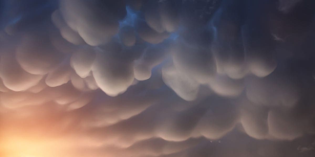
Mammatus clouds are distinctive and somewhat ominous, with their bulging, pouch-like formations hanging beneath cumulonimbus clouds. These clouds are a visual warning of severe weather, often forming during or after thunderstorms. They’re most striking in appearance during sunset, as the light enhances their dramatic texture. For hikers, the sight of mammatus clouds is a sign to take shelter and prepare for potentially hazardous conditions.
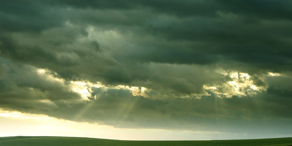
Green clouds are rare but alarming, often signalling severe storms capable of producing large hail or tornadoes. The greenish tint is thought to result from sunlight interacting with water droplets and hail within the cloud. While more common in the United States’ Great Plains, they can occur elsewhere under the right conditions. For hikers, green clouds should prompt immediate action to find shelter, as they often precede the most dangerous weather events.
Using Cloud Knowledge for Safer Hiking
Understanding cloud types can be as vital as packing the right gear. Spotting cirrostratus clouds might prompt you to double-check your rain jacket, while mammatus clouds could mean reconsidering a hike altogether. Whether you’re planning a short walk or a multi-day trek, learning to read the sky will give you an edge in staying safe and prepared.

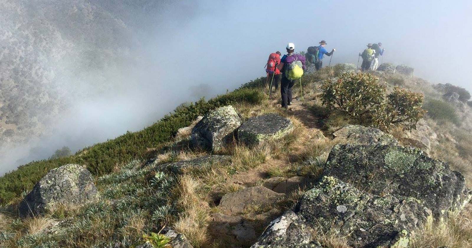
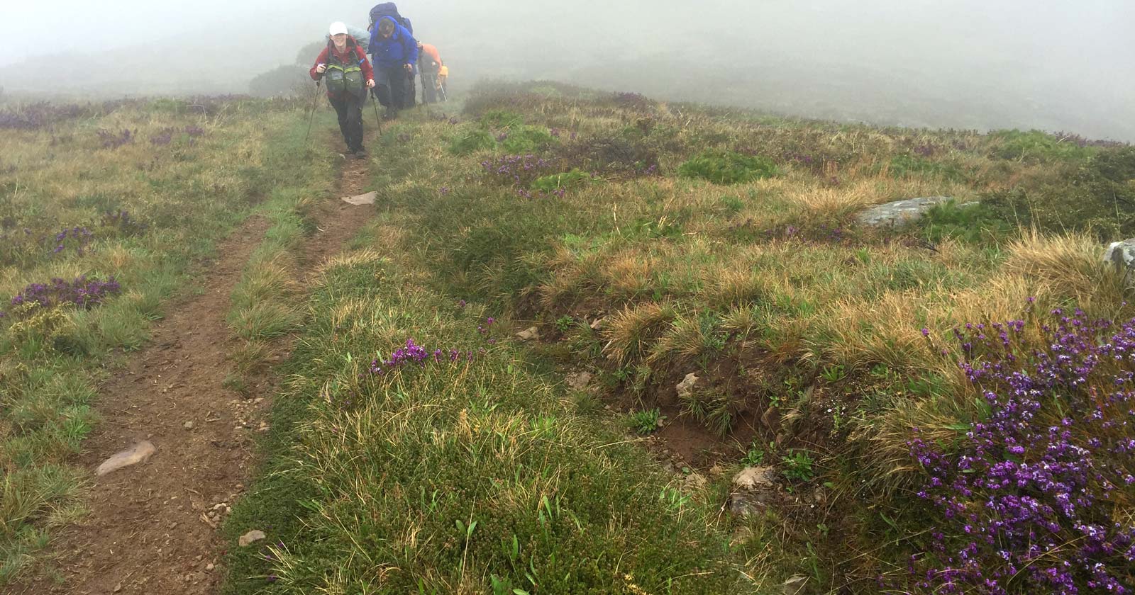


What cloud formations have you noticed during your hikes, and how did they influence your plans for the day?
I tie in cloud type with wind direction, speed, and change to temperature. In SE Australia we are impacted by influences in weather in tropics and Antartica. Walker circulation is when large air masses rotate from relatively warm air toward cooler air. Equatorial air masses rise toward upper atmosphere and draw in cooler temperate air. The warm air circulates like a conveyor belt toward south and descends upon temperate zones like SE Aus. This descending air has pressure upon the surface, felt as a High. The air mass also has spin added and create rotational forces at ground level. This is most obvious with low pressures approaching SE Aus with clockwise winds. We first feel northerly winds, then NW, then W as the cold front hits. High cloud switches to low cloud, and ahead of the storm the winds get 5km/h faster and 5°C colder. This is a good time to get into shelter.
Darren Hocking great local knowledge and observation. Most helpful to know. Thanks.
Wayne Barnes😁