Hike at a Glance
Max elevation: 0m
Min elevation: 0m
Total Ascent: 0m
Hike overview
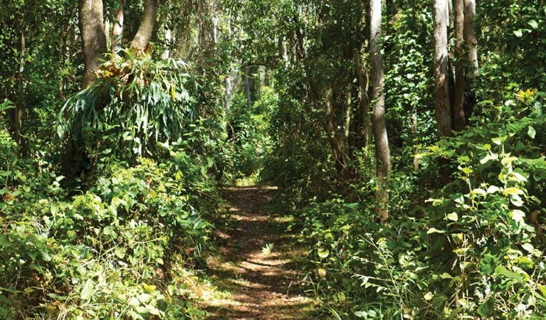
Immerse yourself in this remote landscape and spend the day exploring on your mountain bike. Just a short drive from Coffs Harbour, you'll see beautiful scenery while cycling along the gentle gravel roads of Bindarri National Park and the adjacent Bindarri State Conservation Area.
Pack a picnic lunch and make sure you're prepared with plenty of water and a tool kit, as you're heading into the remote yet beautiful corners of the park.
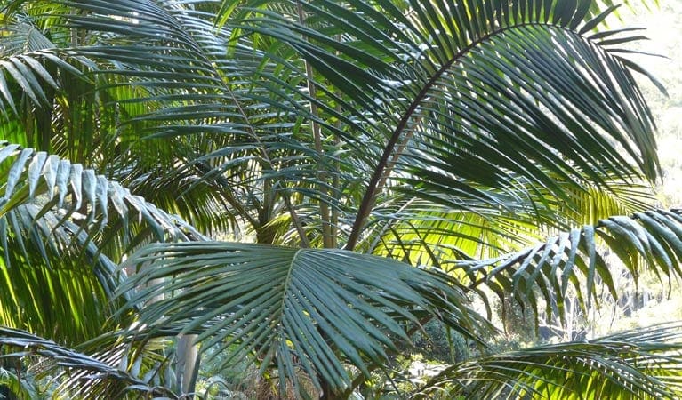
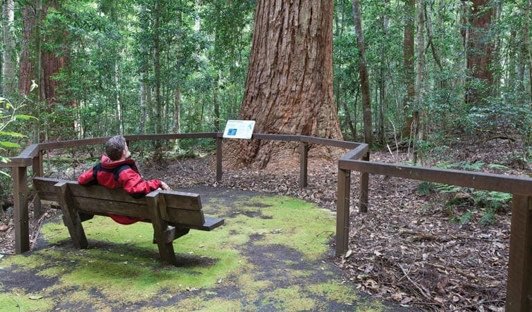
Head to Bangalore Falls picnic area and follow the short walking track to see beautiful cascading waters. Then, continue riding through lush subtropical rainforest to Urumbilum picnic area. Admire the majestic hoop pines, lush subtropical rainforest and spectacular gorge scenery along the way.
Take a moment to explore Urumbilum Creek gorge below the picnic area on foot. The spectacular waterfall that drops away into a large, natural amphitheatre and deep pool makes for great photography.
Tips
There is limited water available in this area, so it's a good idea to bring your own.
It's a good idea to bring a topographic map and compass, or a GPS.
Check the weather before you set out as the road to Bindarri National Park can become boggy when it rains
This park is in a remote location. Please be well-prepared and tell a family member or friend about your travel plans.
There's no mobile reception in this park
Visit NSW National Parks and Wildlife Service for more information on this trail.
The longitude and latitude of the start and end points are approximately only and should not be used for navigation purposes. Please contact me if you know the correct coordinates.
Gallery
Got some great shots from this hike? Upload your photos here to inspire others and show off the beauty of the trail!
Click to view form >>
Submitting your photos doesn’t mean you lose ownership. You can be credited for your contributions, and you can request removal at any time.
Content use
Please don’t copy GPX files or content from this site to AllTrails or other platforms. Each trail has been personally mapped, documented, and refined to support Australia’s bushwalking and hiking community. While some details come from land managers, every listing reflects significant personal effort. This is a free, community-driven initiative—your respect helps keep it that way.
Walk map and GPX file
It looks like I don’t have a GPX file for this trail yet. If you have one to share, please email it to me! I’ll verify it against official maps before adding it to help other hikers have a safer, easier experience. Thanks for contributing to a better hiking resource.
Getting there
Getting to the trailhead: Bindarri National Park.
To Plateau Circuit trailhead. Plateau Circuit loop trail is in the western precinct of Bindarri National Park. To get there:Follow the directions to the park entrance via Eastern Dorrigo WayStart the ride at the information sign at the park boundaryContinue along Corfes Road onto Range RoadTurn left onto Bangalore Road for 1km and follow to Bangalore Falls picnic areaReturn to Range Road and continue south onto Urumbilum Creek Road, which takes you to Urumbilum picnic area.Return the same way or, for the more adventurous, turn right off Urumbilum Creek Road to Loudens Road, which will return you to Bangalore Road. Park entry points Plateau Circuit trailhead See on map Parking Parking is available at the start of Plateau Circuit loop trail.
Closest towns to this walk: Boambee, Bonville, Coffs Harbour, Coramba, Glenreagh, Nana Glen, Woolgoolga
About the region
Bindarri National Park in the North Coast region
Bindarri National Park is always open but may have to close at times due to poor weather or fire danger.
Similar walks nearby
Looking for more walks in or near Bindarri National Park? Try these trails with a similar difficulty grade.
Track grade
Grade 3 (Moderate) - Walks for Most Fitness Levels: Grade 3 on the AWTGS represents moderate walking tracks. These are ideal for walkers with some fitness who are comfortable with some hills and uneven terrain. While suitable for most ages, some bushwalking experience is recommended to ensure a safe and enjoyable experience. Tracks may have short, steep hill sections, a rough surface, and many steps. The total distance of a Grade 3 walk can be up to 20 kilometers.
Explore safe
Plan ahead and hike safely! Carry enough water, pack layers for changing conditions, and bring safety gear like a torch, PLB, and reliable communication device. Check official sources for trail updates, closures, and access requirements, and review local weather and bushfire advice. Most importantly, share your plans with someone before you go. Being prepared makes for a safer and more enjoyable hike! Stay Safe, Explore More, and Always #ExploreSafe.
Packing checklists
What you carry in your pack depends on factors like weather, terrain, and your adventure type. Not sure what to bring? My free planning, food, and packing checklists are a great starting point, covering day hikes, overnight trips, and multi-day adventures. Use them to customise your kit and always prioritise safety.
Let someone know
Before heading out, take a moment to fill out your trip intentions form. It’s a quick way to share your hike details with family or friends. If something goes wrong, they can notify emergency services, ensuring a faster response and peace of mind. Stay safe and enjoy your adventure
Suggest an edit
Spotted a change on this trail? Maybe there are new features, the route has shifted, or the trail is permanently closed. Whatever the update, I’d love your input. Your feedback helps fellow hikers stay informed and ensures that our trail info stays fresh and reliable.
Acknowledgement of Country
Trail Hiking Australia acknowledges the Traditional Owners of the lands on which we hike and pay respects to their Elders, past and present, and we acknowledge the First Nations people of other communities who may be here today.


