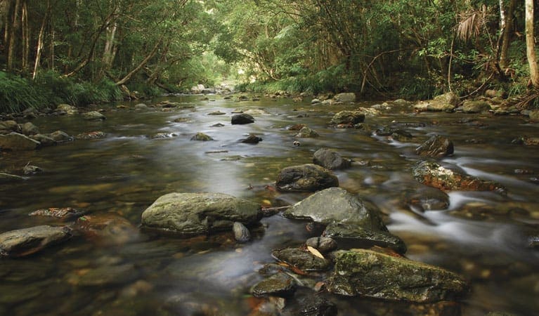
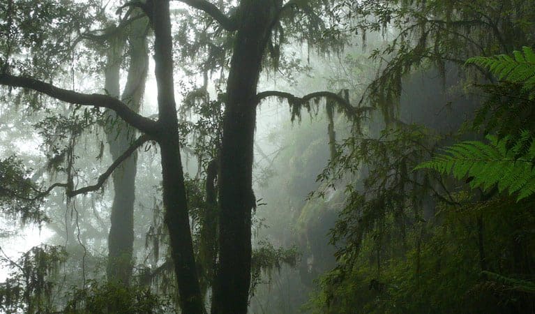
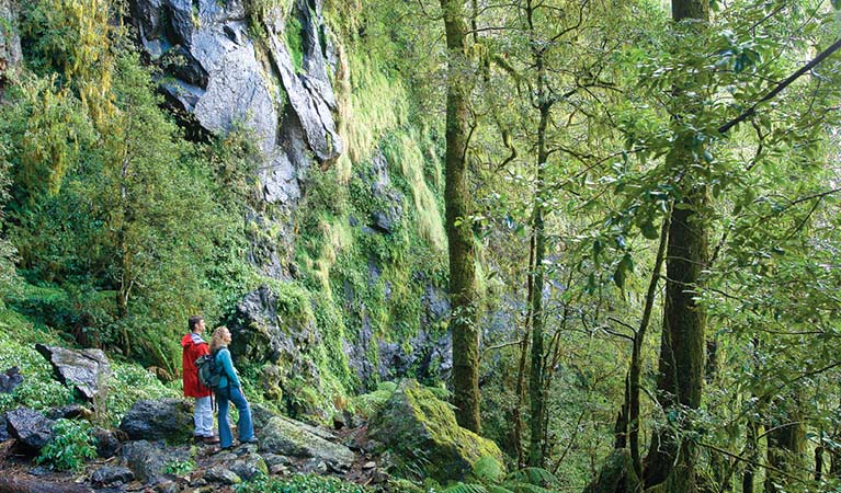
The Coachwood loop track takes you through coachwood rainforest and stands of tallowwood trees that are sure to dwarf you. Along this short walk, you'll see majestic blue gums; keep your eyes open for birds high in the trees. Setting out from Norman Jolly picnic area, this walk makes a nice way to finish off your picnic or a good way to work up an appetite for lunch. For a longer stay spend the night at the nearby Platypus Flat campground or continue along Moonpar Forest drive to return to Dorrigo.
Remember to take your binoculars if you want to birdwatch
Check the weather before you set out as the road to Norman Jolly picnic area can become boggy when it rains
Visit NSW National Parks and Wildlife Service for more information on this trail.
Got some great shots from this hike? Upload your photos here to inspire others and show off the beauty of the trail!
Submitting your photos doesn’t mean you lose ownership. You can be credited for your contributions, and you can request removal at any time.
Please don’t copy GPX files or content from this site to AllTrails or other platforms. Each trail has been personally mapped, documented, and refined to support Australia’s bushwalking and hiking community. While some details come from land managers, every listing reflects significant personal effort. This is a free, community-driven initiative—your respect helps keep it that way.
Total distance: 911 m
Max elevation: 727 m
Min elevation: 700 m
Total climbing: 29 m
Total descent: -29 m
Getting there
Getting to the trailhead: Nymboi-Binderay National Park.
Coachwood loop track starts at Norman Jolly picnic area in Nymboi-Binderay National Park.
To get there: From Dorrigo, travel north along Tyringham RoadTurn right into Moonpar RoadNorman Jolly picnic area is located at the end of Moonpar Road. Parking Parking is available at Norman Jolly picnic area.
Closest towns to this walk: Bellingen, Coffs Harbour, Dorrigo, Ebor, Woolgoolga
About the region
The Nymboida River runs through the heart of Nymboi-Binderay National Park, making it a popular destination for intrepid white-water rafters and kayakers. A short section of the river at Platypus Flat is suitable for swimming, otherwise the river is for experienced white-water paddlers only.
Although rafting is the best way to fully appreciate the park's stunning beauty, Moonpar Forest drive offers an alternative option while experienced bushwalkers will love exploring the park's landscape on foot along unmarked trails, through tallowwood trees and coachwood rainforest. It's a great place to escape to nature for the weekend.
The stunning rainforests and extensive old forests in Nymboi-Binderay provide a habitat for a variety of threatened animals like the powerful owl, stuttering frog as well as the more common koala and kookaburra. Plus, amongst the park's 55 metre tall eucalypts, you'll discover the remnants of the early timber industry and historic days of the axe, crosscut saw and steam tramways.
Similar walks nearby
Looking for more walks in or near Nymboi-Binderay National Park? Try these trails with a similar difficulty grade.
Favourite

Favourite

Favourite

New England National Park
Favourite

New England National Park
Track grade
Grade 3 (Moderate) - Walks for Most Fitness Levels: Grade 3 on the
AWTGS represents moderate walking tracks. These are ideal for walkers with some fitness who are comfortable with some hills and uneven terrain. While suitable for most ages, some bushwalking experience is recommended to ensure a safe and enjoyable experience. Tracks may have short, steep hill sections, a rough surface, and many steps. The total distance of a Grade 3 walk can be up to 20 kilometers.
Explore safe
Plan ahead and hike safely! Carry enough water, pack layers for changing conditions, and bring safety gear like a torch, PLB, and reliable communication device. Check official sources for trail updates, closures, and access requirements, and review local weather and bushfire advice. Most importantly, share your plans with someone before you go. Being prepared makes for a safer and more enjoyable hike! Stay Safe, Explore More, and Always #ExploreSafe.
Packing checklists
What you carry in your pack depends on factors like weather, terrain, and your adventure type. Not sure what to bring? My free planning, food, and packing checklists are a great starting point, covering day hikes, overnight trips, and multi-day adventures. Use them to customise your kit and always prioritise safety.
Let someone know
Before heading out, take a moment to fill out your trip intentions form. It’s a quick way to share your hike details with family or friends. If something goes wrong, they can notify emergency services, ensuring a faster response and peace of mind. Stay safe and enjoy your adventure
Suggest an edit
Spotted a change on this trail? Maybe there are new features, the route has shifted, or the trail is permanently closed. Whatever the update, I’d love your input. Your feedback helps fellow hikers stay informed and ensures that our trail info stays fresh and reliable.


3 Reviews on “Coachwood Loop Track (900m)”
We loved this short walk at the Norm Jolly picnic area, on the Moonpar Forest Drive. The 800 year old tallowwood trees ( (Eucalyptus microcorys) tower above you, a popular feed tree for koalas. Coachwood are beautiful trees too, with light grey ridged trunks decorated with lichens in soft pastel shades. Fortunately you don’t need to be a tree-identification expert to enjoy this walk, as their are numerous interpretive panels to help you identify the trees and which wildlife depend on them for living hollows or a supply of nectar or leaves to eat.