Hike at a Glance
Max elevation: 45m
Min elevation: 30m
Total Ascent: 84m
Hike overview
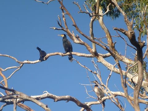
Enjoy a leisurely stroll along the tranquil waters of the Jordan River with the Jordan River Trail, offering a pleasant 9-kilometer journey through Pontville, Tasmania. Rated as a grade 2 hike, this trail is accessible to all skill levels and typically takes around 3 hours to complete. Embark on your adventure near Andrew Street, following the trail northward along the left bank of the Jordan River. As you meander along, keep an eye out for the abundant birdlife, including ducks, that call this area home. The trail leads you to a ford across the Jordan at Ford Road, where you can pause and admire the serene surroundings. Beyond the ford, the path continues along a footpath to the Midland Highway before transitioning back to a gravel track. Pass by the local sports ground and equestrian center as you follow the river to Hartley Court, soaking in the natural beauty along the way. Don't miss the opportunity to explore the Pontville Historic Precinct, where you can discover charming historical sites and immerse yourself in the area's rich heritage.
Tips
- Track subject to occasional flooding following significant rain events in the Jordan River catchment.
Gallery
Got some great shots from this hike? Upload your photos here to inspire others and show off the beauty of the trail!
Uploading your photos doesn’t mean you lose ownership. You can be credited for your contributions, and you can request removal at any time.
Content use
Please don’t copy GPX files or content from this site to AllTrails or other platforms. Each trail has been personally mapped, documented, and refined to support Australia’s bushwalking and hiking community. While some details come from land managers, every listing reflects significant personal effort. This is a free, community-driven initiative—your respect helps keep it that way.
Walk map and GPX file
Max elevation: 45 m
Min elevation: 30 m
Total climbing: 84 m
Total descent: -84 m
For more information on this trail, visit Greater Hobart Trails
Getting there
Getting to the trailhead: Pontville.
Access from Andrew Street, Ford Road or the Midland Highway, Pontville Bridge.
Closest towns to this walk: Bagdad, Bridgewater, Brighton, Kempton, Magra
About the region
Brighton is now effectively a commuter suburb of Hobart. However the area retains interest for the visitor firstly in the accessible Bonorong Wildlife Sanctuary and secondly in the impressive Georgian buildings which are scattered throughout the surrounding district, often in tiny villages like Broadmarsh and Bagdad. An unintentional bonus in the district is that the delightfully eccentric and very British Royal Marine, Private Hugh Germain, who reputedly travelled through the area with a copy of The Bible and the Arabian Nights, provided names like Jerusalem, Jericho, Jordan, and Lake Tiberius to the places he visited.
Similar walks nearby
Looking for more walks in or near Pontville? Try these trails with a similar difficulty grade.
Track grade
Grade 2 (Easy) - A Gentle Introduction to Inclines: Grade 2 on the AWTGS represents easy walking tracks that offer a slightly more challenging experience compared to Grade 1. Similar to Grade 1, no prior bushwalking experience is required. The track surface is typically hardened or compacted and may have gentle hill sections or occasional steps. The total distance of a Grade 2 walk is typically no greater than 10 kilometers. These walks are still suitable for families with a bit more experience or those seeking a gentle introduction to some inclines.
Explore safe
Plan ahead and hike safely! Carry enough water, pack layers for changing conditions, and bring safety gear like a torch, PLB, and reliable communication device. Check official sources for trail updates, closures, and access requirements, and review local weather and bushfire advice. Most importantly, share your plans with someone before you go. Being prepared makes for a safer and more enjoyable hike! Stay Safe, Explore More, and Always #ExploreSafe.
Packing checklists
What you carry in your pack depends on factors like weather, terrain, and your adventure type. Not sure what to bring? My free planning, food, and packing checklists are a great starting point, covering day hikes, overnight trips, and multi-day adventures. Use them to customise your kit and always prioritise safety.
Let someone know
Before heading out, take a moment to fill out your trip intentions form. It’s a quick way to share your hike details with family or friends. If something goes wrong, they can notify emergency services, ensuring a faster response and peace of mind. Stay safe and enjoy your adventure
Suggest an edit
Spotted a change on this trail? Maybe there are new features, the route has shifted, or the trail is permanently closed. Whatever the update, I’d love your input. Your feedback helps fellow hikers stay informed and ensures that our trail info stays fresh and reliable.
Acknowledgement of Country
Trail Hiking Australia acknowledges the Traditional Owners of the lands on which we hike and pay respects to their Elders, past and present, and we acknowledge the First Nations people of other communities who may be here today.


