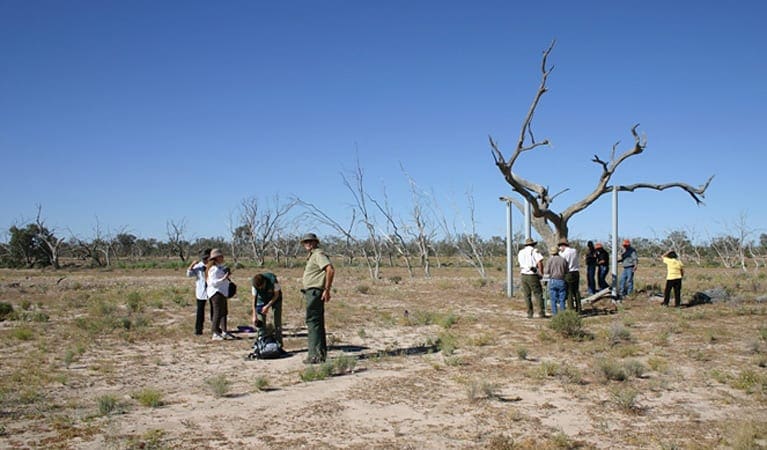
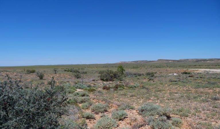
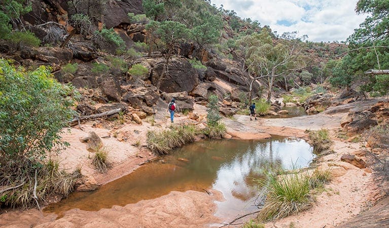
Starting from Fort Grey campground, the unformed track takes you on a journey through interdune woodland communities and along the creek past the majestic river red gums. You're bound to see some kangaroos along the way and look out for grey falcons and black breasted buzzards.
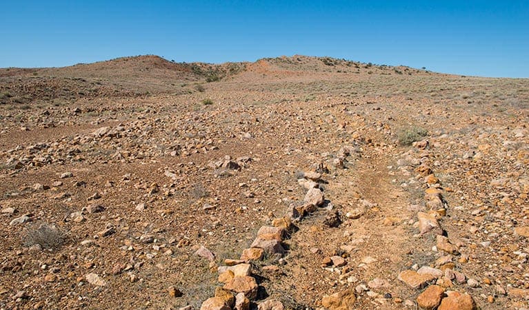
Along the walk are the historical artefacts of European settlement, including the remains of an old brush fence and a well. You'll also come across the historic ruins of the Old Fort Grey homestead, which is well worth a stop to look.
Although red sand dunes are the norm in this part of the outback you'll be delighted when you encounter the crescent of white sand curving around the Ramsar wetlands - a significant conservation area and a haven for a range of waterbirds, including black swans and a range of ducks.
It's not possible to complete the walk when Lake Pinaroo is full - a sight in itself with the number and variety of birdlife.
This walk can only be undertaken when Lake Pinaroo is dry.
Check the weather before you set out as roads within Sturt National Park may be closed during wet weather.
This park is in a remote location, please ensure you are thoroughly prepared, bring appropriate clothing and equipment and advise a family member or friend of your travel plans.
Visit NSW National Parks and Wildlife Service for more information on this trail.
The longitude and latitude of the start and end points are approximately only and should not be used for navigation purposes. Please contact me if you know the correct coordinates.
Got some great shots from this hike? Upload your photos here to inspire others and show off the beauty of the trail!
Submitting your photos doesn’t mean you lose ownership. You can be credited for your contributions, and you can request removal at any time.
Please don’t copy GPX files or content from this site to AllTrails or other platforms. Each trail has been personally mapped, documented, and refined to support Australia’s bushwalking and hiking community. While some details come from land managers, every listing reflects significant personal effort. This is a free, community-driven initiative—your respect helps keep it that way.
It looks like I don’t have a GPX file for this trail yet. If you have one to share, please email it to me! I’ll verify it against official maps before adding it to help other hikers have a safer, easier experience. Thanks for contributing to a better hiking resource.
Getting there
Getting to the trailhead: Sturt National Park.
The Wells walk starts at Fort Grey campground, in the western part of Sturt National Park. Parking Parking is available at Fort Grey campground
Closest towns to this walk: Bourke, Broken Hill, Cobar, Menindee, Milparinka, Packsaddle, Tibooburra, Wanaaring, White Cliffs, Wilcannia
Similar walks nearby
Looking for more walks in or near Sturt National Park? Try these trails with a similar difficulty grade.
Favourite

Favourite

Favourite

Favourite

Track grade
Grade 5 (Difficult) - Walks for the Most Experienced: Grade 5 represents the most challenging walking tracks on the
AWTGS. These are only recommended for very experienced and fit walkers with specialised skills, including navigation and emergency first aid. Tracks are likely to be very rough, very steep, and unmarked. Walks may be more than 20 kilometers. These challenging walks demand a high level of fitness and experience to navigate difficult terrain, significant elevation changes, and potentially unformed paths.
Explore safe
Plan ahead and hike safely! Carry enough water, pack layers for changing conditions, and bring safety gear like a torch, PLB, and reliable communication device. Check official sources for trail updates, closures, and access requirements, and review local weather and bushfire advice. Most importantly, share your plans with someone before you go. Being prepared makes for a safer and more enjoyable hike! Stay Safe, Explore More, and Always #ExploreSafe.
Packing checklists
What you carry in your pack depends on factors like weather, terrain, and your adventure type. Not sure what to bring? My free planning, food, and packing checklists are a great starting point, covering day hikes, overnight trips, and multi-day adventures. Use them to customise your kit and always prioritise safety.
Let someone know
Before heading out, take a moment to fill out your trip intentions form. It’s a quick way to share your hike details with family or friends. If something goes wrong, they can notify emergency services, ensuring a faster response and peace of mind. Stay safe and enjoy your adventure
Suggest an edit
Spotted a change on this trail? Maybe there are new features, the route has shifted, or the trail is permanently closed. Whatever the update, I’d love your input. Your feedback helps fellow hikers stay informed and ensures that our trail info stays fresh and reliable.


